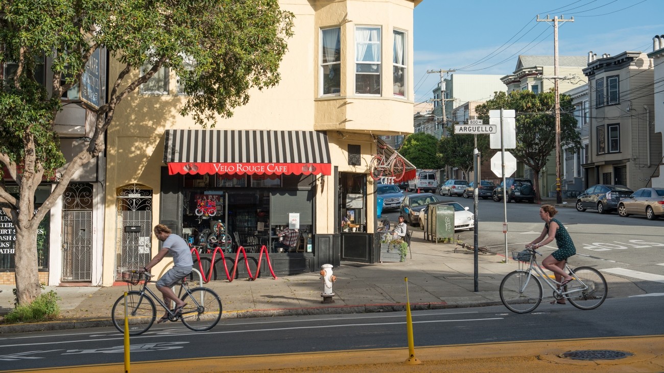
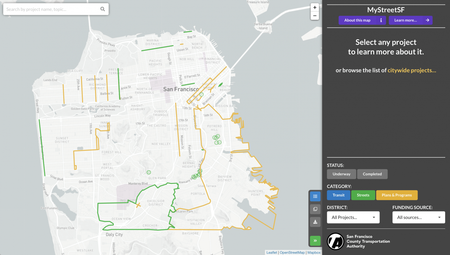
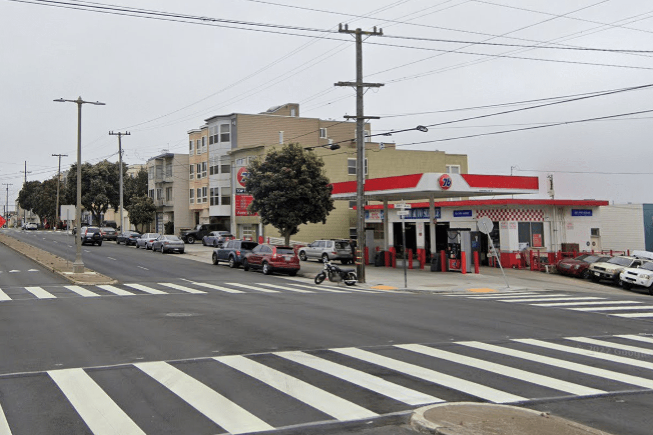
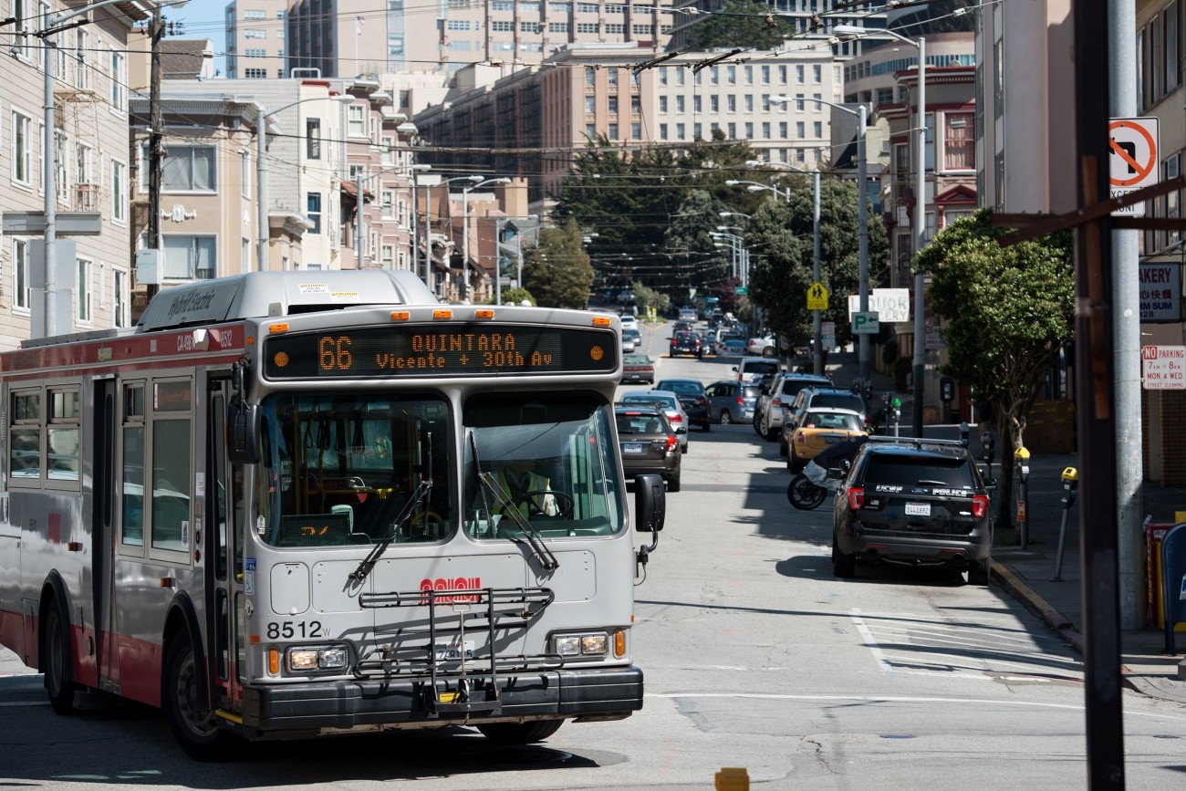
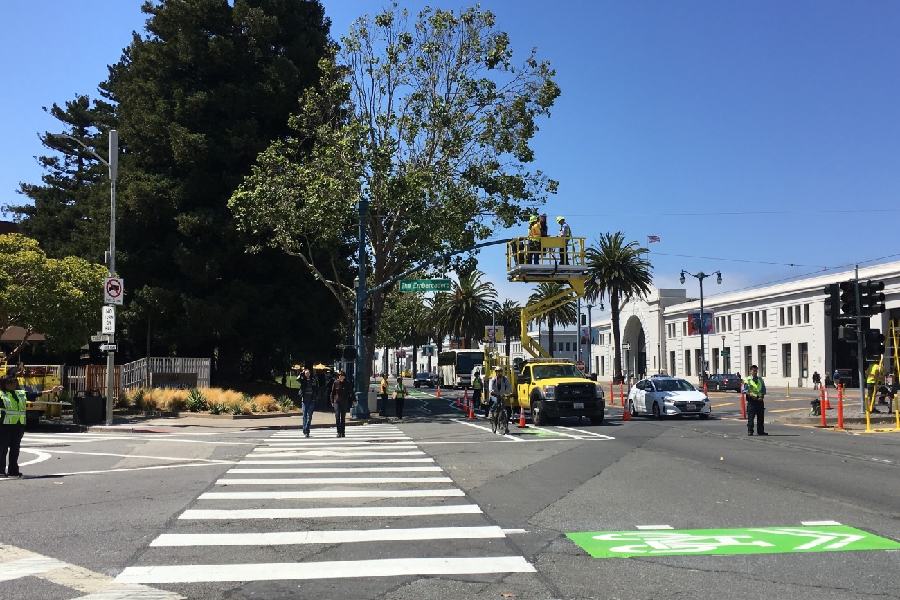
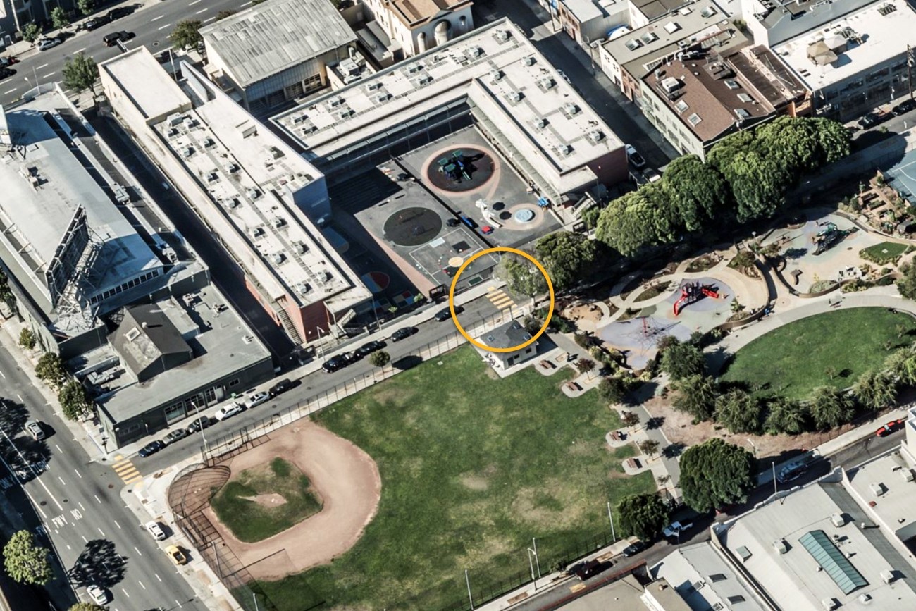
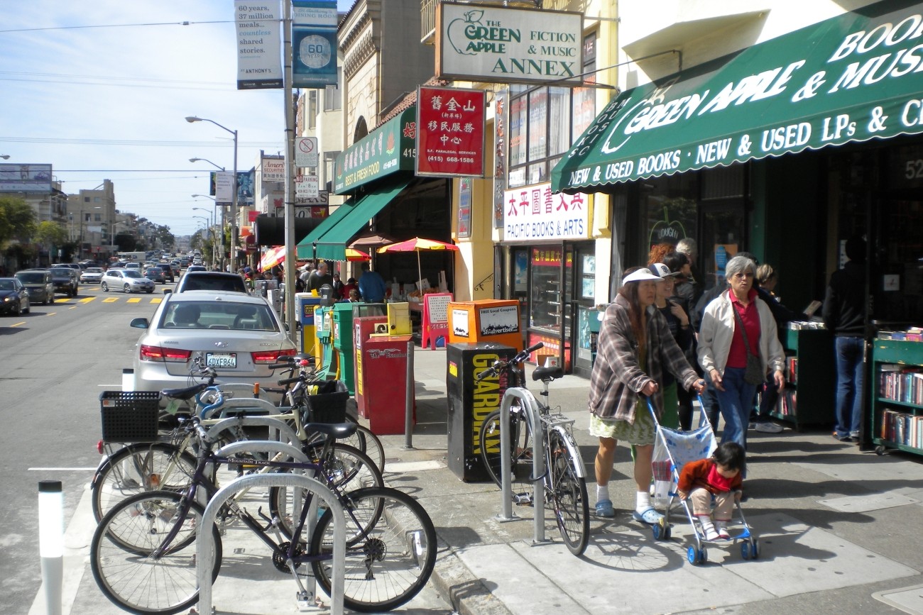
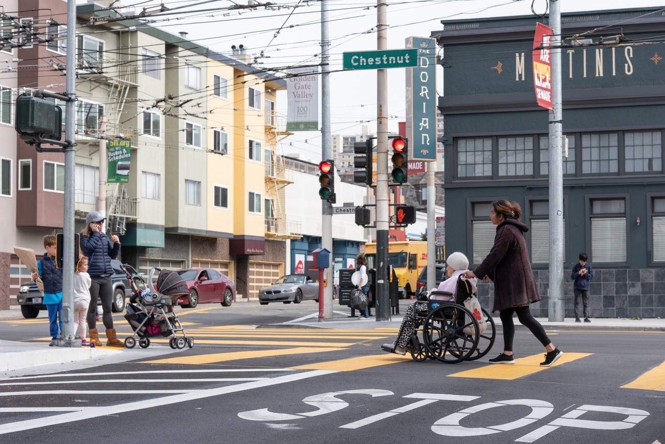
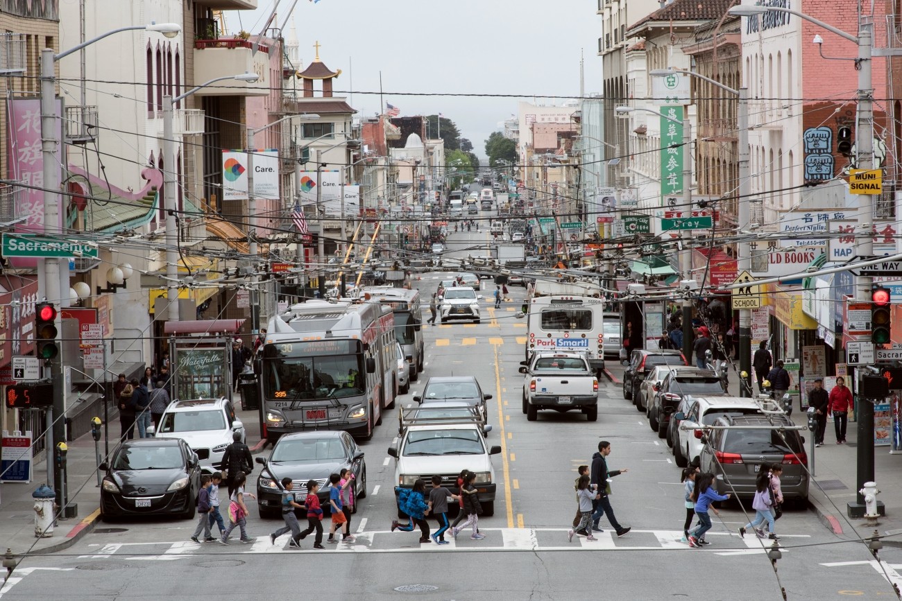
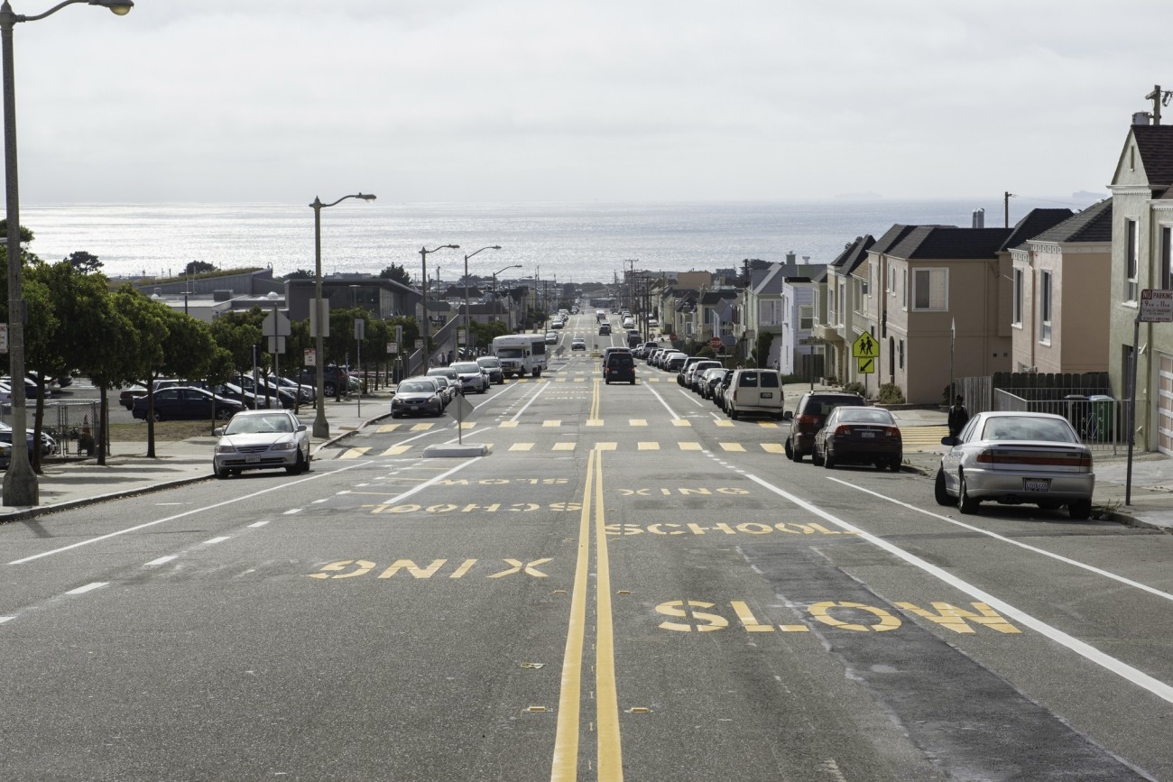
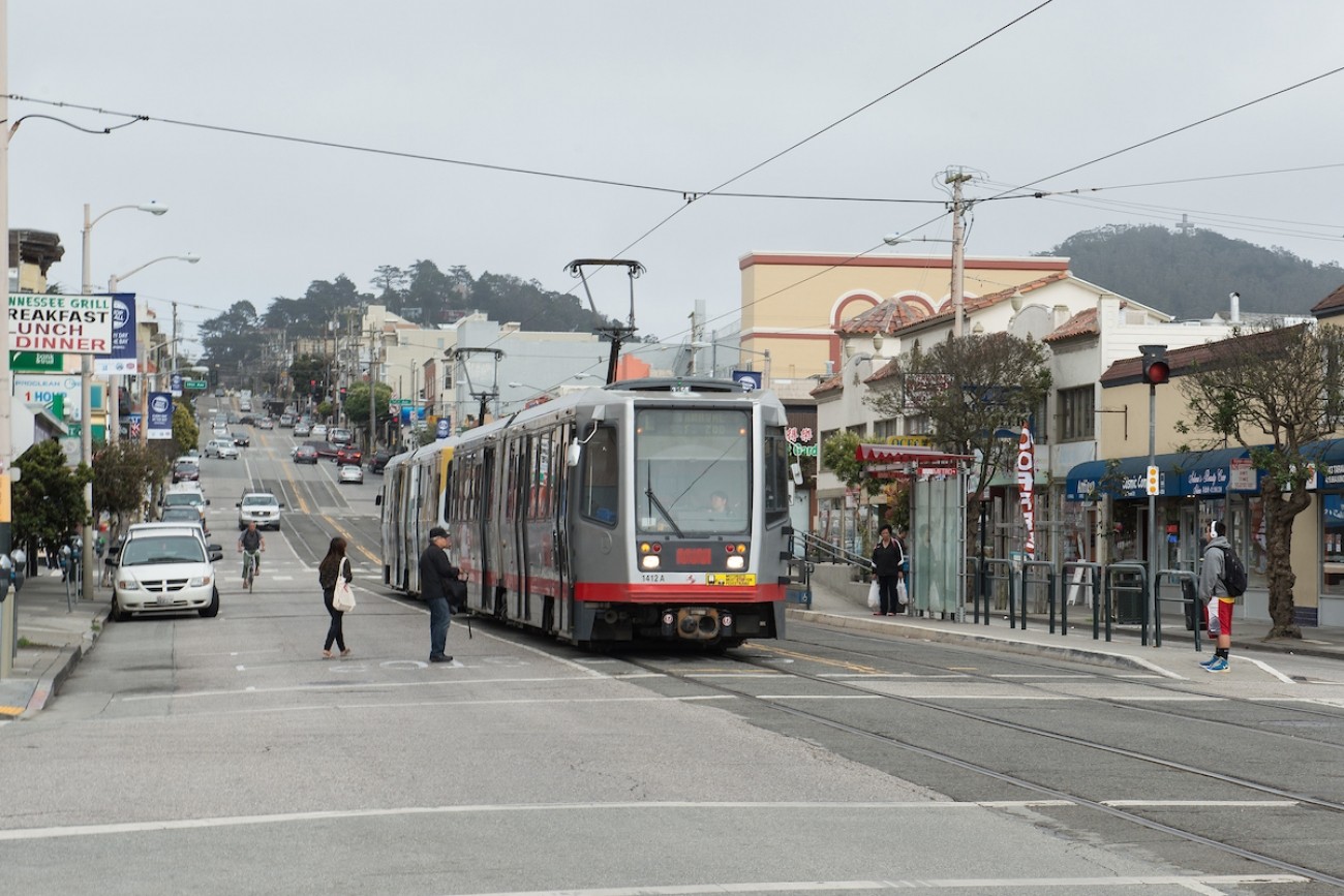
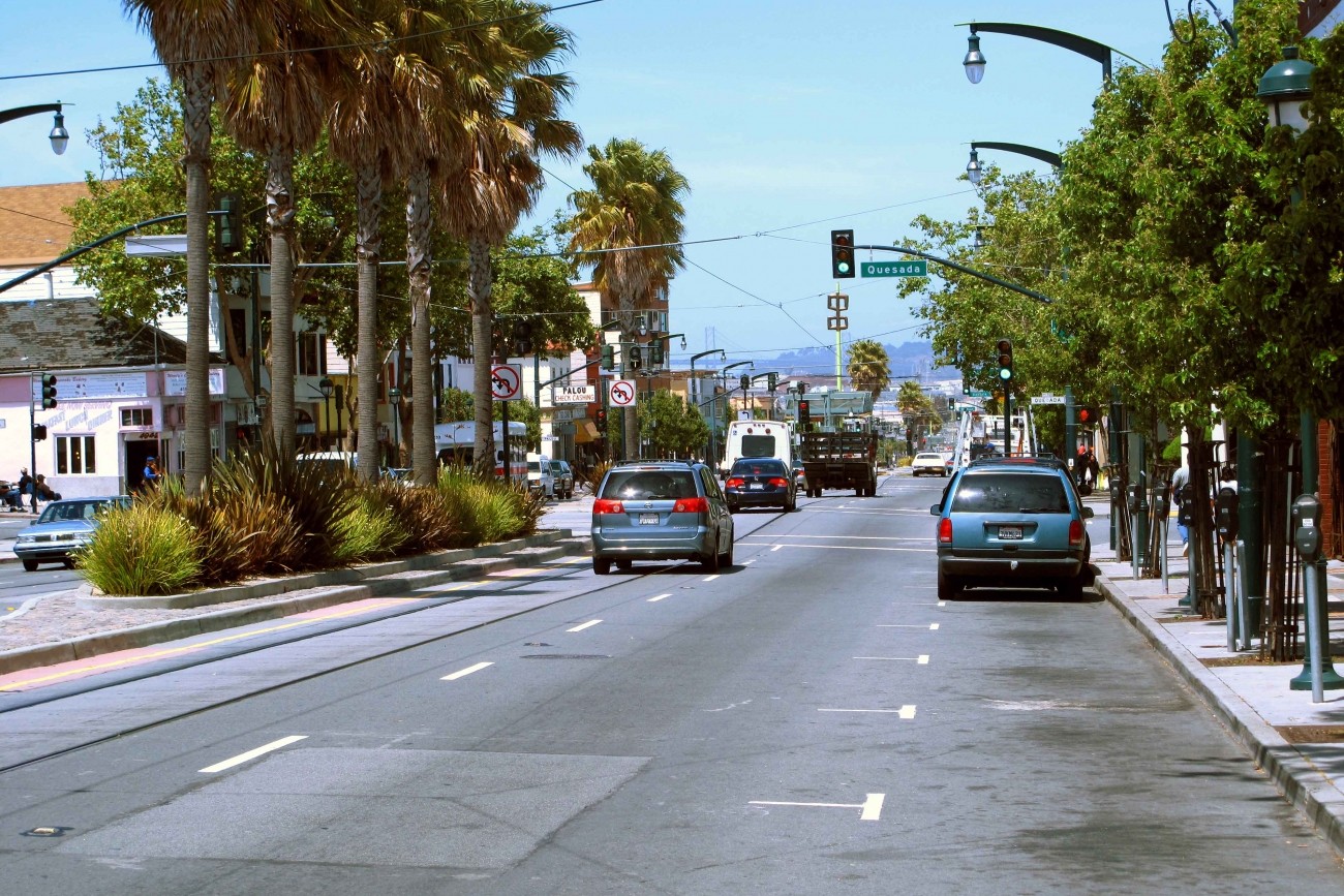
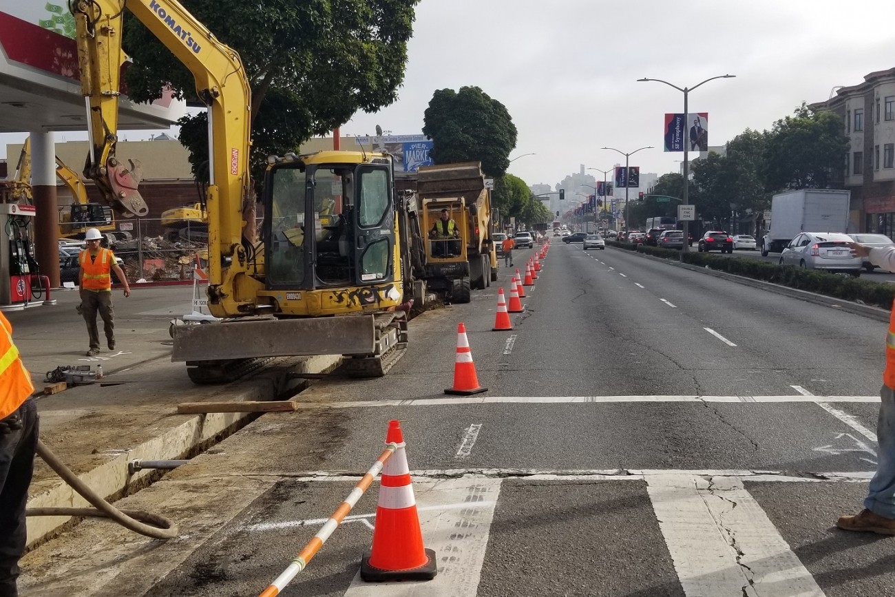
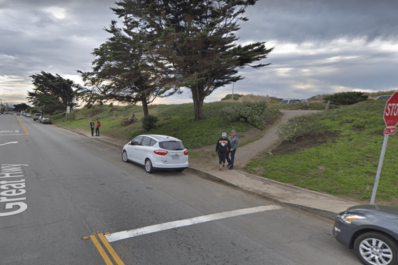
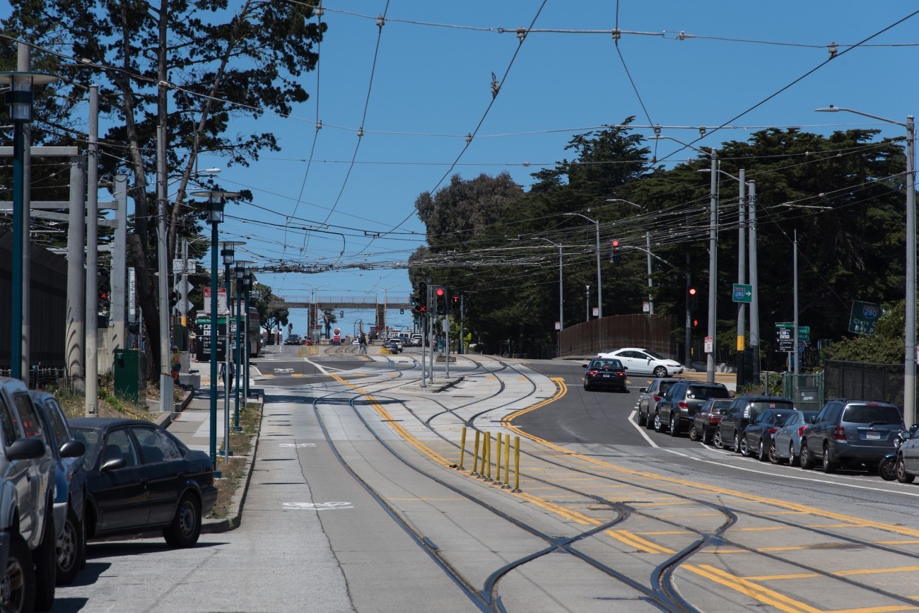
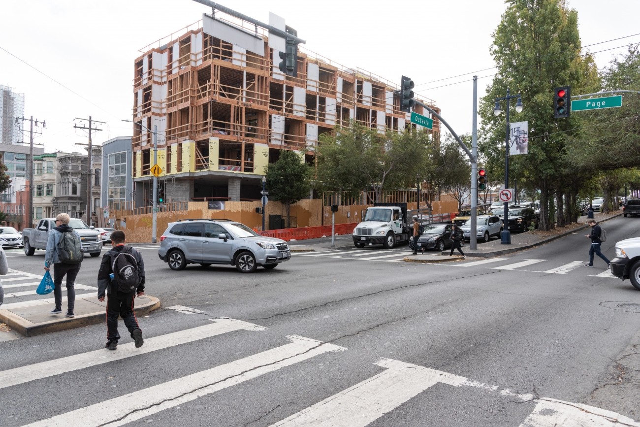
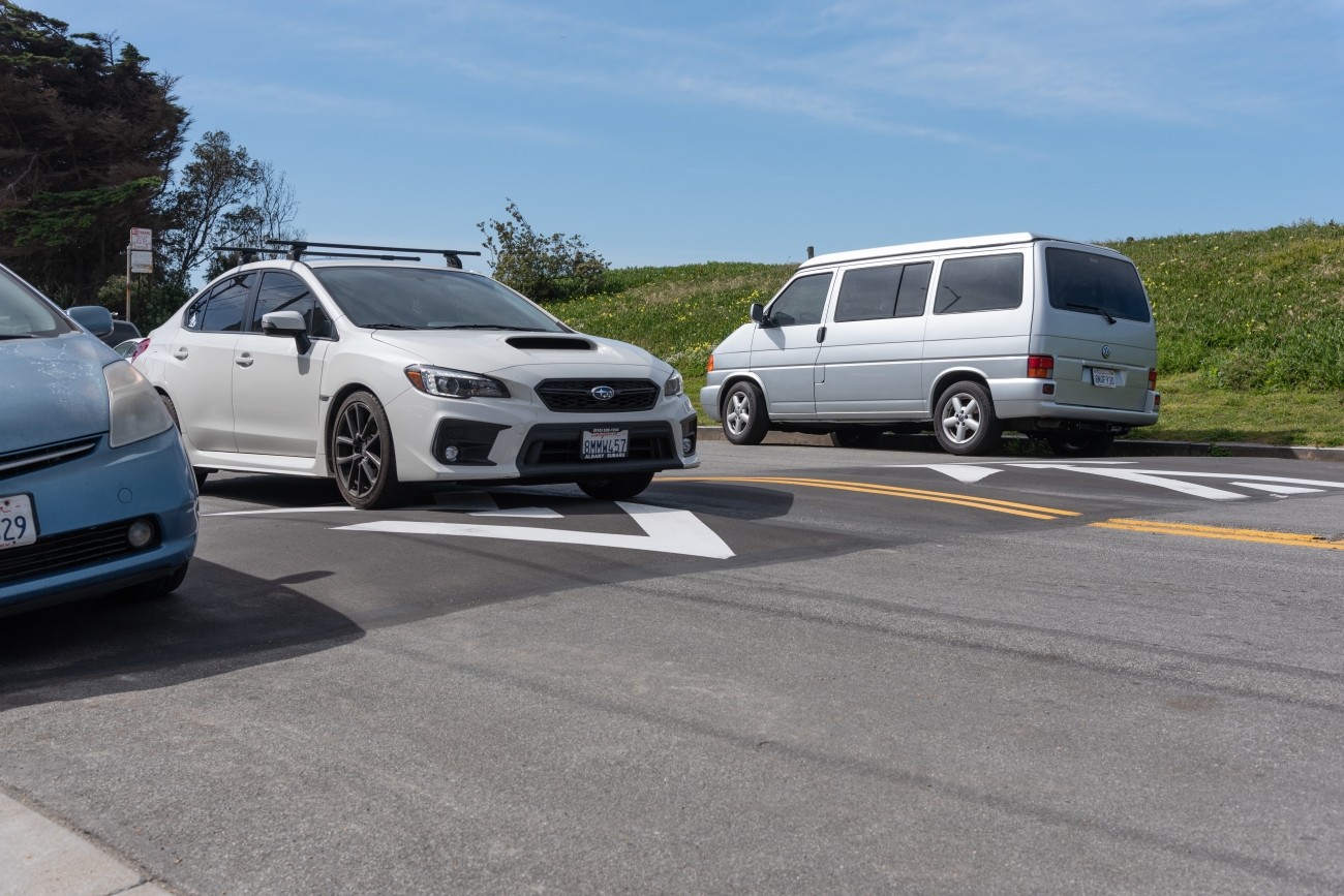
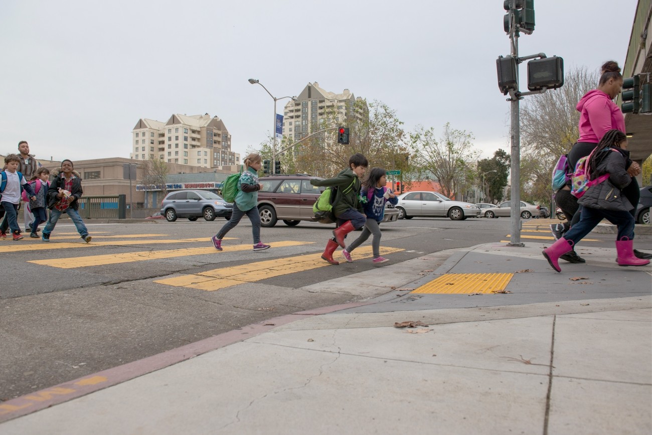
The Transportation Authority’s Neighborhood Program supports neighborhood-scale transportation projects in each supervisorial district.
All Neighborhood Program projects must address one or more of the following priorities:
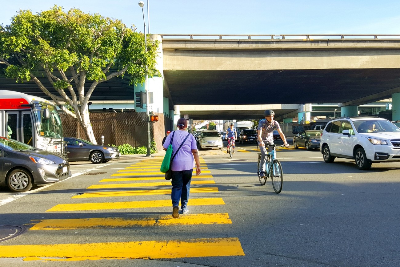
- Improve safety for pedestrians, cyclists, and/or other street users
- Encourage walking, biking, and/or transit use
- Improve transit accessibility and/or reliability
- Improve mobility for Equity Priority Communities or other underserved neighborhoods and vulnerable populations
The Neighborhood Program was developed in response to mobility and equity analysis findings from the San Francisco Transportation Plan and to the public’s and the Transportation Authority Board's desire to increase our focus on neighborhoods, especially Equity Priority Communities and other underserved neighborhoods. The San Francisco Transportation Plan found that walking, biking and transit reliability initiatives are important ways to address socio-economic and geographic disparities and that neighborhood transportation plans can establish a pipeline of grant-ready projects that reflect community priorities, such as street safety, mode shift, transit accessibility, and mobility.
Selecting Projects
As described in the Neighborhood Program Guidelines, anyone can come up with a Neighborhood Program grant idea, including, but not limited to, a District Supervisor, agency staff, a community-based organization, or a community member. There is no predetermined schedule or call for projects for the Neighborhood Program grants. Rather, each Transportation Authority Board member will contact the Transportation Authority’s Neighborhood Program Coordinator when they are interested in exploring Neighborhood Program proposals. Board members may already have an idea in mind, seek help from agency staff in generating ideas, and/or solicit input from constituents and other stakeholders. Ultimately, the district supervisor (acting in their capacity as a Transportation Authority Board commissioner) will recommend which project(s) will be funded with a Neighborhood Program grant.
Contact your district supervisor to propose an idea.
Neighborhood Program Guidelines (PDF)
Funding
The Neighborhood Program provides $700,000 in Prop L transportation sales tax funding for each supervisorial district to use over a five-year period. In 2023 the Board approved a third five-year funding cycle for the Neighborhood Program, which began in July 2023. District supervisors, acting as Transportation Authority Board members, determine which projects are funded.
Historically, $100,000 has been programmed for Planning and $600,000 for Capital (e.g. design and construction) for each district. Planning funds are intended to support neighborhood-scale efforts that identify a community’s top transportation needs, identify and evaluate potential solutions, and recommend next steps for meeting the identified needs. Planning efforts should lead toward prioritization of community-supported, neighborhood-scale capital improvements that can be funded by the Transportation Authority’s Prop L sales tax for transportation and/or other sources.
Capital funds are intended to advance recommendations from Neighborhood Program Planning effort recommendations or other community-supported, neighborhood-scale plans and studies. For example, Neighborhood Program Capital funds could be used to fund design of a project that could then apply for construction funding from a competitive grant source.
Underway Neighborhood Program Projects
| Project Name | District | Agency Lead | Phase | Allocation |
|---|
| District 2 Safety Study and Implementation | 2 | Transportation Authority, SFMTA | Planning and Capital | $700,000 |
| West Broadway Tunnel Safety | 3 | SFMTA | Capital | $261,000 |
| Great Highway Gateway Study | 4 | SFMTA | Planning | $159,145 |
| Lincoln Way Traffic Signals | 4 | Transportation Authority, SFMTA | Design | $500,000 |
| District 5 Daylighting | 5 | SFMTA | Capital | $117,500 |
| District 6 Traffic Calming and Sideshow Deterrence | 6 | SFMTA | Capital | $360,000 |
| Mission Bay School Access Plan | 6 | Transportation Authority, SFMTA | Planning | $319,307 |
| District 7 FY19 Participatory Budgeting Priorities | 7 | SFMTA | Capital | $255,000 |
| District 7 FY20 Participatory Budgeting Priorities | 7 | SFMTA | Capital | $132,600 |
| Inner Sunset Multimodal Safety and Access Study | 7 | Transportation Authority, SFMTA | Planning | $350,000 |
| Monterey Boulevard Pedestrian Improvements | 7 | SFMTA | Capital | $350,000 |
| Ocean Avenue Safety and Bike Access | 7 | SFMTA | Capital | $237,000 |
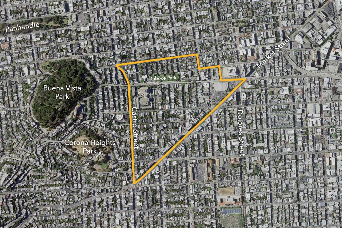
| Duboce Triangle Slow Streets Study | 8 | SFMTA | Planning | $250,000 |
| Next Generation Sanchez Slow Street | 8 | SFMTA | Capital | $277,300 |
| Valencia Long-Term Bikeway Study | 9 | SFMTA | Planning | $210,000 |
| Vision Zero Proactive Traffic Calming — Visitacion Valley and Portola Neighborhoods | 9 | SFMTA | Capital | $150,000 |
| Visitacion Valley & Portola Community Based Transportation Plan Implementation | 10 | SFMTA | Capital | $435,000 |
| District 11 Traffic Calming and Sideshow Deterrence | 11 | SFMTA | Capital | $700,000 |
| Total Active Projects | $5,763,852 |
Completed Neighborhood Program Projects
| Project Name | District | Agency Lead | Phase | Allocation | Year Completed |
|---|
| 38th and Geary Rectangular Rapid Flashing Beacons | 1 | SFMTA | Capital | $212,000 | 2024 |
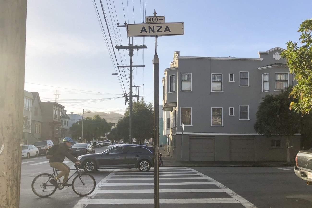
| Anza Bike Lanes | 1 | SFMTA | Capital | $220,000 | 2022 |
| Arguello Blvd Improvements | 1 | SFMTA | Capital | $188,931 | 2018 |
| Clement Street & 6th Avenue Intersection Improvements | 1 | SFMTA | Capital | $125,000 | 2025 |
| District 1 Multimodal Transportation Study | 1 | Transportation Authority | Planning | $300,000 | 2024 |
| District 1 NTIP Planning Project | 1 | SFMTA | Planning | $100,000 | 2017 |
| Fulton Street Safety Project (Cycle 1) | 1 | SFMTA | Capital | $82,521 | 2020 |
| Fulton Street Safety Project (Cycle 2) | 1 | SFMTA | Capital | $236,215 | 2020 |
| Golden Gate Park Stakeholder Working Group and Action Framework | 1 | Transportation Authority | Planning | $61,525 | 2021 |
| Lombard Crooked Street Reservation and Pricing System Development | 2 | Transportation Authority | Capital | $200,000 | 2019 |
| Lombard Street US-101 Corridor | 2 | SFMTA | Capital | $400,000 | 2020 |
| Managing Access to the "Crooked Street" (1000 Block of Lombard Street) | 2 | Transportation Authority | Planning | $100,000 | 2017 |
| Battery and Sansome Bicycle Connections | 3 | SFMTA | Capital | $200,000 | 2019 |
| District 3 Pedestrian Safety Improvements | 3 | SFMTA | Capital | $819,800 | 2024 |
| Jefferson Street Improvements Phase 2 | 3 | SF Public Works | Capital | $200,000 | 2021 |
| Portsmouth Square Community Based Transportation Plan | 3 | Transportation Authority, SFMTA | Planning and Capital | $50,000 | 2020 |
| Walter U Lum Place Public Space Study | 3 | Transportation Authority, SFMTA | Planning | $350,000 | 2025 |
| 66 Quintara Connectivity Study | 4 | SFMTA | Planning | $100,000 | 2018 |
| District 4 Mobility Improvements Study | 4 | Transportation Authority | Planning | $100,000 | 2021 |
| Lower Great Highway Pedestrian Improvements | 4 | SFMTA | Capital | $250,000 | 2021 |
| Ortega Street Improvements | 4 | SFMTA | Capital | $330,000 | 2025 |
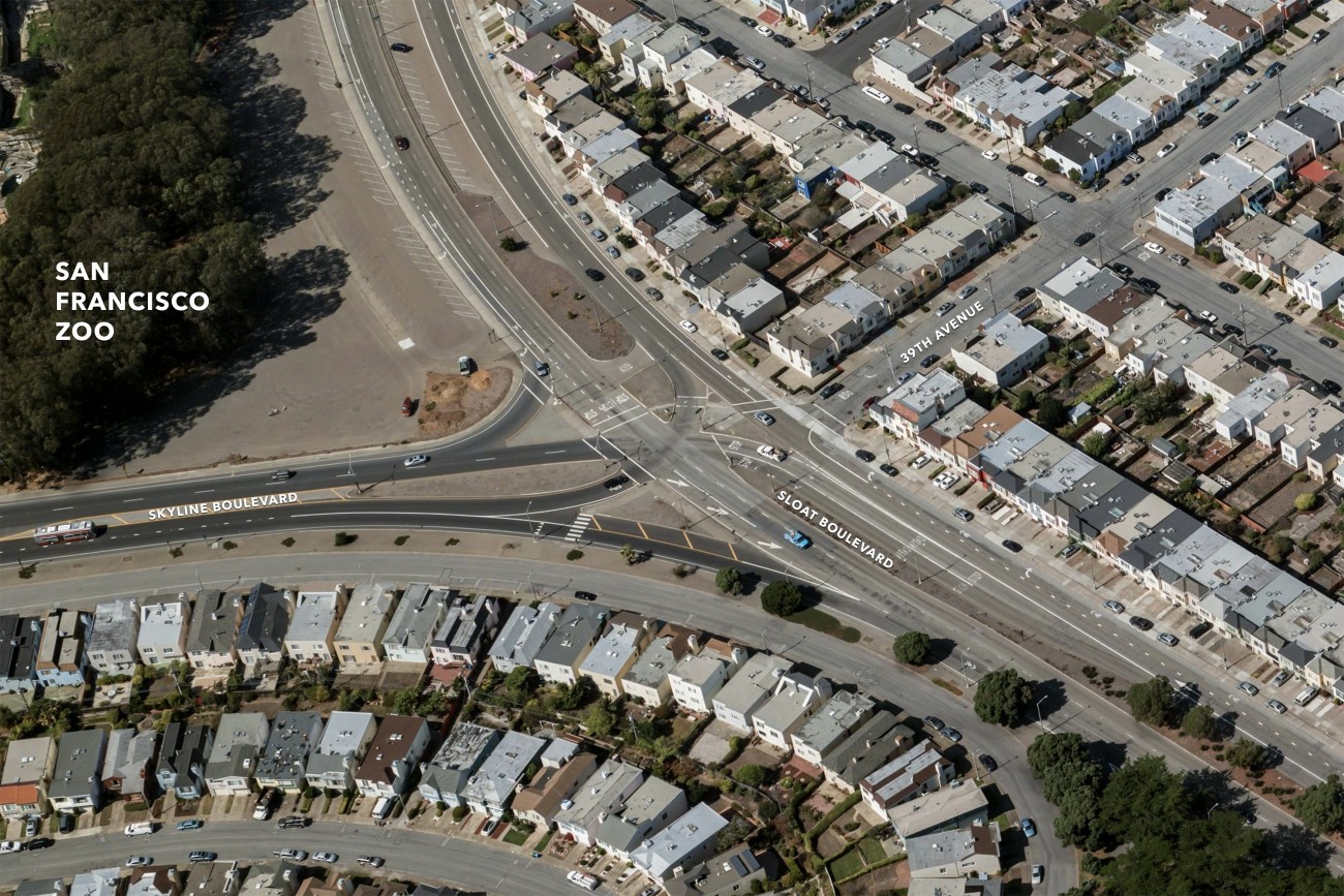
| Sloat/Skyline Intersection Alternatives Analysis | 4 | SFMTA | Capital | $250,000 | 2023 |
| Buchanan Mall Bulbouts - Golden Gate and Turk | 5 | SF Public Works | Capital | $300,000 | 2022 |
| Divisadero Intersection Improvements | 5 | SFMTA | Capital | $273,500 | 2021 |
| Frederick/Clayton Traffic Calming | 5 | SFMTA | Capital | $175,000 | 2022 |
| Octavia Improvements Study | 5 | Transportation Authority, SFMTA | Planning | $100,000 | 2023 |
| Western Addition Community-Based Transportation Plan | 5 | SFMTA | Planning | $100,000 | 2017 |
| 7th and 8th Streets Freeway Ramp Intersection Near Term Improvements | 6 | SFMTA | Capital | $160,000 | 2021 |
| Bessie Carmichael Crosswalk | 6 | SFMTA | Capital | $28,000 | 2018 |
| Golden Gate Avenue Buffered Bike Lane | 6 | SFMTA | Capital | $50,000 | 2019 |
| Howard Street - Embarcadero to 3rd Street | 6 | SFMTA | Capital | $75,000 | 2021 |
| Pedestrian Safety in SOMA Youth and Family Zone - Folsom-Howard Streetscape Project | 6 | SFMTA | Planning | $48,000 | 2019 |
| Pedestrian Safety in SOMA Youth and Family Zone - Vision Zero Ramp Intersection Study | 6 | Transportation Authority | Planning | $52,000 | 2018 |
| South Park Traffic Calming | 6 | SF Public Works | Capital | $30,000 | 2018 |
| Tenderloin Traffic Safety Improvements | 6 | SFMTA | Planning and Capital | $177,693.00 | 2021 |
| Treasure Island Supplemental Transportation Study | 6 | Transportation Authority | Planning | $100,000 | 2023 |
| Balboa Area TDM Study | 7 | SF Planning | Planning | $100,000 | 2018 |
| Lake Merced Bikeway Feasibility | 7 | SFMTA | Capital | $150,000 | 2021 |
| Lake Merced Quick-Build | 7 | SFMTA | Capital | $250,000 | 2022 |
| Ocean Avenue Mobility Action Plan | 7 | Transportation Authority | Planning | $275,000 | 2023 |
| 14th Street Road Diet | 8 | SFMTA | Capital | $60,700 | 2023 |
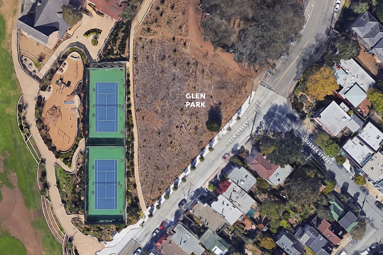
| Elk Street at Sussex Street Pedestrian Safety Improvements | 8 | SFMTA | Capital | $405,000 | 2023 |
| Jane Warner Plaza Renovation Project | 8 | SF Public Works | Planning | $100,000 | 2024 |
| Slow Duboce Triangle Study | 8 | Transportation Authority | Planning | $7,000 | 2022 |
| Upper Market Street Safety Improvements | 8 | SFMTA | Capital | $500,000 | 2023 |
| Valencia Street Bikeway Implementation Plan | 8 | SFMTA | Planning | $50,000 | 2019 |
| Alemany Interchange Improvement Study | 9 | Transportation Authority, SFMTA | Planning | $100,000 | 2017 |
| Alemany Realignment Study | 9 | Transportation Authority | Planning | $100,000 | 2023 |
| Alemany Interchange Improvements | 9 | SFMTA, SF Public Works | Capital | $399,995 | 2021 |
| District 9 Traffic Calming | 9 | SFMTA | Capital | $165,000 | 2024 |
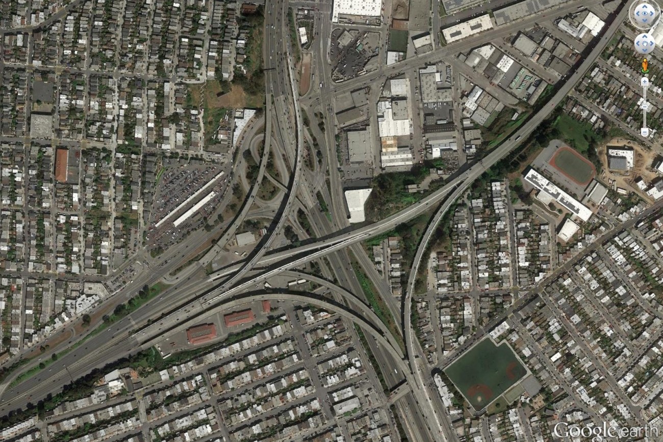
| Bayshore Blvd/Cesar Chavez St/Potrero Ave Intersection (The Hairball - Segments F & G) | 9 & 10 | SF Public Works | Capital | $400,000 | 2022 |
| Hairball Segments F & G - Additional Funds | 9 & 10 | SF Public Works | Capital | $150,000 | 2021 |
| Bayshore Blvd/Cesar Chavez St/Potrero Ave Intersection Improvements | 10 | SFMTA | Capital | $100,000 | 2016 |
| District 10 15 Third Street Bus Study | 10 | Transportation Authority | Planning | $30,000 | 2020 |
| District 10 Mobility Management Study | 10 | Transportation Authority | Planning | $100,000 | 2018 |
| Minnesota and 25th St Intersection Improvements | 10 | SF Public Works | Capital | $400,000 | 2025 |
| Potrero Hill Pedestrian Safety and Transit Stop Improvements | 10 | SFMTA | Capital | $60,000 | 2022 |
| Alemany Safety Project | 11 | SFMTA | Planning | $100,000 | 2020 |
| District 11 Near-Term Traffic Calming | 11 | SFMTA | Capital | $600,000 | 2022 |
| District 11 Traffic Calming | 11 | SFMTA | Capital | $600,000 | 2025 |
| Geneva-San Jose Intersection Study | 11 | SFMTA | Planning | $100,000 | 2020 |
| Total Completed Projects | $11,847,880 | |
Contact
propl@sfcta.org
