Image
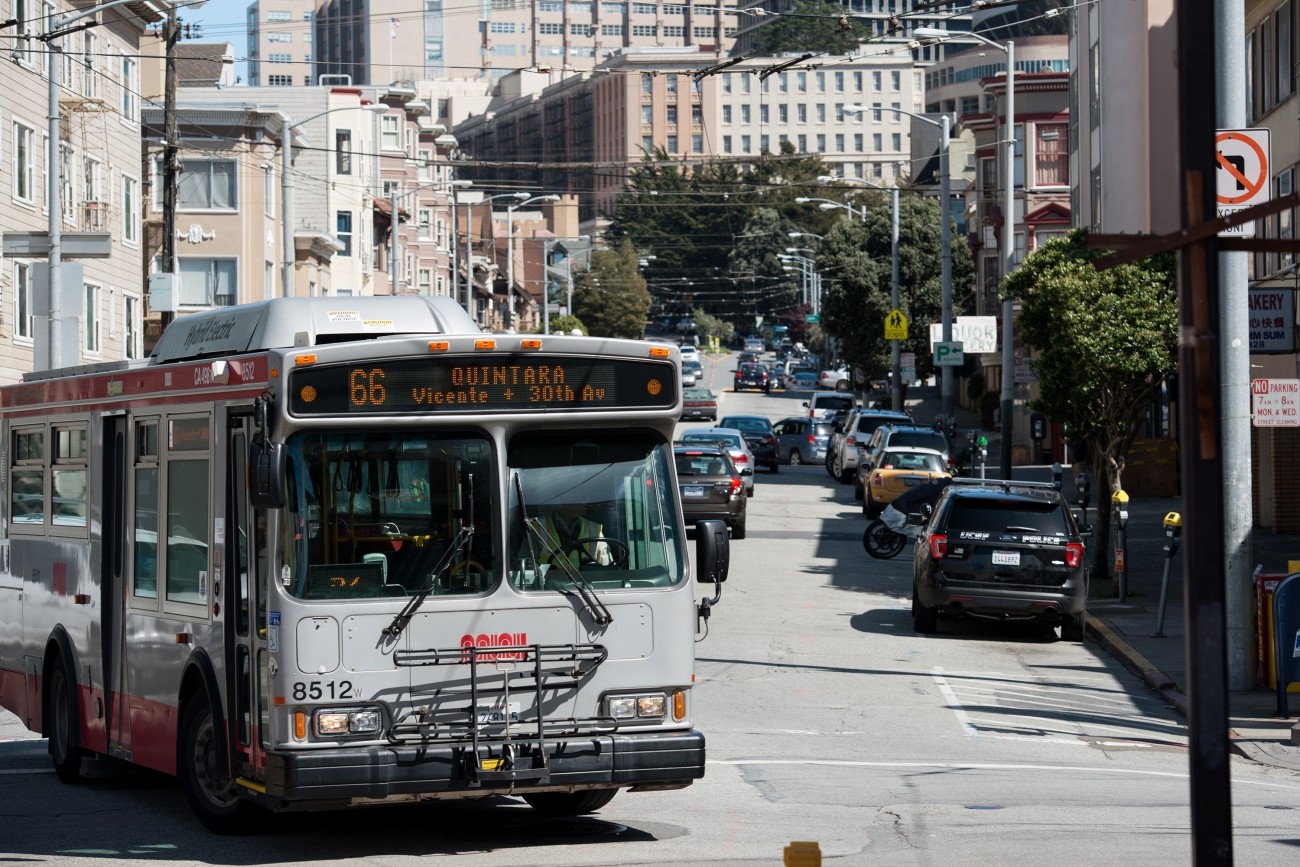
The 66-Quintara Reconfiguration Study identified ways to meet the San Francisco West Side neighborhoods’ transit access and connectivity needs.
Image
The Lombard Street Safety Project will implement street safety improvements such as sidewalk extensions, signal timing adjustments, and enhanced crosswalk and intersection striping.
Image
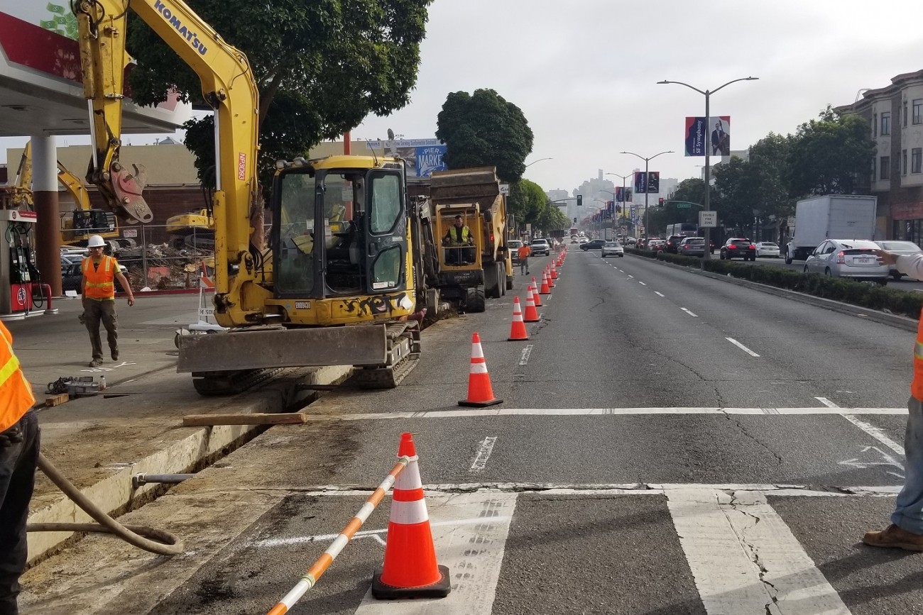
This project will design and construct traffic calming measures along the Folsom Street and Crescent Avenue corridors in District 9.
Image
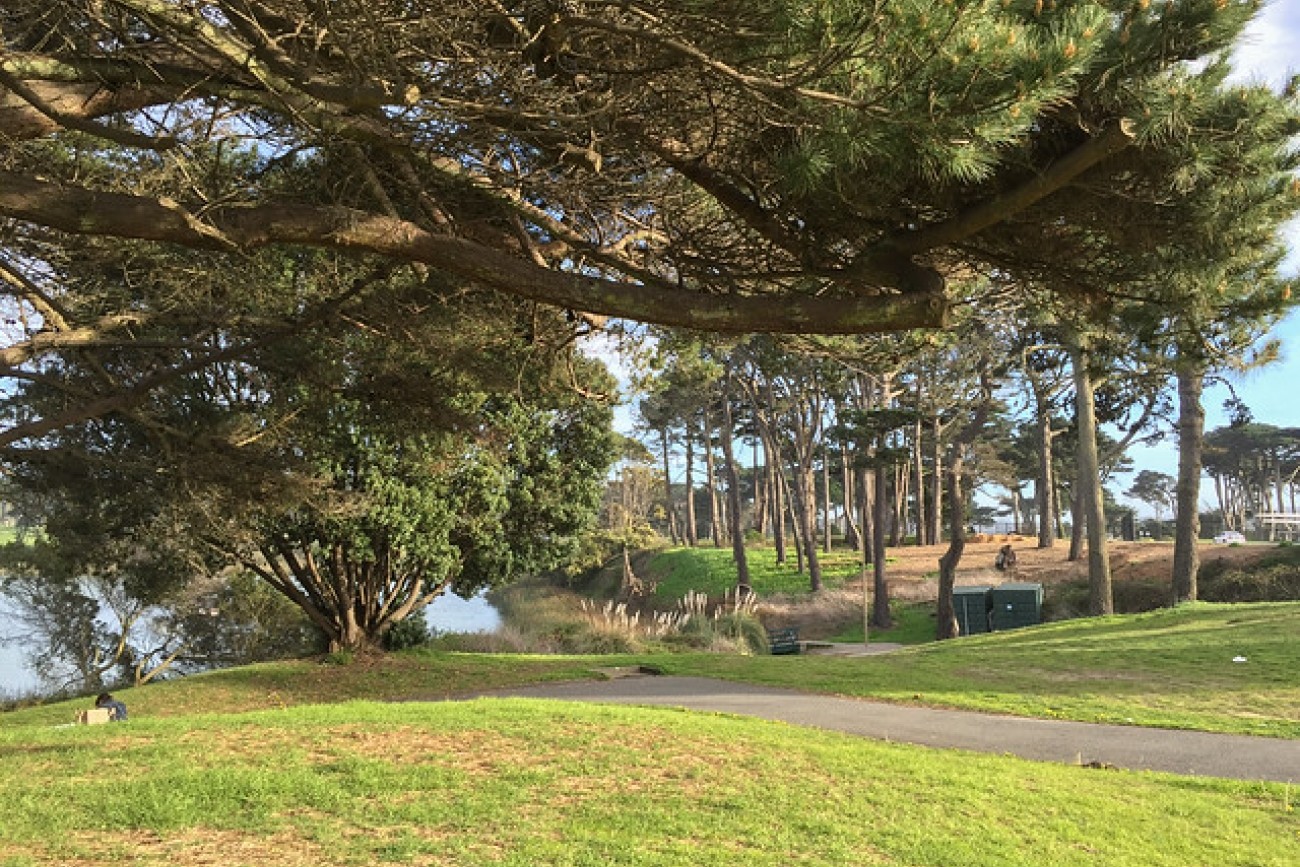
The SFMTA will study how to improve bike safety and access to and within Lake Merced Park.
Image
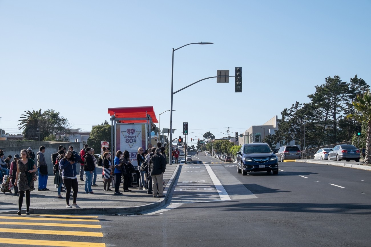
The Balboa Area Transportation Demand Management Framework process was designed to initiate collaboration between the City, City College of San Francisco, and surrounding neighborhoods in the effort to encourage sustainable transportation choices in the area.
Image
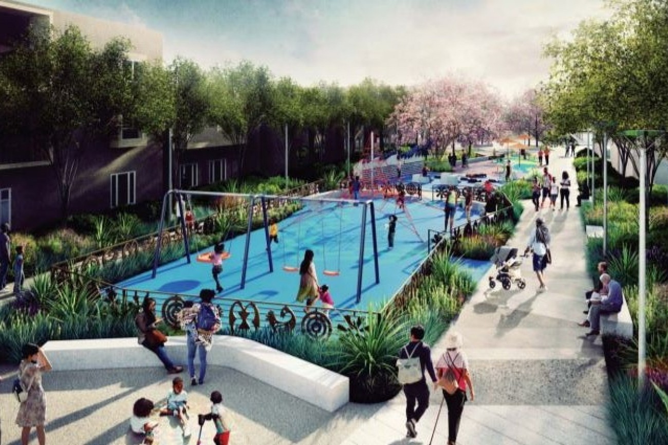
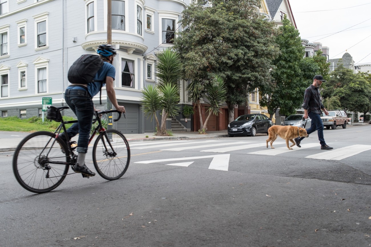
The Buchanan Mall Bulb-outs project will enhance safety and connectivity for people walking to the Buchanan mall and surrounding neighborhood by implementing improvements at two intersections, as evaluated and recommended in the Western Addition Community Based Transportation Plan.
Image
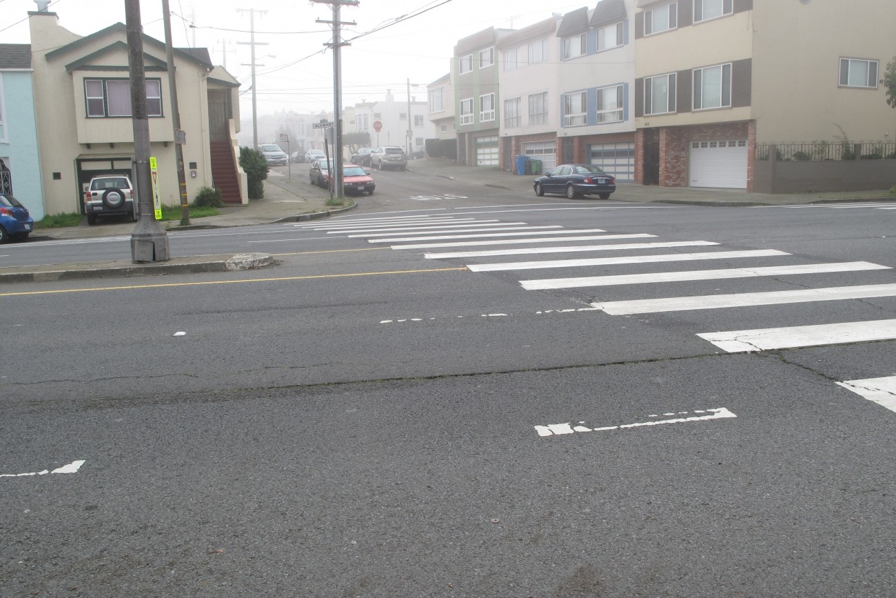
Segments of Alemany Boulevard between Sickles Avenue and Mission Street are part of the city’s High-Injury Network. The SFMTA is exploring ways to make Alemany Boulevard safer for all road users. This study builds on prior work by the SFMTA and San Francisco Planning Department.
Image
Transportation Authority Board Member Norman Yee (D7) engaged District 7 residents in an inclusive participatory budgeting process to identify projects that will improve the safety and quality of its neighborhoods. Through this process, the residents and stakeholders requested traffic calming and pedestrian safety measures at specific locations.
Image
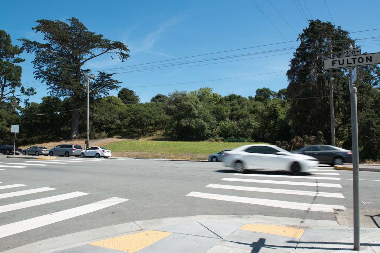
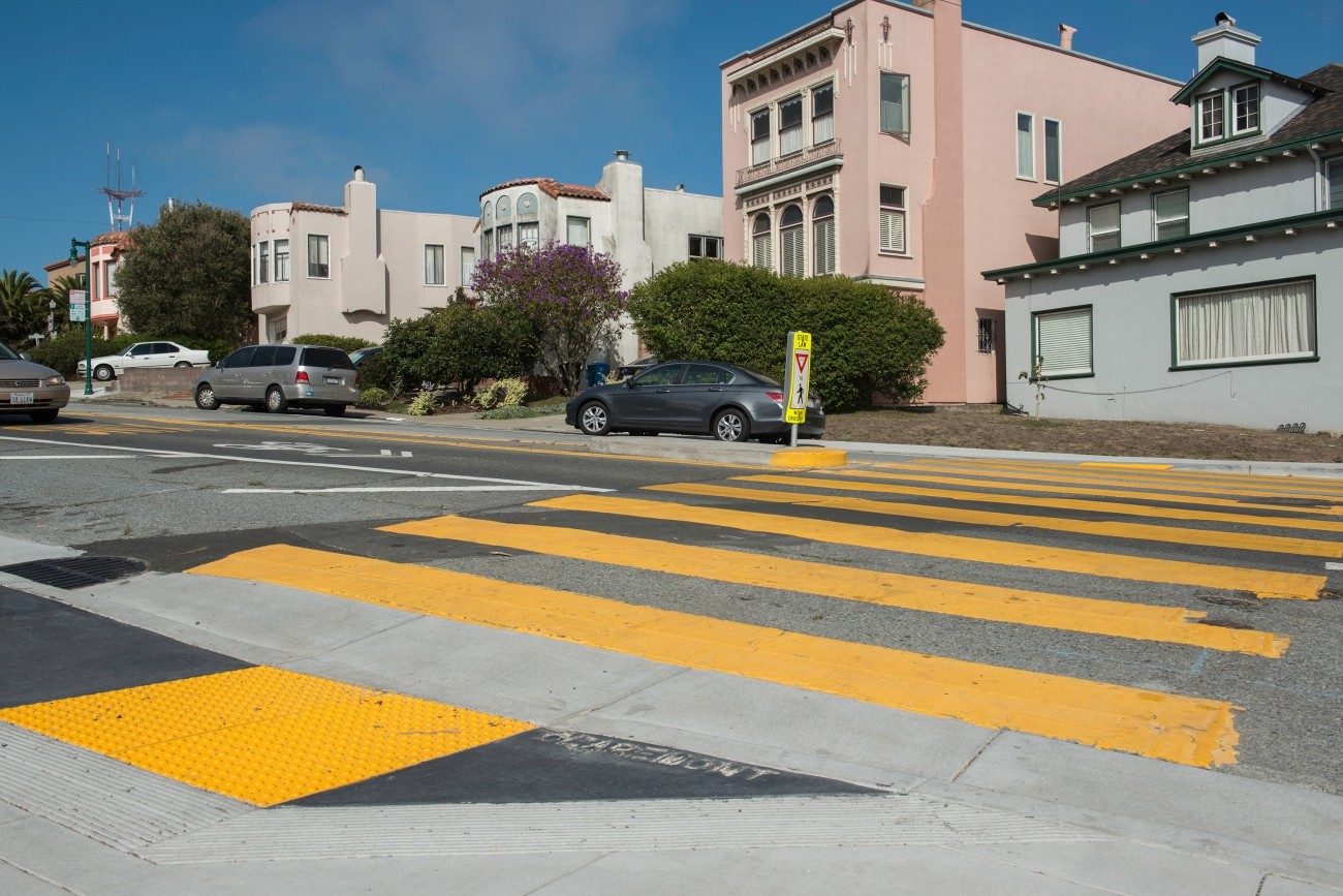
The SFMTA will develop recommendations and conceptual designs for safety and accessibility improvements for up to 1.5 miles of Fulton Street between Stanyan and LaPlaya.
Image
Through this study, the SFMTA developed conceptual design improvements to address safety issues near the Geneva-San Jose Intersection.
Image
The SFMTA’s Sansome and Battery Connections Project will improve walking and bicycling between the Embarcadero and the Financial District by providing an alternative route parallel to the Embarcadero corridor.
Image
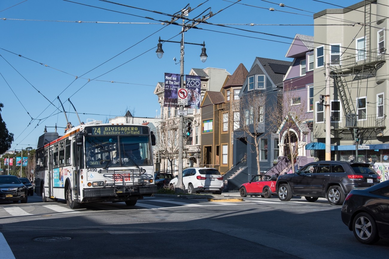
The SFMTA’s Divisadero Intersection Improvements project will improve ten intersections on a segment of Divisadero between Turk and Haight streets.
Image
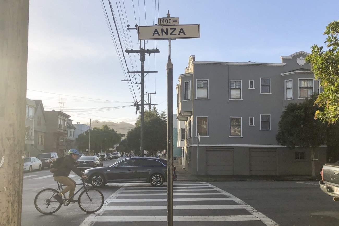
The aim of the Anza Street Bike Lanes project is to improve safety and accessibility for bicyclists on Anza Street.
Image
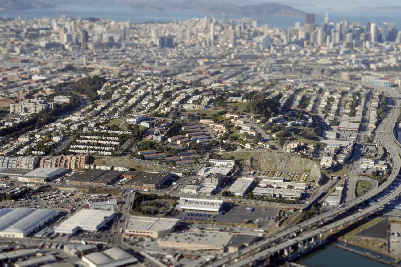
This community-based transportation plan for the southern Potrero Hill neighborhood of San Francisco identified transportation priorities at the neighborhood scale.
Image
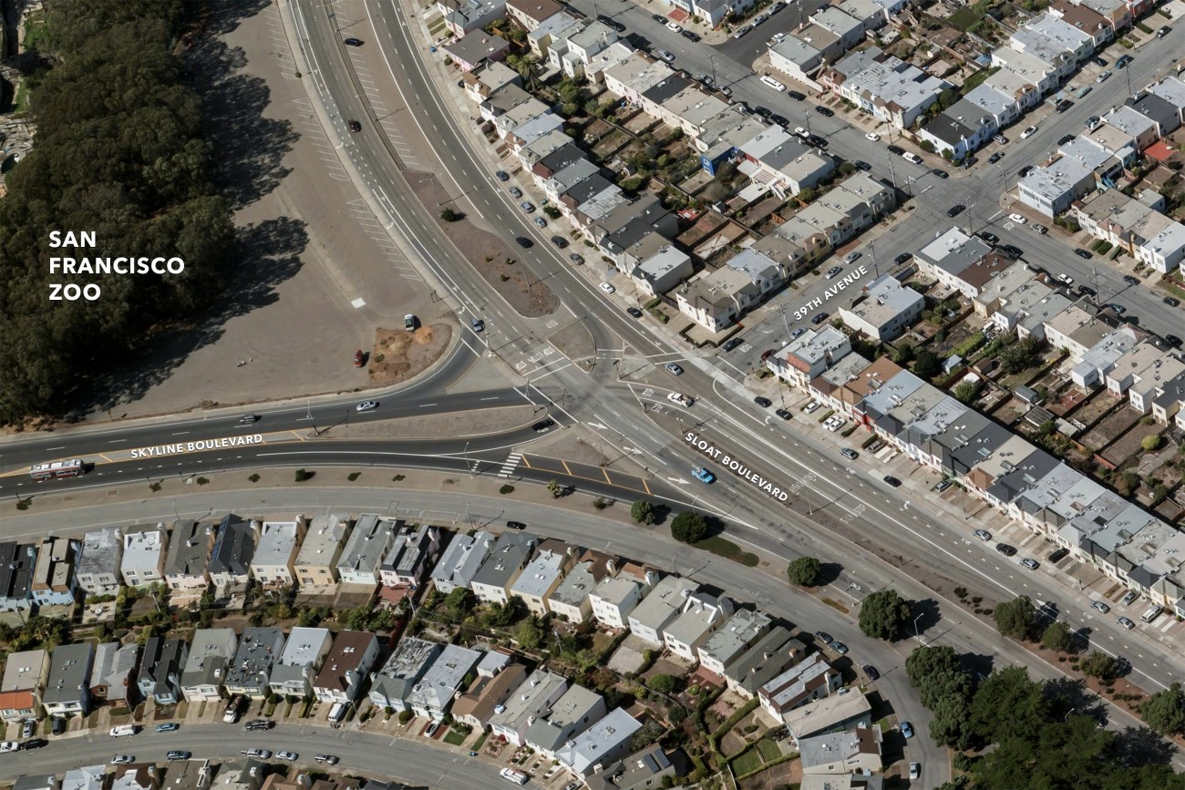
The SFMTA’s Sloat Skyline Intersection Alternatives Analysis looks to improve overall safety where Sloat Boulevard/HWY 35 intersects with Skyline Boulevard & 39th Avenue