Image
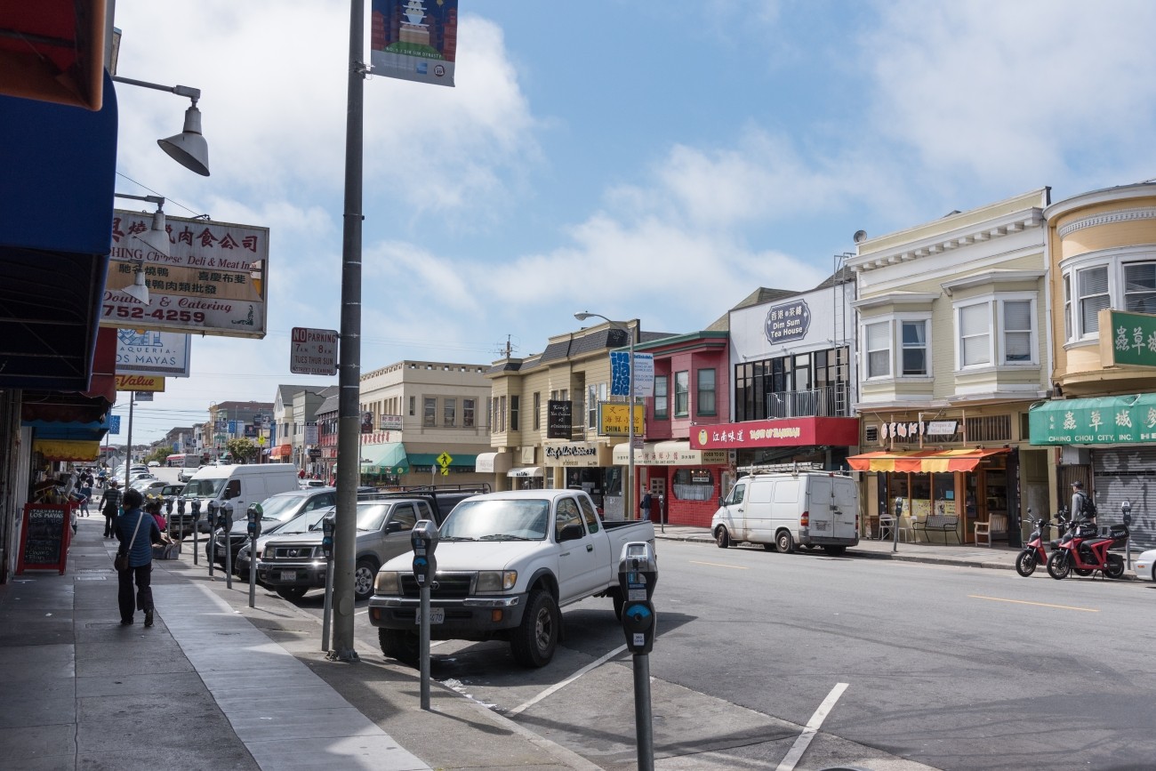
San Francisco Public Works is set to improve safety, walkability, and accessibility at the intersection of Clement Street and 6th Avenue in the heart of the Inner Richmond. This high-traffic location connects the community to local businesses, cafes, shops, schools, and community spaces like the Richmond Branch Library, George Peabody Elementary, and Roosevelt Middle School.
Image
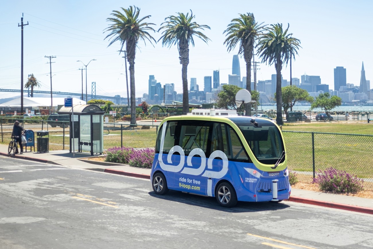
The Treasure Island Mobility Management Agency launched an autonomous shuttle service on Treasure Island from August to December 2023 to better understand how such a service could meet the needs of people traveling around the neighborhood.
Image
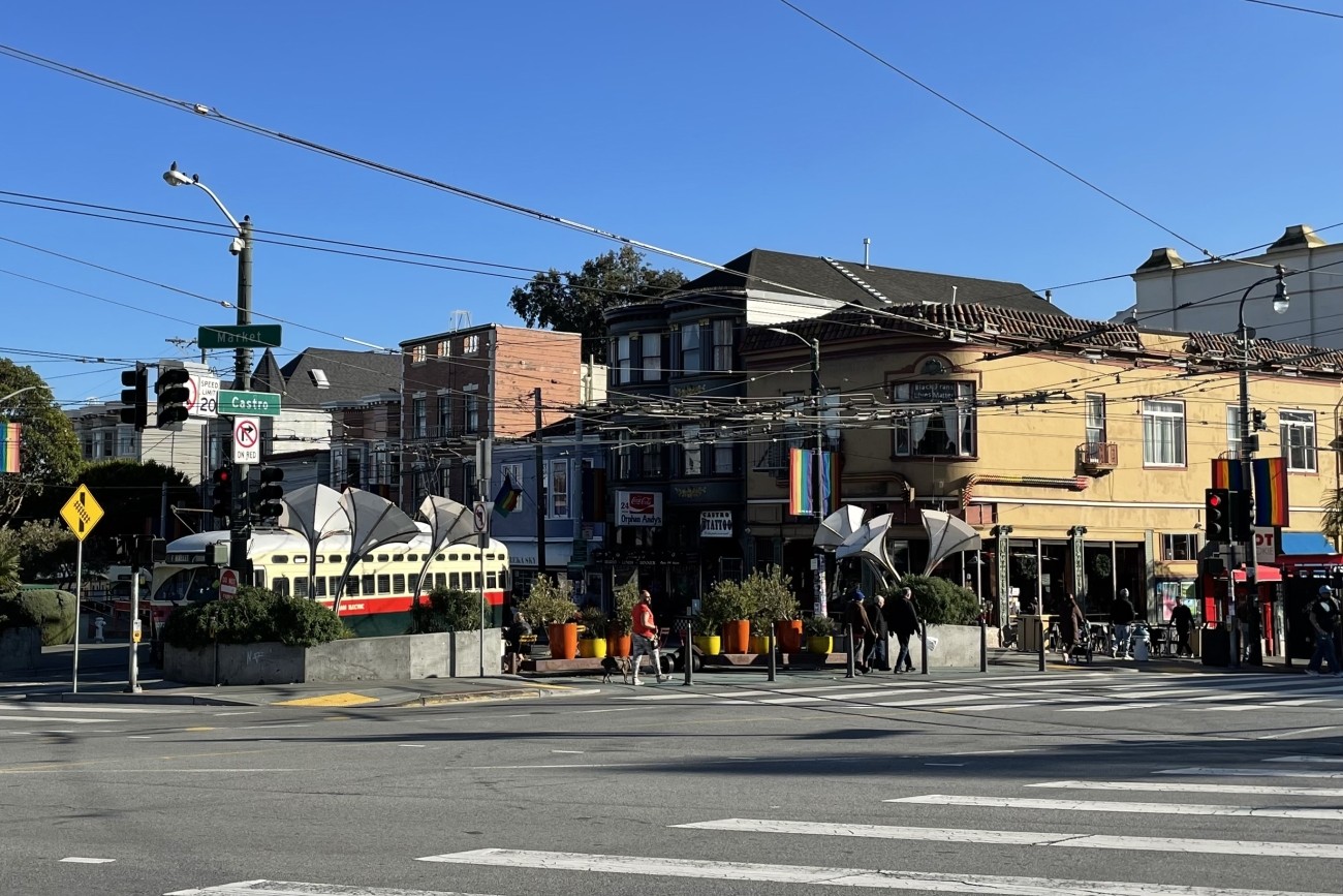
The Jane Warner Plaza Renovation Project will focus on improvements to pedestrian and bicycle safety in this busy multi-modal node.
Image
The Transportation Authority developed the Ocean Avenue Mobility Action Plan to prioritize and identify funding for transportation improvements for the Ocean Avenue corridor.
Image
The San Francisco County Transportation Authority has released its “Transportation Capital Projects Delivery Study,” commissioned by Chair Rafael Mandelman and prior Vice-Chair Aaron Peskin to examine ways to improve delivery of large scale, complex transportation projects in San Francisco.
Image
Upper Market has complex, 6-way intersections and is on San Francisco’s Vision Zero High-Injury Network. Through the Upper Market Street Safety Project, SFMTA will install sidewalk and roadway improvements to make Upper Market safer and more comfortable for people walking, biking, driving, and accessing transit.
Image
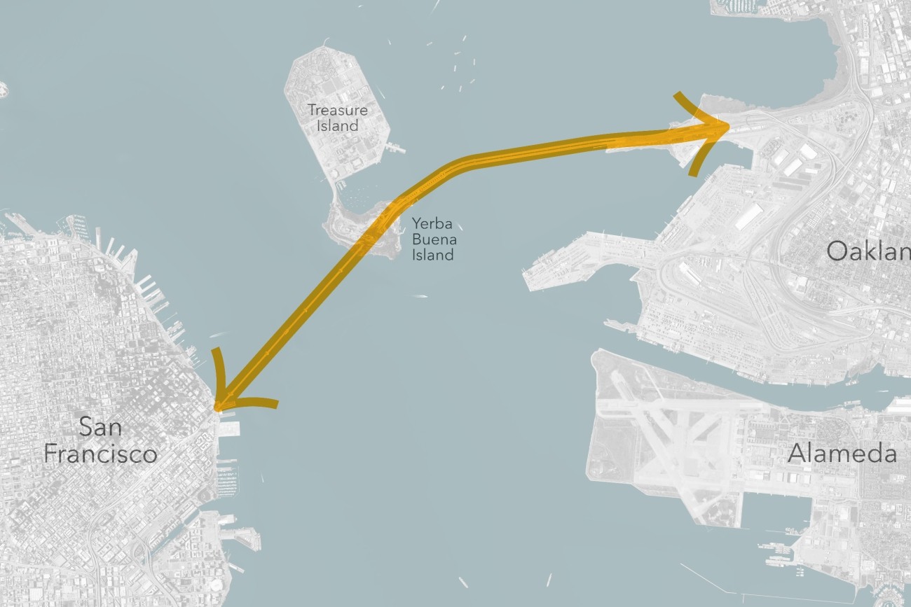
The Transbay Comprehensive Multimodal Corridor Plan Supplement presents a holistic approach for managing congestion, improving safety, and maximizing traffoc flow for all travel modes and incorporates measures to reduce air pollution and greenhouse gases.
Image
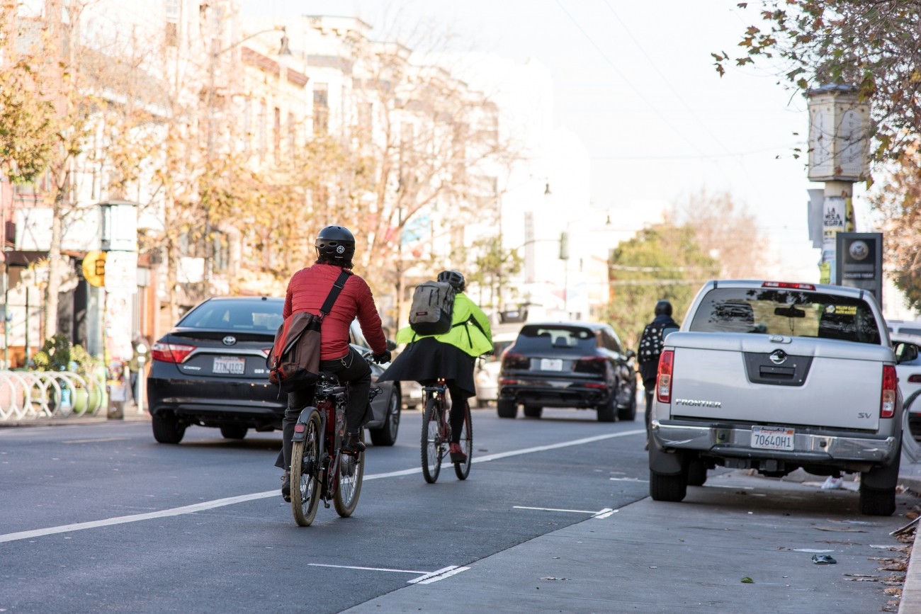
The SFMTA is working with the community to assess and recommend safety improvements for Valencia Street between Market and Mission streets.
Image
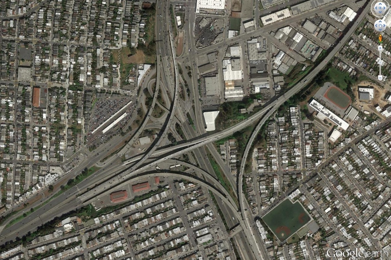
Finalized in April 2017, the Alemany Interchange Improvement Study outlined a list of safety and accessibility recommendations for the Alemany interchange.
Image
Plan Bay Area is a 25-year plan that establishes the nine-county Bay Area region’s vision for land use and transportation.
Image
This plan focused on strategies to improve pedestrian safety on two high pedestrian-injury corridors in Chinatown: Broadway Street between Van Ness and Columbus Avenues, and Kearny Street between Bush and Jackson Streets.
Image
This study focused on improving residents’ access to groceries, health appointments, after-school programs, and other important services.
Image
Congestion pricing would involve charging drivers a fee to drive in specific congested areas of downtown to keep traffic and transit moving.
Image
The goal of the Frederick and Clayton Traffic Calming Project is to increase visibility of pedestrians and improve pedestrian safety on Frederick and Clayton streets.
Image
This project will implement recommendations from the Visitacion Valley and Portola Community Based Transportation Plan. Specific improvements may include speed humps/cushions, lighting, crosswalk flashing beacons, new and/or raised crosswalks, pedestrian bulbouts, new bikeways, and Muni stop improvements. This project will focus specifically on improvements in Visitacion Valley.