Image
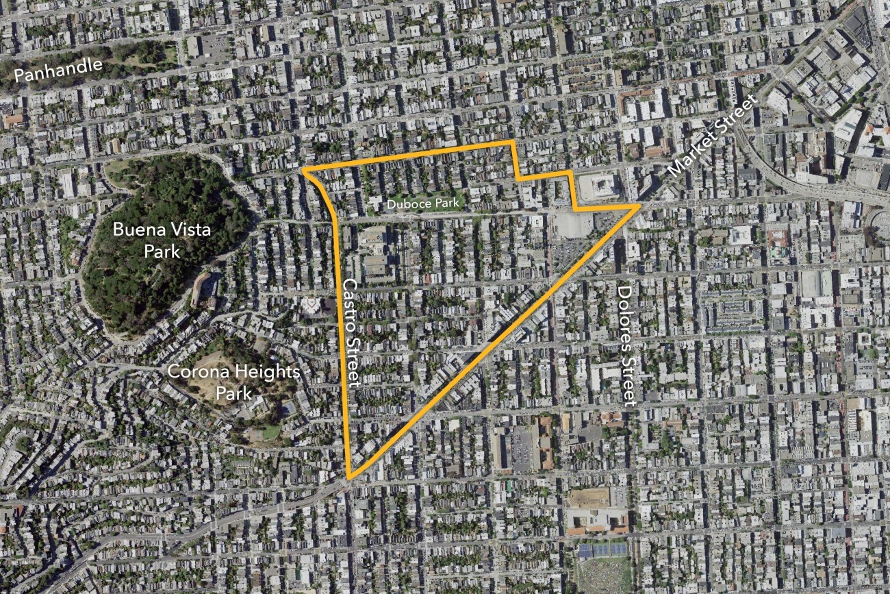
The Slow Duboce Triangle Study, also called Vision Slow Triangle or Duboce Triangle Vision 2030, was led by the Duboce Triangle Neighborhood Association and engaged the community in workshops to understand the visions for the future of the Duboce Triangle neighborhood.
Image
We continue to work with the governor’s office, and state and local representatives to identify solutions to congestion in the area.
Image
The SFMTA-led District 3 Pedestrian Safety Improvements project will focus on planning, design, and construction of pedestrian safety improvements on and near Kearny Street.
Image
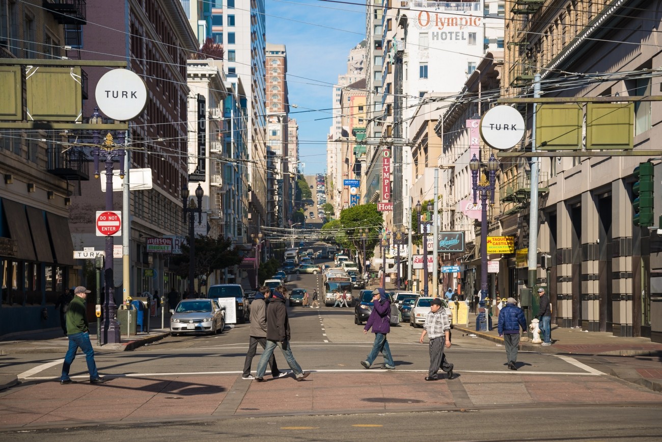
Vision Zero Proactive Traffic Calming is a program of the San Francisco Municipal Transportation Agency to improve safety on streets where pedestrian injuries to seniors and people with disabilities are concentrated and priority areas where seniors and people with disabilities live and travel.
Image
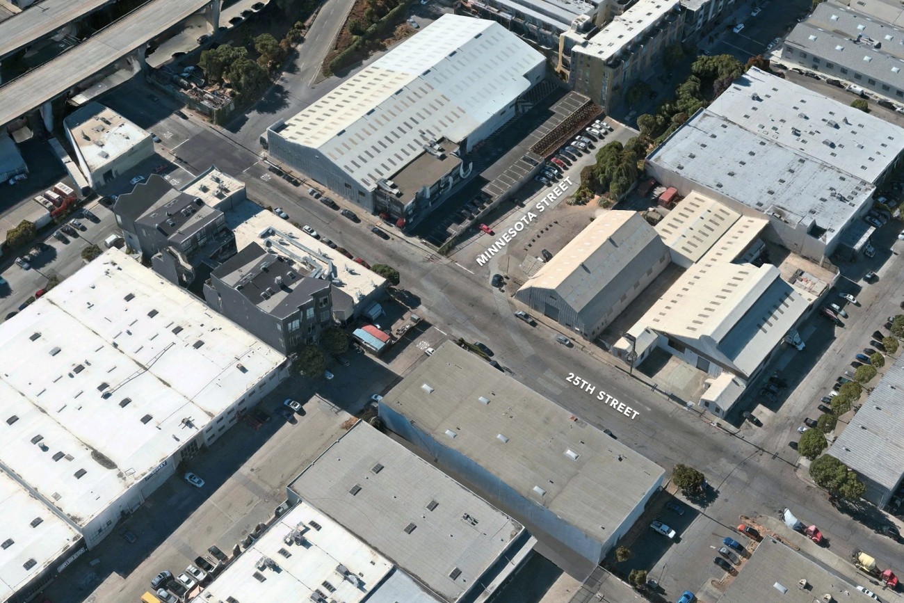
The main goal of the project is to provide a safer space for people to walk and cross the Minnesota and 25th St Intersection
Image
This project will implement a "road diet" on 14th Street between Castro Street and Sanchez Street to improve pedestrian safety and visibility.
Image
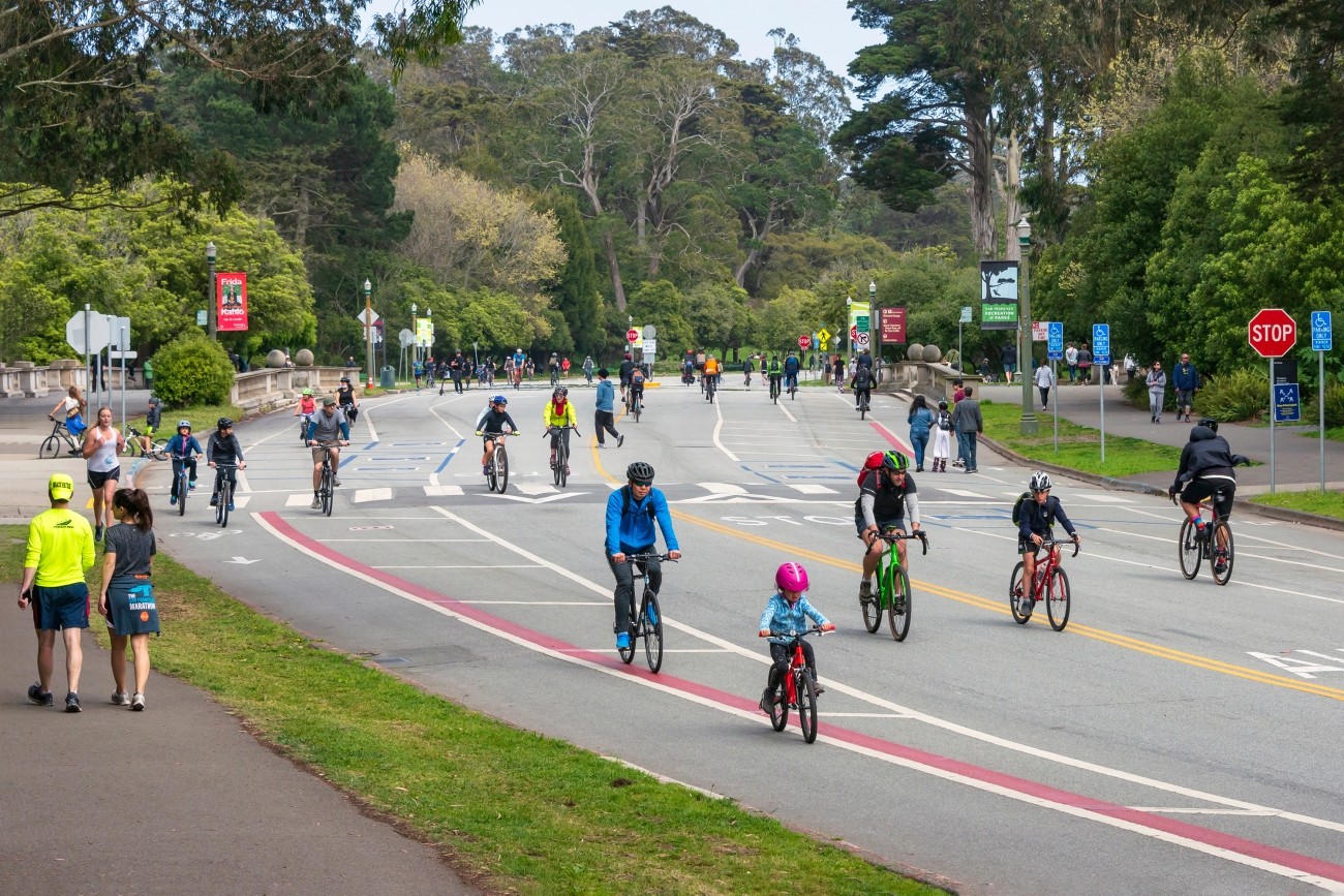
The Golden Gate Park Stakeholder Working Group developed a list of needs and an Action Framework that identifies key efforts to be carried forward into subsequent planning processes for Golden Gate Park and JFK Drive.
Image
The Western Addition Community-Based Transportation Plan brought local residents, community organizations and transportation agencies together to address the neighborhood’s transportation challenges.
Image
Building on past neighborhood-wide efforts, the Tenderloin Traffic Safety Improvements project will reduce the speed limits of many streets from 25 to 20 miles per hour and restrict turns on red at 54 intersections.
Image
The District 10 15 Third Street Bus Study evaluated re-establishing the 15 Third Street Muni bus route. Residents and community members in Dogpatch, Bayview, and Hunter’s Point have raised concerns about delays and reliability of T Third light rail service on Third Street and expressed a desire to return bus service to the corridor. SFMTA is currently operating a new 15 Third Express route as identified by this study.
Image
The objective of the Columbus Avenue Neighborhood Transportation Study was to identify changes to transportation infrastructure and policies that could enhance the livability and economic viability of the Columbus Avenue corridor.
Image
This study identifies a set of non-infrastructure strategies to reduce vehicle miles of travel in the district through partnerships between community organizations, developers, and emerging mobility service providers.
Image
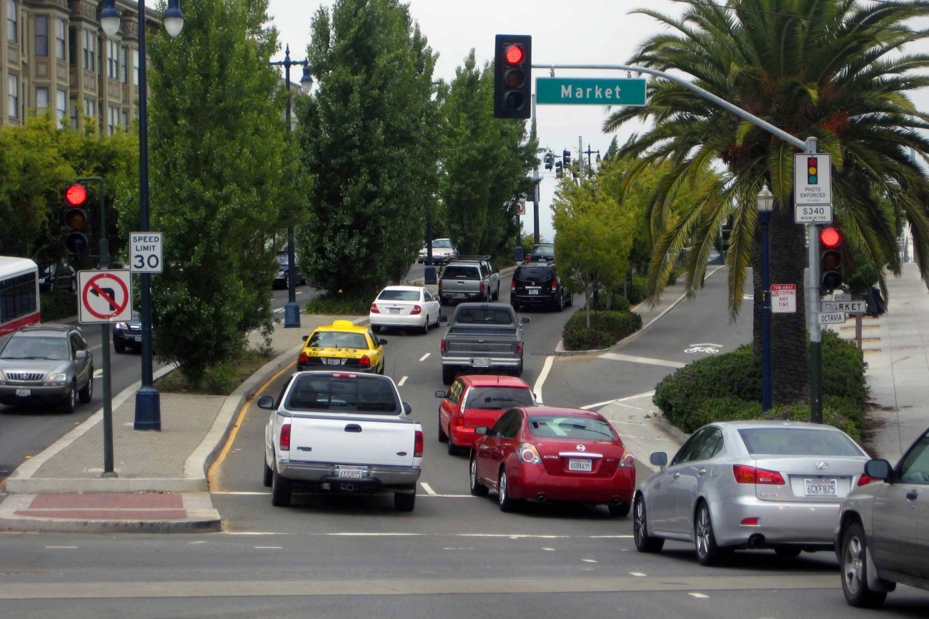
This 2012 study evaluated the performance of the transportation system in the Market-Octavia area and recommend changes for improving travel options and traffic management in the area.
Image
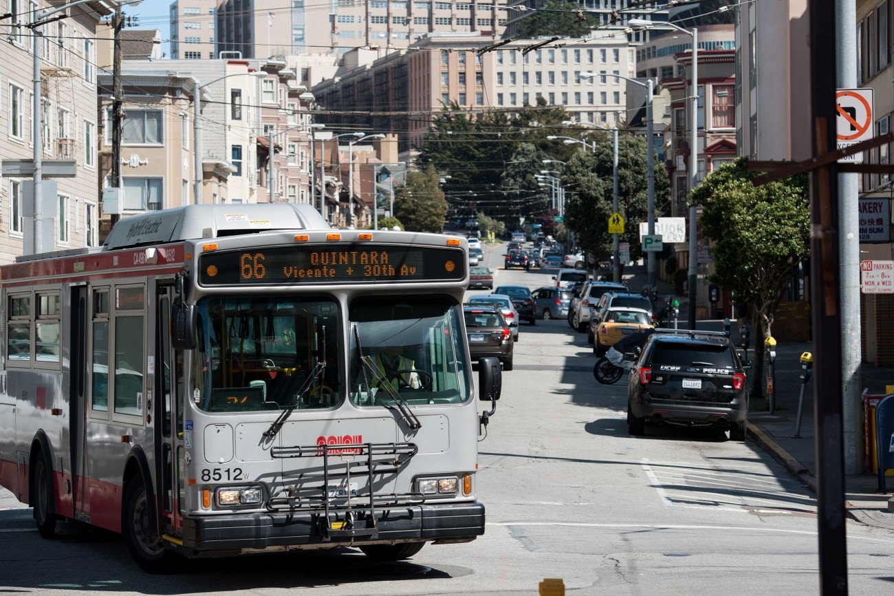
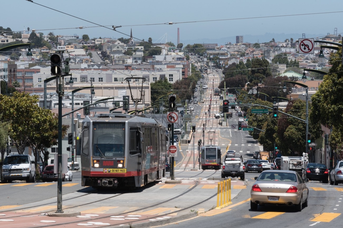
The 66-Quintara Reconfiguration Study identified ways to meet the San Francisco West Side neighborhoods’ transit access and connectivity needs.
Image
This project will design and construct traffic calming measures along the Folsom Street and Crescent Avenue corridors in District 9.