Image
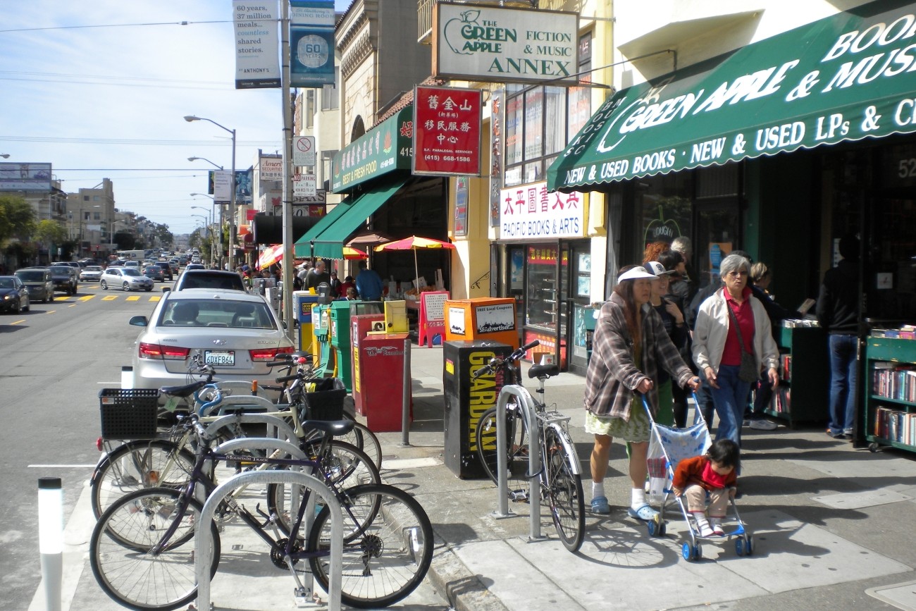
This study identified a prioritized short list of recommendations to improve multimodal traffic safety and access in the Inner Sunset commercial core area in District 7.
Image
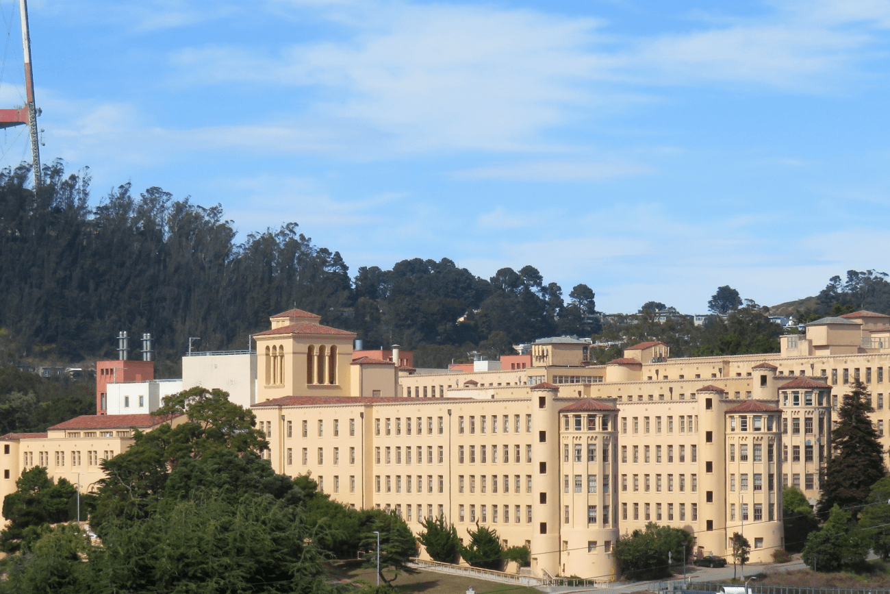
The purpose of the Laguna Honda Gondola Study is to assess the feasibility of a gondola system to provide vertical access for visitors arriving by transit at the Forest Hills Muni station to the nearby Laguna Honda Hospital site, which is being planned for residential development and located atop a steep hill.
Image

The study will develop a more complete understanding of how freight activity impacts the neighborhood and identify strategies to reduce conflicts between large trucks and other road users.
Image
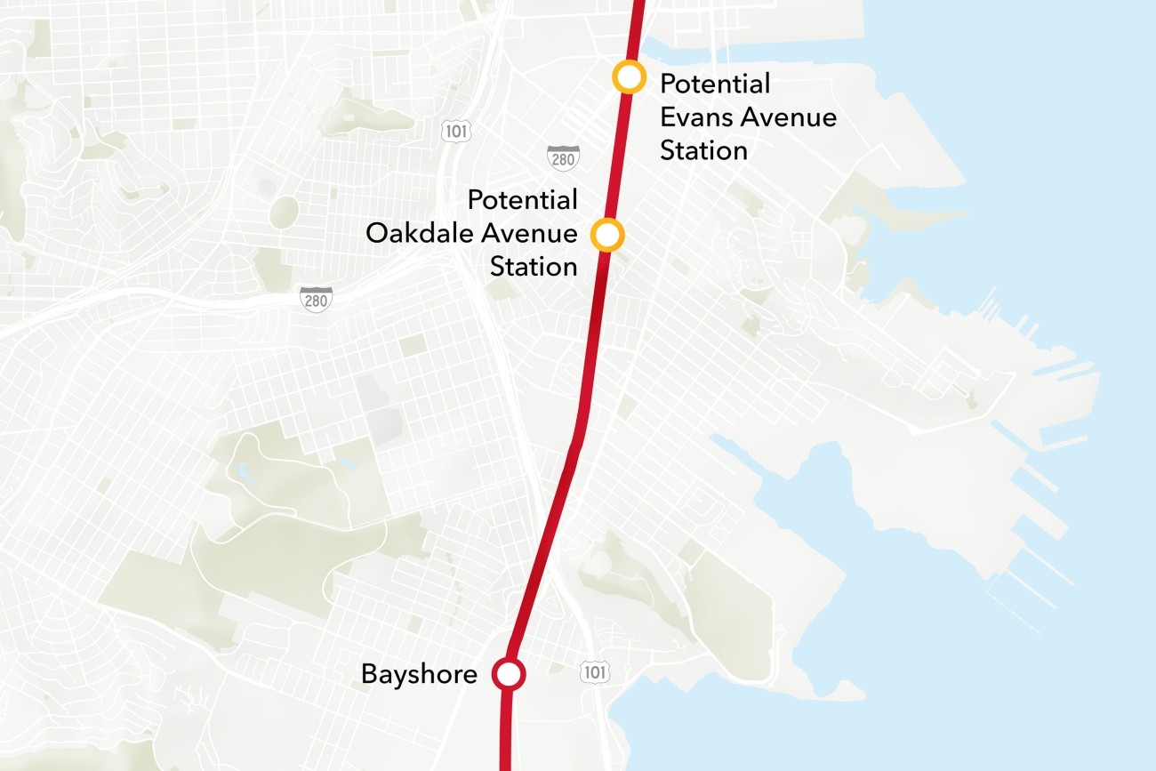
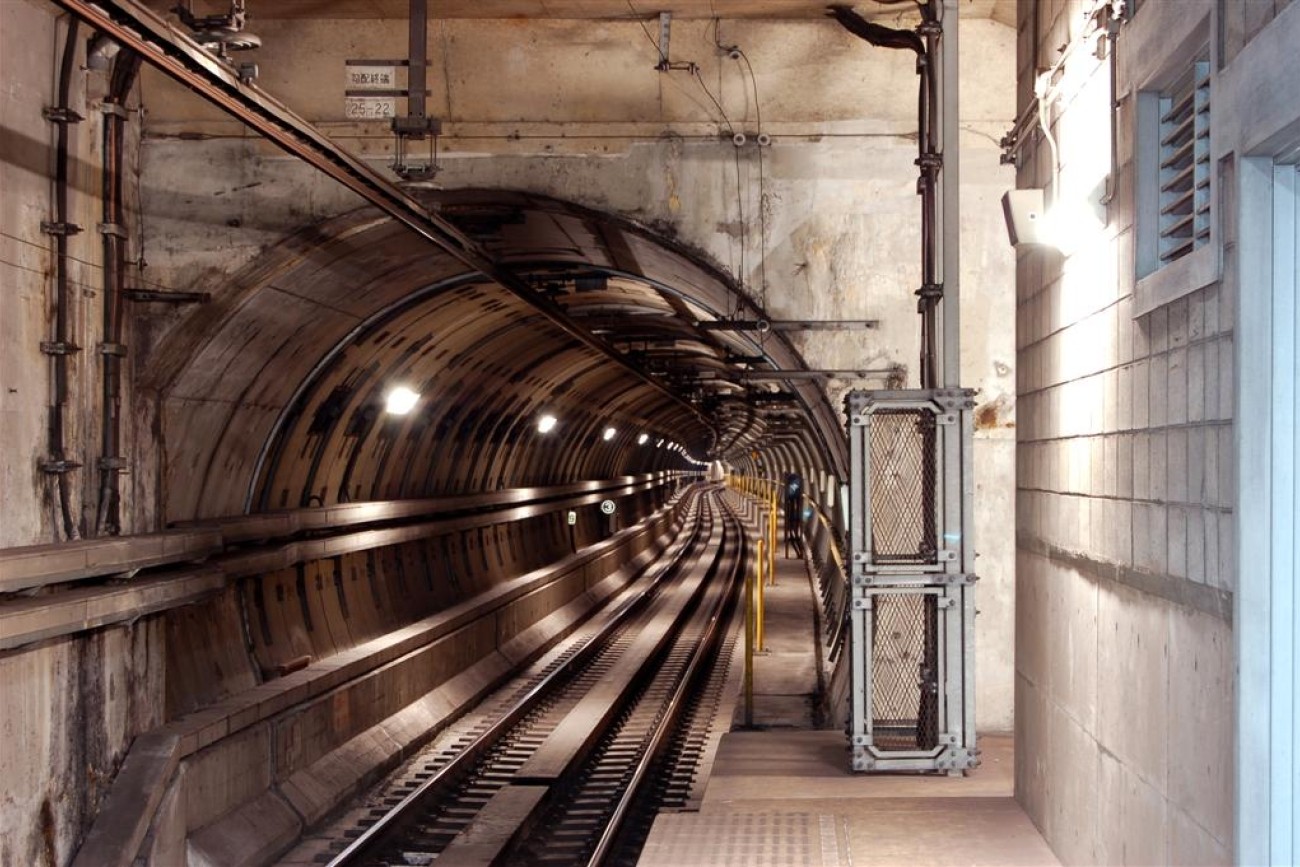
The Bayview Caltrain Station Location Study will recommend the selection of a single new Caltrain station location in the Bayview, prepare the station for environmental approval, and would restore access to Caltrain and the regional transit network to the Bayview community.
Image
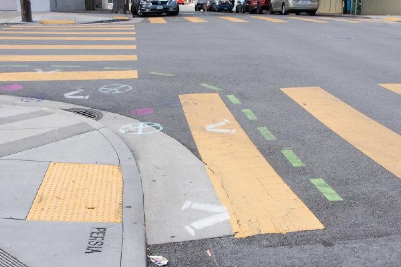
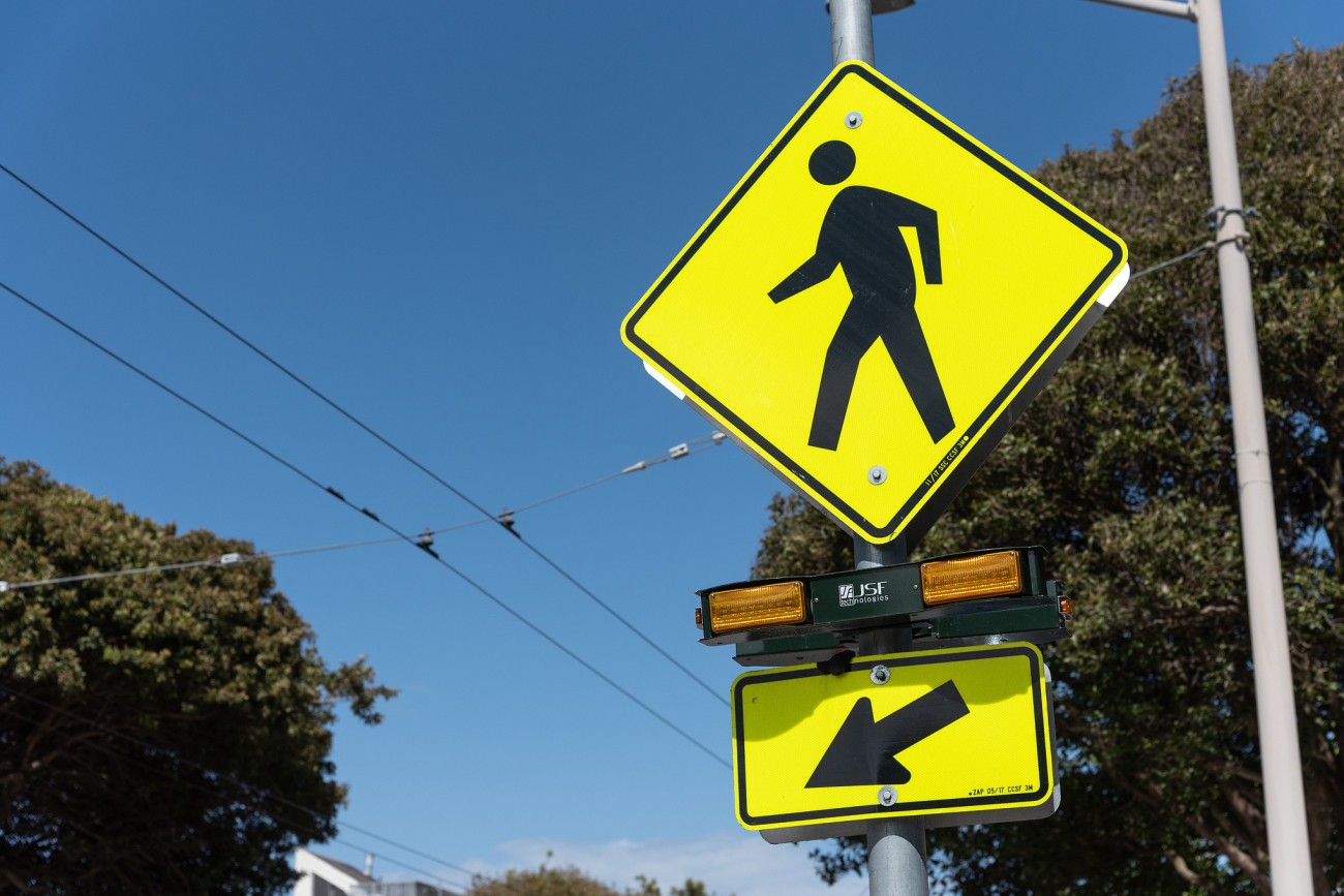
The District 1 Fulton Street Safety Improvements project will plan, design, and construct pedestrian safety improvements at three intersections on Fulton Street.
Image
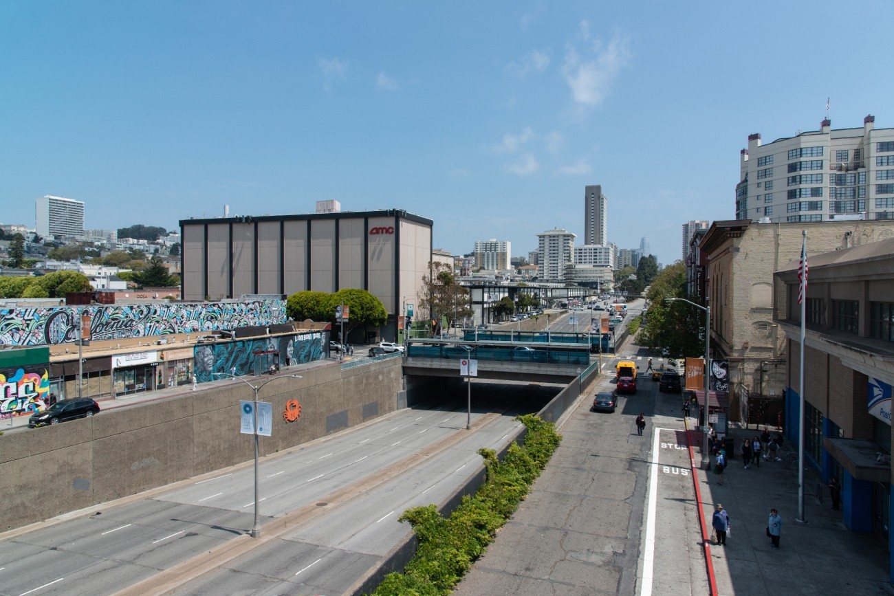
The project will develop transportation and land use concept designs that rethink the urban renewal-era Geary Expressway and advance a high-quality multimodal, mixed-use transit-oriented area to connect the Japantown and Fillmore/Western Addition neighborhoods and promote community livability.
Image
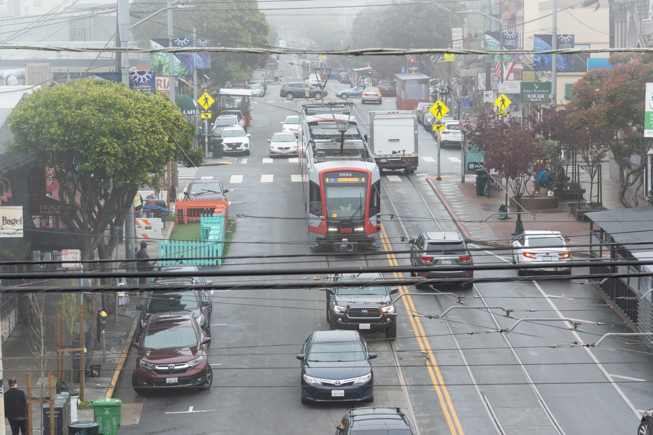
The District 1 Multimodal Transportation Study will engage the community to identify known mobility challenges and develop near- to long-term strategies to improve transit reliability and safety and shift trips to transit, walking, biking, or other non-driving options.
Image
The District 11 Traffic Calming and Sideshow Deterrence project will plan, design and construct traffic calming and sideshow deterrence measures at various District 11 locations.
Image
The SFMTA is implementing quick and effective traffic calming measures at locations in District 11.
Image
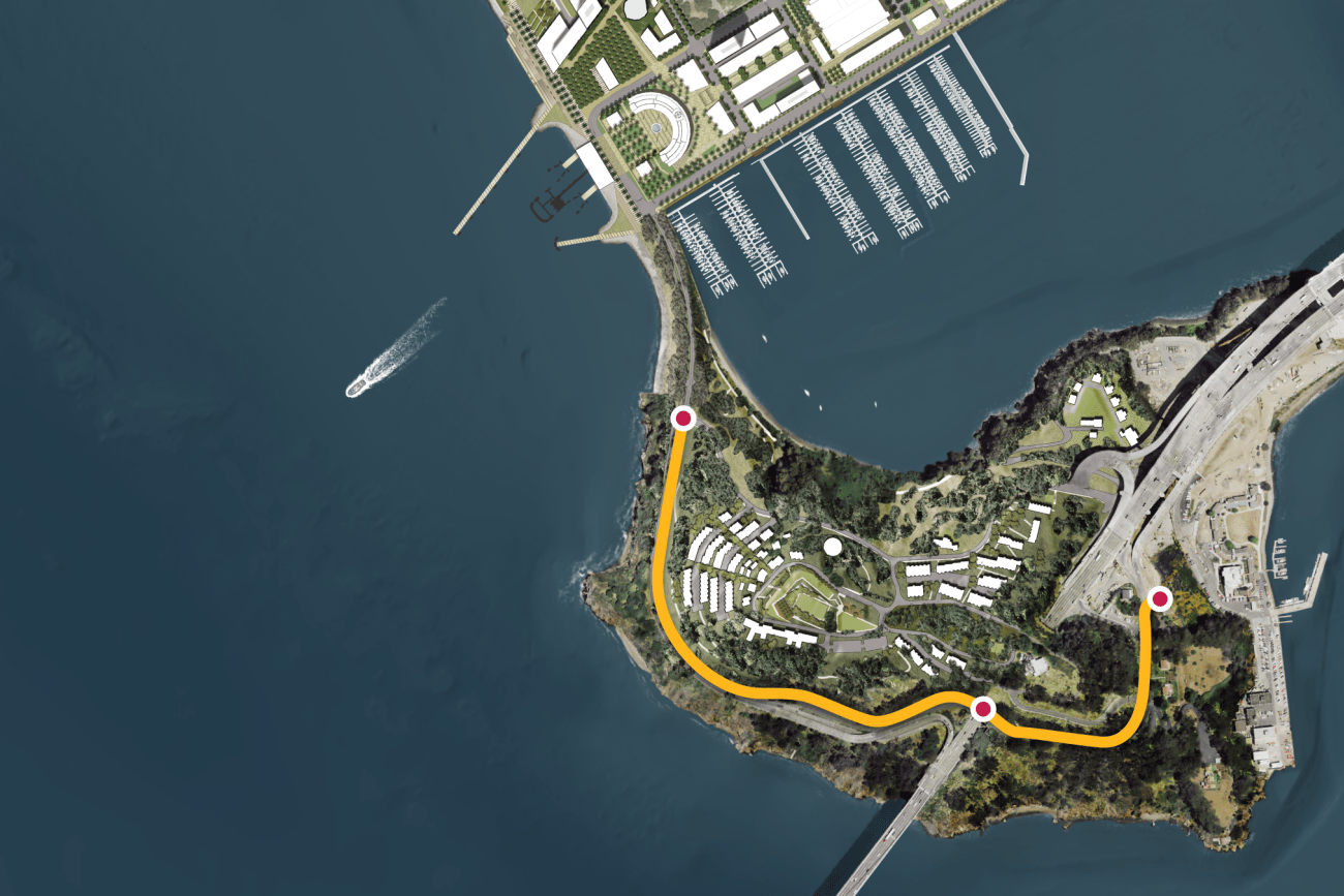
This project will provide protected bicycle and pedestrian pathways that run along Hillcrest Road and Treasure Island Road.
Image
The District 2 Turk Boulevard Pedestrian Safety project will plan, design, and construct of pedestrian safety improvements on Turk Boulevard between Masonic Avenue and Divisadero Street.
Image
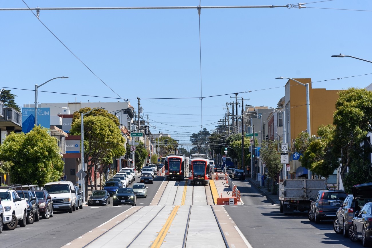
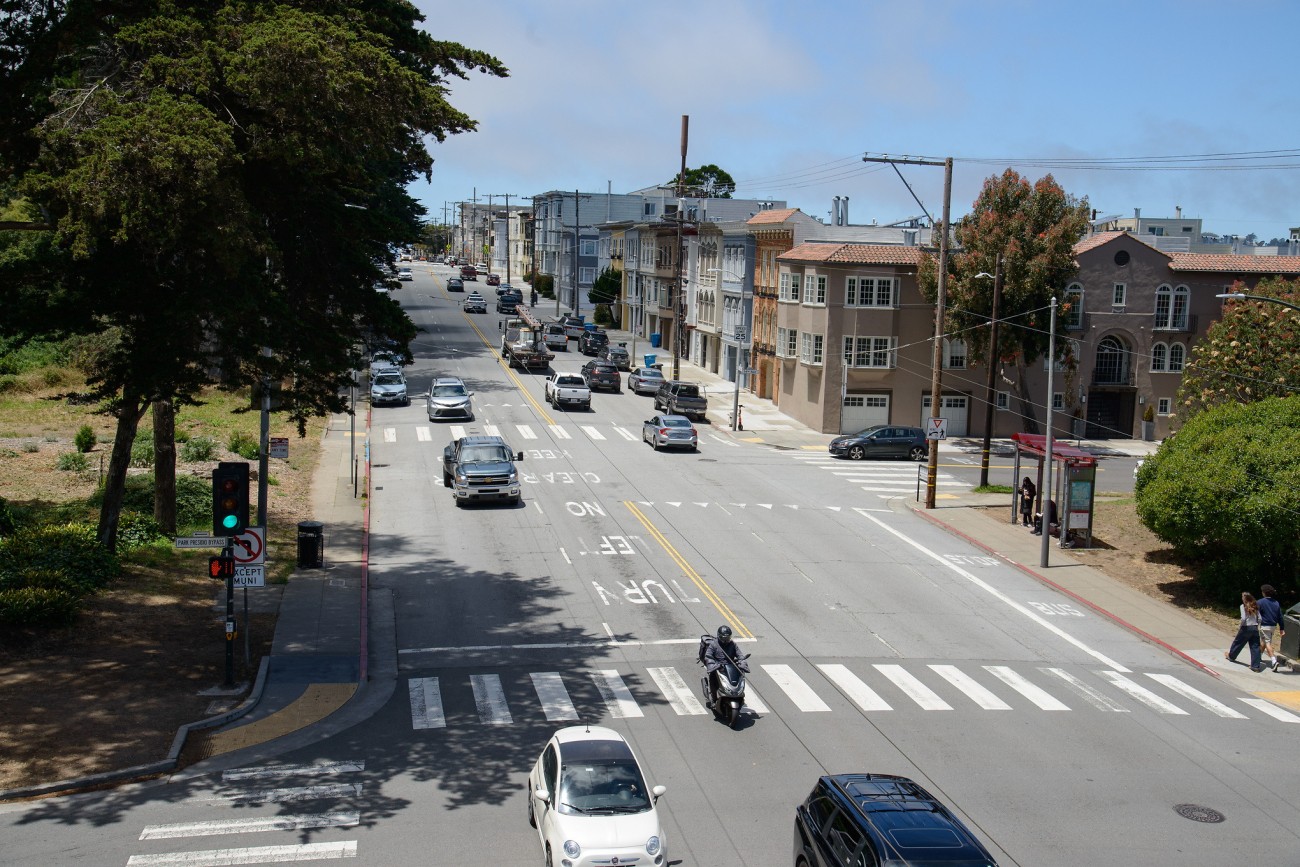
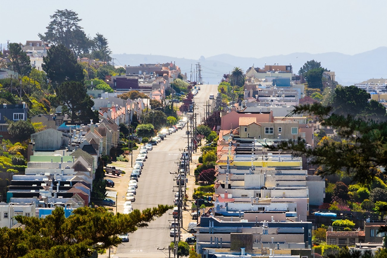
The Westside Network Study will analyze the multimodal westside transportation network and offer recommendations to ensure the network is meeting local needs now and into the future.
Image
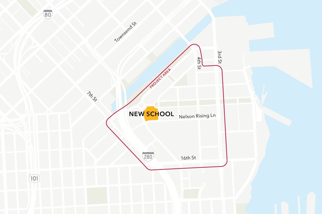
This project will analyze connectivity between a new public school site in the Mission Bay neighborhood, the existing low-stress active transportation network, and existing and planned transit. The project will then design infrastructure improvements to mitigate key barriers to active transportation. The project will also coordinate expected transportation programs and improvements from projects in the area to ensure school access is supported.
Image
The study will focus on the first phase of planning and development.
Image
Updated every four years, the San Francisco Transportation Plan is the blueprint for the city's transportation system development and investment over the next 30 years.