Image
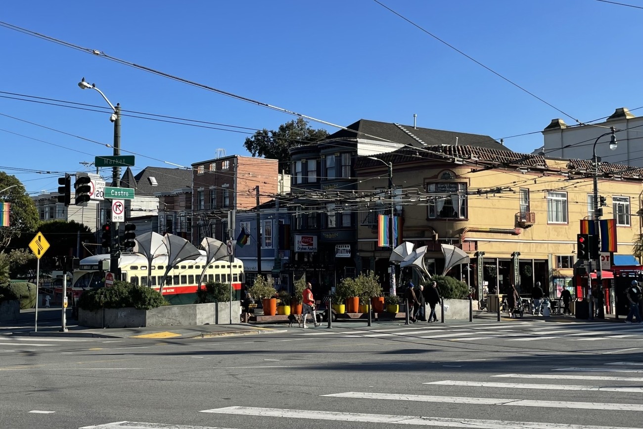
The Jane Warner Plaza Renovation Project will focus on improvements to pedestrian and bicycle safety in this busy multi-modal node.
Image
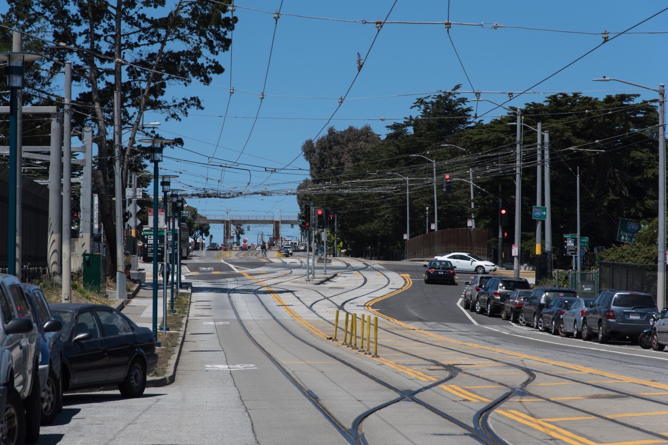
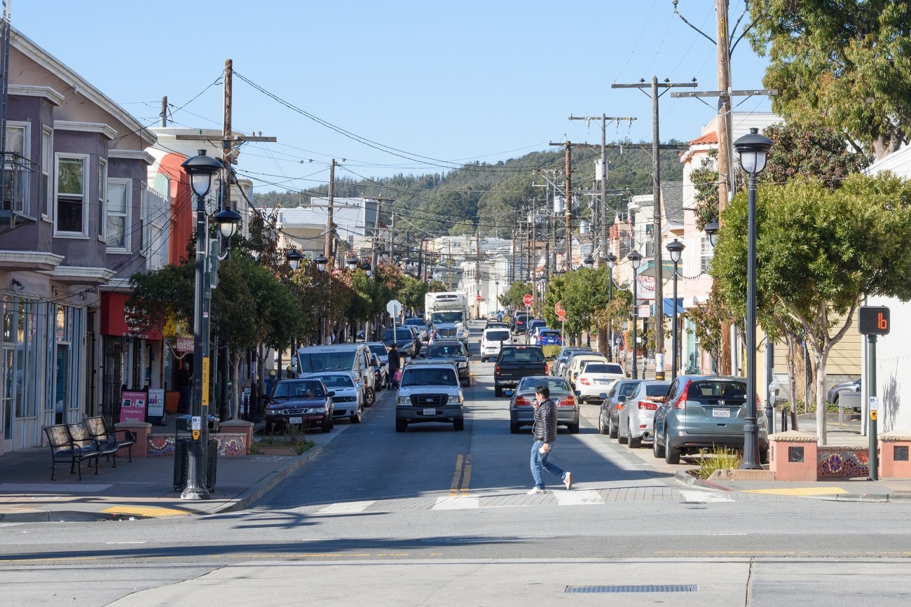
The Transportation Authority developed the Ocean Avenue Mobility Action Plan to prioritize and identify funding for transportation improvements for the Ocean Avenue corridor.
Image
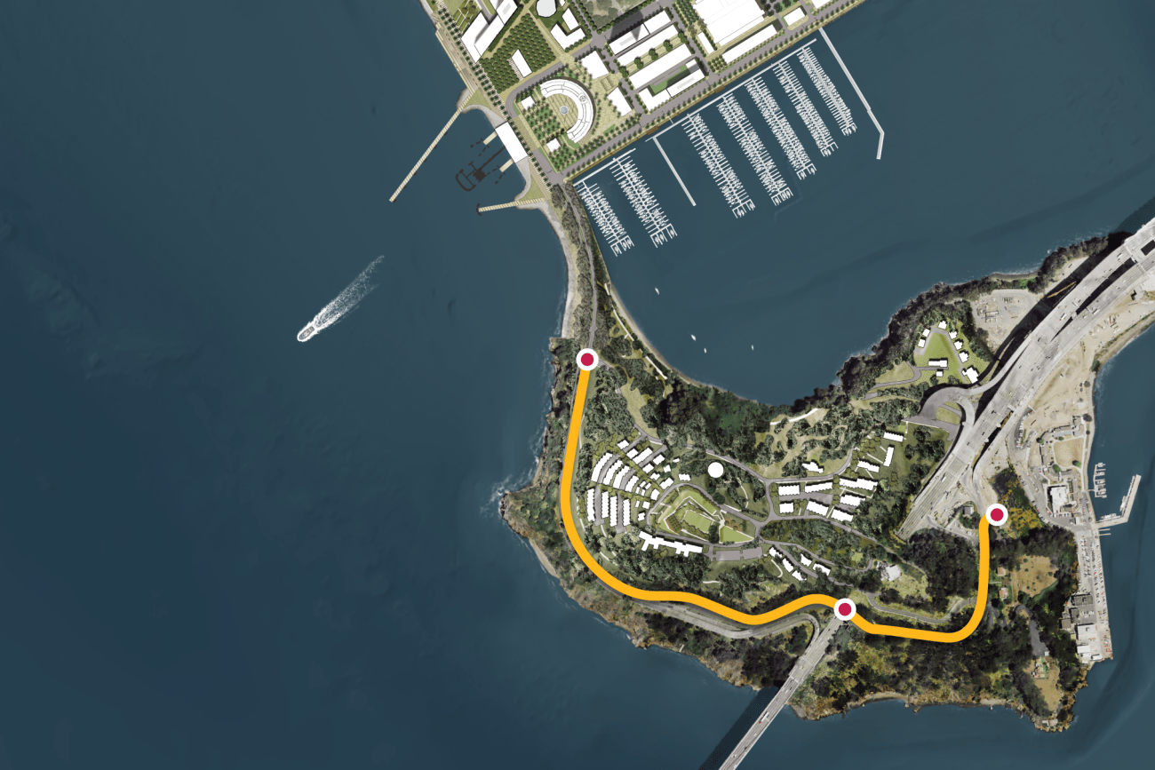
This project will provide protected bicycle and pedestrian pathways that run along Hillcrest Road and Treasure Island Road.
Image
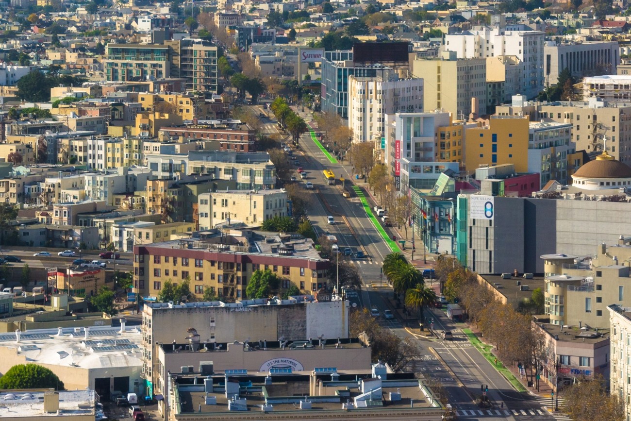
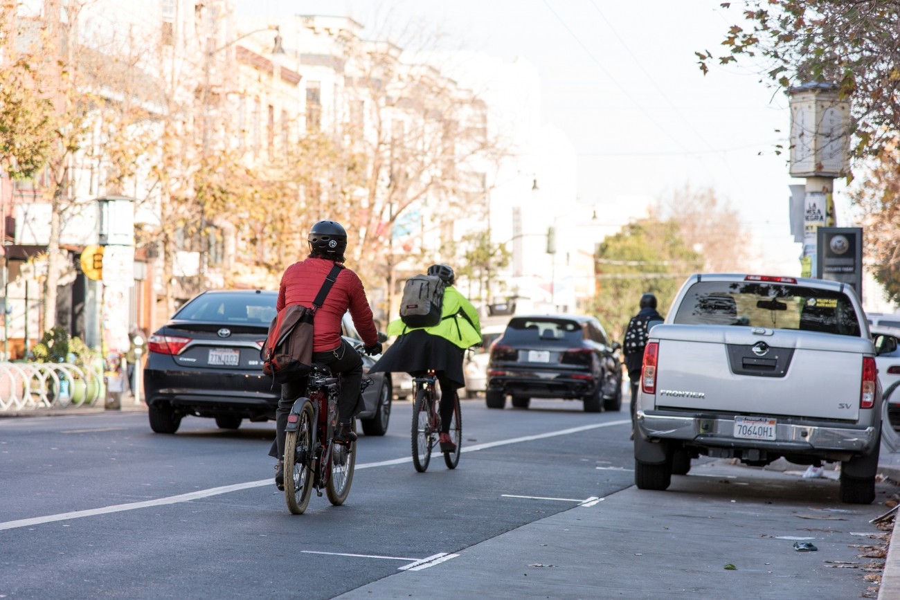
Upper Market has complex, 6-way intersections and is on San Francisco’s Vision Zero High-Injury Network. Through the Upper Market Street Safety Project, SFMTA will install sidewalk and roadway improvements to make Upper Market safer and more comfortable for people walking, biking, driving, and accessing transit.
Image
The SFMTA is working with the community to assess and recommend safety improvements for Valencia Street between Market and Mission streets.
Image
Plan Bay Area is a 25-year plan that establishes the nine-county Bay Area region’s vision for land use and transportation.
Image
Congestion pricing would involve charging drivers a fee to drive in specific congested areas of downtown to keep traffic and transit moving.
Image
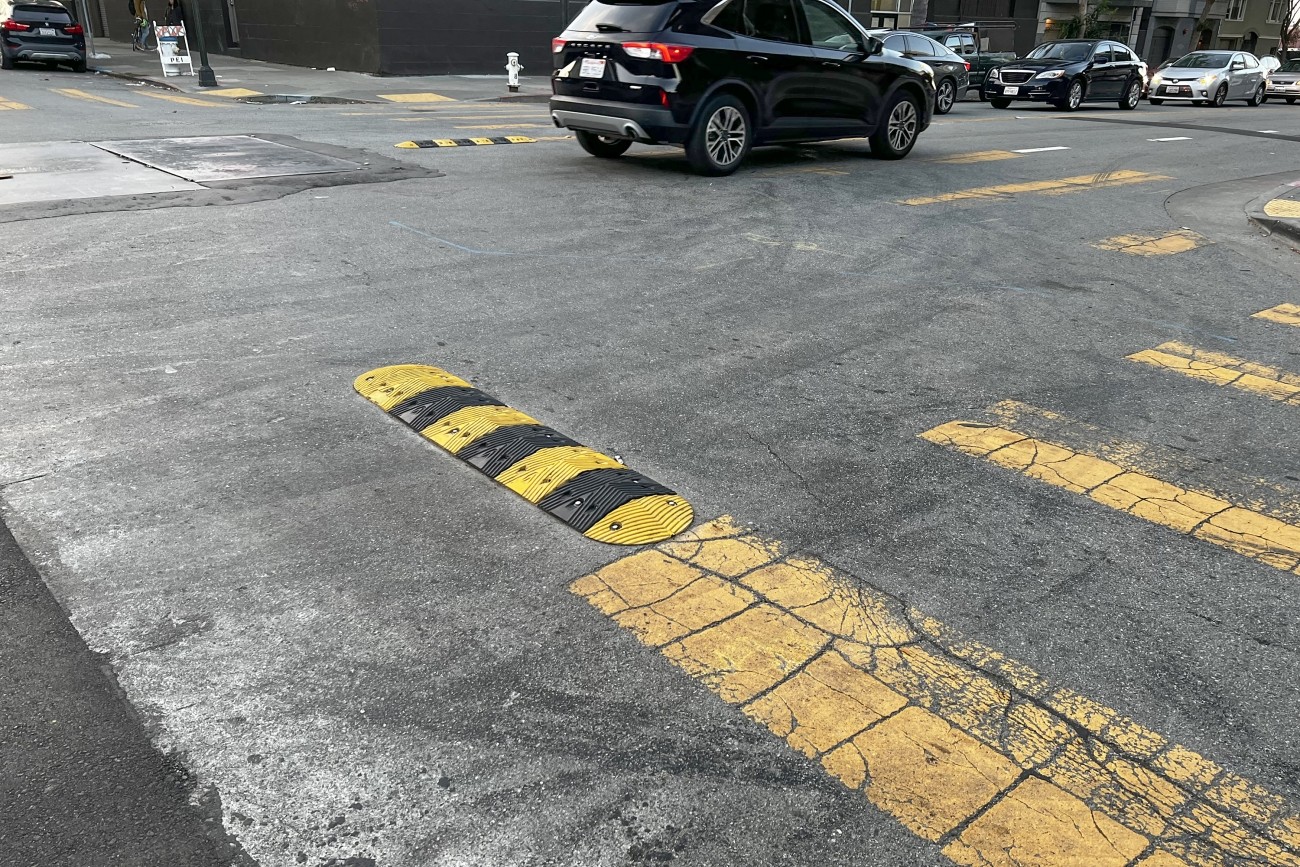
The goal of the Frederick and Clayton Traffic Calming Project is to increase visibility of pedestrians and improve pedestrian safety on Frederick and Clayton streets.
Image
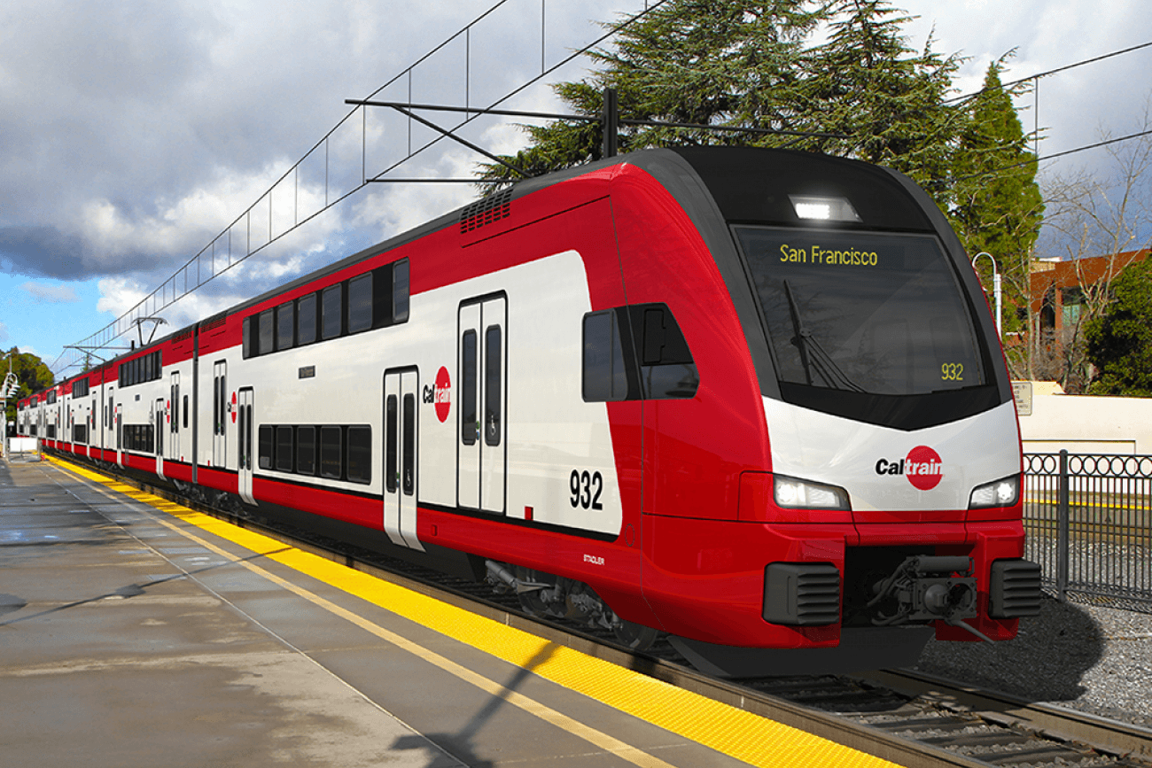
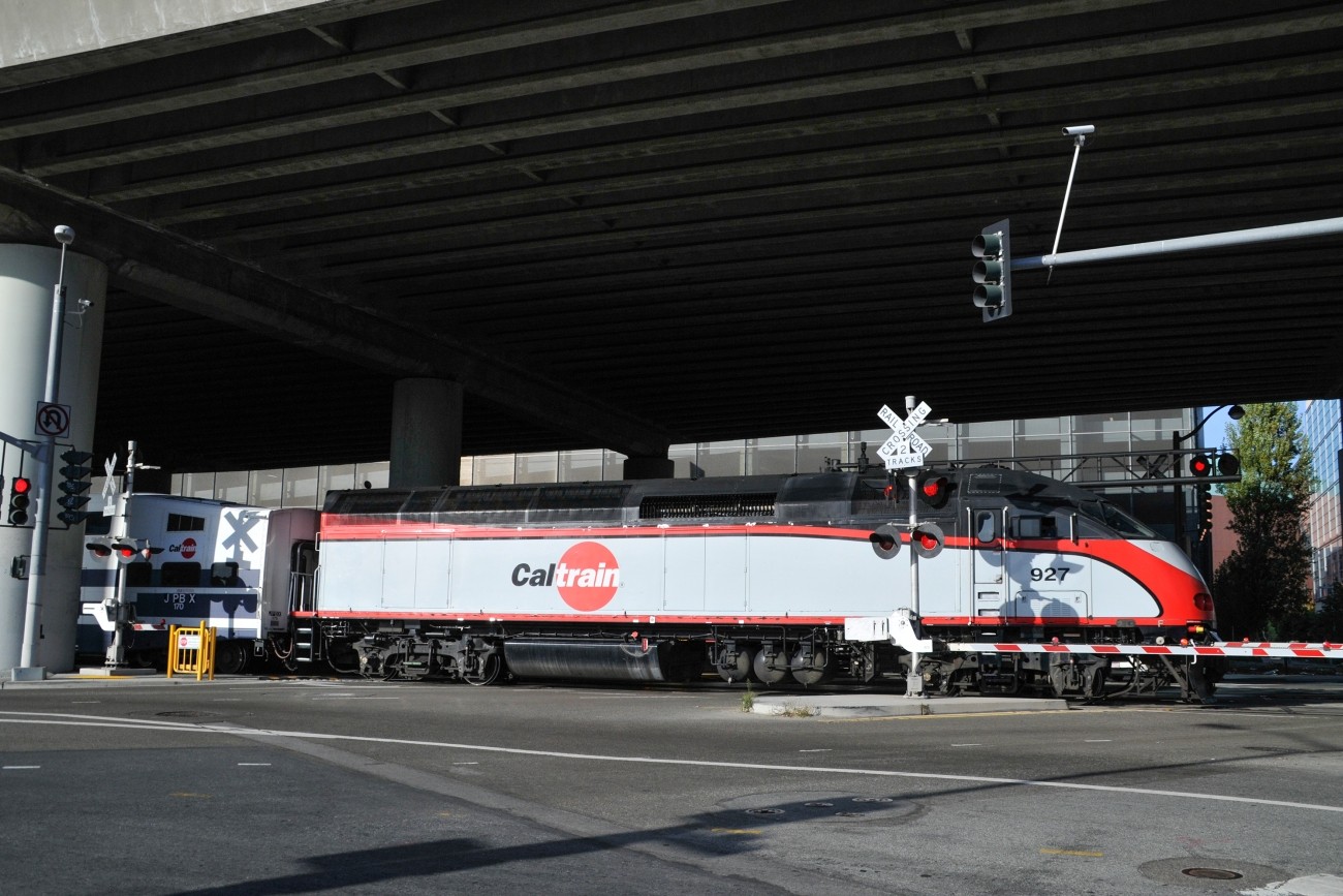
The Caltrain Electrification project will bring fully electrified service to Caltrain.
Image
This project will implement recommendations from the Visitacion Valley and Portola Community Based Transportation Plan. Specific improvements may include speed humps/cushions, lighting, crosswalk flashing beacons, new and/or raised crosswalks, pedestrian bulbouts, new bikeways, and Muni stop improvements. This project will focus specifically on improvements in Visitacion Valley.
Image
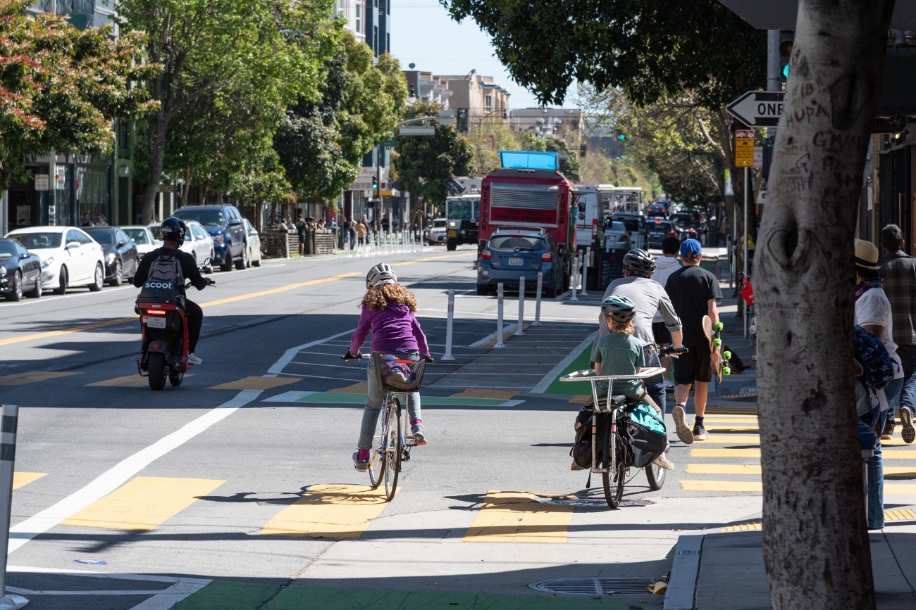
The Valencia Long-Term Bikeway Study will identify long-term concepts for safety and streetscape improvements on the Valencia Street corridor between Market Street and Cesar Chavez. The project will combine technical analysis, stakeholder input, and concept design for pilot block tests to study several community-generated concepts, including a curbside two-way protected bikeway, a pedestrianized Valencia Street, or that may result in converting the corridor to a one-way street or restricting through-traffic on the corridor.
Image
The District 6 Traffic Calming and Sideshow Deterrence project will design and install traffic calming devices and sideshow deterrence measures to improve safety at eleven locations in District 6 identified by the Commissioner's office and its constituents.
Image
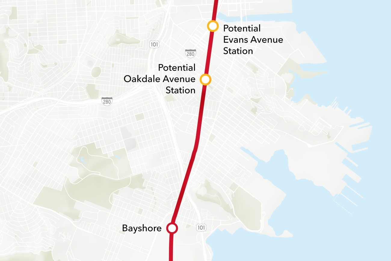
The Bayview Caltrain Station Location Study will recommend the selection of a single new Caltrain station location in the Bayview, prepare the station for environmental approval, and would restore access to Caltrain and the regional transit network to the Bayview community.
Image
The Pennsylvania Avenue Extension project will support future uninterrupted passenger rail service through San Francisco.
Image
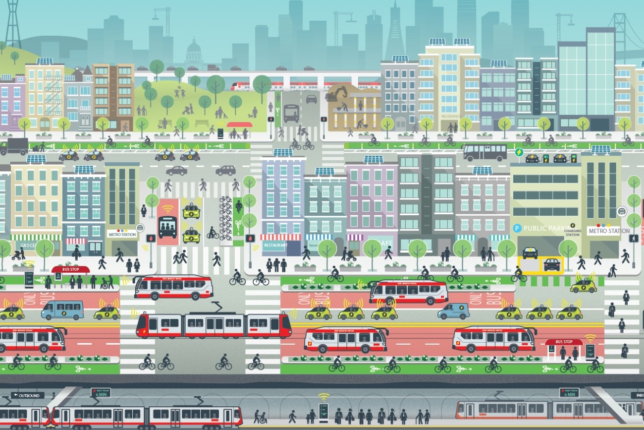
ConnectSF is a multi-agency collaborative process to build an effective, equitable, and sustainable transportation system for San Francisco’s future.