Image
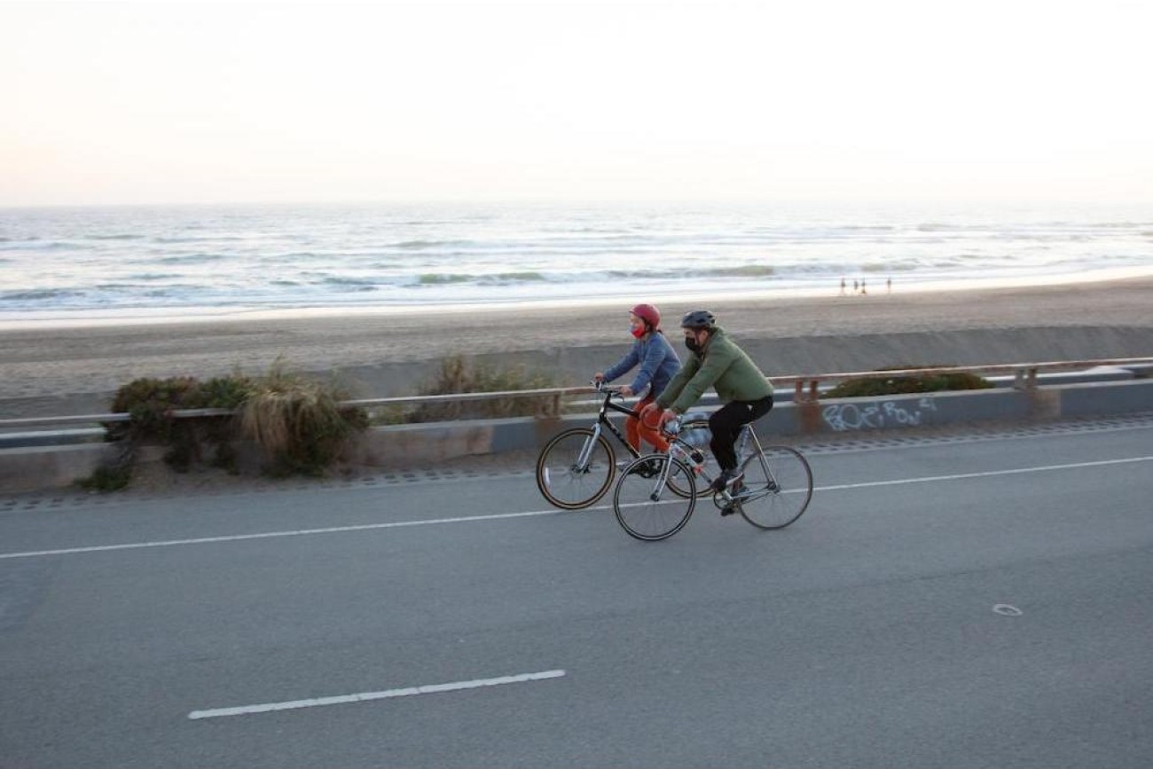
This planning study will focus on improving safety, accessibility, and overall experience at key intersections along Lincoln Way, next to Ocean Beach, including Lower and Upper Great Highway, La Playa Street, and Martin Luther King Jr. Drive. The project will explore ways to enhance connections for people walking, biking, and driving, with place-making features to create a more welcoming and enjoyable environment for everyone.
Image
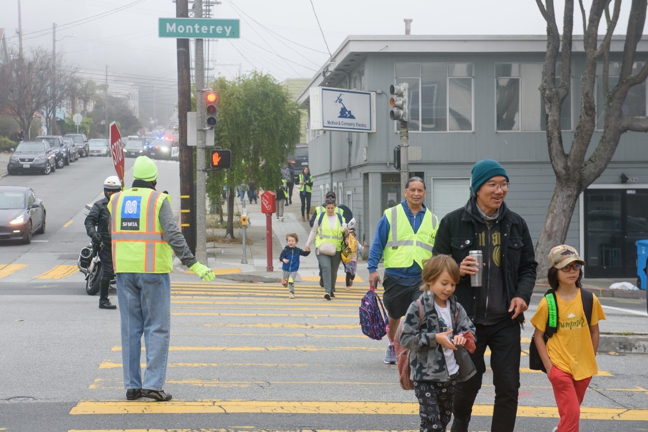
The Monterey Boulevard Pedestrian Safety Improvement Project is located along Monterey Boulevard between Acadia Street and San Anselmo Avenue. The Project encompasses the Vision Zero High Injury corridor on Monterey Blvd between Baden and Edna. Monterey is the main arterial street between San Jose Ave/I-280 and Portola Dr/Junipero Serra Blvd/19th Ave. This project aims to address pedestrian safety concerns through roadway paint refreshes, quick build treatments, and minor infrastructure changes to prioritize pedestrians and improve overall travel on the project corridor.
Image
Image
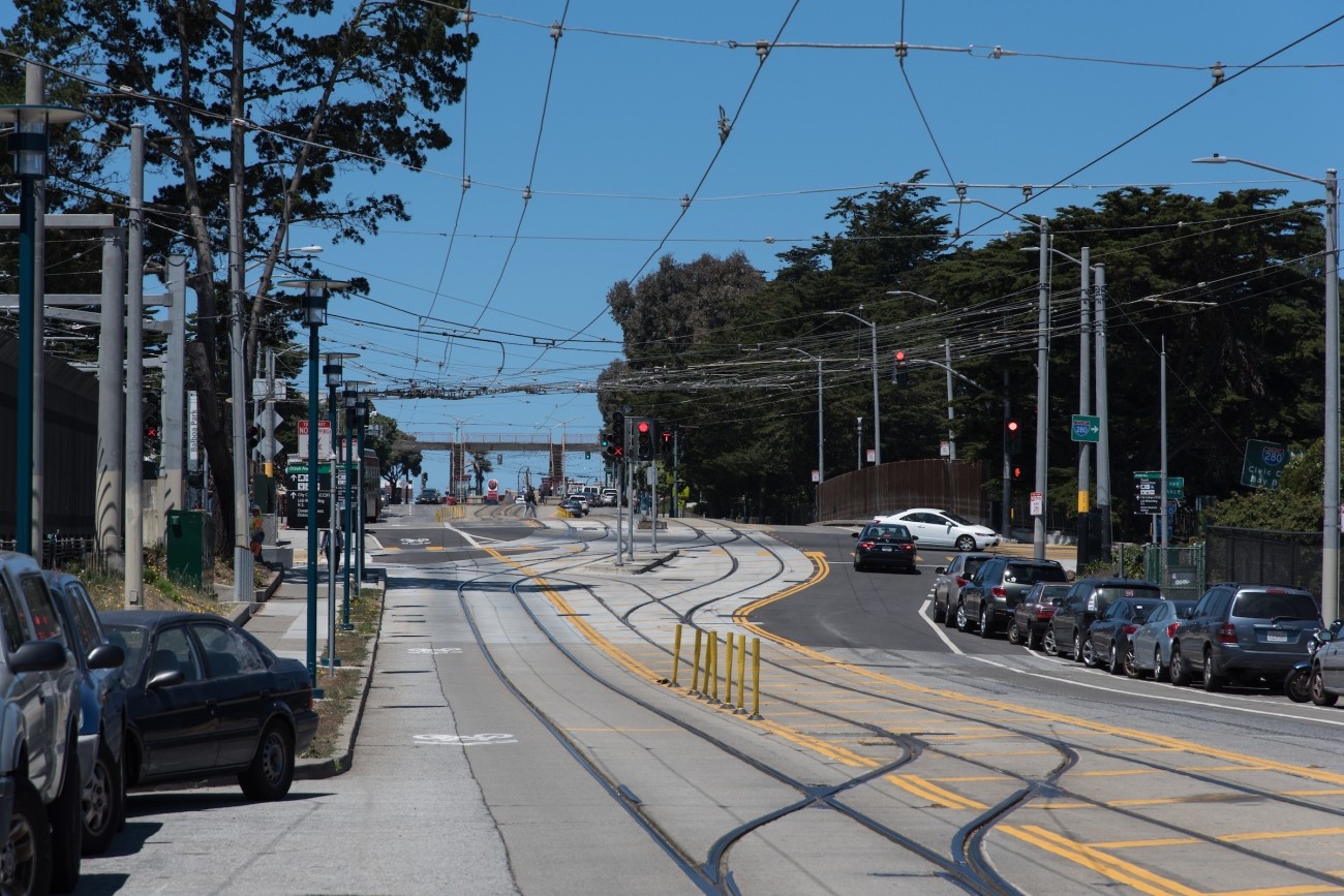
The Transportation Authority developed the Ocean Avenue Mobility Action Plan to prioritize and identify funding for transportation improvements for the Ocean Avenue corridor.
Image
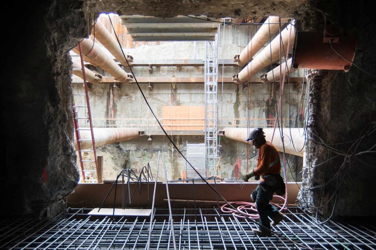
The San Francisco County Transportation Authority has released its “Transportation Capital Projects Delivery Study,” commissioned by Chair Rafael Mandelman and prior Vice-Chair Aaron Peskin to examine ways to improve delivery of large scale, complex transportation projects in San Francisco.
Image
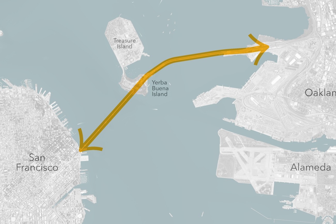
The Transbay Comprehensive Multimodal Corridor Plan Supplement presents a holistic approach for managing congestion, improving safety, and maximizing traffoc flow for all travel modes and incorporates measures to reduce air pollution and greenhouse gases.
Image
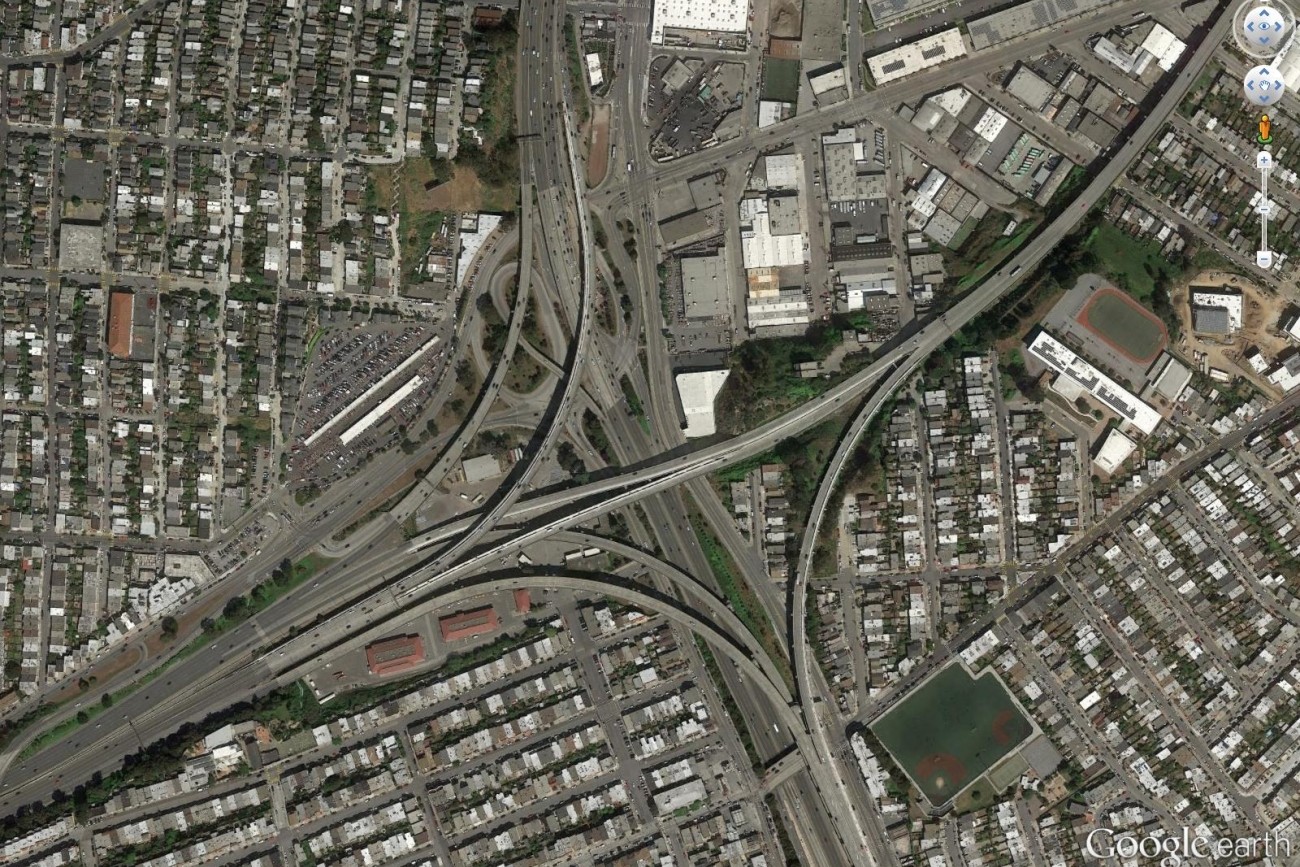
Finalized in April 2017, the Alemany Interchange Improvement Study outlined a list of safety and accessibility recommendations for the Alemany interchange.
Image

Plan Bay Area is a 25-year plan that establishes the nine-county Bay Area region’s vision for land use and transportation.
Image
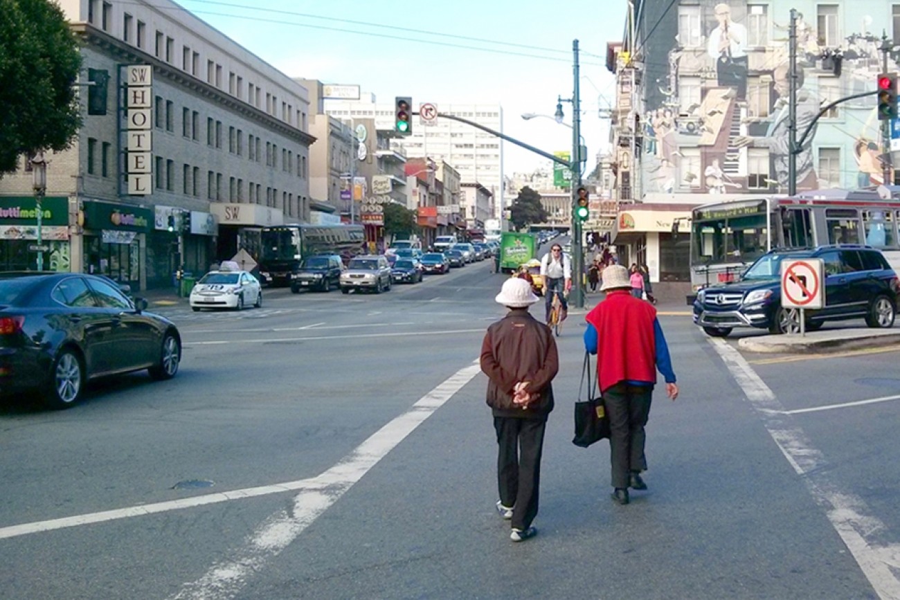
This plan focused on strategies to improve pedestrian safety on two high pedestrian-injury corridors in Chinatown: Broadway Street between Van Ness and Columbus Avenues, and Kearny Street between Bush and Jackson Streets.
Image
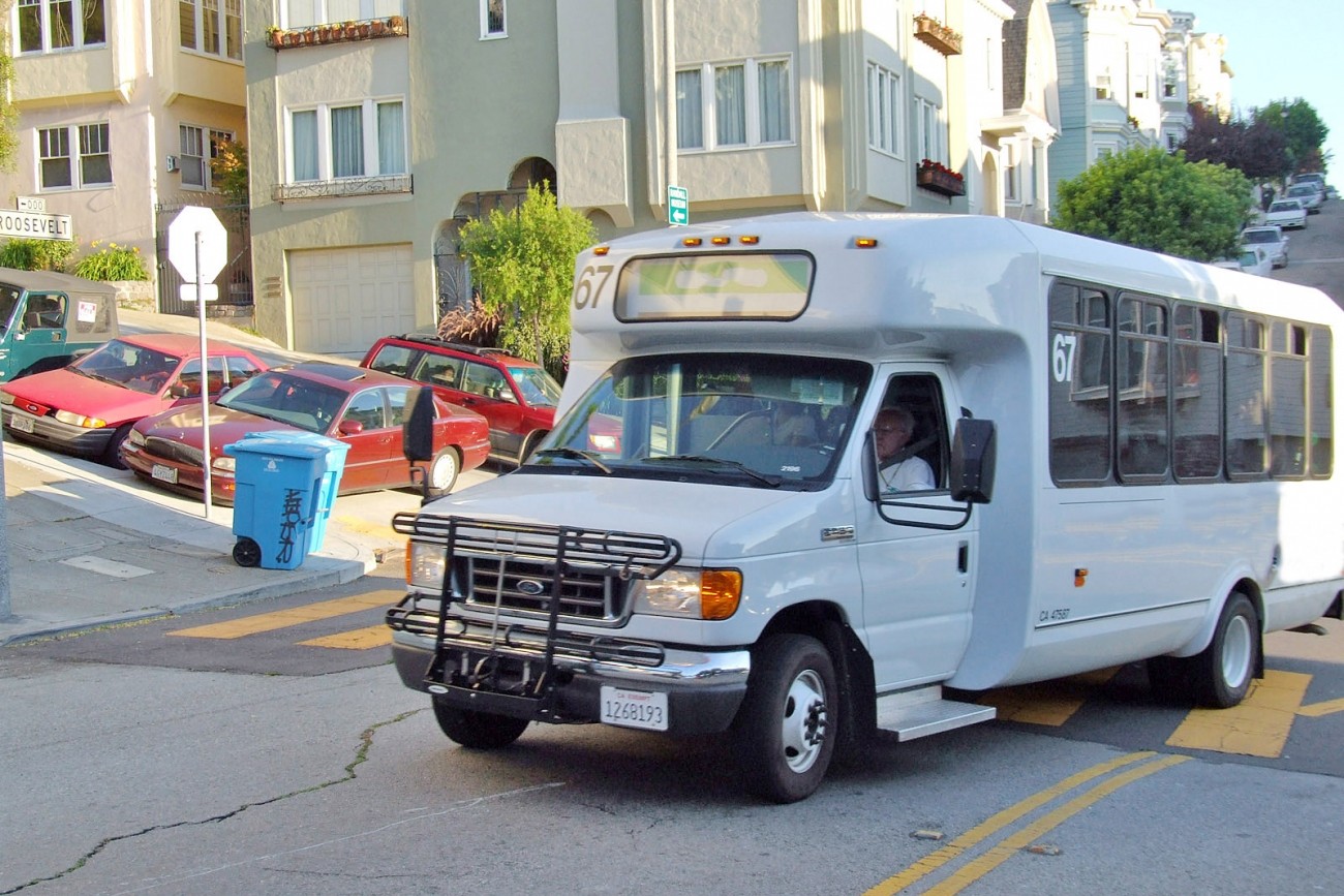
This study focused on improving residents’ access to groceries, health appointments, after-school programs, and other important services.
Image
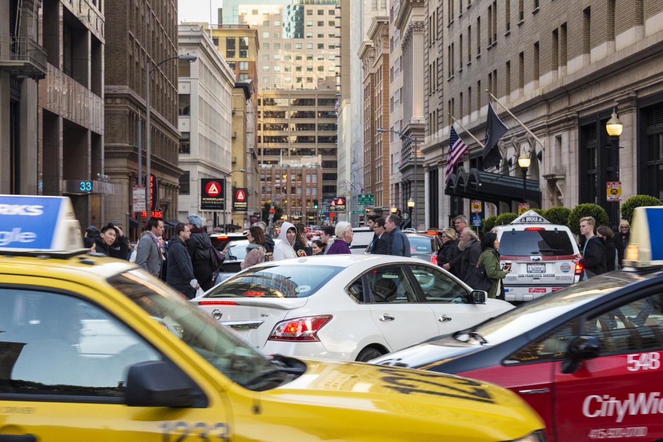
Congestion pricing would involve charging drivers a fee to drive in specific congested areas of downtown to keep traffic and transit moving.
Image
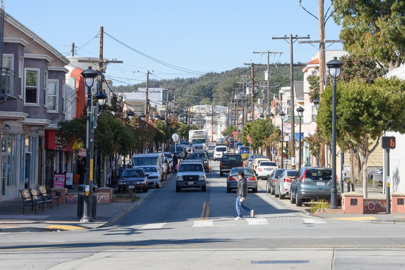
This project will implement recommendations from the Visitacion Valley and Portola Community Based Transportation Plan. Specific improvements may include speed humps/cushions, lighting, crosswalk flashing beacons, new and/or raised crosswalks, pedestrian bulbouts, new bikeways, and Muni stop improvements. This project will focus specifically on improvements in Visitacion Valley.
Image
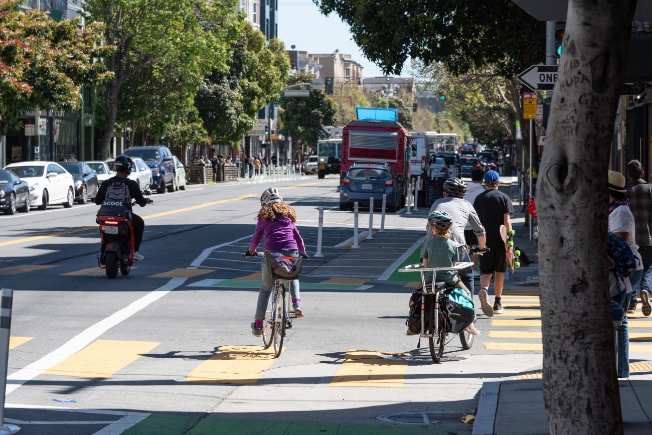
The Valencia Long-Term Bikeway Study will identify long-term concepts for safety and streetscape improvements on the Valencia Street corridor between Market Street and Cesar Chavez. The project will combine technical analysis, stakeholder input, and concept design for pilot block tests to study several community-generated concepts, including a curbside two-way protected bikeway, a pedestrianized Valencia Street, or that may result in converting the corridor to a one-way street or restricting through-traffic on the corridor.
Image
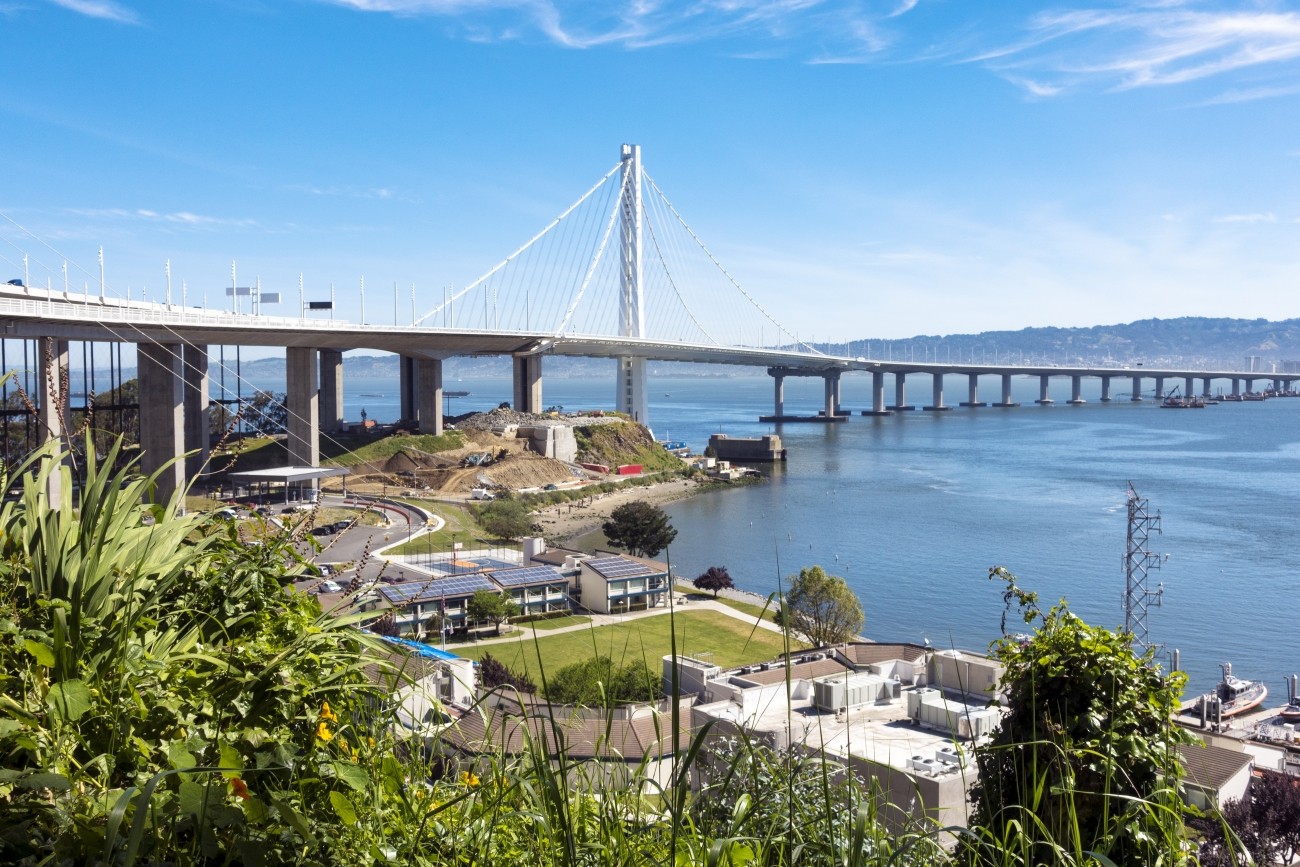
Vista Point is a scenic rest stop on Yerba Buena Island near the Bay Bridge east span bicycle/pedestrian path.
Image
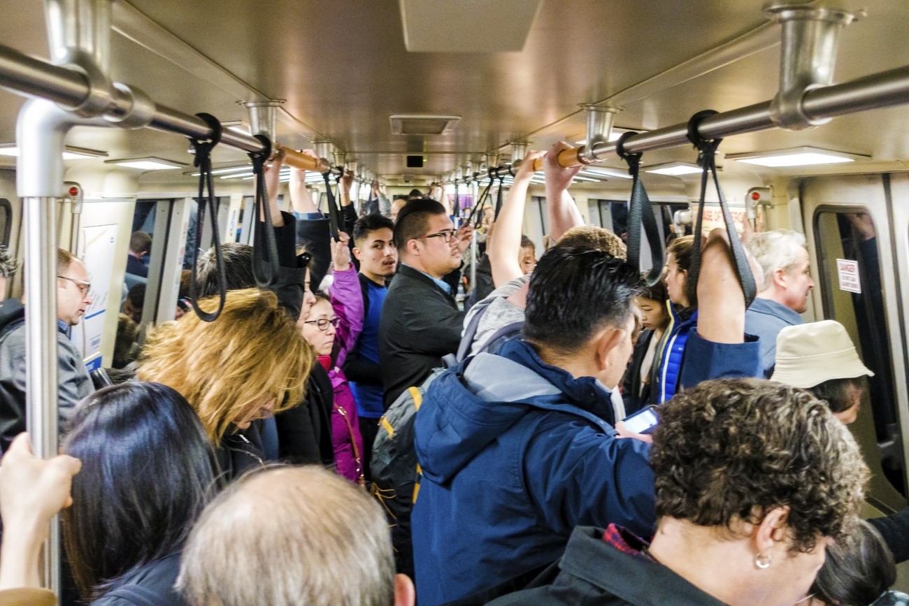
BART Perks was a six-month test program to explore new ways to reduce crowding on BART.