Image
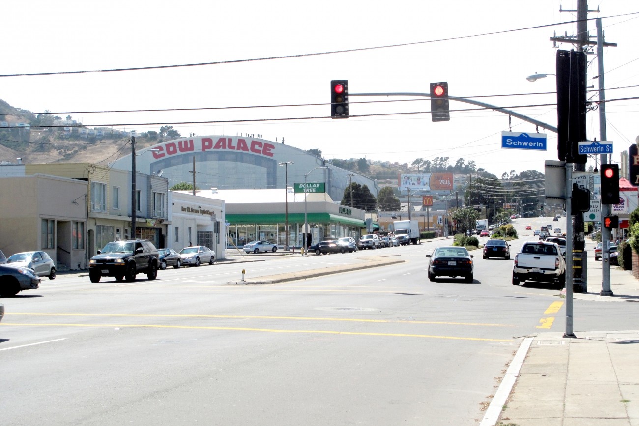
The Geneva-Harney Bus Rapid Transit line is a proposed rapid transit service that will provide existing and future neighborhoods along the San Mateo-San Francisco County border with a rapid bus connection to regional transit service.
Image
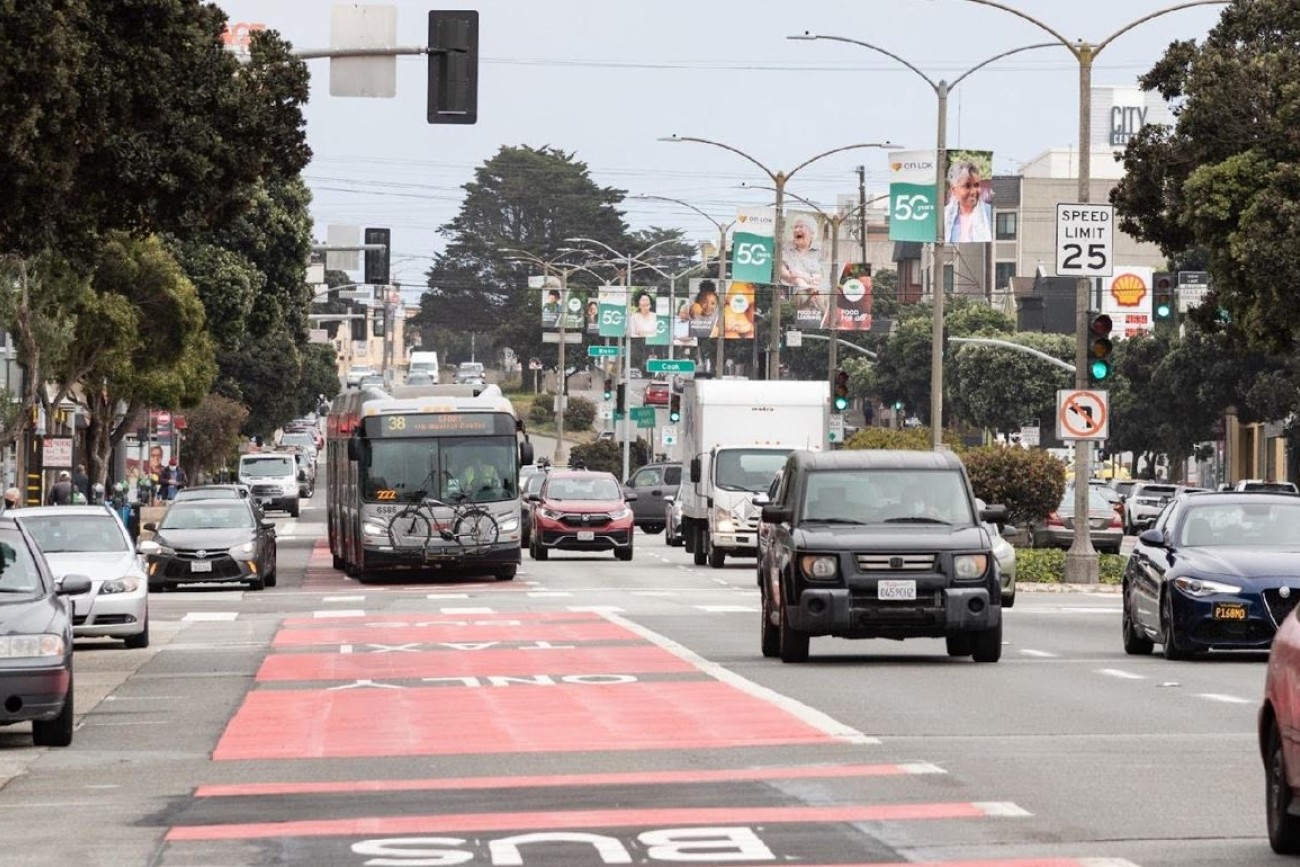
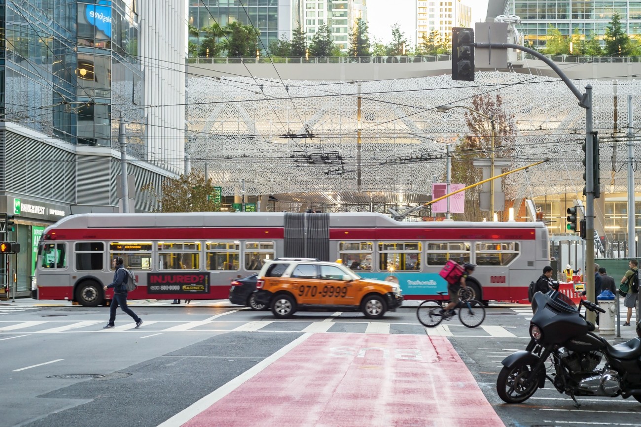
Geary Bus Rapid Transit will improve Geary Boulevard with much-needed safety improvements and faster, more reliable bus service for the tens of thousands of people who use the 38 Geary and 38R Geary Rapid bus routes every day. Project improvements include red bus-only lanes, signal priority for buses, and safety improvements such as sidewalk extensions and accessible curb ramps.
Image
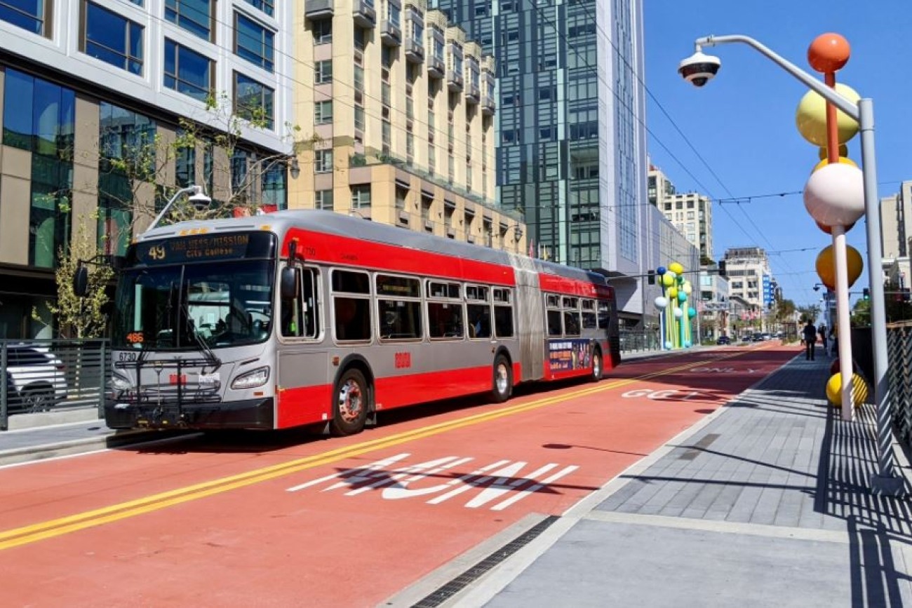
The Van Ness Improvement Project is bringing San Francisco its first Bus Rapid Transit system.
Image
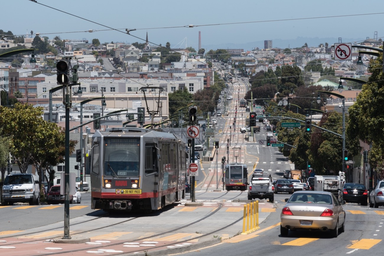
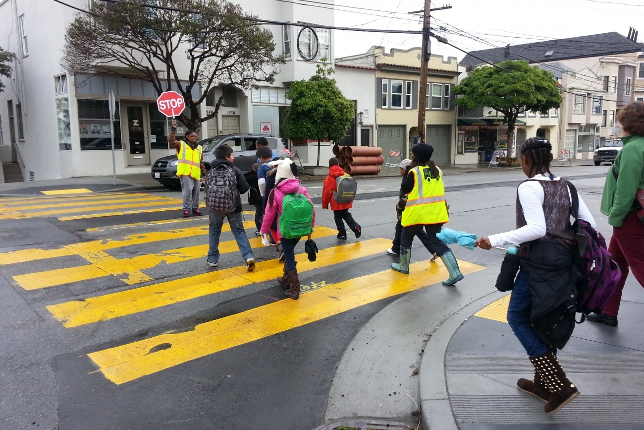
The District 10 15 Third Street Bus Study evaluated re-establishing the 15 Third Street Muni bus route. Residents and community members in Dogpatch, Bayview, and Hunter’s Point have raised concerns about delays and reliability of T Third light rail service on Third Street and expressed a desire to return bus service to the corridor. SFMTA is currently operating a new 15 Third Express route as identified by this study.
Image
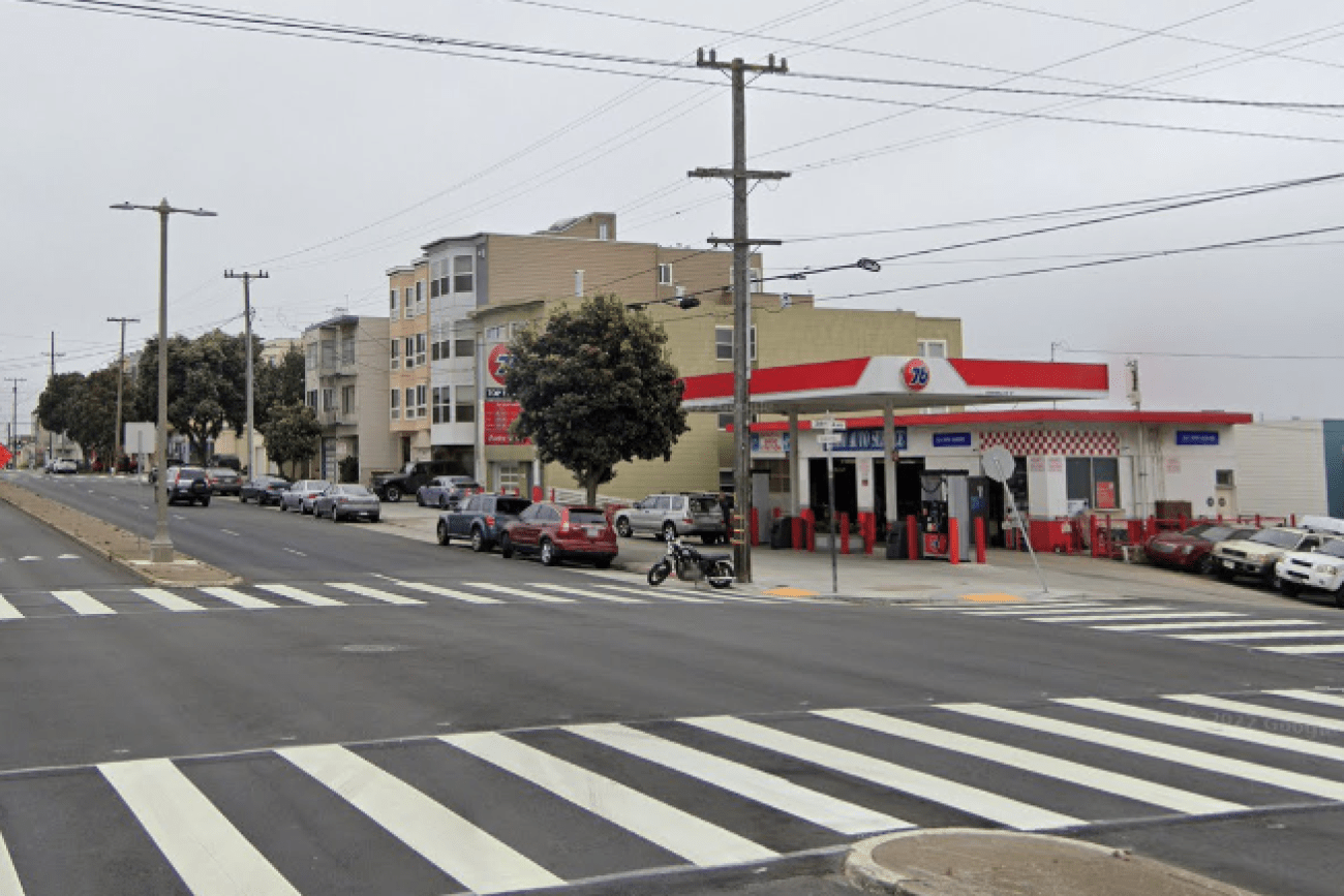
This project will design and install rectangular rapid flashing beacons, pedestrian push buttons, and improved signage to improve pedestrian safety at the intersection of 38th Avenue and Geary Boulevard.
Image
Image
This SFMTA- led project includes roadway and public space improvements to enhance pedestrian safety, improve access to transit stops, reduce both intersection crossing distances and traffic speeds, and provide new community gathering areas.
Image
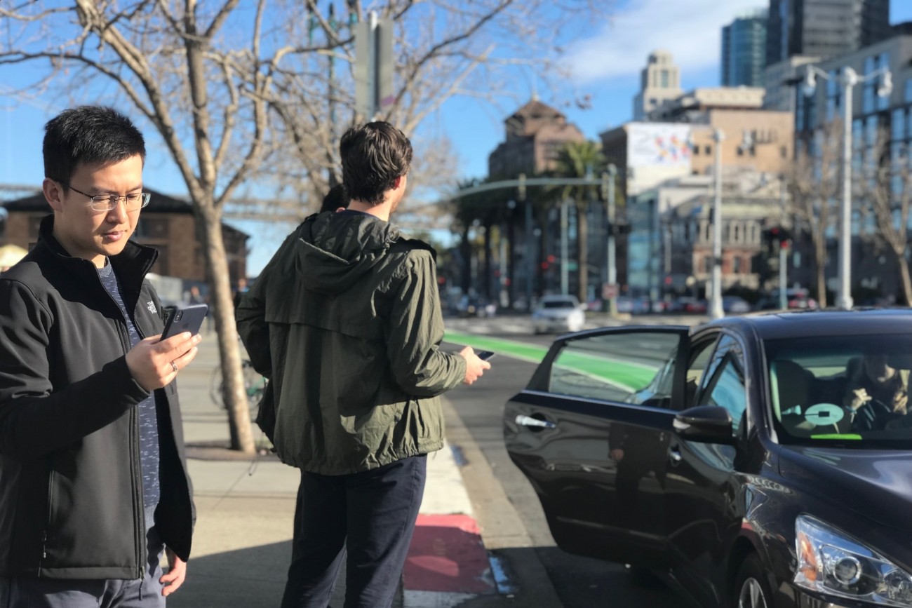
This report provides the first comprehensive look at the rapidly evolving emerging mobility sector in San Francisco.
Image
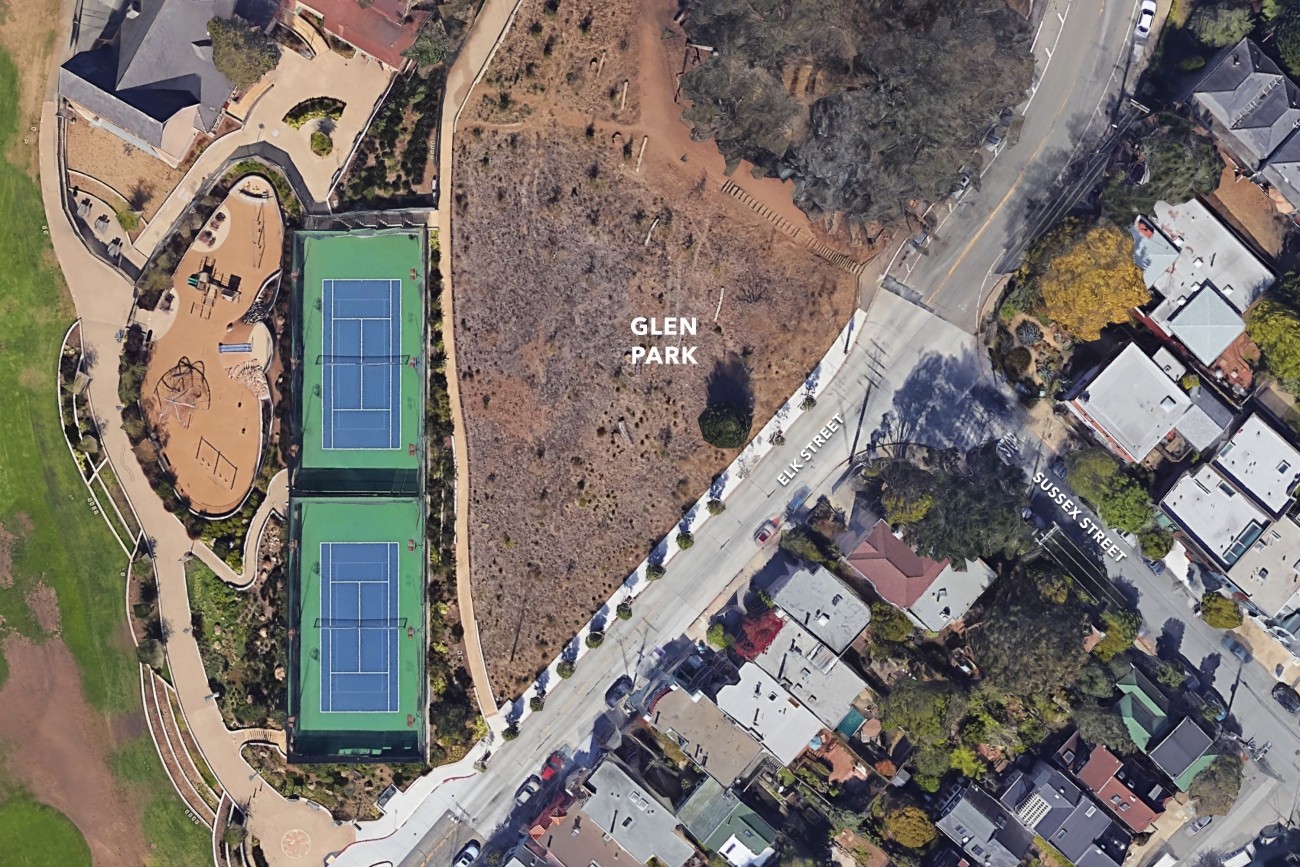
Pedestrian safety improvements at the intersection may include up to three bulb-outs, rectangular rapid flashing beacons, and pedestrian crossing signage to improve safety and access to Glen Canyon Park.
Image
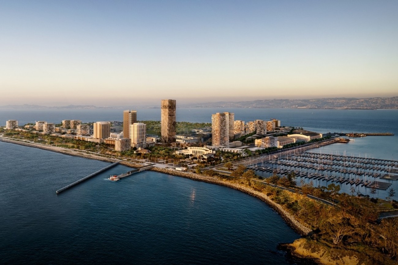
The Treasure Island Transportation Program will address the island's growing transportation needs with a goal to have at least 50 percent of trips made by transit instead of private vehicles.
Image
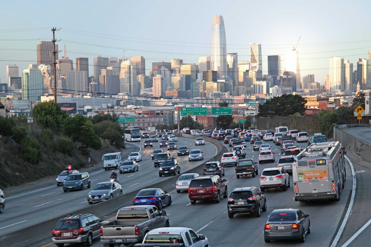
The study will consider managed lane alternatives, including priced lane and priced facility options, for freeways within San Francisco (Central Freeway, I-80, U.S. 101, I-280) with the goals of reducing vehicle miles traveled, increasing person throughput, and improving transit reliability.
Image
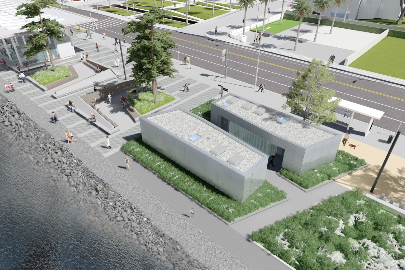
The Treasure Island Ferry Terminal Enhancements Project will construct new transit shelters and public restrooms.
Image
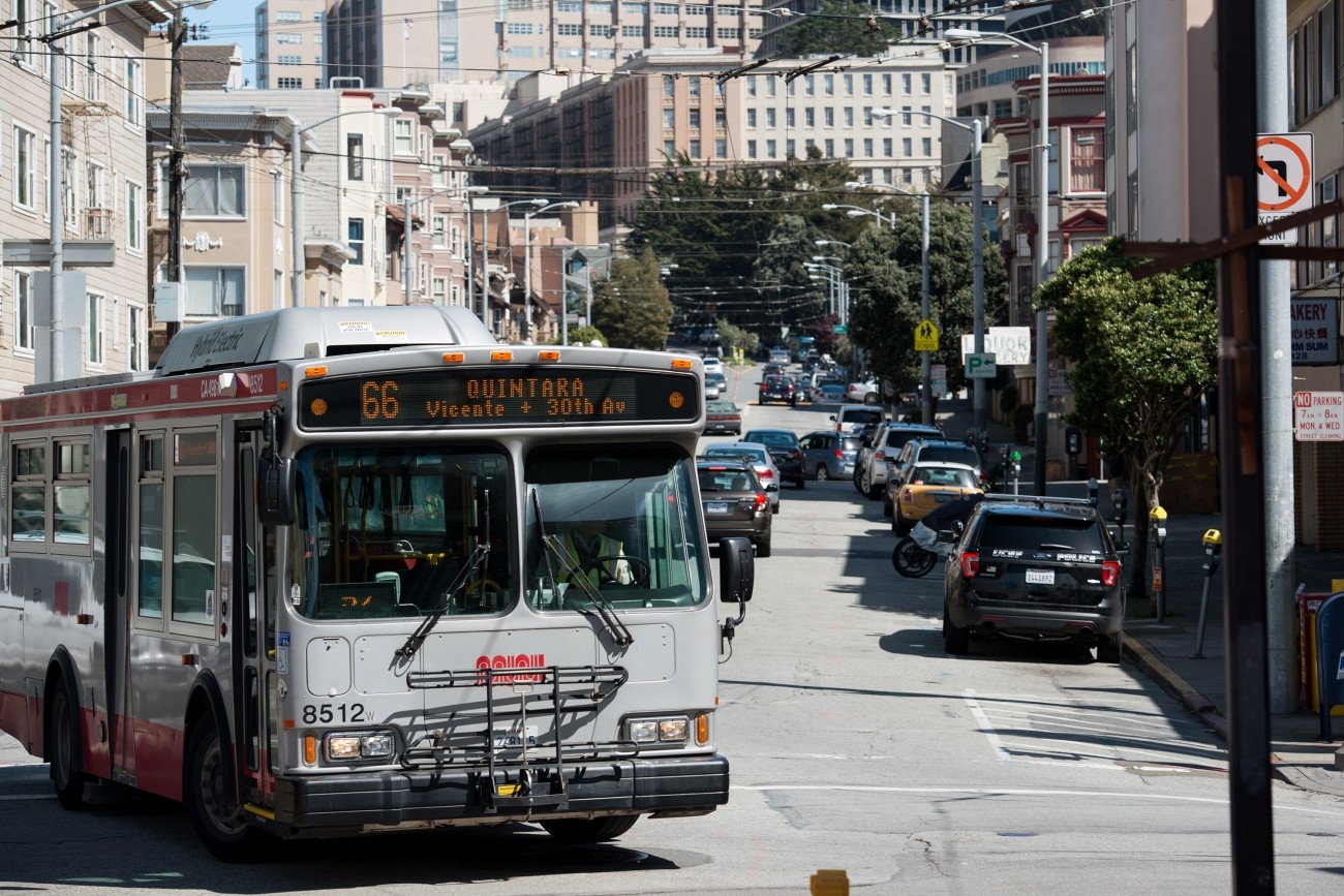
The 66-Quintara Reconfiguration Study identified ways to meet the San Francisco West Side neighborhoods’ transit access and connectivity needs.
Image
The District 1 Multimodal Transportation Study will engage the community to identify known mobility challenges and develop near- to long-term strategies to improve transit reliability and safety and shift trips to transit, walking, biking, or other non-driving options.
Image

The study goal is to understand resident and worker transportation needs, outline recommended short-term public transit improvements, and plan for supplemental transportation options.