Image
The District 10 15 Third Street Bus Study evaluated re-establishing the 15 Third Street Muni bus route. Residents and community members in Dogpatch, Bayview, and Hunter’s Point have raised concerns about delays and reliability of T Third light rail service on Third Street and expressed a desire to return bus service to the corridor. SFMTA is currently operating a new 15 Third Express route as identified by this study.
Image
This project will design and install rectangular rapid flashing beacons, pedestrian push buttons, and improved signage to improve pedestrian safety at the intersection of 38th Avenue and Geary Boulevard.
Image
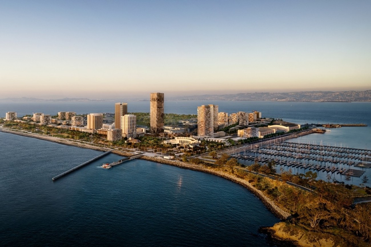
The Treasure Island Transportation Program will address the island's growing transportation needs with a goal to have at least 50 percent of trips made by transit instead of private vehicles.
Image
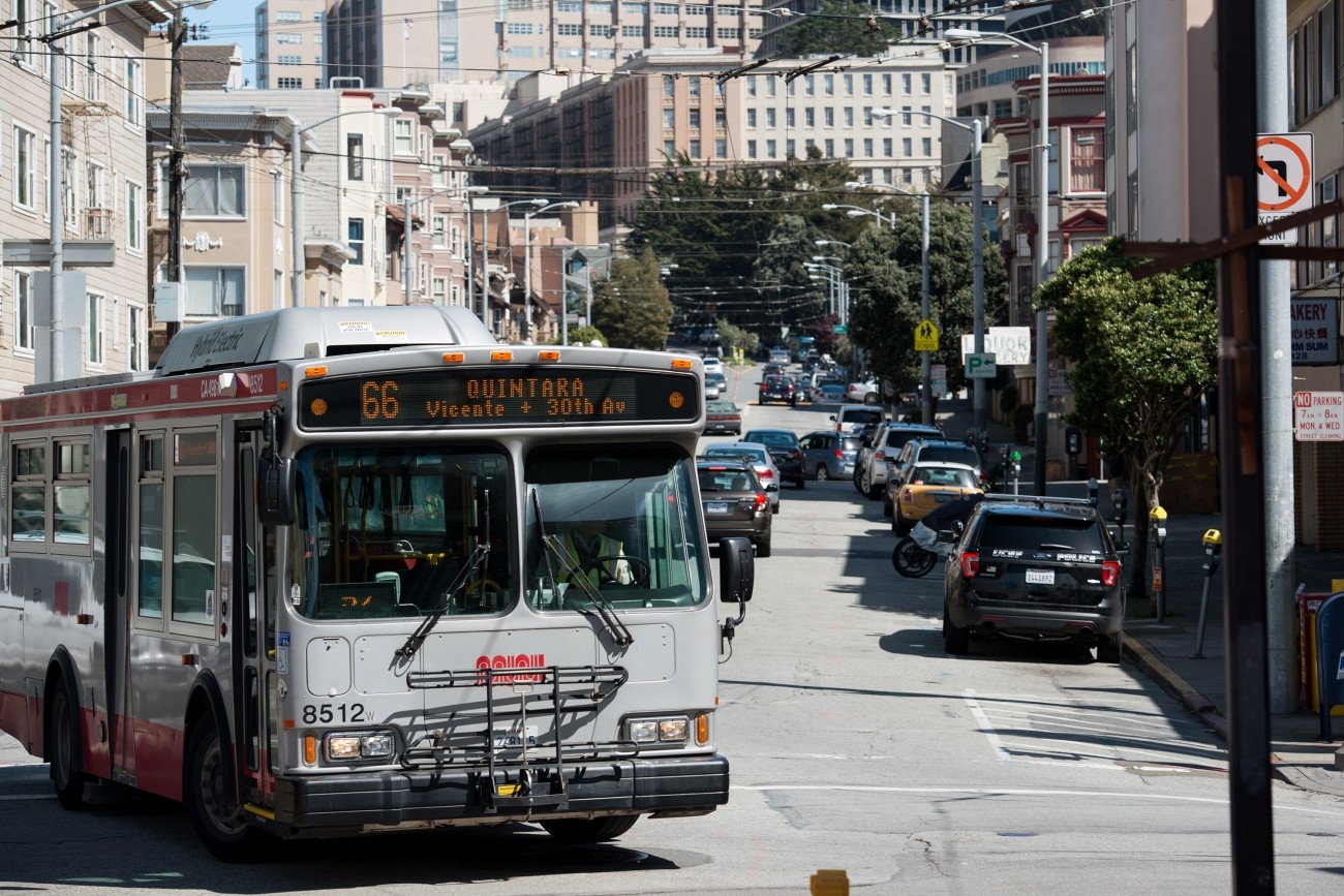
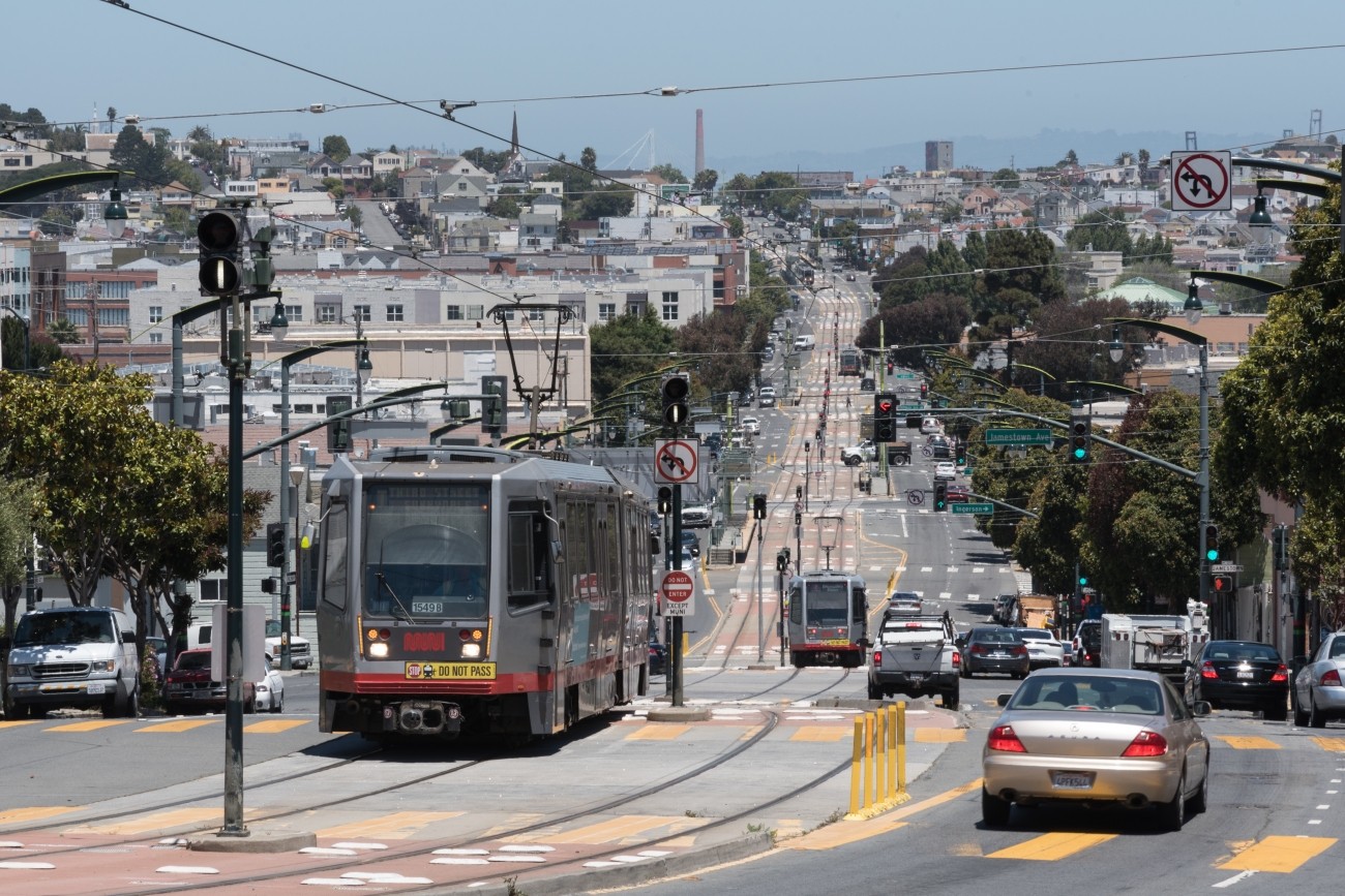
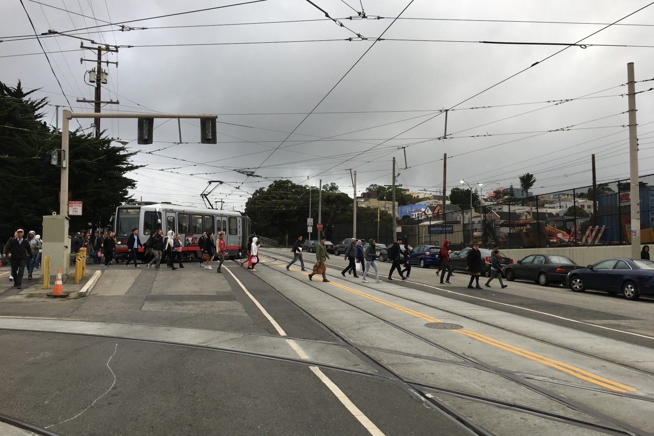
The 66-Quintara Reconfiguration Study identified ways to meet the San Francisco West Side neighborhoods’ transit access and connectivity needs.
Image
The District 1 Multimodal Transportation Study will engage the community to identify known mobility challenges and develop near- to long-term strategies to improve transit reliability and safety and shift trips to transit, walking, biking, or other non-driving options.
Image

The study goal is to understand resident and worker transportation needs, outline recommended short-term public transit improvements, and plan for supplemental transportation options.
Image
This study will identify a prioritized short list of recommendations to improve multimodal traffic safety and access in the Inner Sunset commercial core area in District 7.
Image
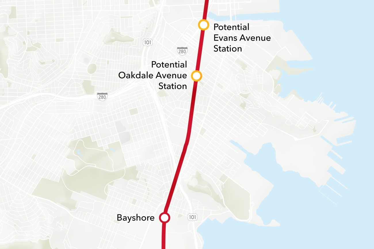
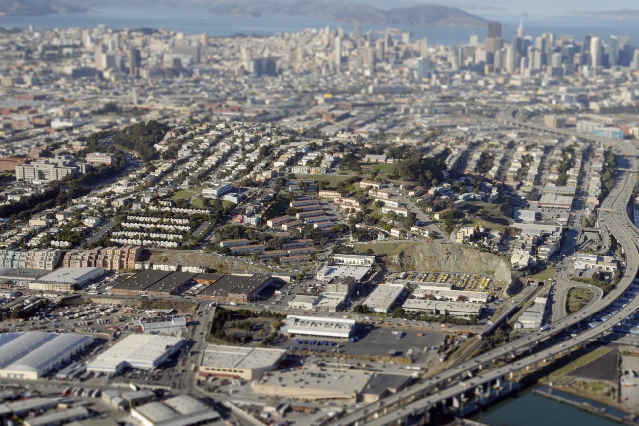
The Bayview Caltrain Station Location Study will recommend the selection of a single new Caltrain station location in the Bayview, prepare the station for environmental approval, and would restore access to Caltrain and the regional transit network to the Bayview community.
Image
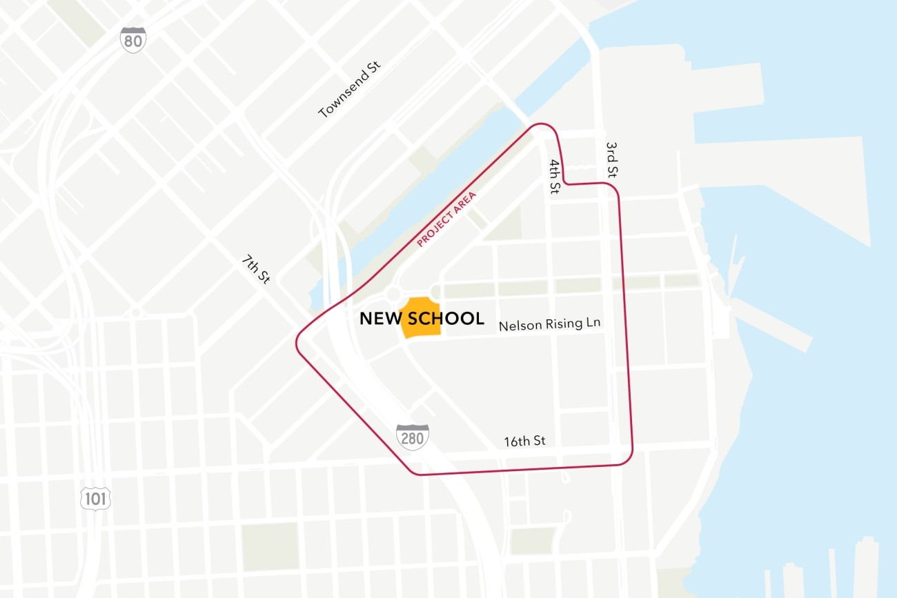
This project will analyze connectivity between a new public school site in the Mission Bay neighborhood, the existing low-stress active transportation network, and existing and planned transit. The project will then design infrastructure improvements to mitigate key barriers to active transportation. The project will also coordinate expected transportation programs and improvements from projects in the area to ensure school access is supported.
Image
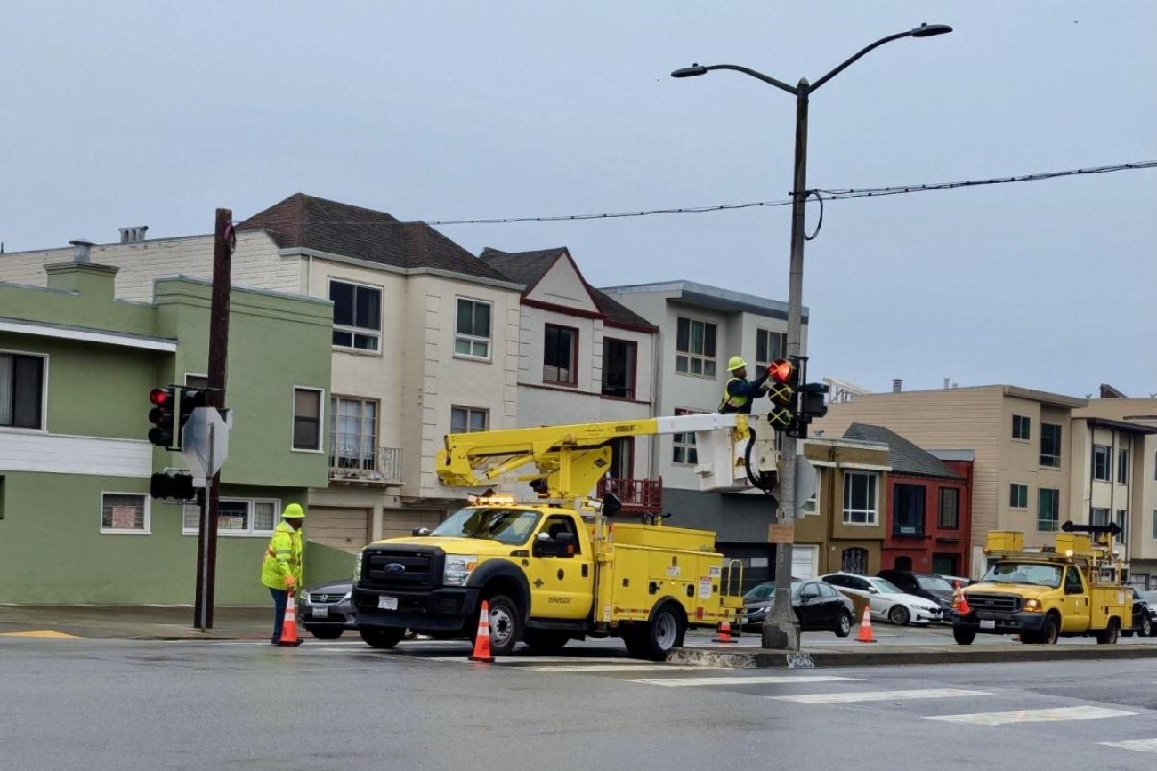
The requested funds for this project will be used for the design phase for new traffic signals at 45th Avenue/Lincoln Way and La Playa Street/Lincoln Way to improve safety and right-of-way allocation, and to reduce vehicle and transit delays associated with the upcoming closure to restrict vehicles on Great Highway due to the passage of Proposition K in November 2024. The scope of work includes all necessary signal infrastructure including new 12” signal heads and mast arms, new signal poles, pedestrian countdown signals, accessible pedestrian signals, and related infrastructure such as curb ramps.
Image
This community-based transportation plan for the southern Potrero Hill neighborhood of San Francisco identified transportation priorities at the neighborhood scale.
Image
Through this study, the SFMTA developed conceptual design improvements to address safety issues near the Geneva-San Jose Intersection.
Image
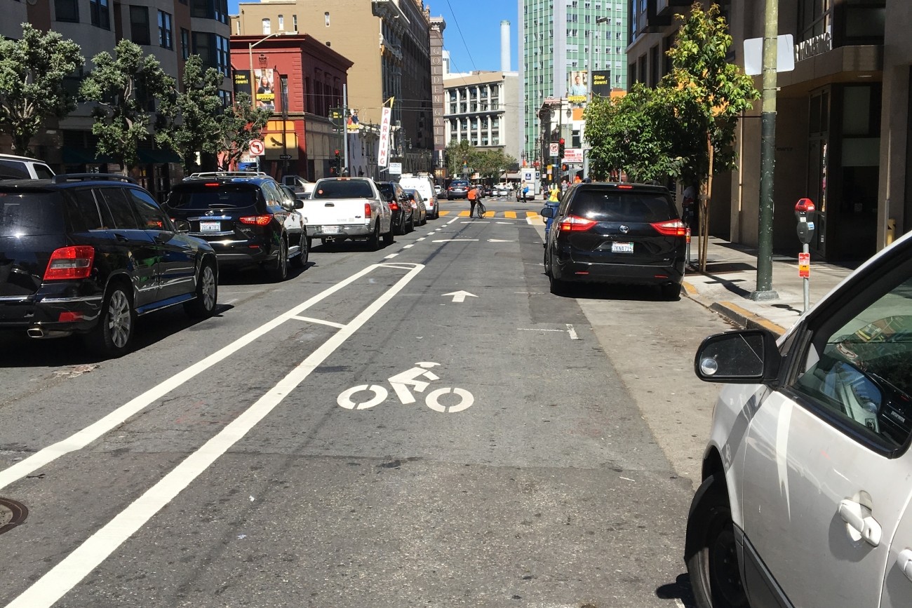
As part of the SFMTA’s Golden Gate Avenue Safety Project, the agency reduced the number of traffic lanes and constructed an eastbound buffered bike lane on Golden Gate Avenue between Polk Street and Market Street.
Image
Transportation Authority Board Member Norman Yee (D7) engaged District 7 residents in an inclusive participatory budgeting process to identify projects that will improve the safety and quality of its neighborhoods. Through this process, the residents and stakeholders requested traffic calming and pedestrian safety measures at specific locations.
Image
The Balboa Area Transportation Demand Management Framework process was designed to initiate collaboration between the City, City College of San Francisco, and surrounding neighborhoods in the effort to encourage sustainable transportation choices in the area.