Image
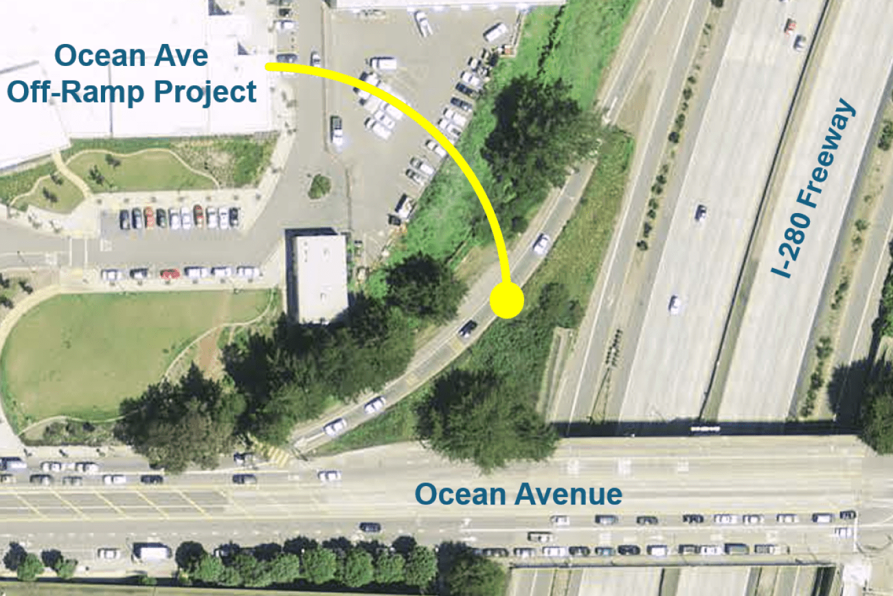
The project will improve pedestrian and bicyclist safety at the Ocean Avenue Off-Ramp intersection by realigning the free-flow right turn off-ramp into a T-intersection and install a traffic signal.
Image
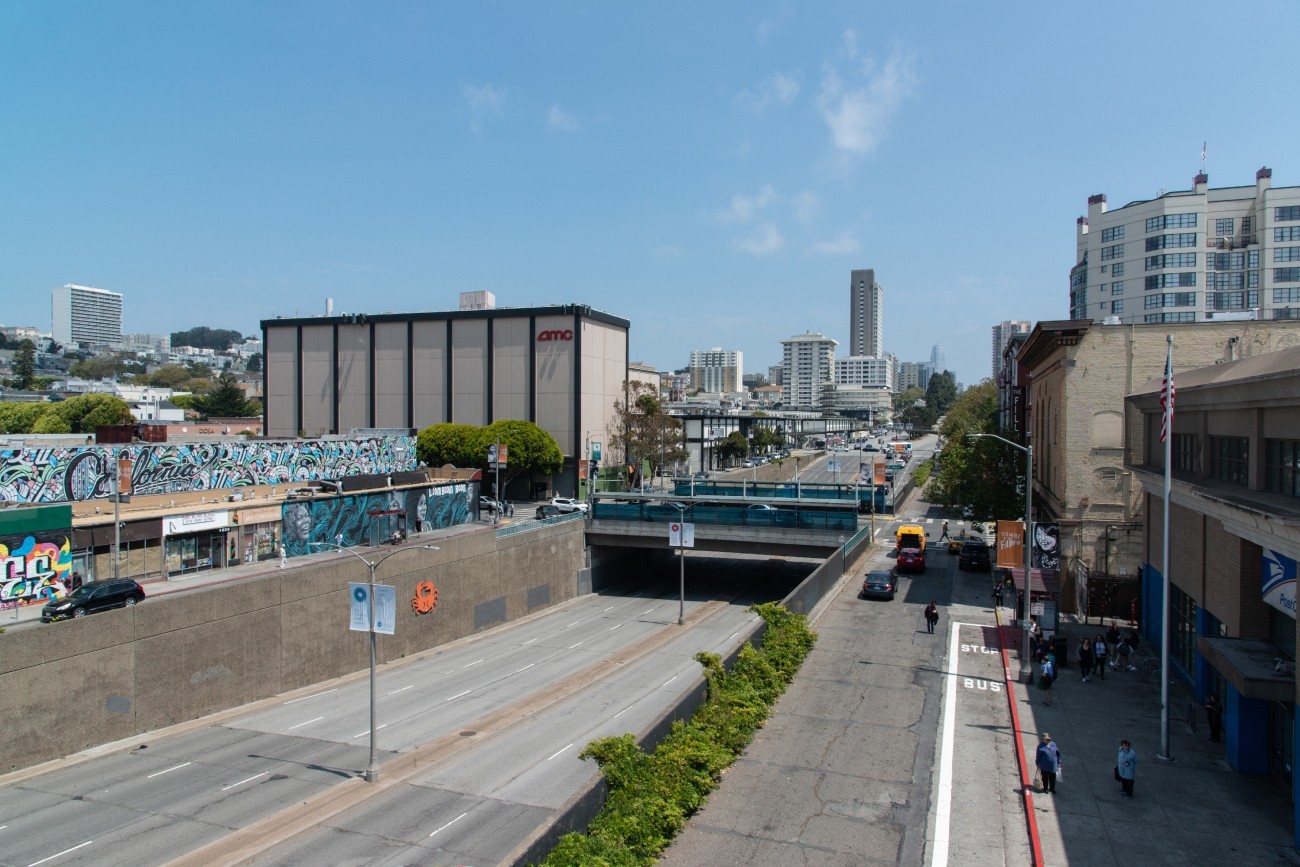
The project will develop transportation and land use concept designs that rethink the urban renewal-era Geary Expressway and advance a high-quality multimodal, mixed-use transit-oriented area to connect the Japantown and Fillmore/Western Addition neighborhoods and promote community livability.
Image
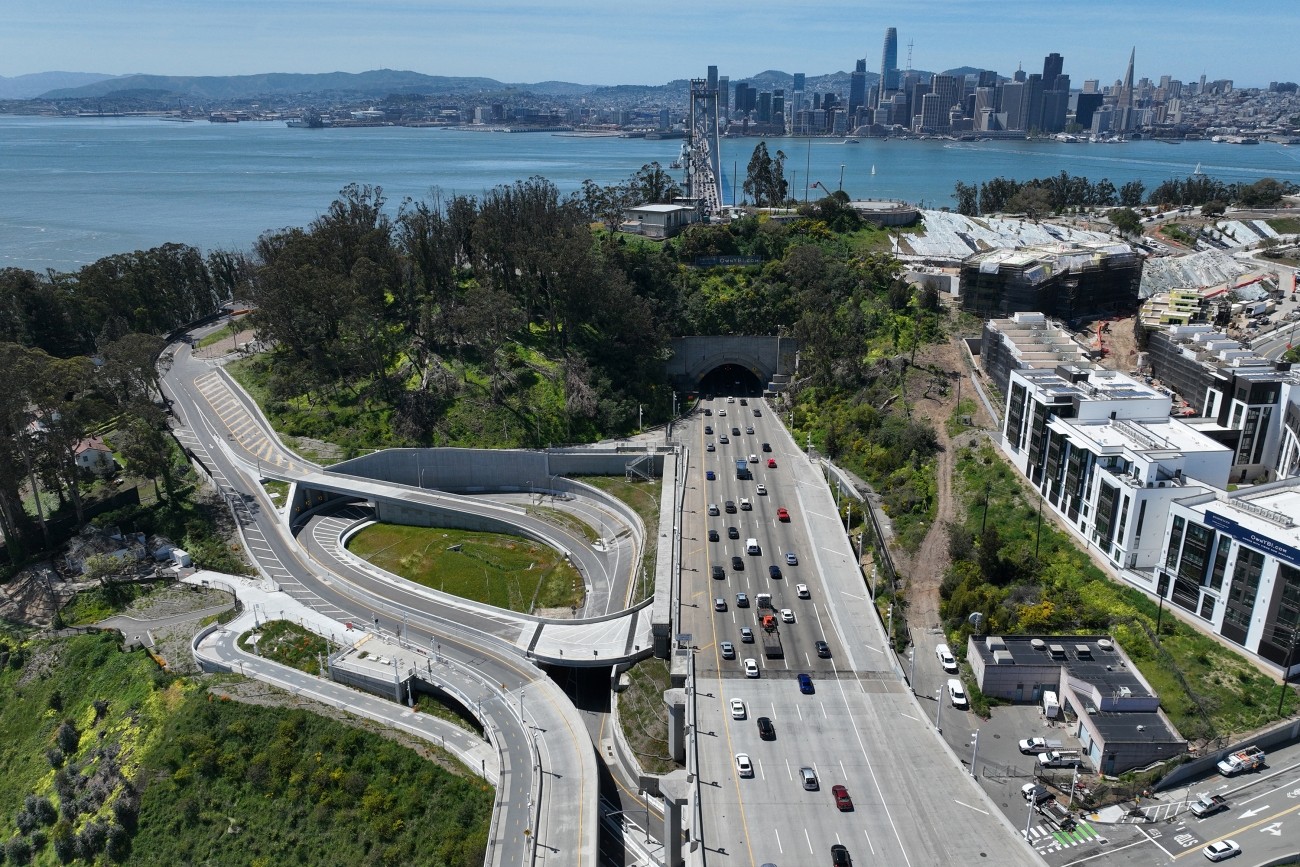
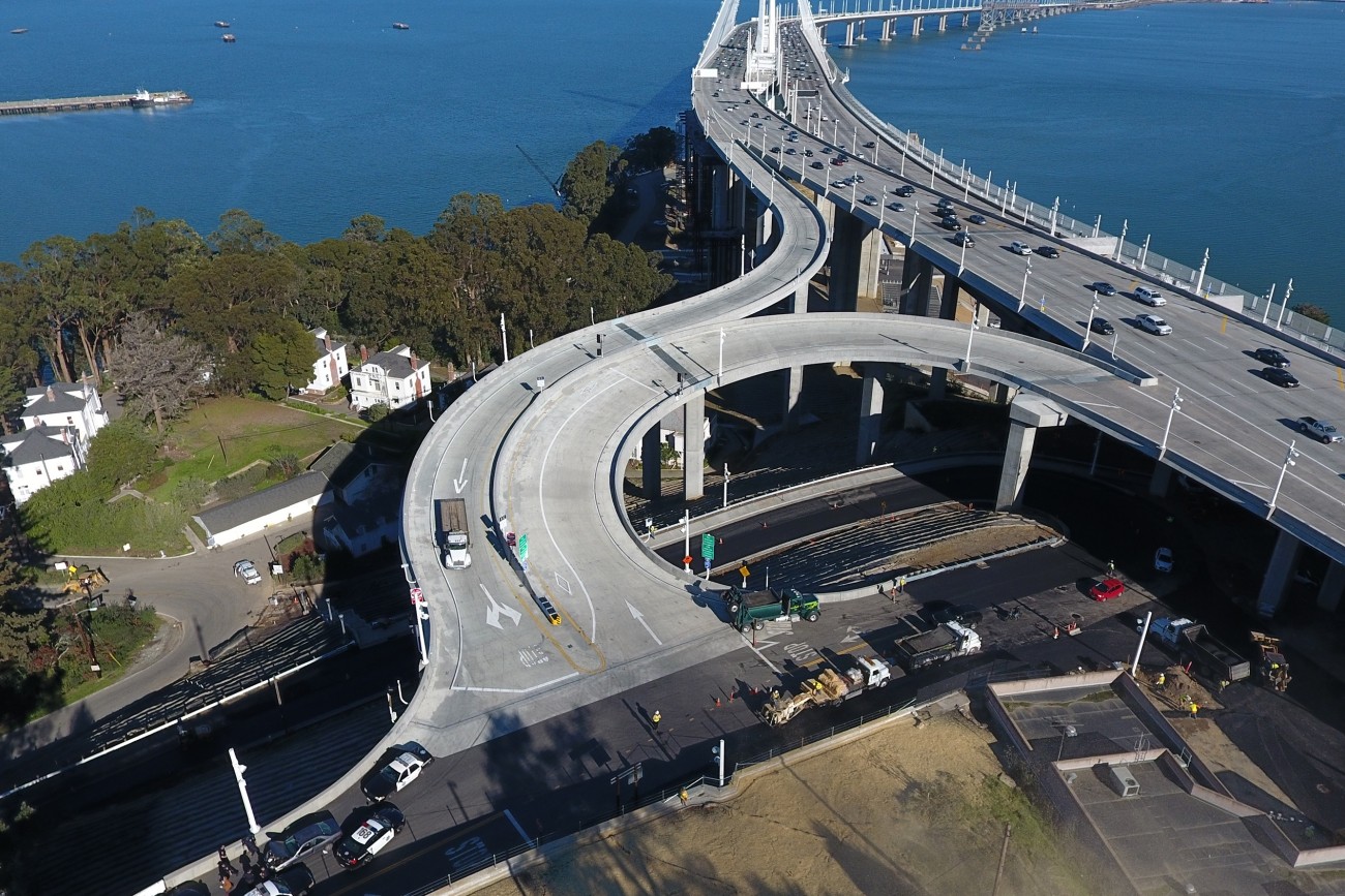
The project reconstructed the I-80 eastbound off-ramp to Yerba Buena Island. The project features an innovative design that enhances safety and circulation. The project was completed in 2023 and reopened to traffic.
Image
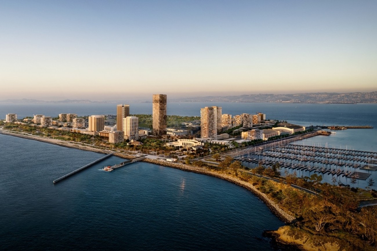
The Treasure Island Transportation Program will address the island's growing transportation needs with a goal to have at least 50 percent of trips made by transit instead of private vehicles.
Image
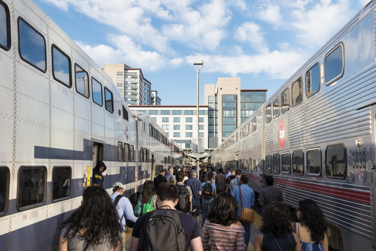
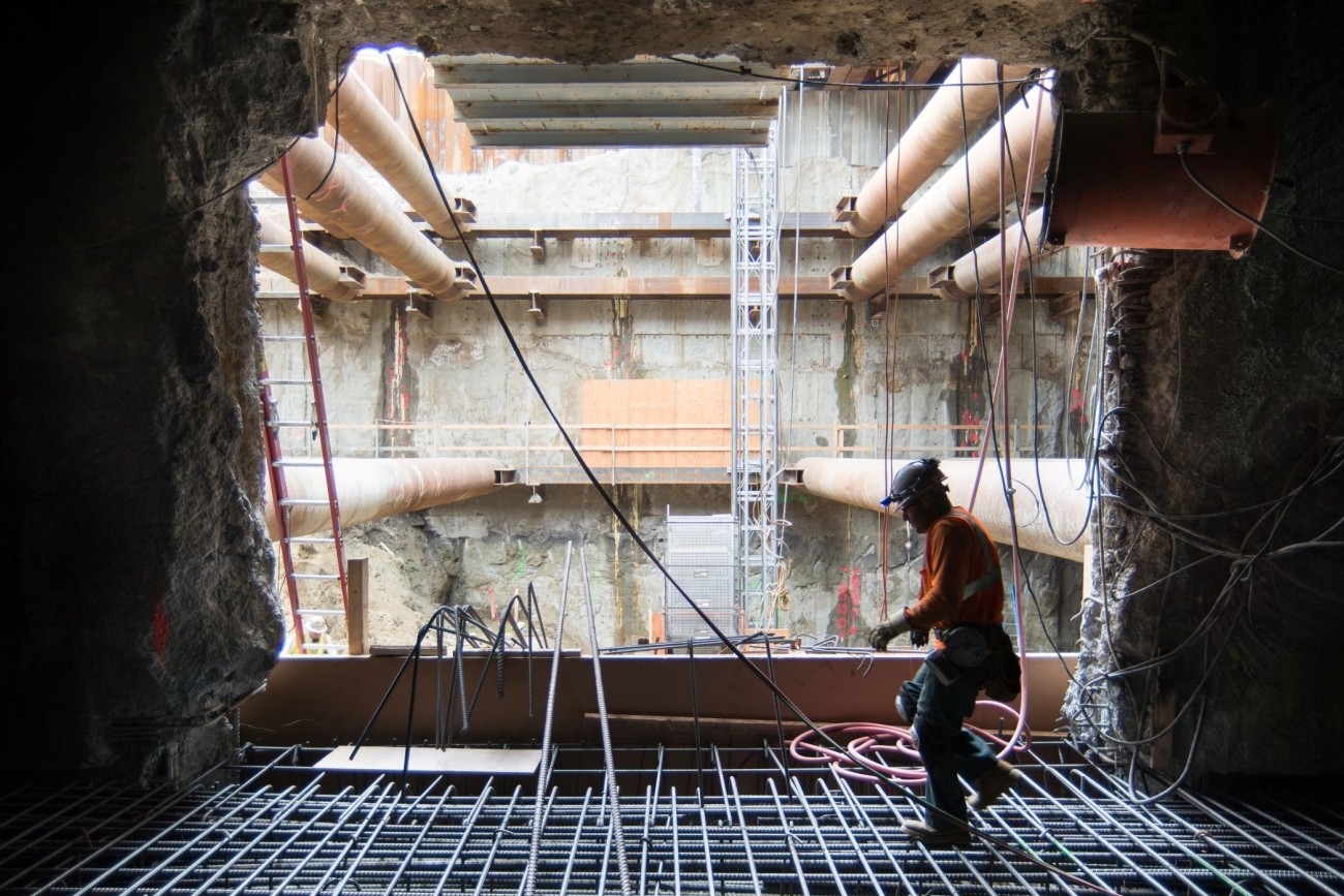
The Downtown Extension is a plan to extend Caltrain and future California High-Speed Rail service from 4th and King rail yard to the newly-constructed Salesforce Transit Center.
Image
The new westbound I-80 on- and off-ramps that connect Yerba Buena Island and Treasure Island to the eastern span of the Bay Bridge are open.
Image
Image
The West Side Bridges Retrofit will seismically retrofit eight existing bridge structures along Treasure Island Road to meet current seismic safety standards.
Image
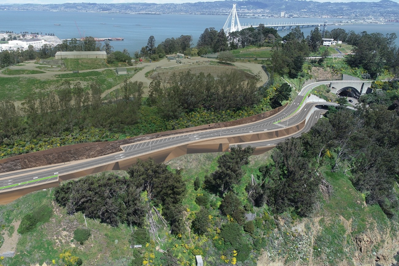
This project will upgrade the roadway to modern roadway and seismic standards and provide additional space for pedestrians and bicyclists.
Image
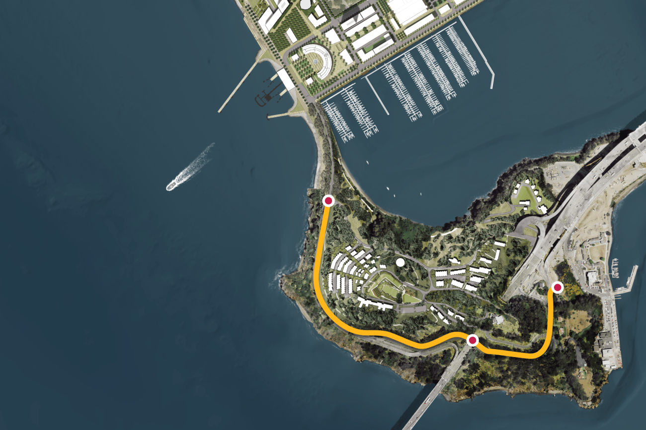
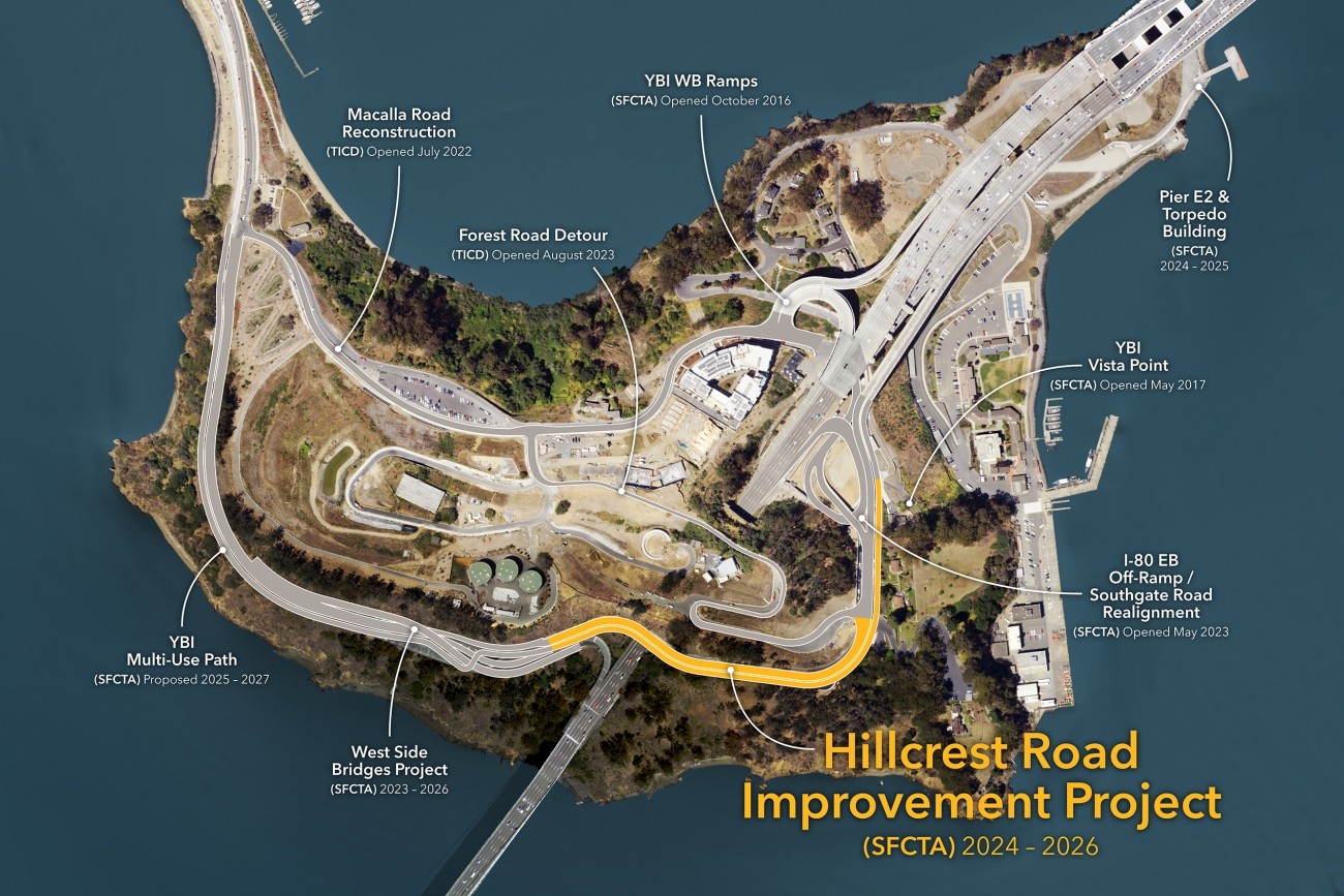
This project will provide protected bicycle and pedestrian pathways that run along Hillcrest Road and Treasure Island Road.
Image
The San Francisco County Transportation Authority has released its “Transportation Capital Projects Delivery Study,” commissioned by Chair Rafael Mandelman and prior Vice-Chair Aaron Peskin to examine ways to improve delivery of large scale, complex transportation projects in San Francisco.
Image
Upper Market has complex, 6-way intersections and is on San Francisco’s Vision Zero High-Injury Network. Through the Upper Market Street Safety Project, SFMTA will install sidewalk and roadway improvements to make Upper Market safer and more comfortable for people walking, biking, driving, and accessing transit.
Image
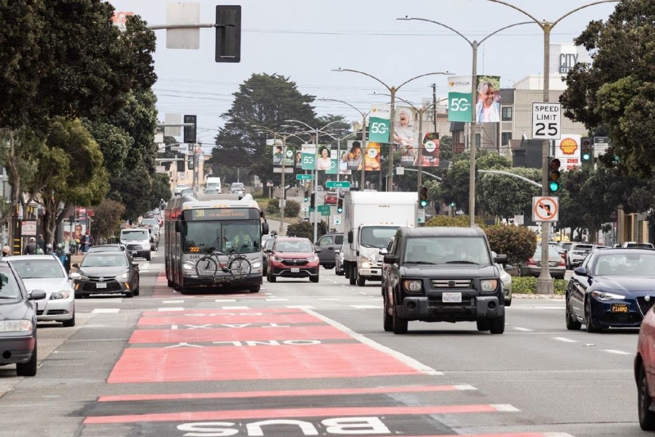
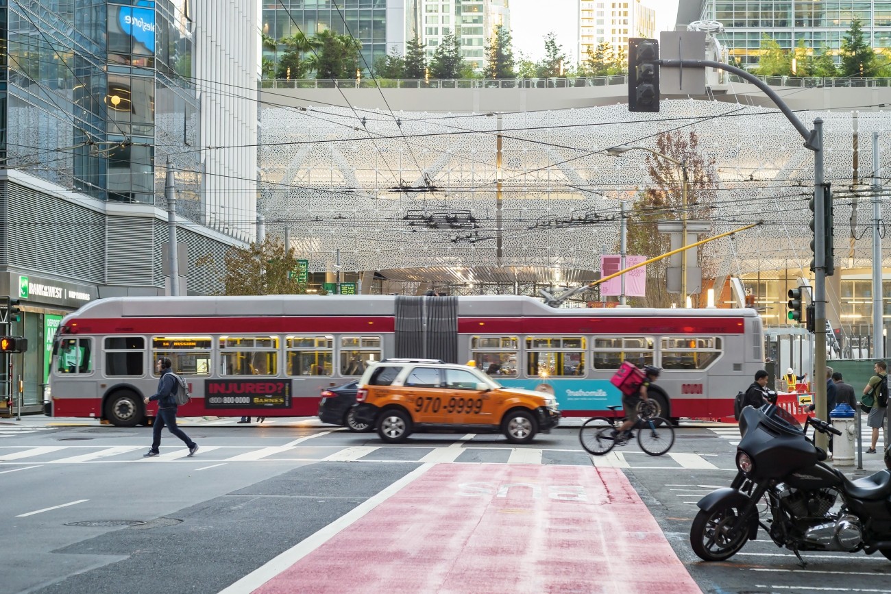
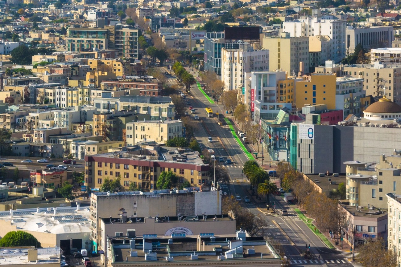
Geary Bus Rapid Transit will improve Geary Boulevard with much-needed safety improvements and faster, more reliable bus service for the tens of thousands of people who use the 38 Geary and 38R Geary Rapid bus routes every day. Project improvements include red bus-only lanes, signal priority for buses, and safety improvements such as sidewalk extensions and accessible curb ramps.
Image
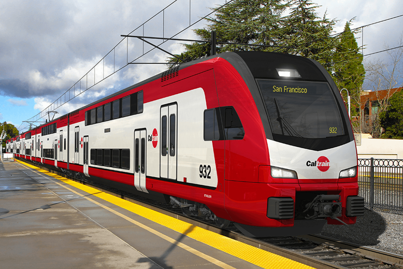
The Caltrain Electrification project will bring fully electrified service to Caltrain.
Image
The Pennsylvania Avenue Extension project will support future uninterrupted passenger rail service through San Francisco.