Image
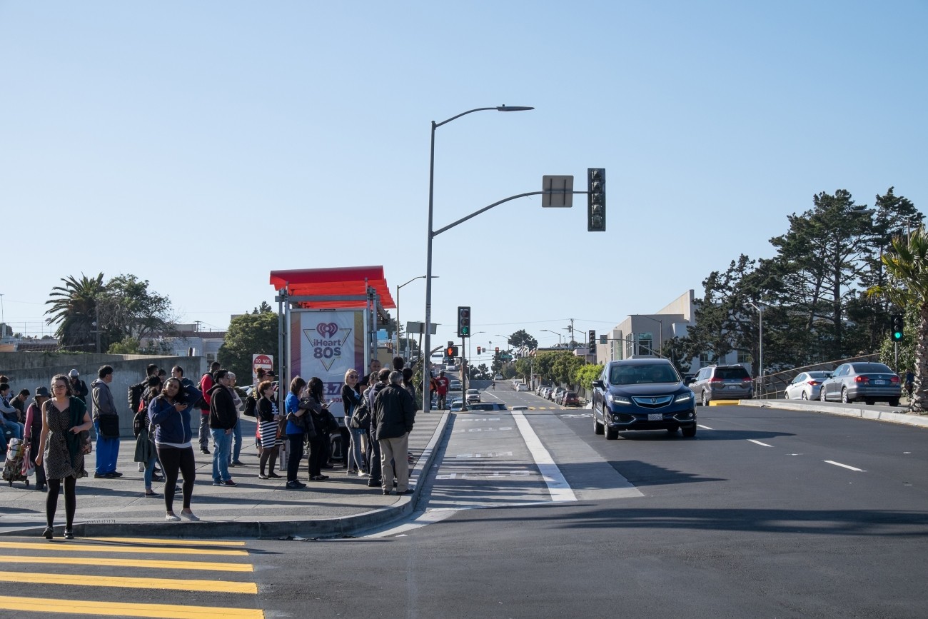
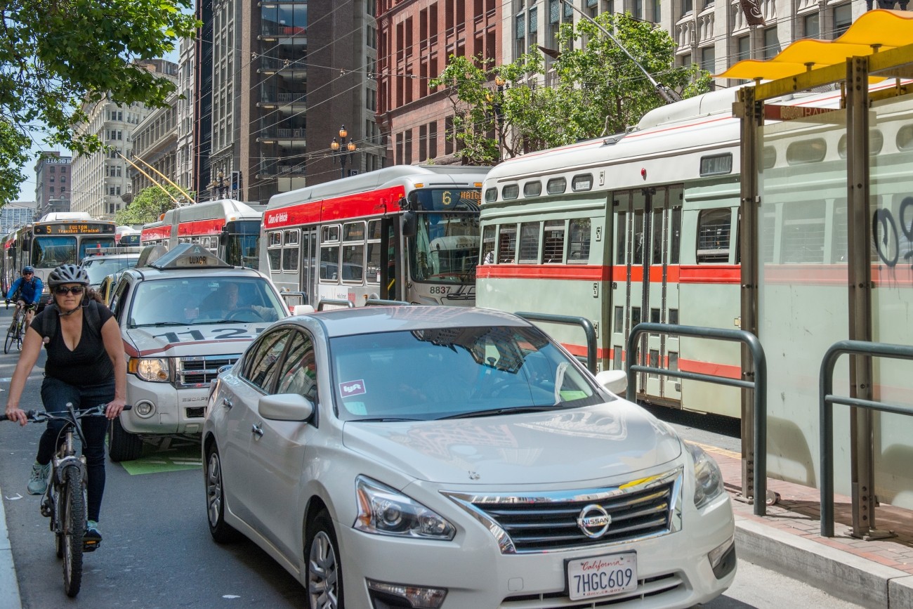
We continue to work with the governor’s office, and state and local representatives to identify solutions to congestion in the area.
Image
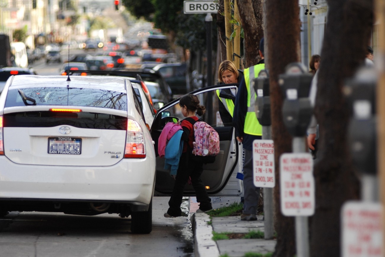
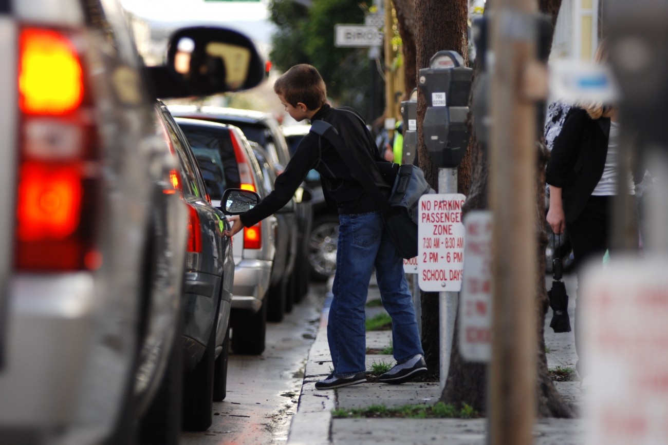
Getting children to school and aftercare in San Francisco is often challenging, particularly for households with multiple children, each of whom may be bound for different destinations.
Image
The Geneva-Harney Bus Rapid Transit line is a proposed rapid transit service that will provide existing and future neighborhoods along the San Mateo-San Francisco County border with a rapid bus connection to regional transit service.
Image
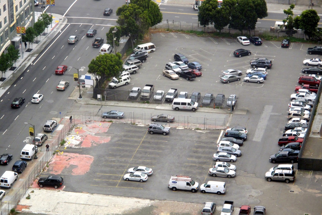
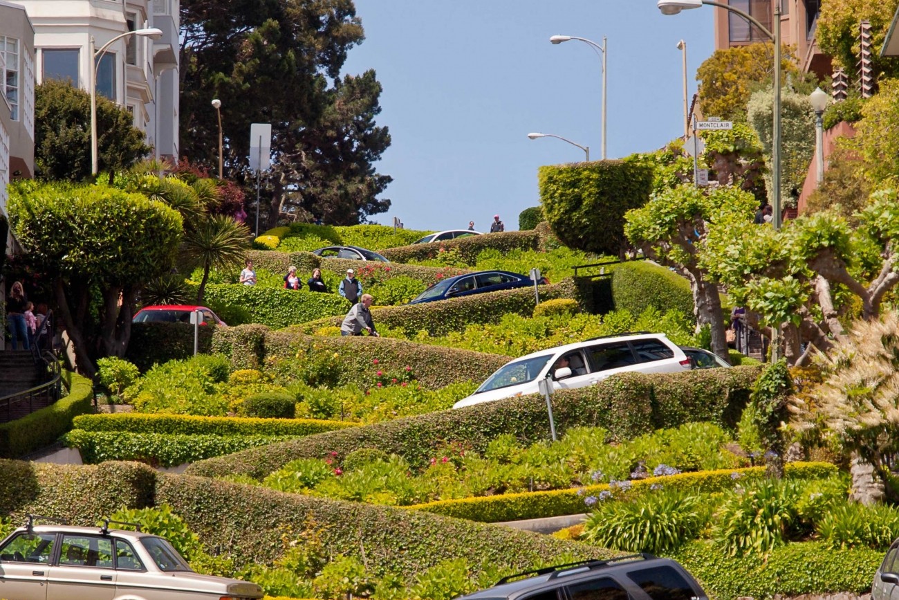
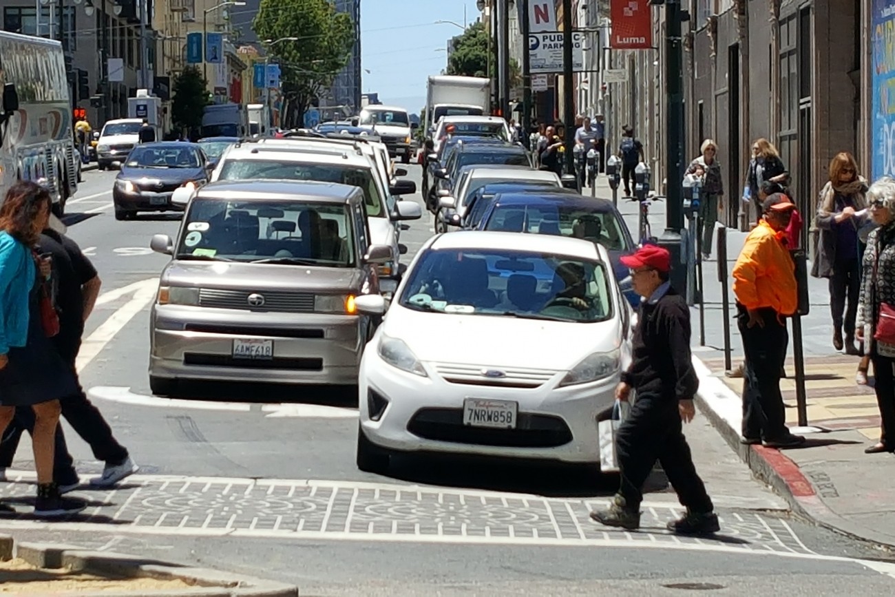
This study explored the effectiveness of parking-based approaches to manage traffic congestion in San Francisco.
Image
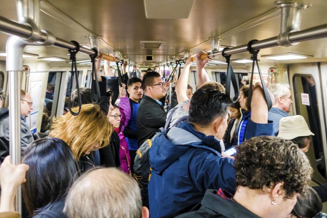
BART Perks was a six-month test program to explore new ways to reduce crowding on BART.
Image
The Balboa Area Transportation Demand Management Framework process was designed to initiate collaboration between the City, City College of San Francisco, and surrounding neighborhoods in the effort to encourage sustainable transportation choices in the area.
Image
The District 4 Mobility Study will explore ways to increase the use of non-automobile modes in the Outer Sunset and Parkside neighborhoods.
Image
The Transportation Authority is creating a School Access Plan for San Francisco to recommend transportation solutions for K-5 students and their families.
Image
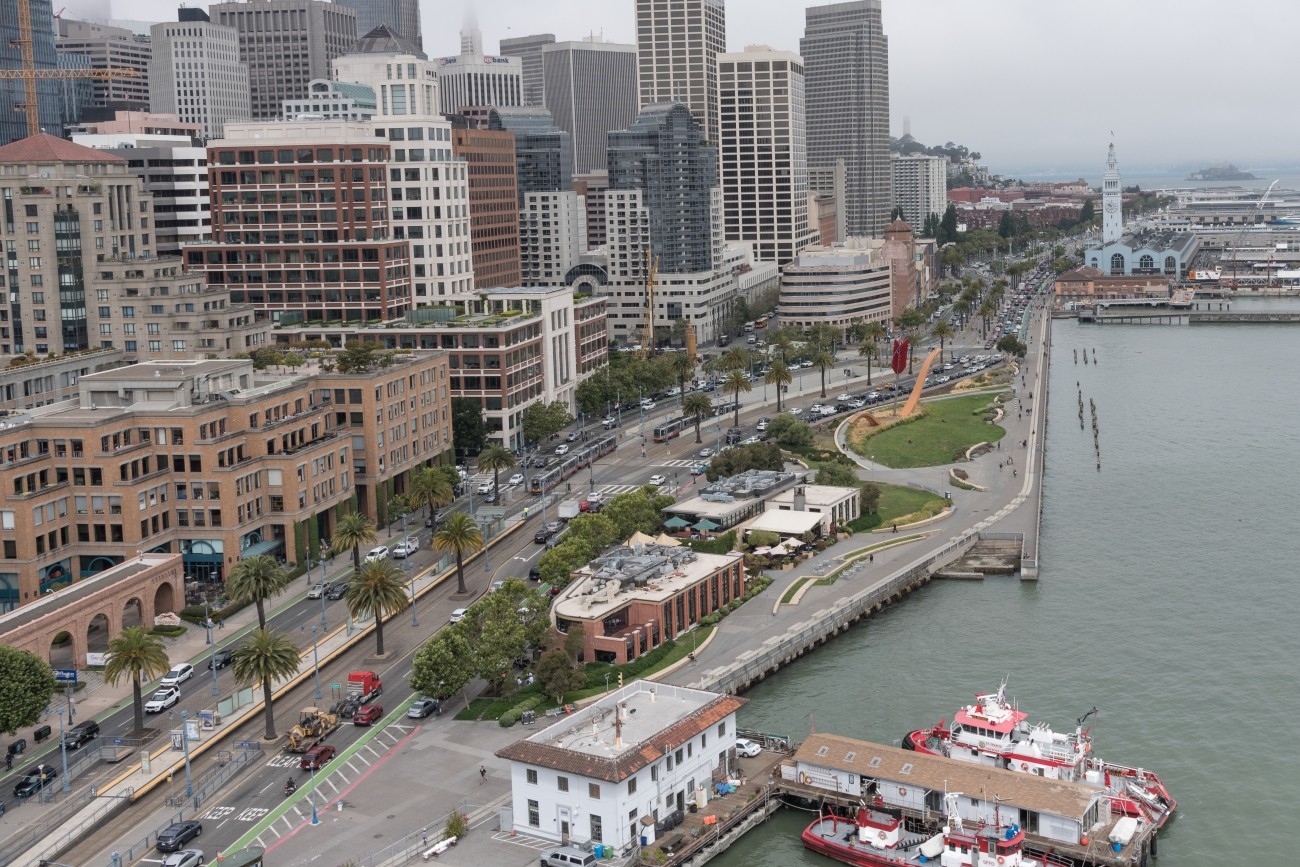
Released in 2015, the SFMTA-led Waterfront Transportation Assessment analyzed transportation investments needed order to meet the needs of our growing city.
Image
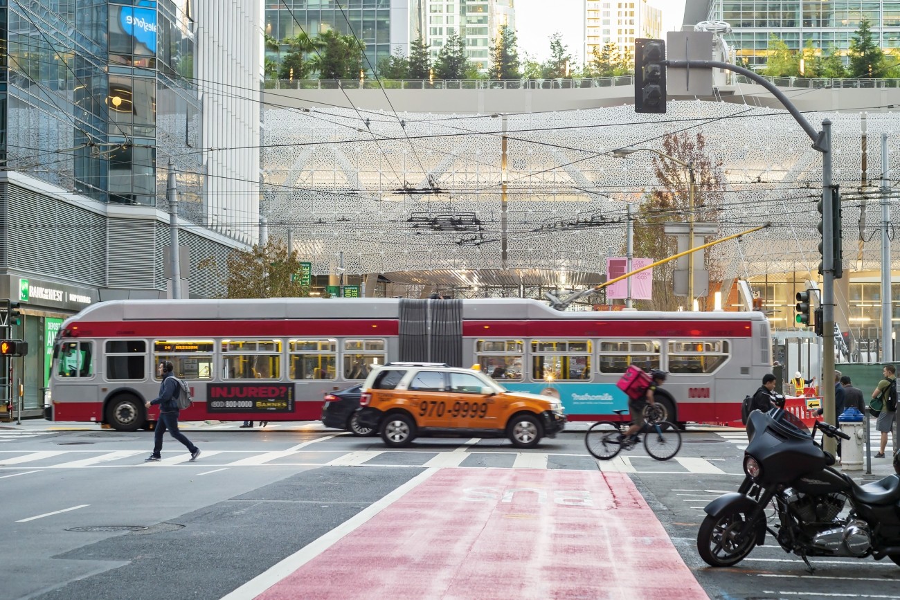
This report provides the first comprehensive analysis of how Transportation Network Companies Uber and Lyft collectively have affected roadway congestion in San Francisco.
Image
The Salesforce Transit Center is San Francisco’s new regional transit hub.
Image
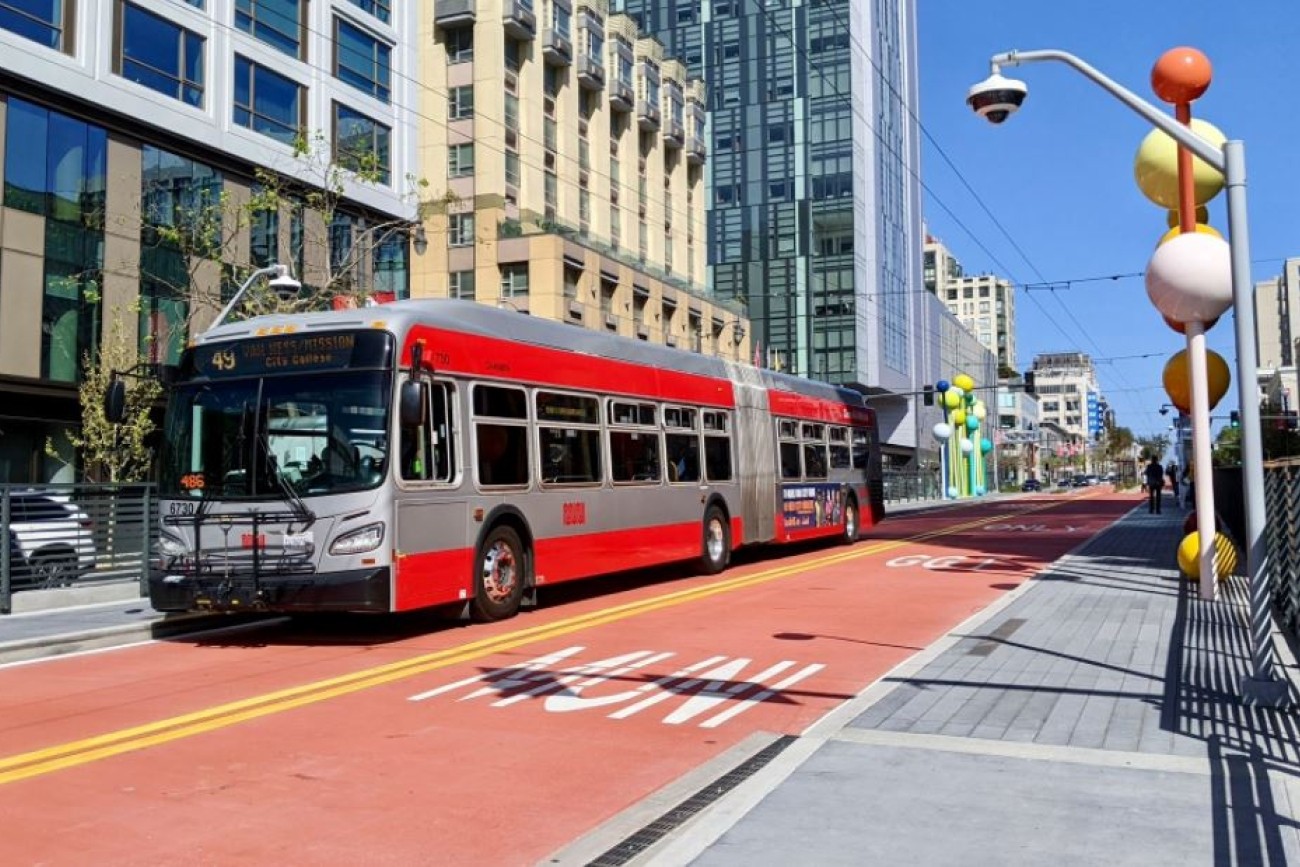
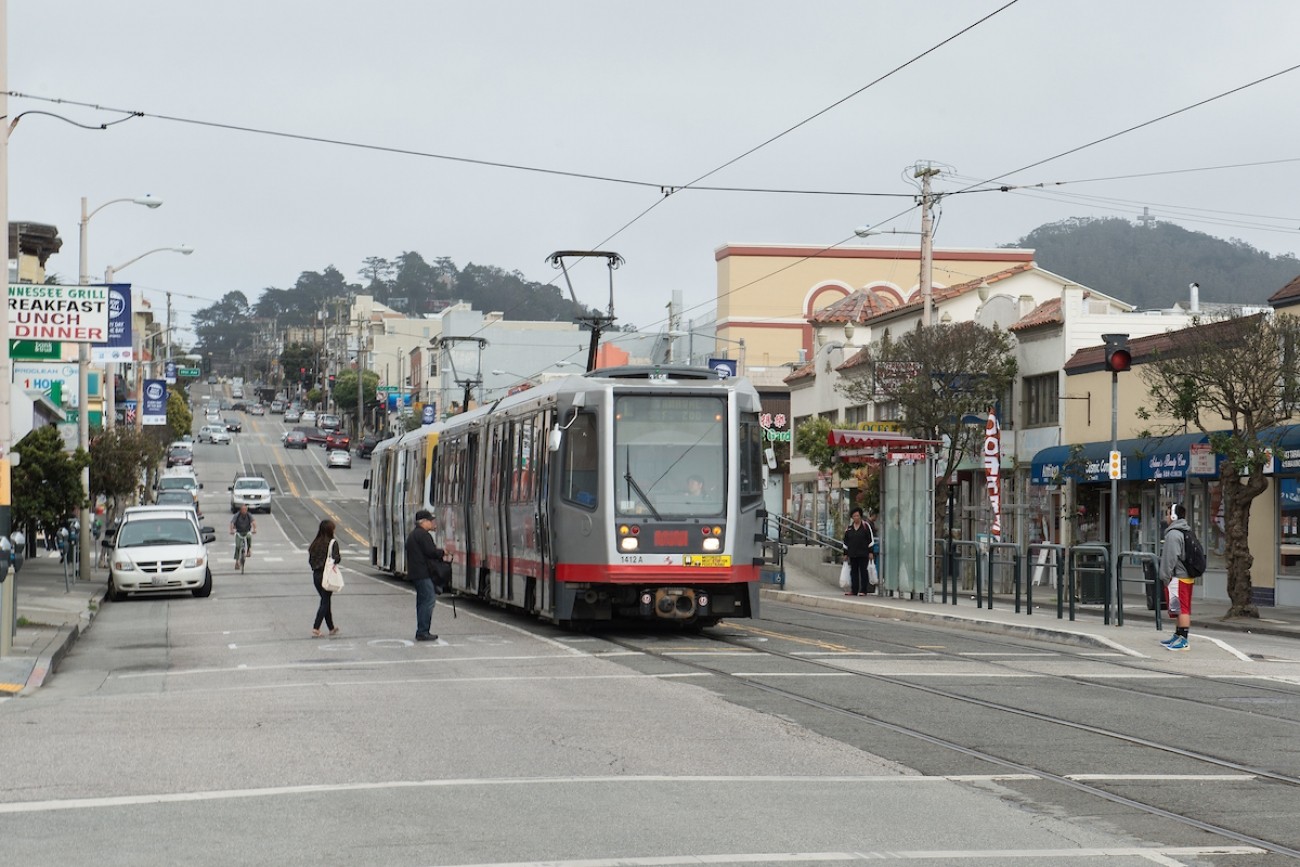
The Van Ness Improvement Project is bringing San Francisco its first Bus Rapid Transit system.
Image
This report provides an overview of existing state and local regulatory frameworks focusing on ride-hail companies, also known as TNCs.
Image
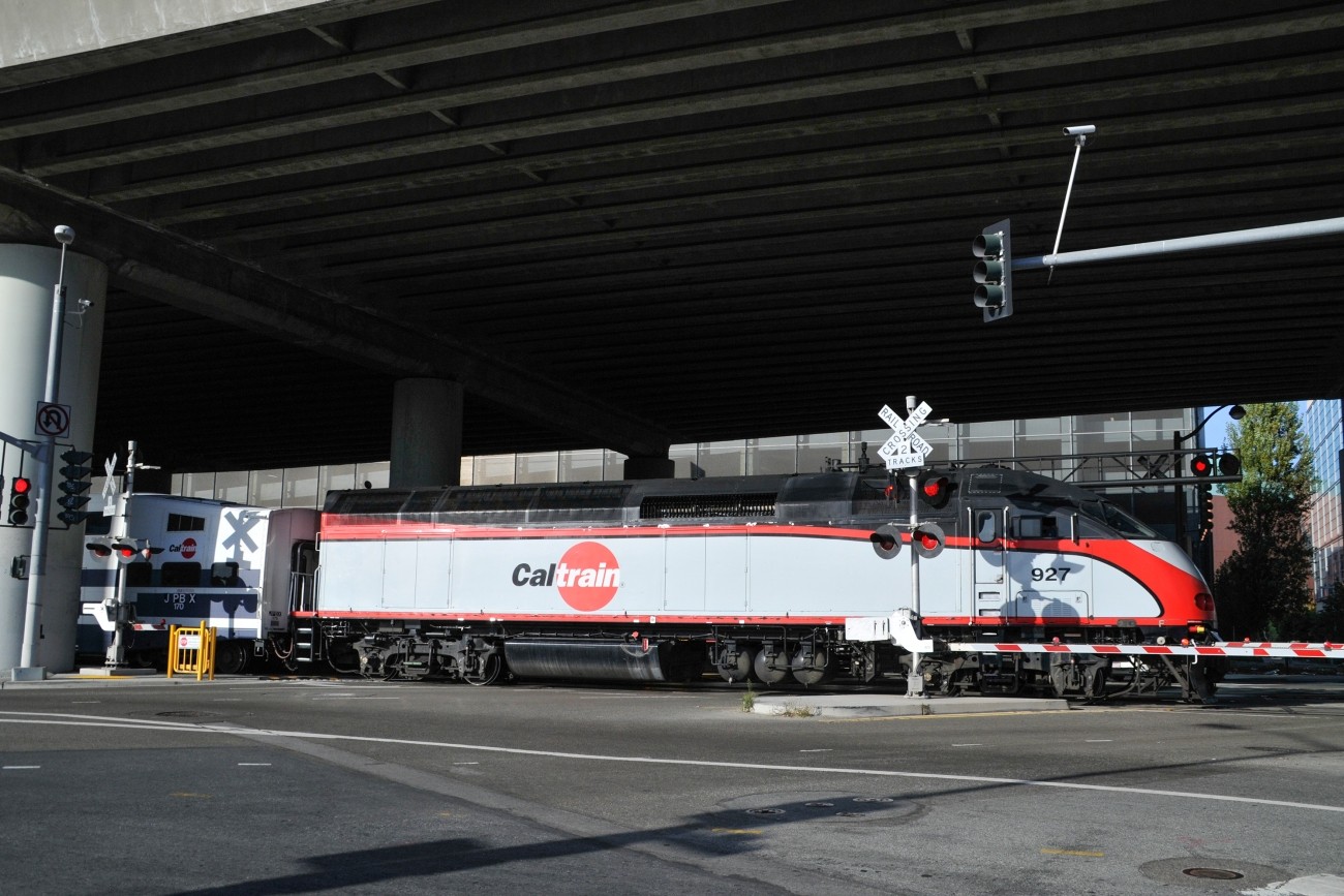
The Pennsylvania Avenue Extension project will support future uninterrupted passenger rail service through San Francisco.
Image
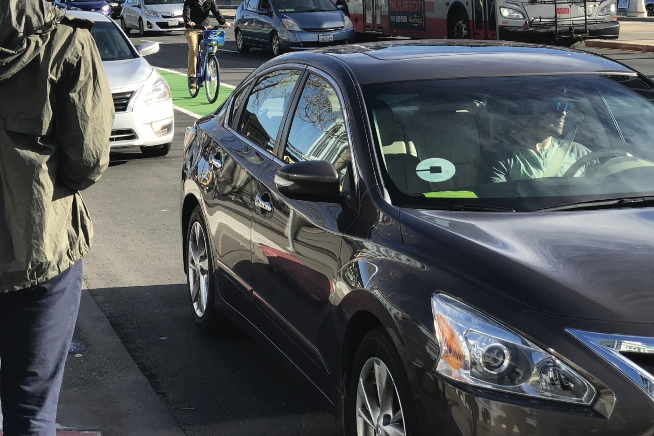
This report provides the first comprehensive estimates of Uber and Lyft activity in the city.