Image
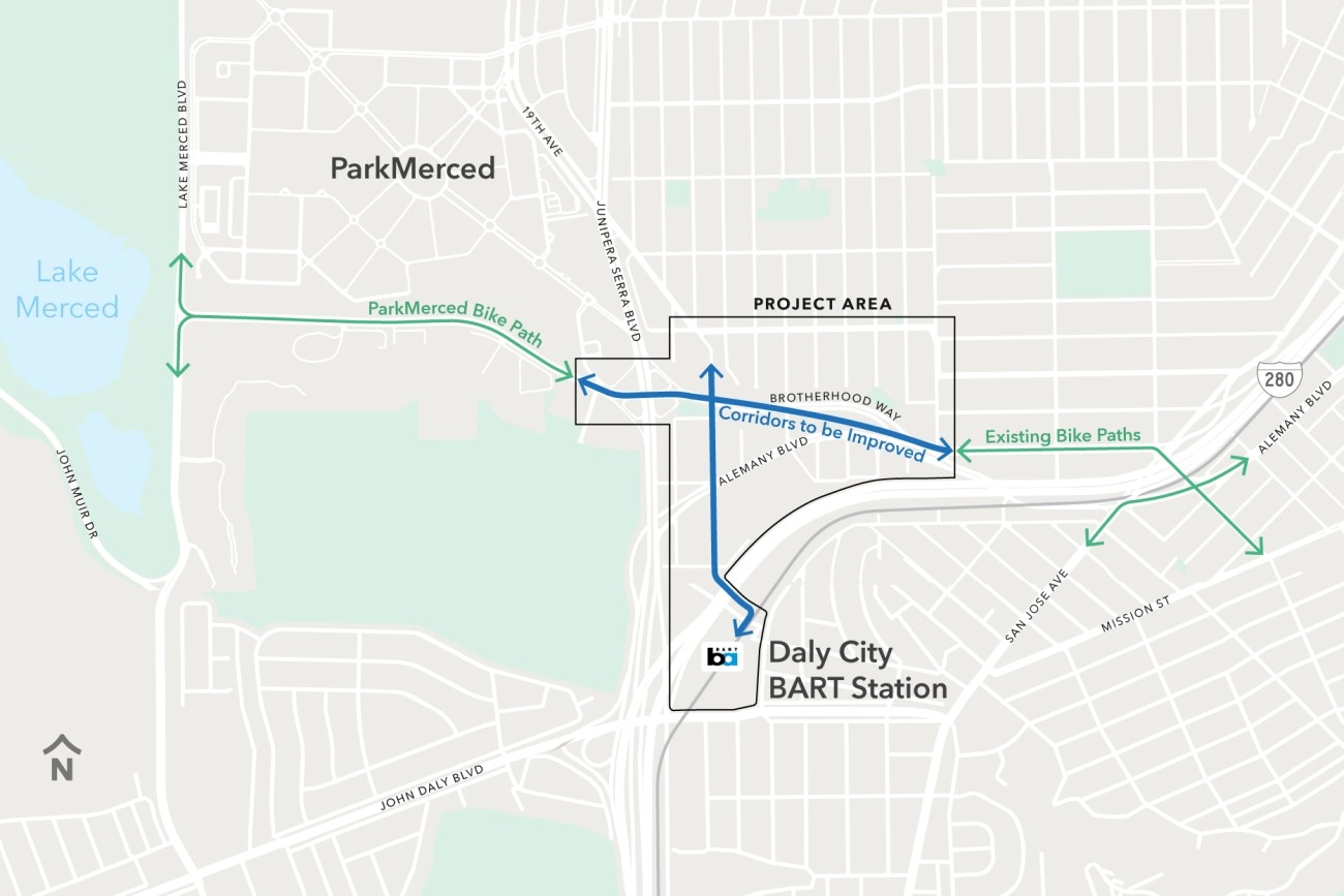
The Brotherhood Way Safety and Circulation Plan will develop near- and long-term concepts to improve safety, circulation, and connectivity through the Brotherhood Way and Alemany Boulevard corridors and on surrounding streets.
Image
The Transportation Authority is developing a business plan that will define an on-demand community shuttle service within District 4.
Image
Updated every four years, the San Francisco Transportation Plan is the blueprint for the city's transportation system development and investment over the next 30 years.
Image
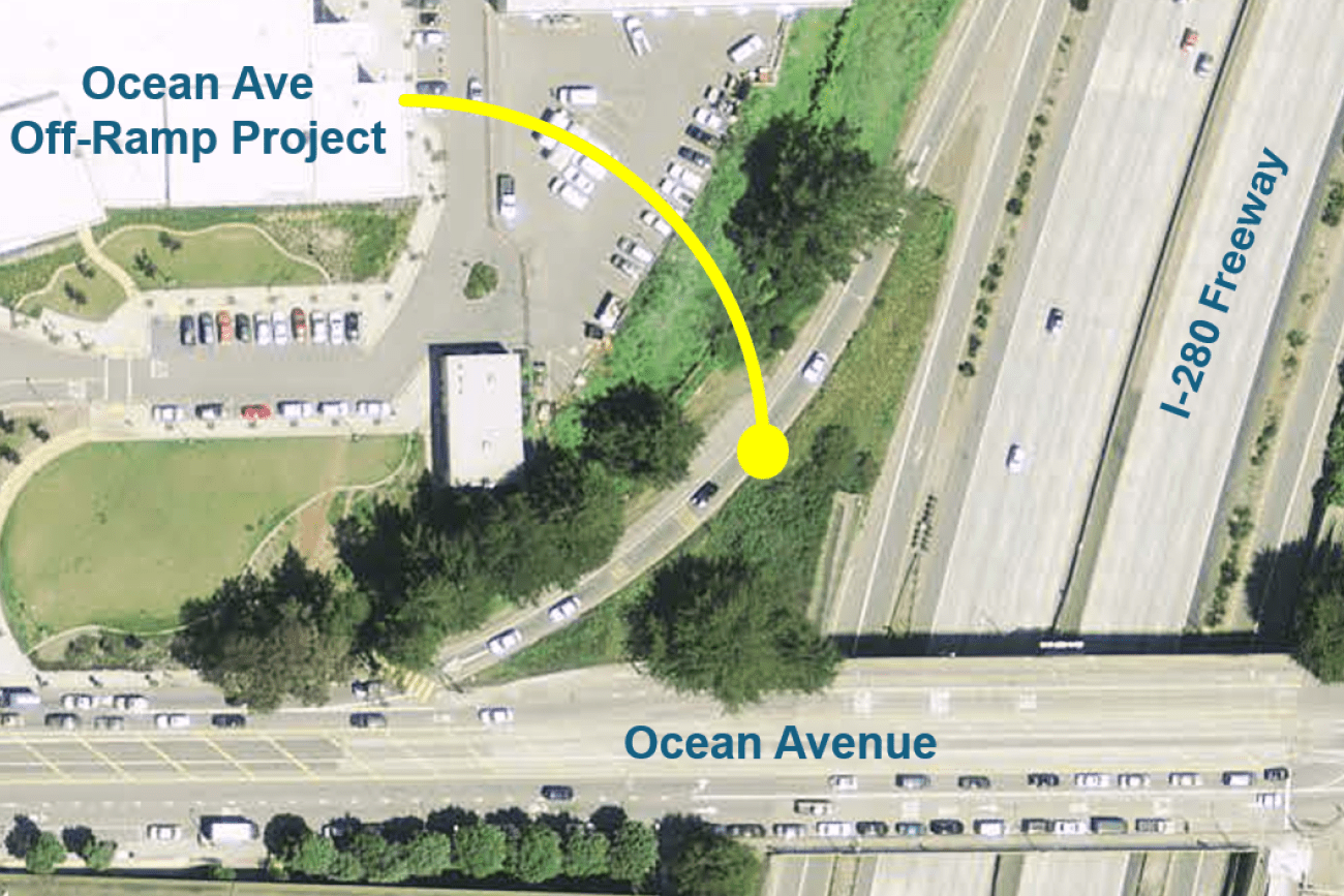
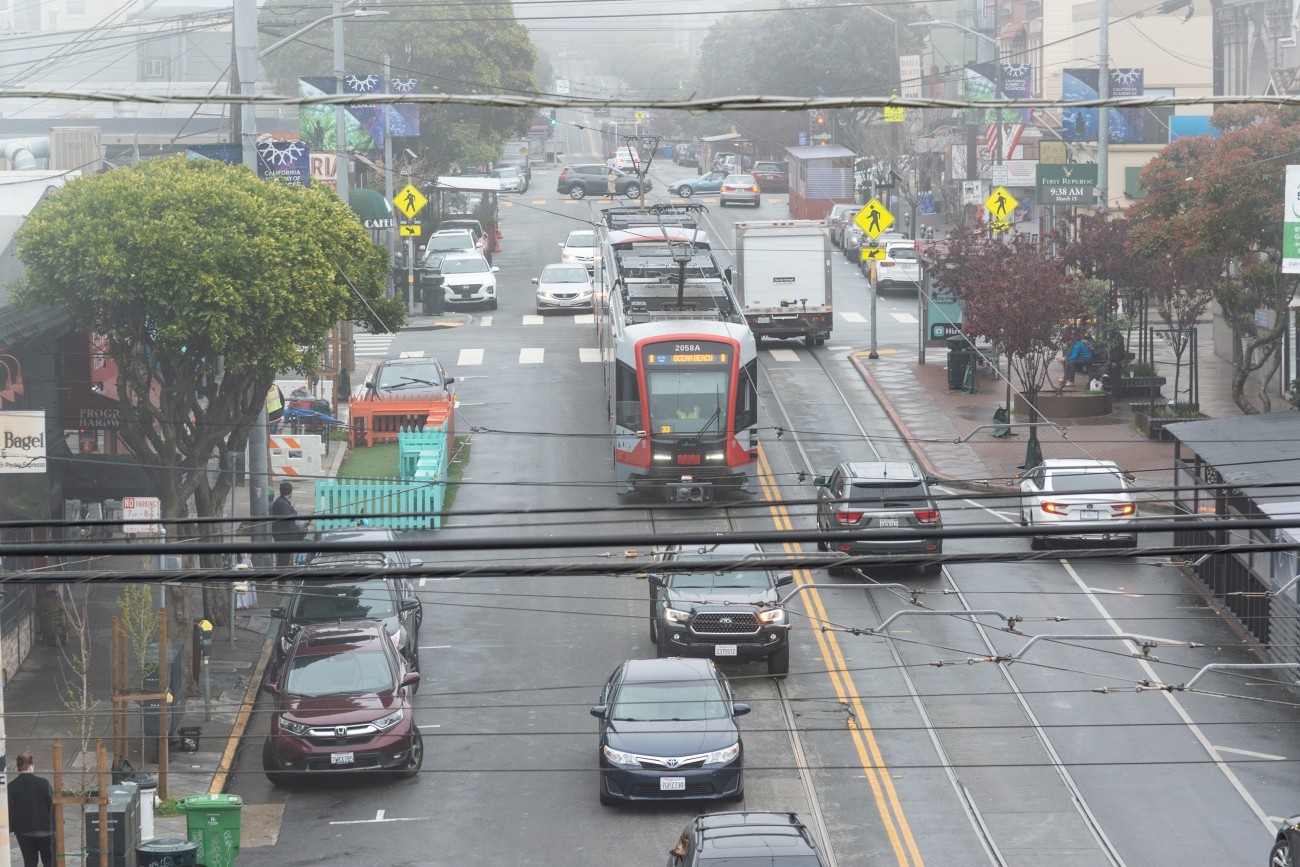
The project will improve pedestrian and bicyclist safety at the Ocean Avenue Off-Ramp intersection by realigning the free-flow right turn off-ramp into a T-intersection and install a traffic signal.
Image
This study will identify a prioritized short list of recommendations to improve multimodal traffic safety and access in the Inner Sunset commercial core area in District 7.
Image
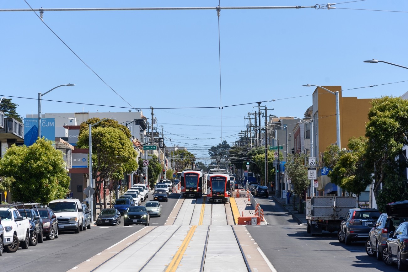
The Westside Network Study will analyze the multimodal westside transportation network and offer recommendations to ensure the network is meeting local needs now and into the future.
Image
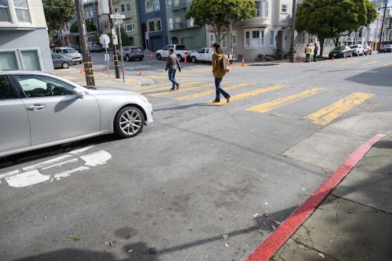
This project will implement red curb “daylighting” treatments at intersections throughout District 5 in accordance with AB 413, which prohibits vehicle parking within 20 feet of crosswalks. Once complete, District 5 will become the first fully daylit district in San Francisco.
Image
The project will develop transportation and land use concept designs that rethink the urban renewal-era Geary Expressway and advance a high-quality multimodal, mixed-use transit-oriented area to connect the Japantown and Fillmore/Western Addition neighborhoods and promote community livability.
Image
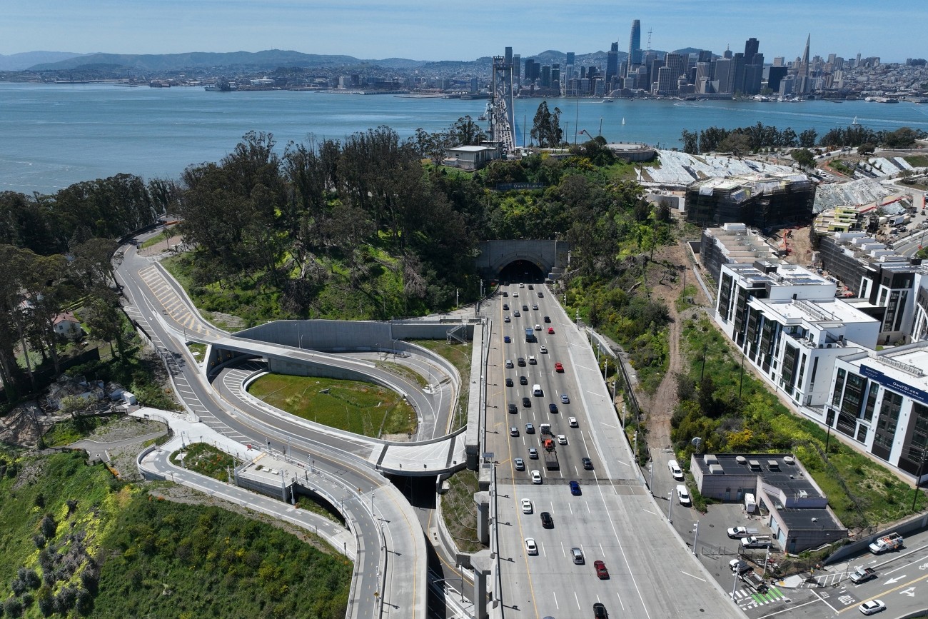
The project reconstructed the I-80 eastbound off-ramp to Yerba Buena Island. The project features an innovative design that enhances safety and circulation. The project was completed in 2023 and reopened to traffic.
Image
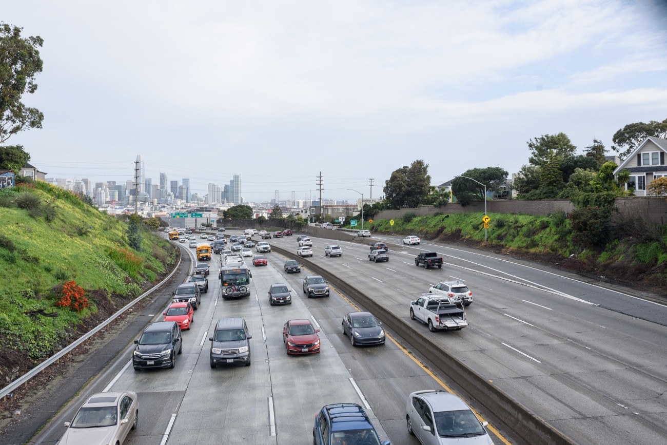
The Vision Zero Freeway Ramps Study will identify improvements for 11 freeway ramps across District 7, District 9, District 10, and District 11 to improve safety and connectivity.
Image
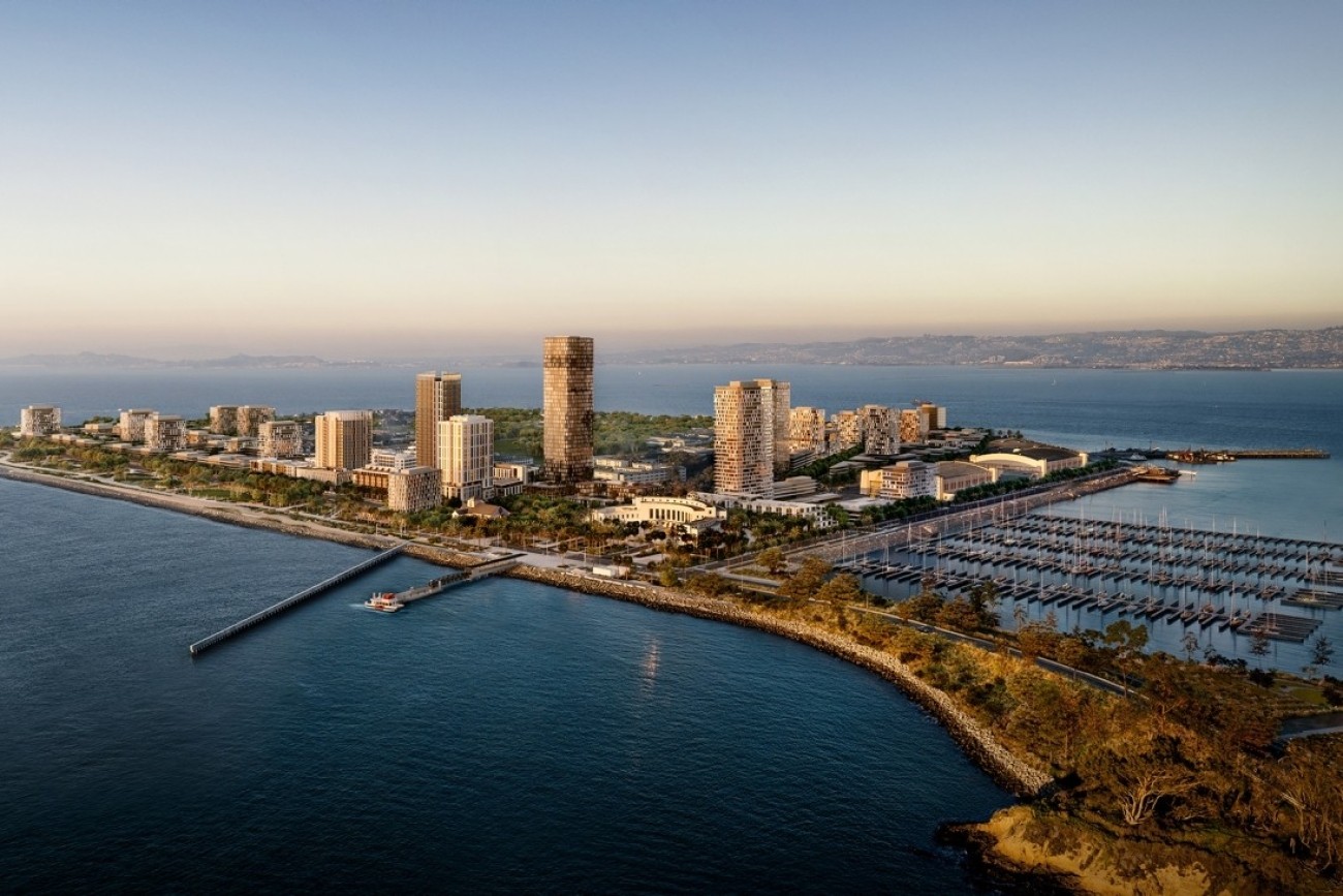
The Treasure Island Transportation Program will address the island's growing transportation needs with a goal to have at least 50 percent of trips made by transit instead of private vehicles.
Image
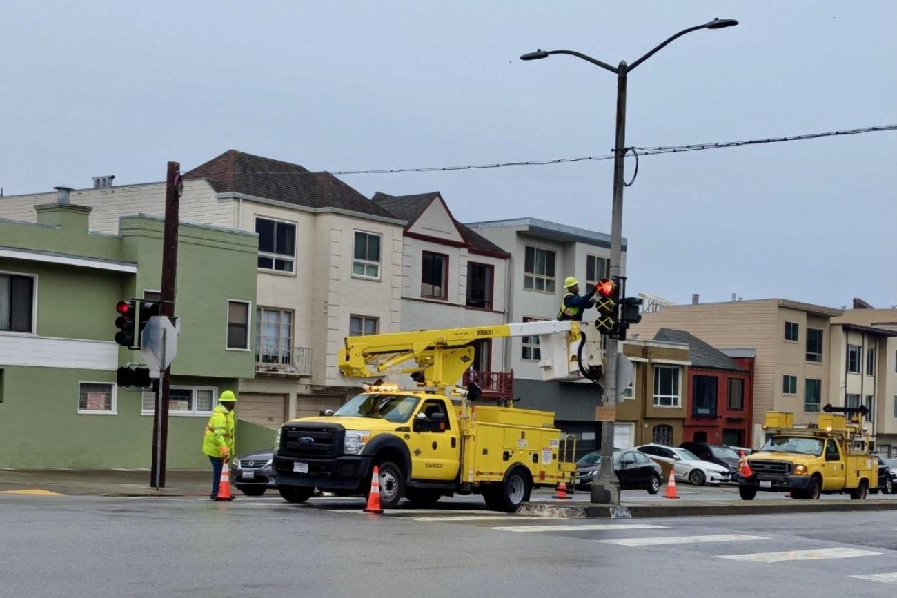
The requested funds for this project will be used for the design phase for new traffic signals at 45th Avenue/Lincoln Way and La Playa Street/Lincoln Way to improve safety and right-of-way allocation, and to reduce vehicle and transit delays associated with the upcoming closure to restrict vehicles on Great Highway due to the passage of Proposition K in November 2024. The scope of work includes all necessary signal infrastructure including new 12” signal heads and mast arms, new signal poles, pedestrian countdown signals, accessible pedestrian signals, and related infrastructure such as curb ramps.
Image
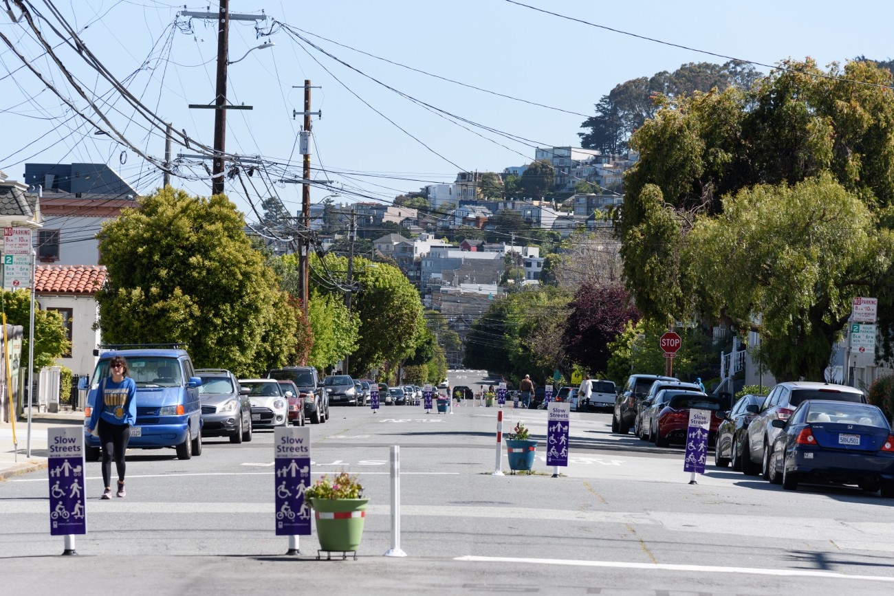
The Duboce Triangle Slow Streets Study will examine opportunities for a more robust, safe, and comfortable north-south bicycle connection through the Duboce Triangle neighborhood, as well as potentially revising vehicle turn restrictions at the Market St/Castro St and Market St/Noe St. intersections, including traffic and circulation analysis of potential changes to street configurations. The study will explore the feasibility of converting existing Class III shared lane bikeways on Sanchez St and Steiner St into Slow Streets, possibly replacing or adding to the existing Noe Slow Street.
Image
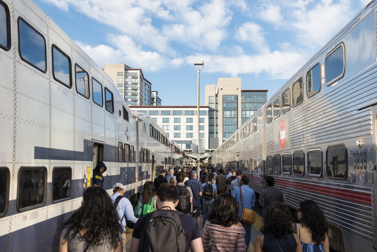
The Downtown Extension is a plan to extend Caltrain and future California High-Speed Rail service from 4th and King rail yard to the newly-constructed Salesforce Transit Center.
Image
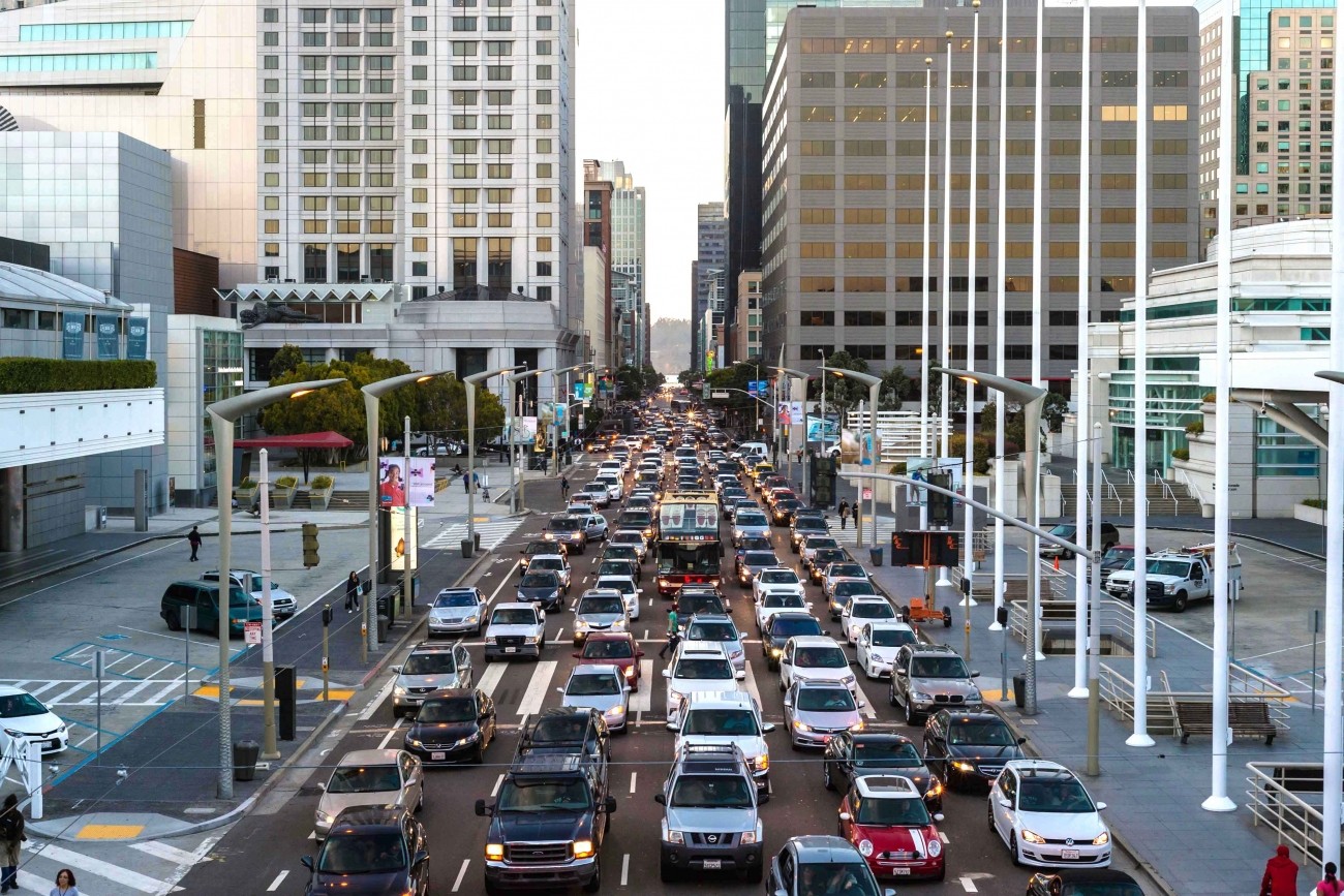
As San Francisco's Congestion Management Agency, we monitor activity on our city's transportation network and adopt plans for mitigating traffic congestion.