Image
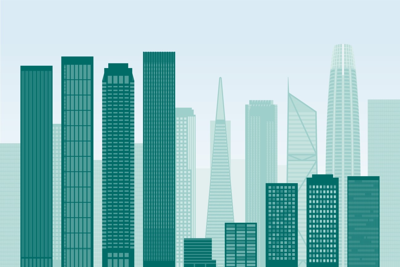
San Francisco’s downtown has experienced profound changes since the COVID-19 pandemic and the report focuses on a profile of the northeast sector in 2023-2024.
Image
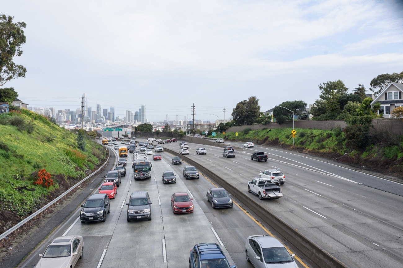
The Vision Zero Freeway Ramps Study will identify improvements for 11 freeway ramps across District 7, District 9, District 10, and District 11 to improve safety and connectivity.
Image
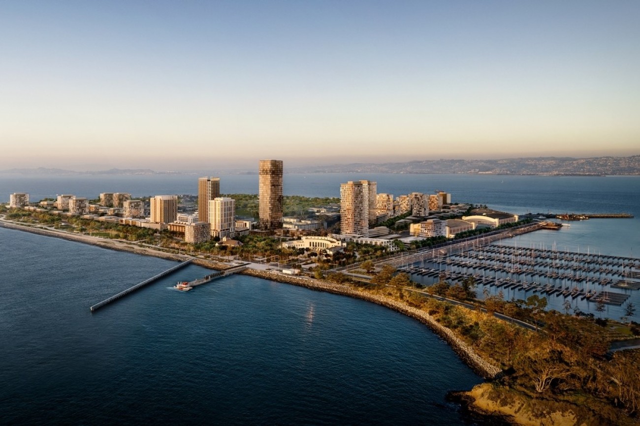
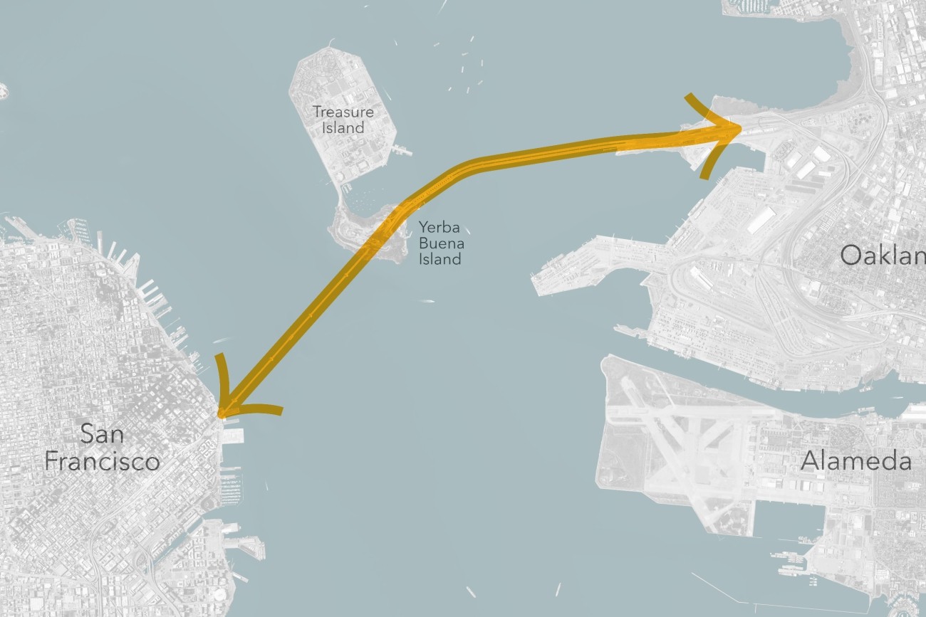
The Treasure Island Transportation Program will address the island's growing transportation needs with a goal to have at least 50 percent of trips made by transit instead of private vehicles.
Image
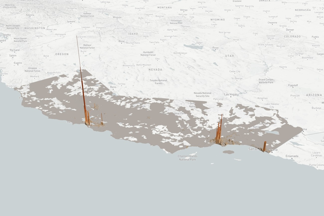
TNCs 2020: A Profile of Ride-Hailing in California is the first comprehensive study of ride-hailing activity statewide, based on an analysis of annual reports filed by Uber and Lyft to the California Public Utilities Commission.
Image
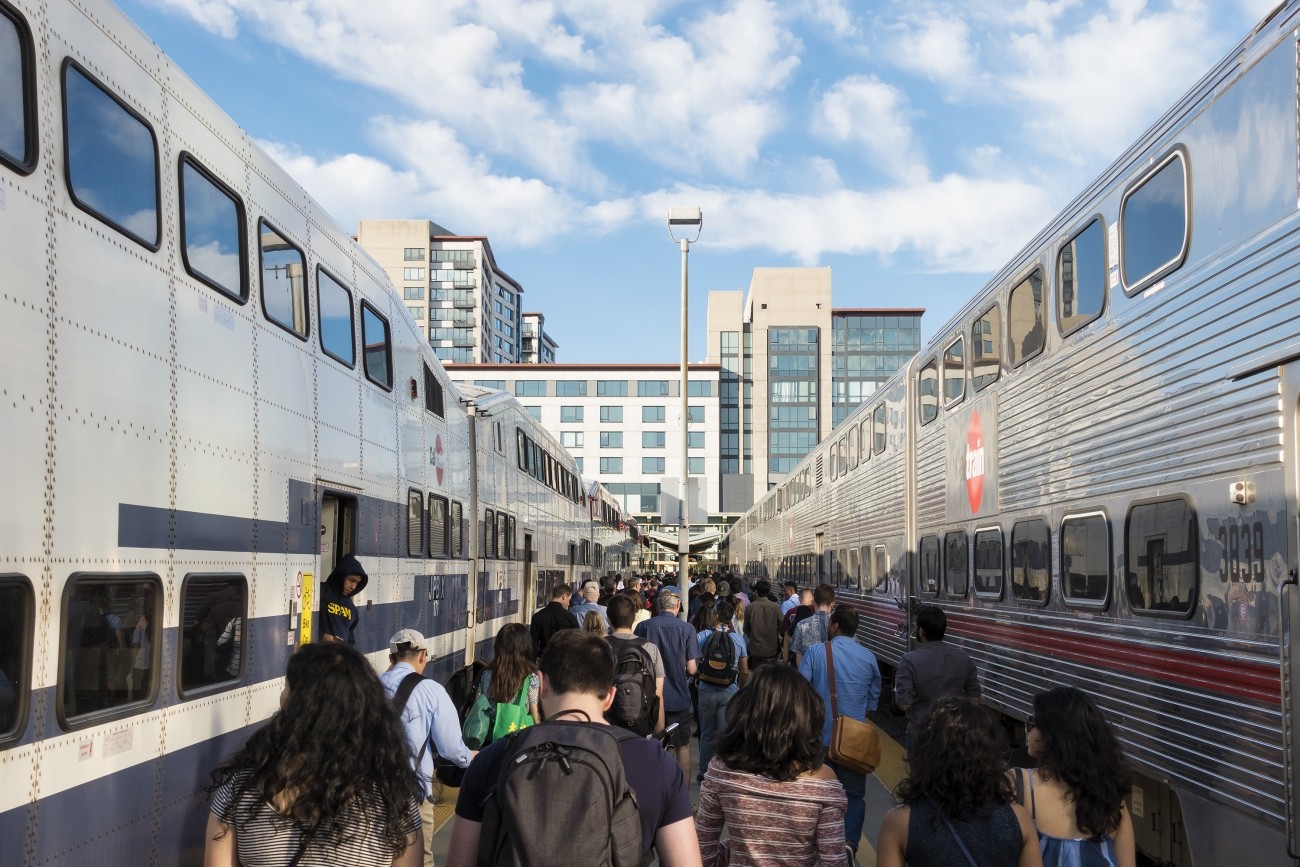
The Downtown Extension is a plan to extend Caltrain and future California High-Speed Rail service from 4th and King rail yard to the newly-constructed Salesforce Transit Center.
Image
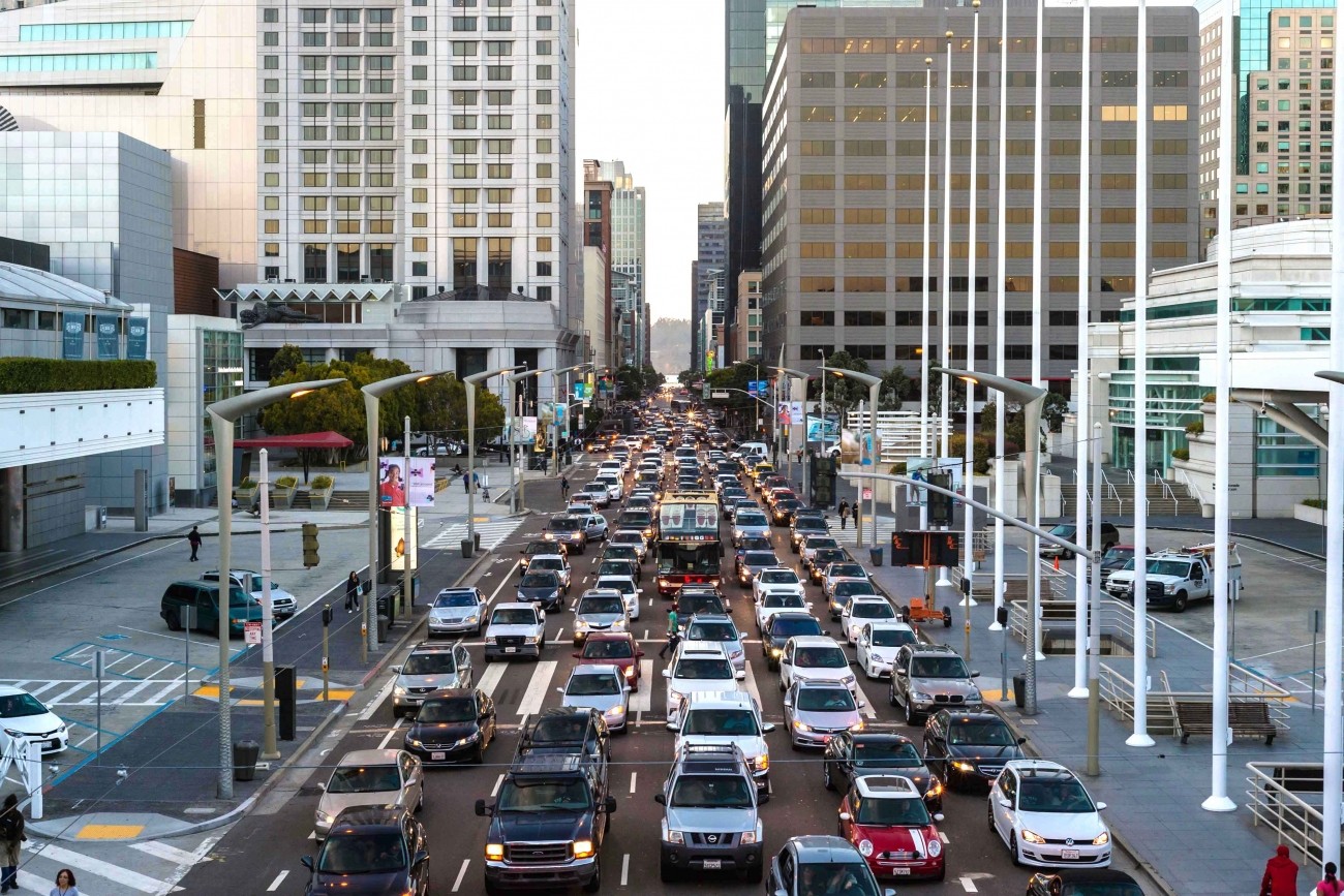
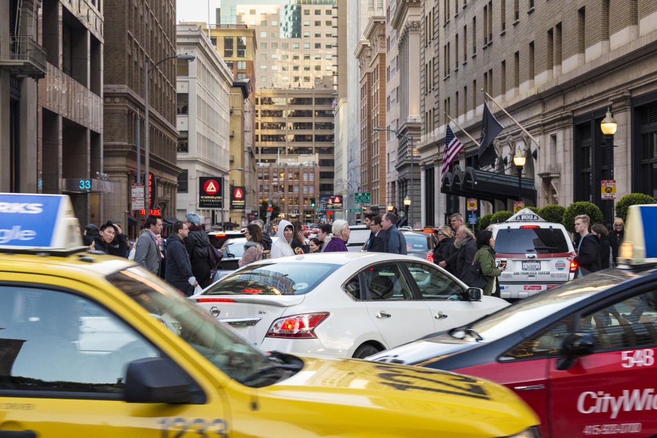
As San Francisco's Congestion Management Agency, we monitor activity on our city's transportation network and adopt plans for mitigating traffic congestion.
Image
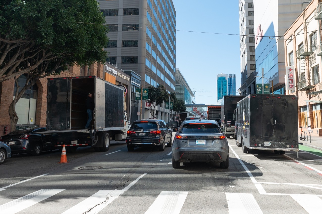
This study aims to convene a working group to identify low- and zero-emission delivery approaches in the broader downtown area.
Image
Image
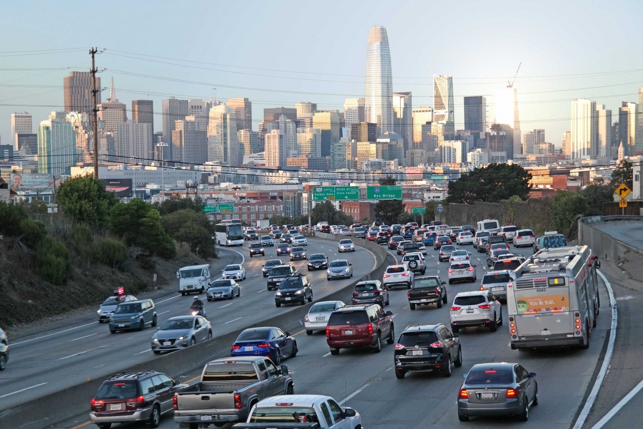
The study will consider managed lane alternatives, including priced lane and priced facility options, for freeways within San Francisco (Central Freeway, I-80, U.S. 101, I-280) with the goals of reducing vehicle miles traveled, increasing person throughput, and improving transit reliability.
Image
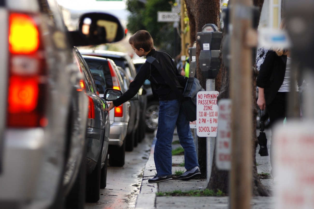
The Transportation Authority is creating a School Access Plan for San Francisco to recommend transportation solutions for K-5 students and their families.
Image
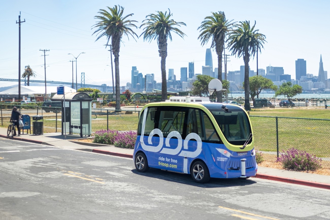
The Treasure Island Mobility Management Agency launched an autonomous shuttle service on Treasure Island from August to December 2023 to better understand how such a service could meet the needs of people traveling around the neighborhood.
Image
The Transbay Comprehensive Multimodal Corridor Plan Supplement presents a holistic approach for managing congestion, improving safety, and maximizing traffoc flow for all travel modes and incorporates measures to reduce air pollution and greenhouse gases.
Image
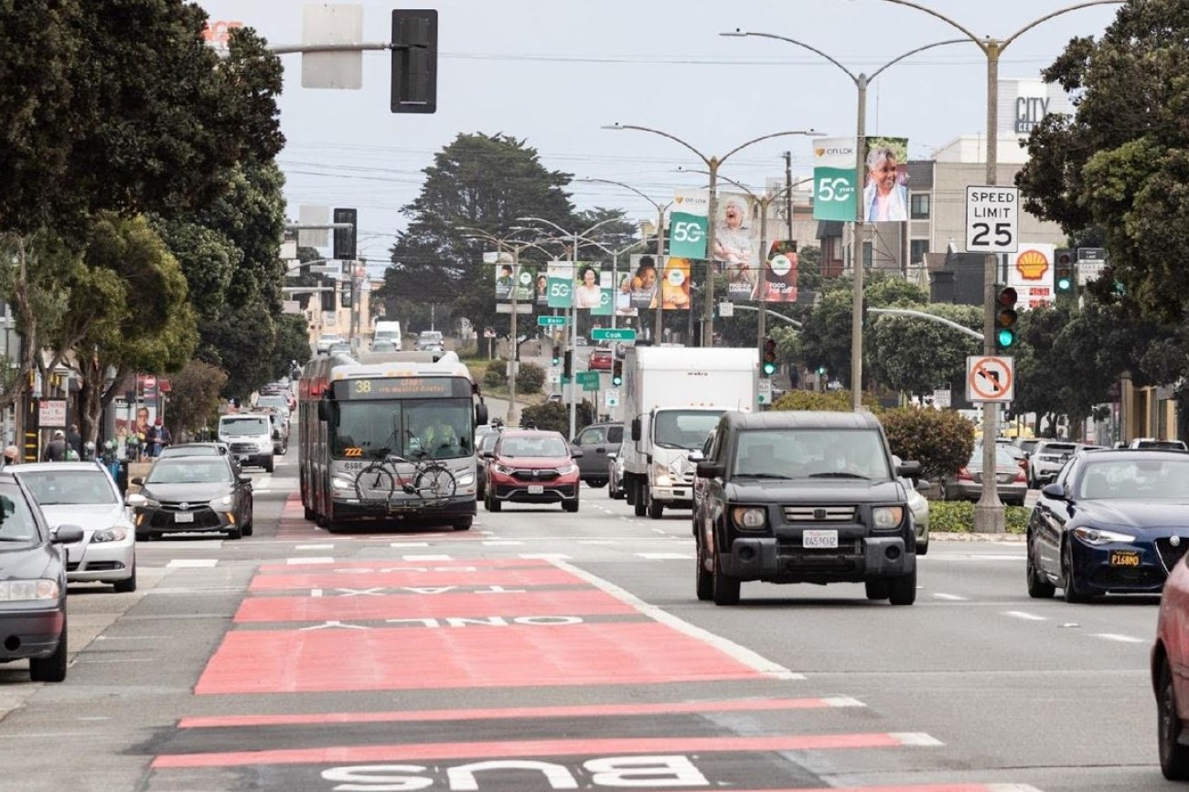
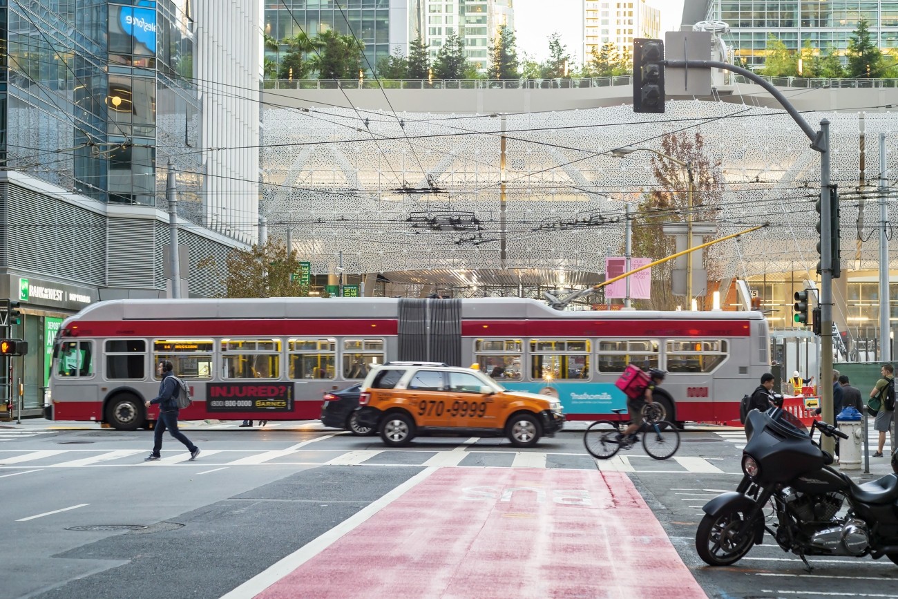
Geary Bus Rapid Transit will improve Geary Boulevard with much-needed safety improvements and faster, more reliable bus service for the tens of thousands of people who use the 38 Geary and 38R Geary Rapid bus routes every day. Project improvements include red bus-only lanes, signal priority for buses, and safety improvements such as sidewalk extensions and accessible curb ramps.
Image
Congestion pricing would involve charging drivers a fee to drive in specific congested areas of downtown to keep traffic and transit moving.
Image
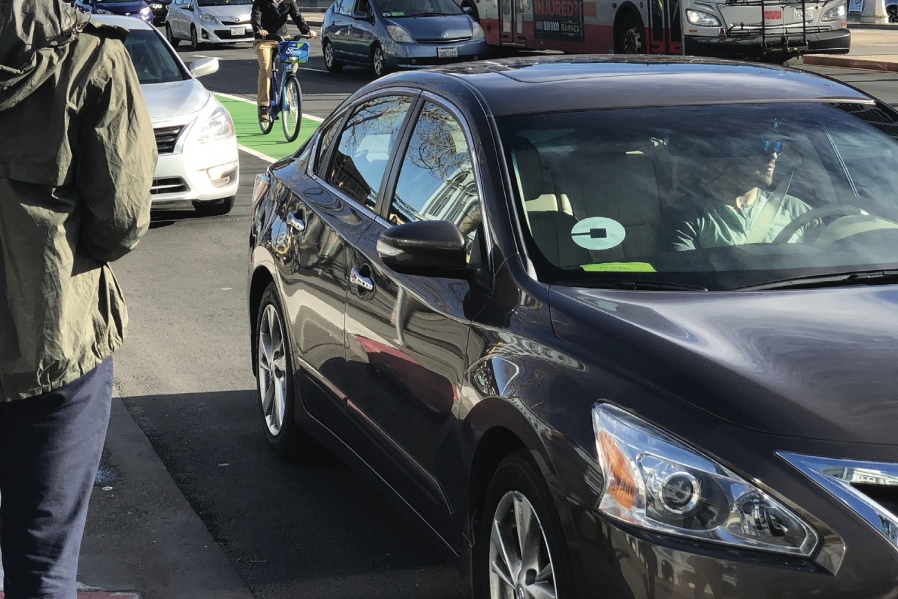
This report provides the first comprehensive estimates of Uber and Lyft activity in the city.