Image
The study will focus on the first phase of planning and development.
Image
Updated every four years, the San Francisco Transportation Plan is the blueprint for the city's transportation system development and investment over the next 30 years.
Image
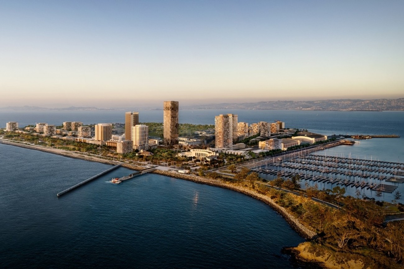
The Treasure Island Transportation Program will address the island's growing transportation needs with a goal to have at least 50 percent of trips made by transit instead of private vehicles.
Image
The Transportation Authority is developing a business plan that will define an on-demand community shuttle service within District 4.
Image
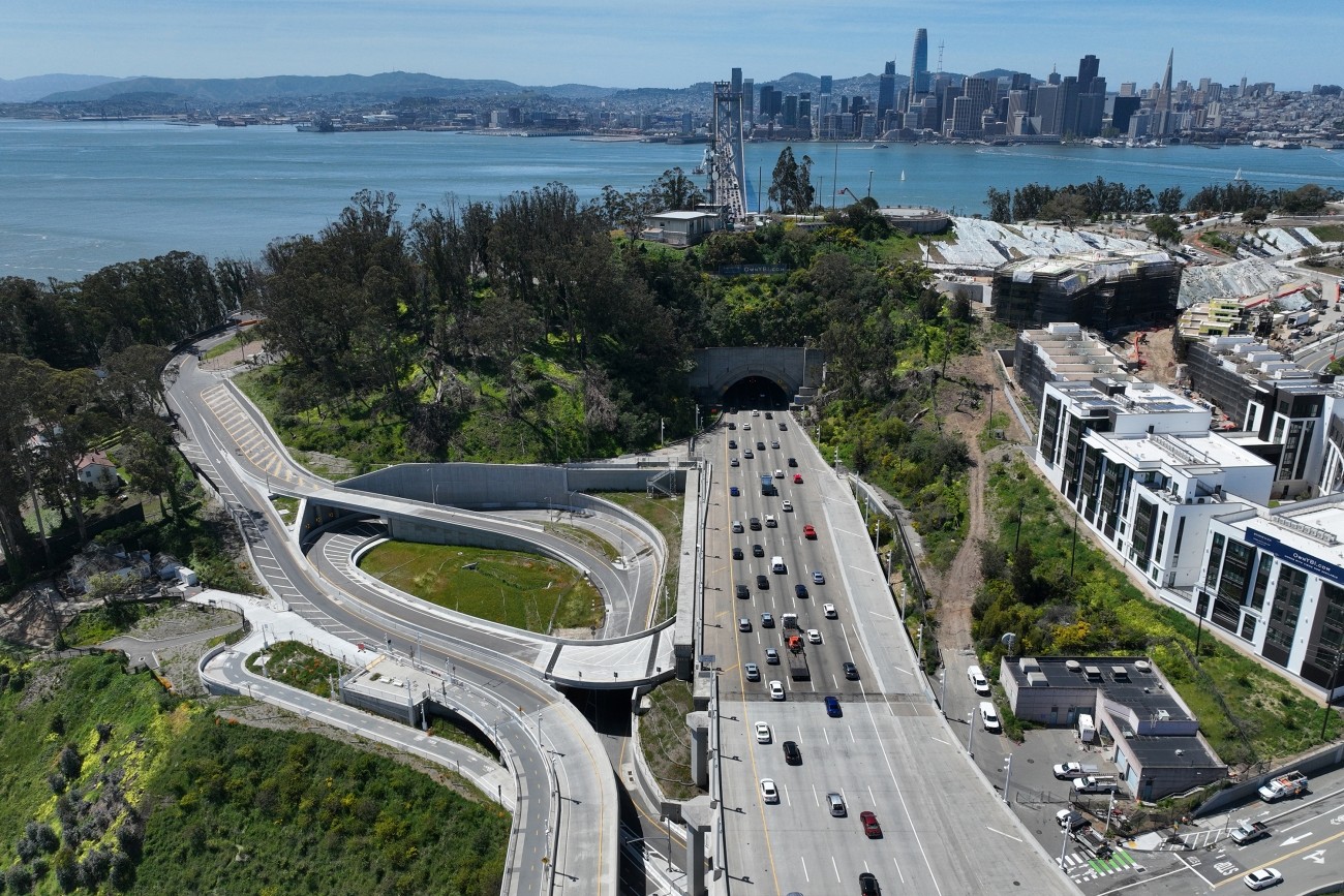
The project reconstructed the I-80 eastbound off-ramp to Yerba Buena Island. The project features an innovative design that enhances safety and circulation. The project was completed in 2023 and reopened to traffic.
Image
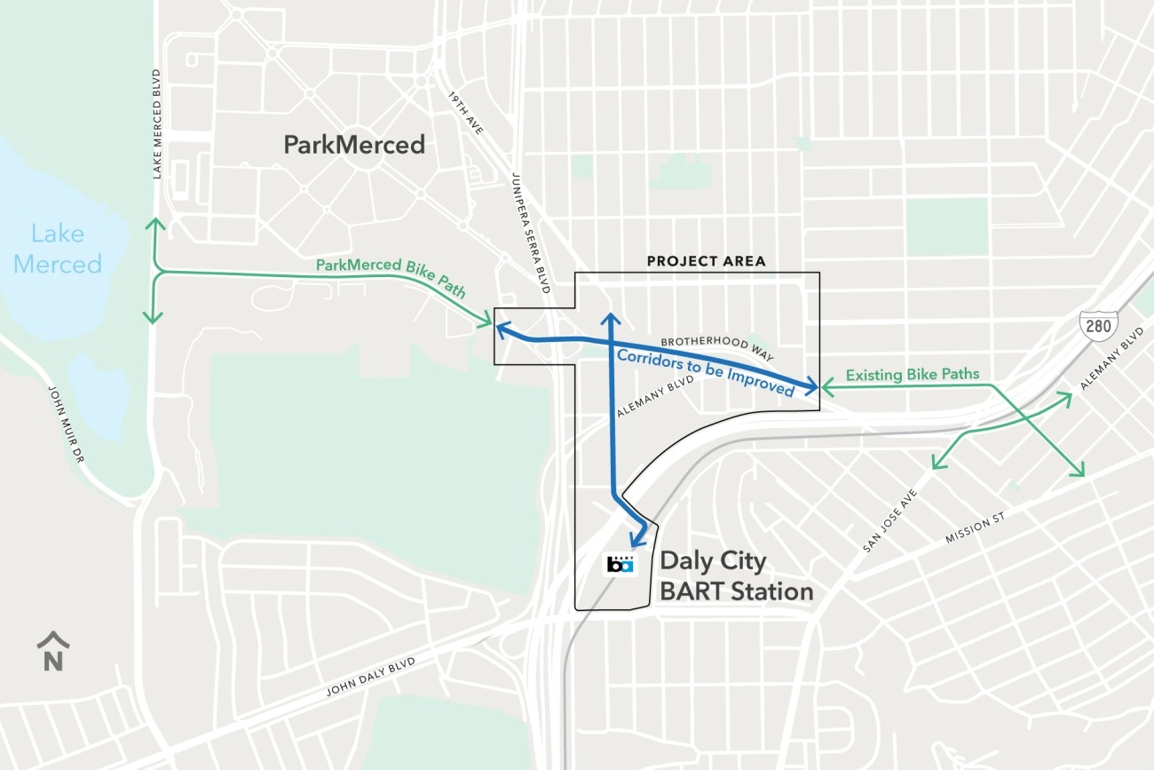
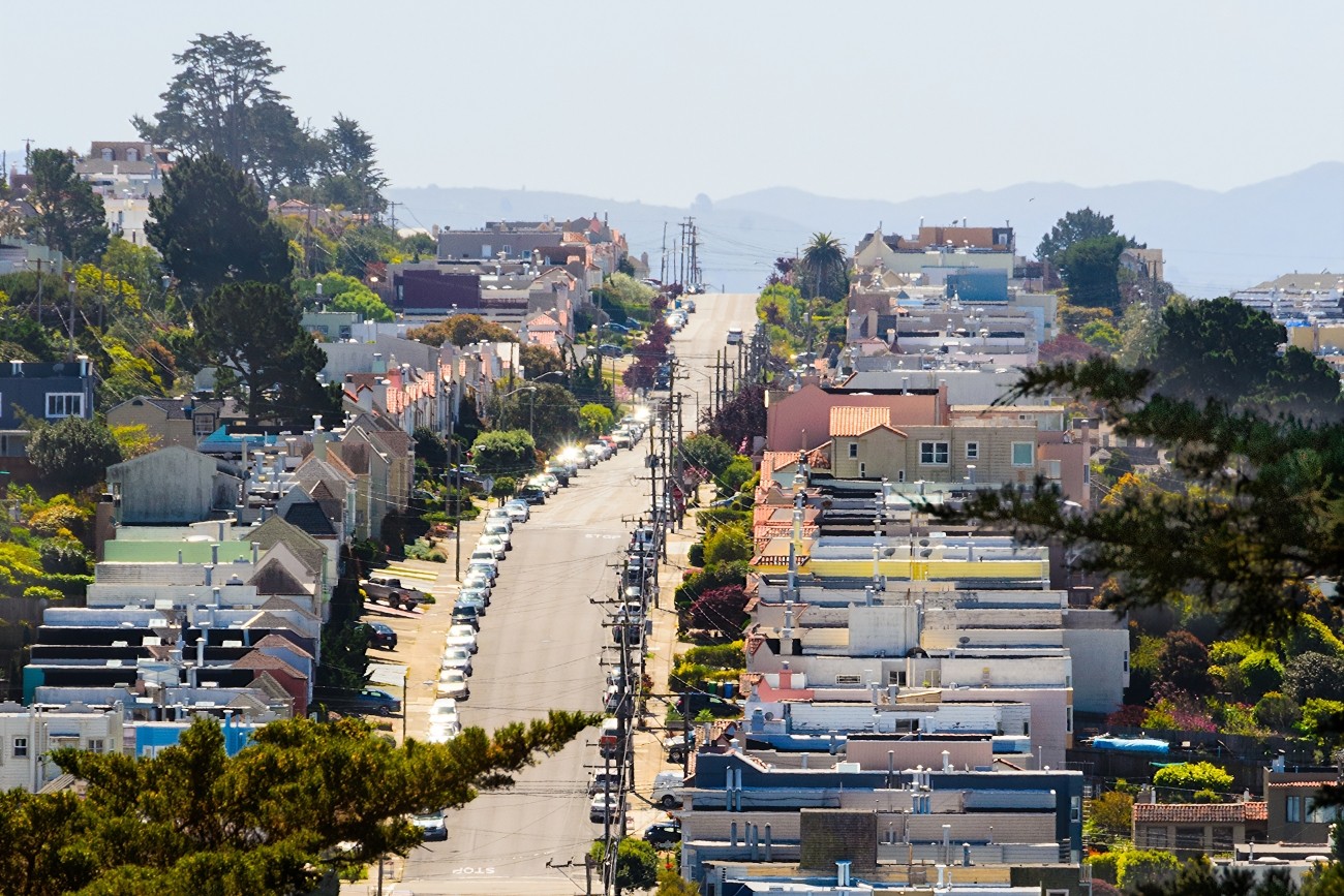
The Brotherhood Way Safety and Circulation Plan will develop near- and long-term concepts to improve safety, circulation, and connectivity through the Brotherhood Way and Alemany Boulevard corridors and on surrounding streets.
Image
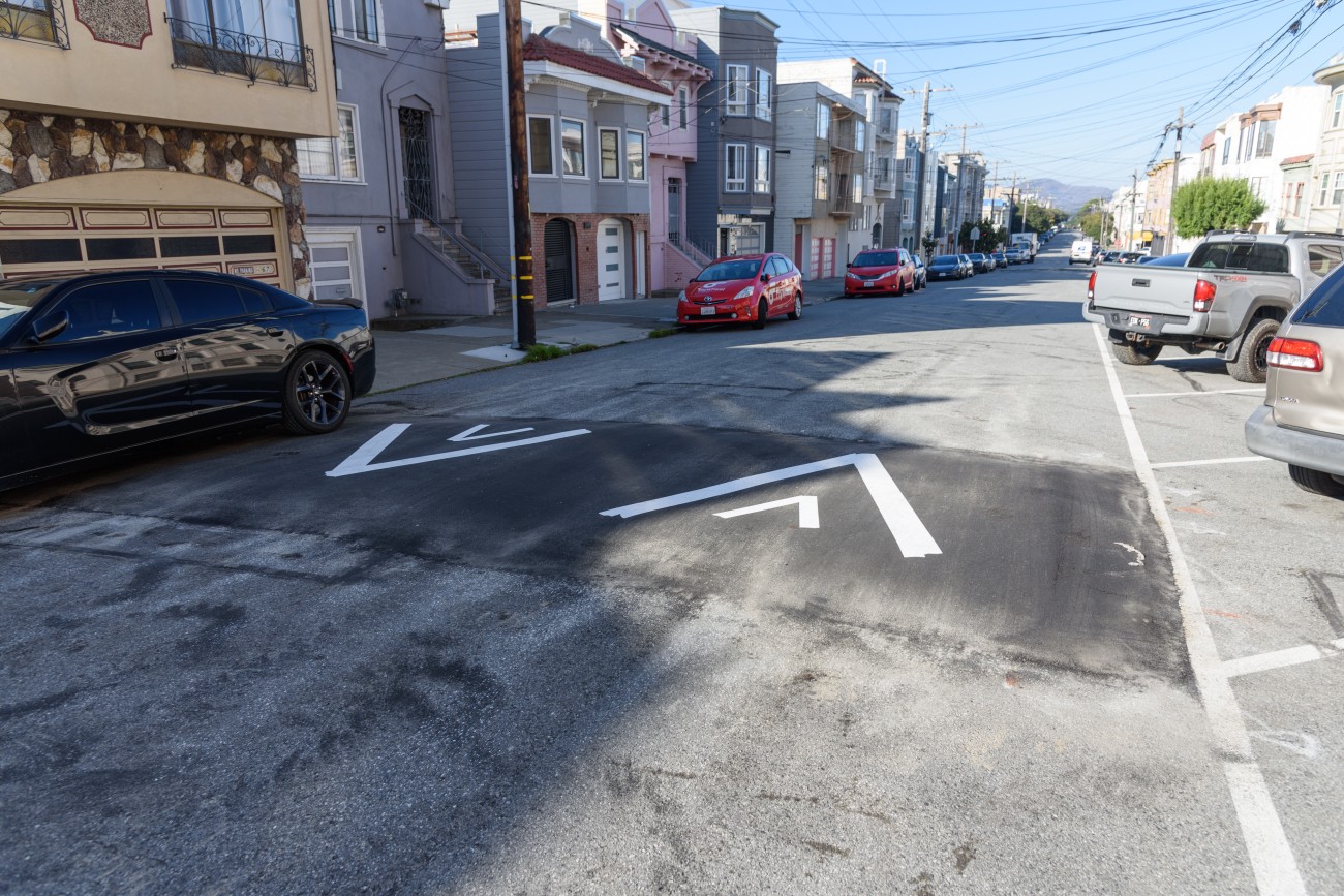
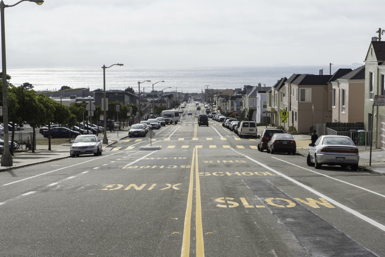
This project is implementing traffic calming and pedestrian safety treatments throughout District 5.
Image
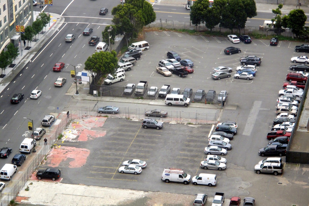
This study explored the effectiveness of parking-based approaches to manage traffic congestion in San Francisco.
Image
The Vision Zero Freeway Ramps Study will identify improvements for 11 freeway ramps across District 7, District 9, District 10, and District 11 to improve safety and connectivity.
Image
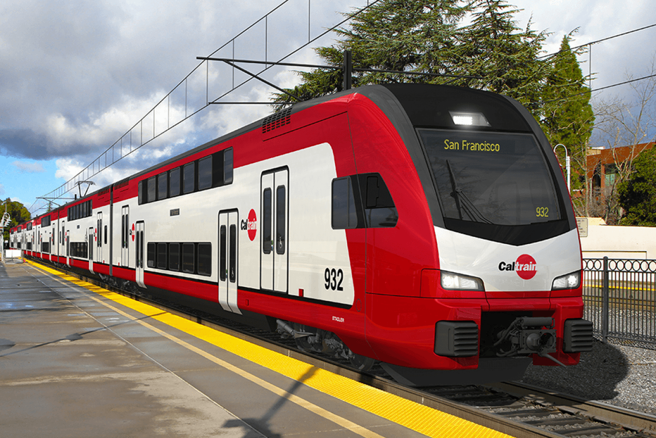
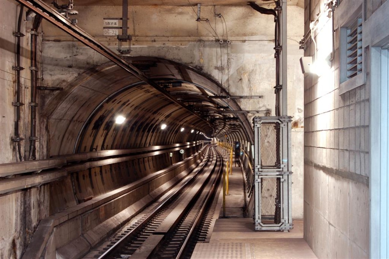
The Caltrain Electrification project brought fully electrified service to Caltrain.
Image
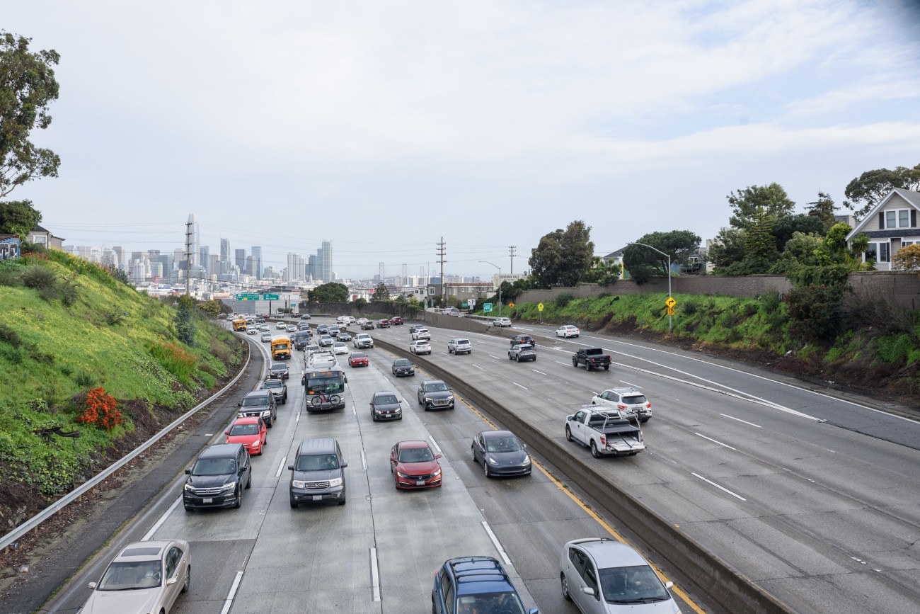
As San Francisco's Congestion Management Agency, we monitor activity on our city's transportation network and adopt plans for mitigating traffic congestion.
Image
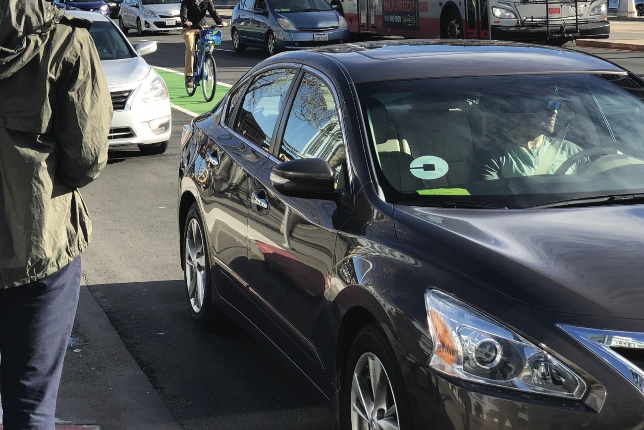
This report provides the first comprehensive estimates of Uber and Lyft activity in the city.
Image
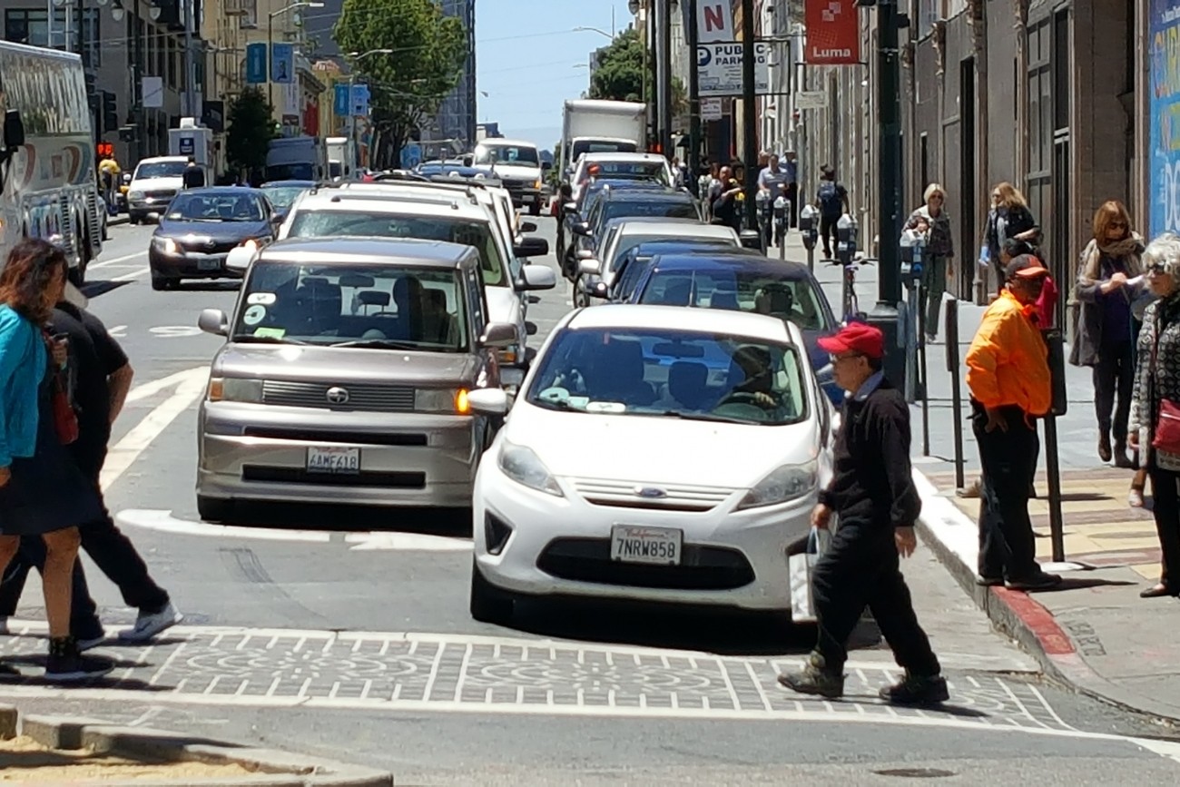
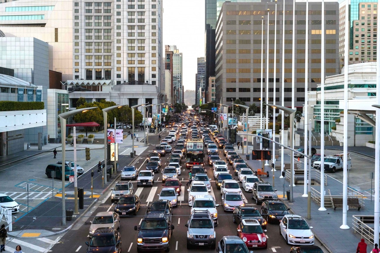
This report provides the first comprehensive analysis of how Transportation Network Companies Uber and Lyft collectively have affected roadway congestion in San Francisco.
Image
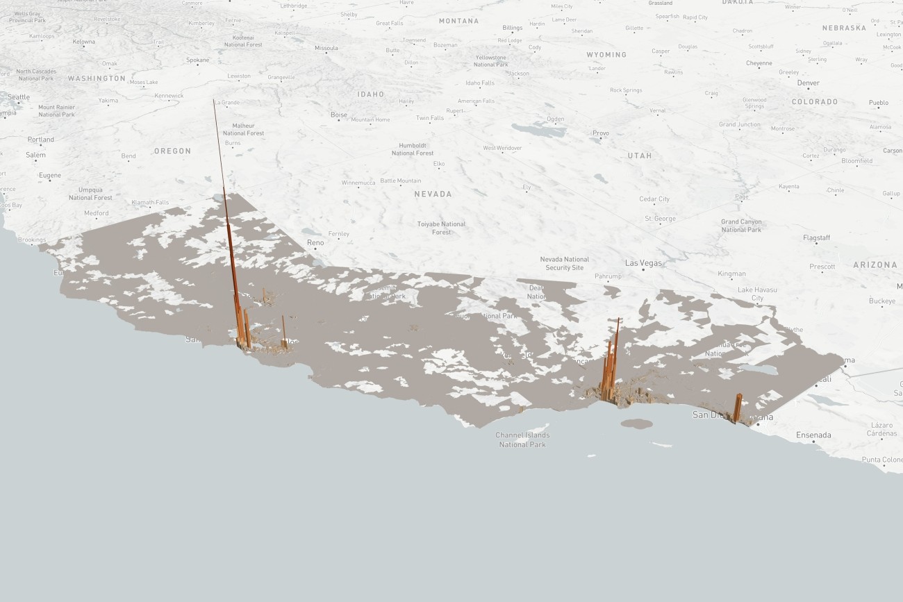
TNCs 2020: A Profile of Ride-Hailing in California is the first comprehensive study of ride-hailing activity statewide, based on an analysis of annual reports filed by Uber and Lyft to the California Public Utilities Commission.
Image
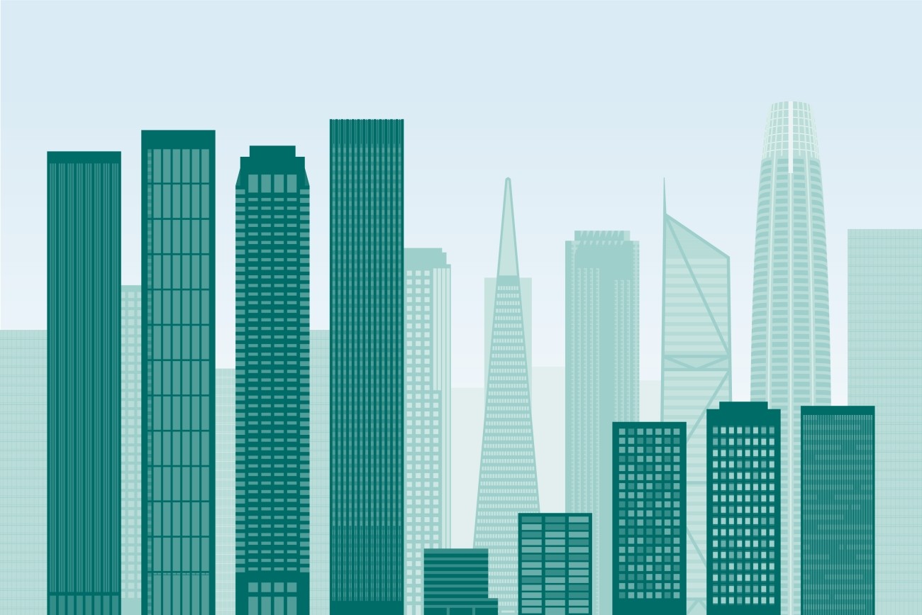
San Francisco’s downtown has experienced profound changes since the COVID-19 pandemic and the report focuses on a profile of the northeast sector in 2023-2024.