Image
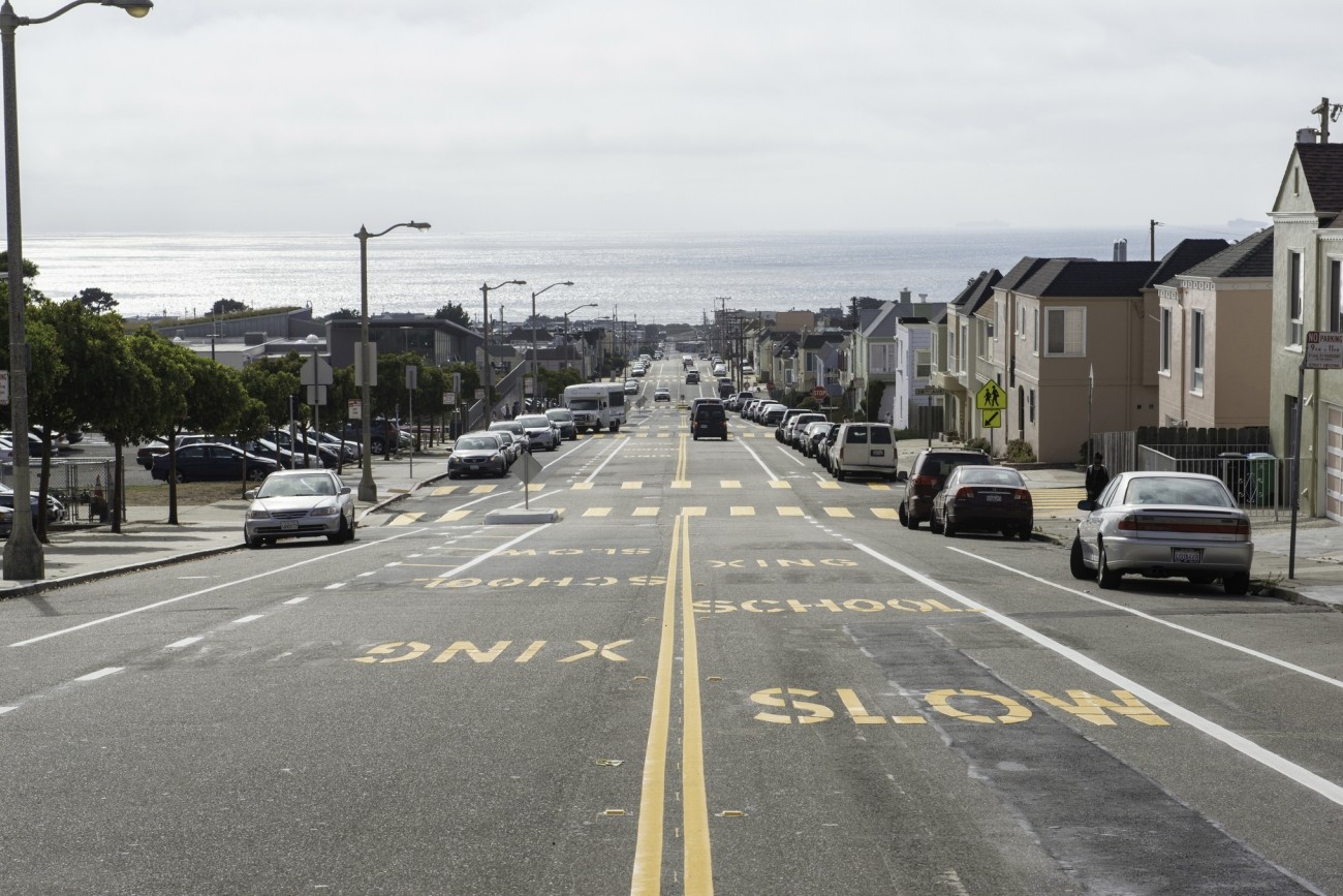
The Transportation Authority is developing a business plan that will define an on-demand community shuttle service within District 4.
Image
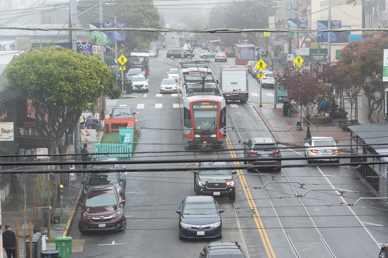
This study will identify a prioritized short list of recommendations to improve multimodal traffic safety and access in the Inner Sunset commercial core area in District 7.
Image
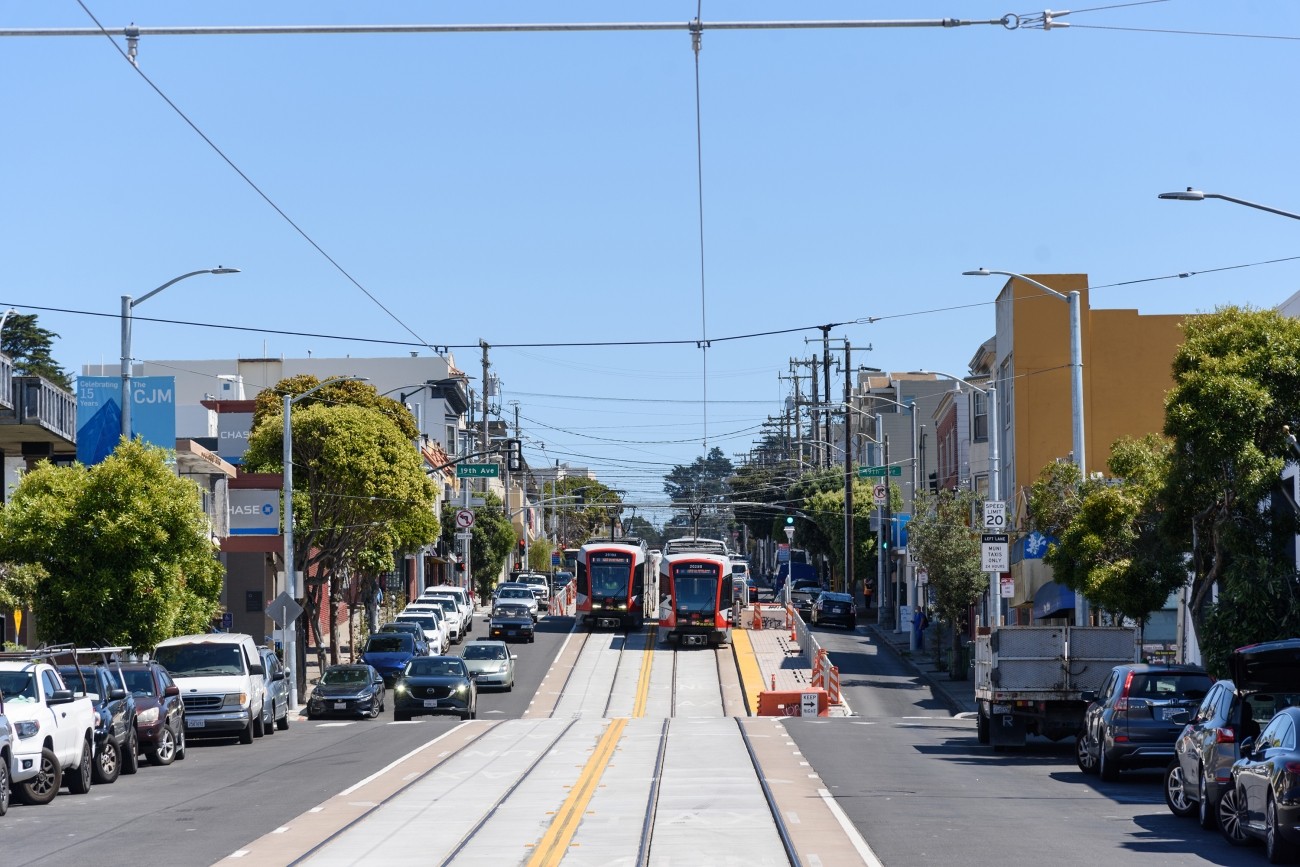
The Westside Network Study will analyze the multimodal westside transportation network and offer recommendations to ensure the network is meeting local needs now and into the future.
Image
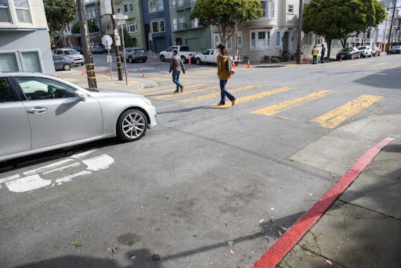
This project will implement red curb “daylighting” treatments at intersections throughout District 5 in accordance with AB 413, which prohibits vehicle parking within 20 feet of crosswalks. Once complete, District 5 will become the first fully daylit district in San Francisco.
Image
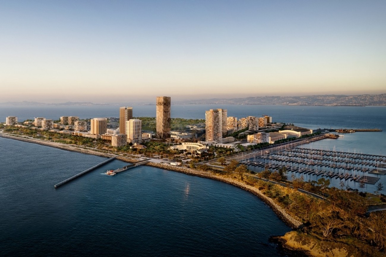
The Treasure Island Transportation Program will address the island's growing transportation needs with a goal to have at least 50 percent of trips made by transit instead of private vehicles.
Image
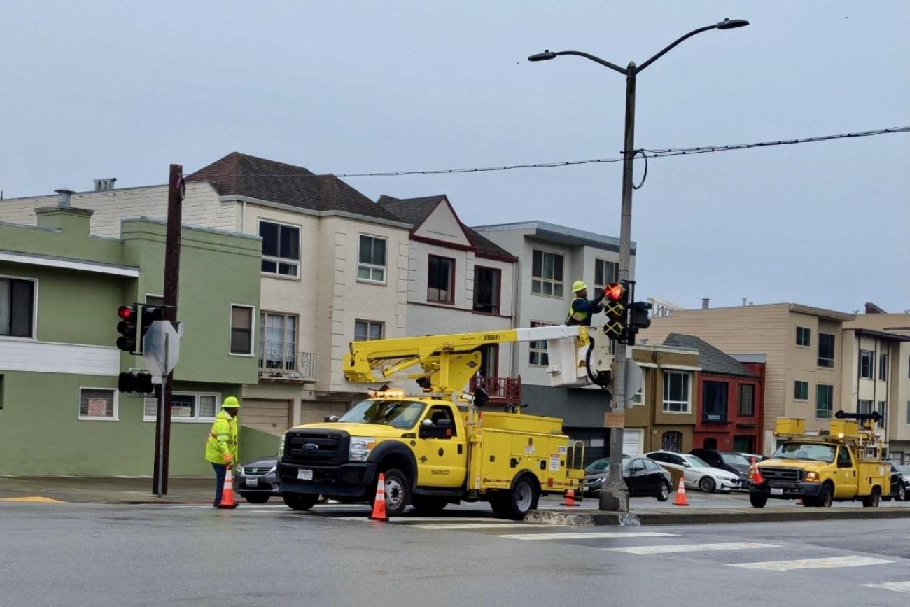
The requested funds for this project will be used for the design phase for new traffic signals at 45th Avenue/Lincoln Way and La Playa Street/Lincoln Way to improve safety and right-of-way allocation, and to reduce vehicle and transit delays associated with the upcoming closure to restrict vehicles on Great Highway due to the passage of Proposition K in November 2024. The scope of work includes all necessary signal infrastructure including new 12” signal heads and mast arms, new signal poles, pedestrian countdown signals, accessible pedestrian signals, and related infrastructure such as curb ramps.
Image
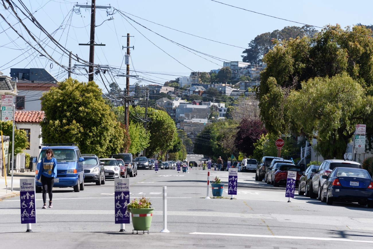
The Duboce Triangle Slow Streets Study will examine opportunities for a more robust, safe, and comfortable north-south bicycle connection through the Duboce Triangle neighborhood, as well as potentially revising vehicle turn restrictions at the Market St/Castro St and Market St/Noe St. intersections, including traffic and circulation analysis of potential changes to street configurations. The study will explore the feasibility of converting existing Class III shared lane bikeways on Sanchez St and Steiner St into Slow Streets, possibly replacing or adding to the existing Noe Slow Street.
Image
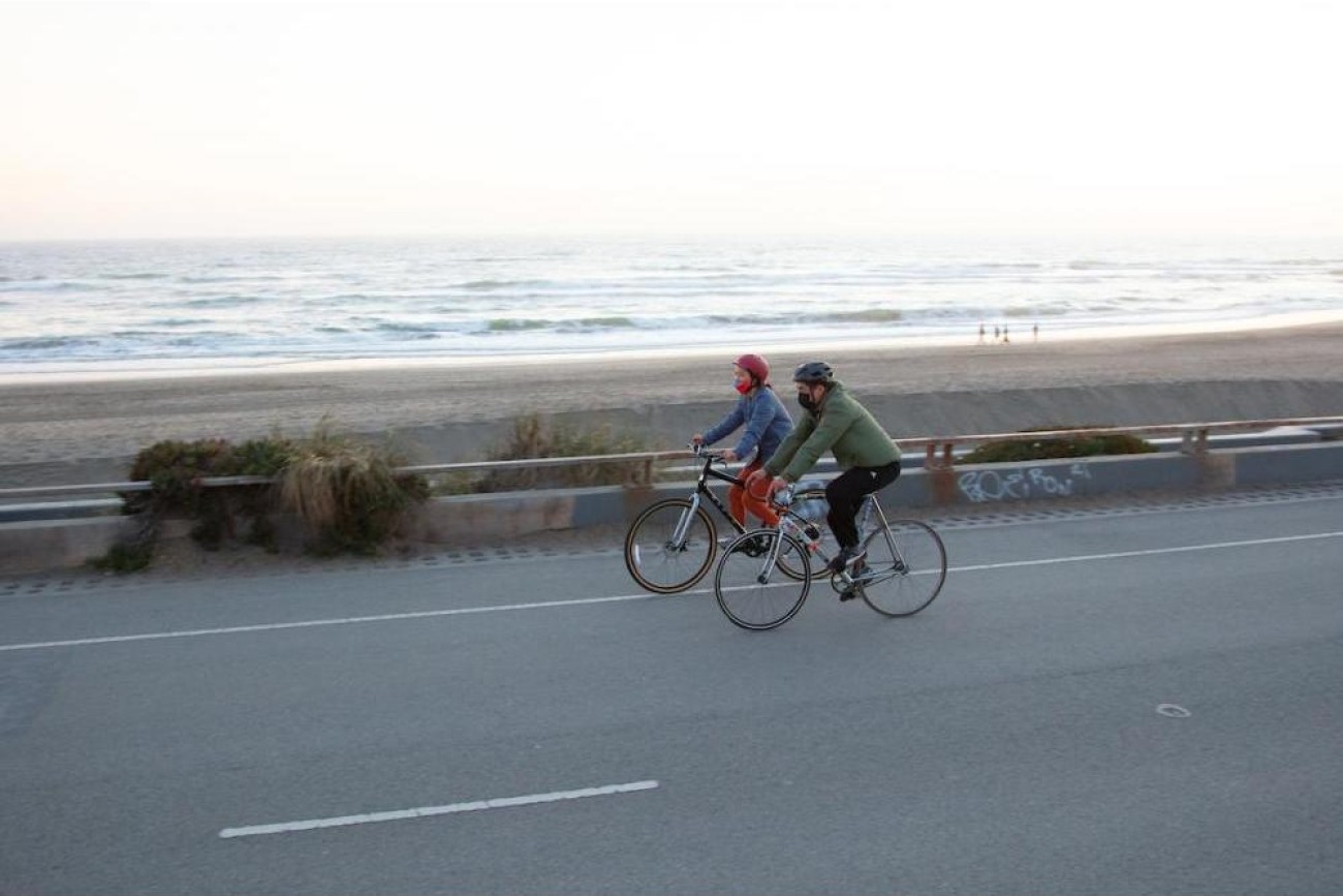
This planning study will focus on improving safety, accessibility, and overall experience at key intersections along Lincoln Way, next to Ocean Beach, including Lower and Upper Great Highway, La Playa Street, and Martin Luther King Jr. Drive. The project will explore ways to enhance connections for people walking, biking, and driving, with place-making features to create a more welcoming and enjoyable environment for everyone.
Image
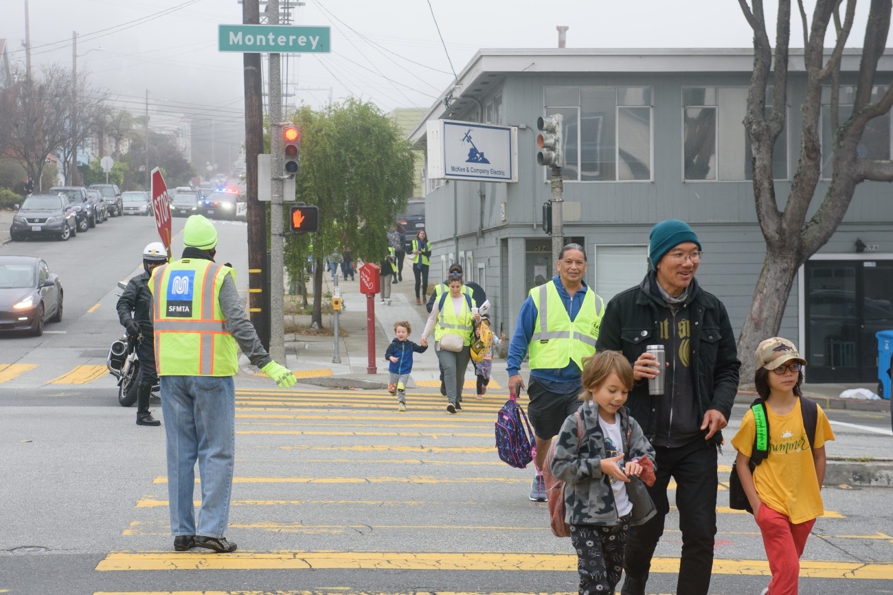
The Monterey Boulevard Pedestrian Safety Improvement Project is located along Monterey Boulevard between Acadia Street and San Anselmo Avenue. The Project encompasses the Vision Zero High Injury corridor on Monterey Blvd between Baden and Edna. Monterey is the main arterial street between San Jose Ave/I-280 and Portola Dr/Junipero Serra Blvd/19th Ave. This project aims to address pedestrian safety concerns through roadway paint refreshes, quick build treatments, and minor infrastructure changes to prioritize pedestrians and improve overall travel on the project corridor.
Image
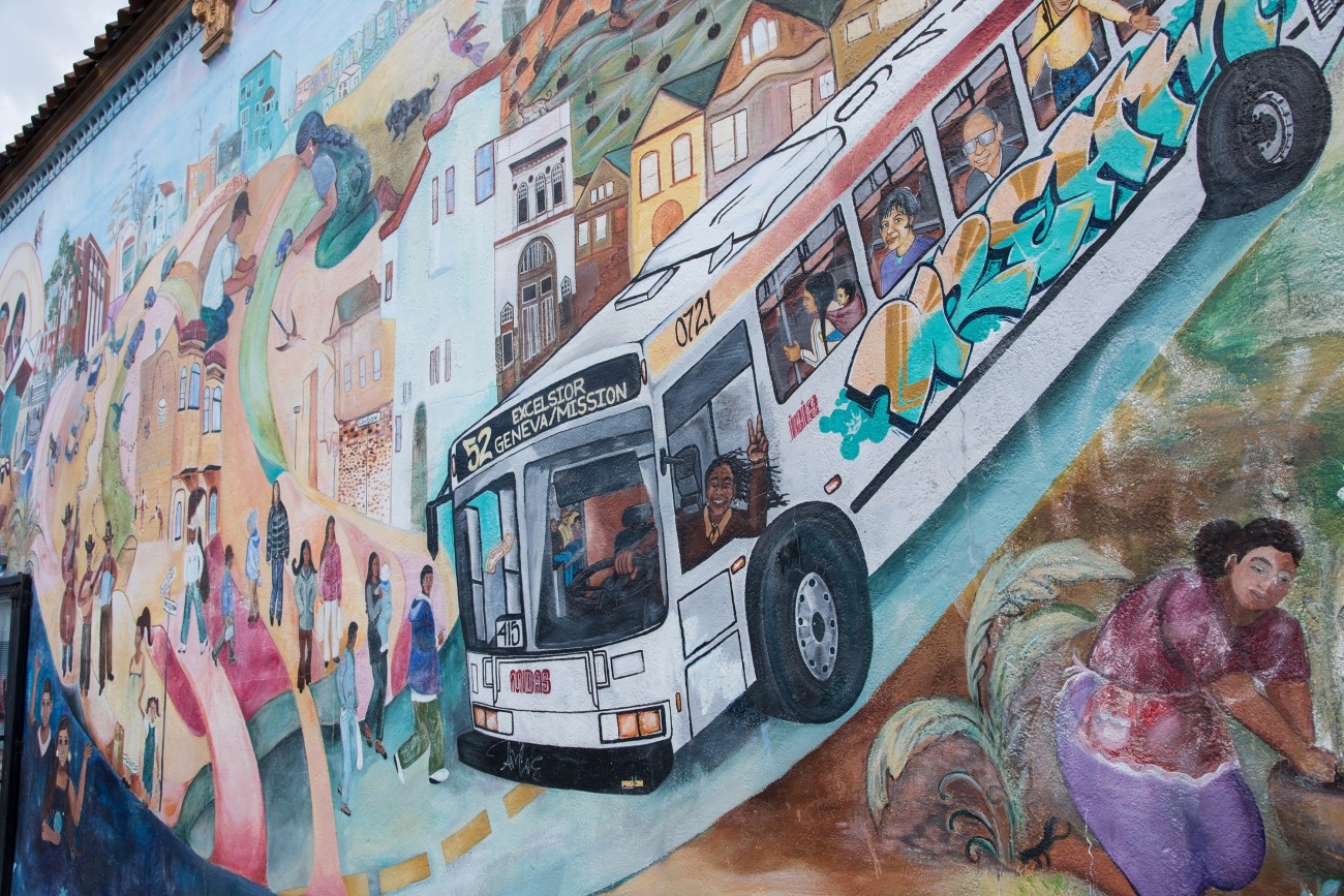
The SFMTA is implementing quick and effective traffic calming measures at locations in District 11.
Image
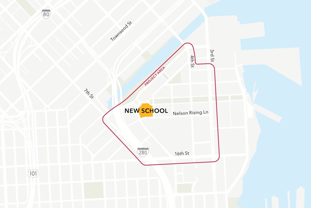
This project will analyze connectivity between a new public school site in the Mission Bay neighborhood, the existing low-stress active transportation network, and existing and planned transit. The project will then design infrastructure improvements to mitigate key barriers to active transportation. The project will also coordinate expected transportation programs and improvements from projects in the area to ensure school access is supported.
Image
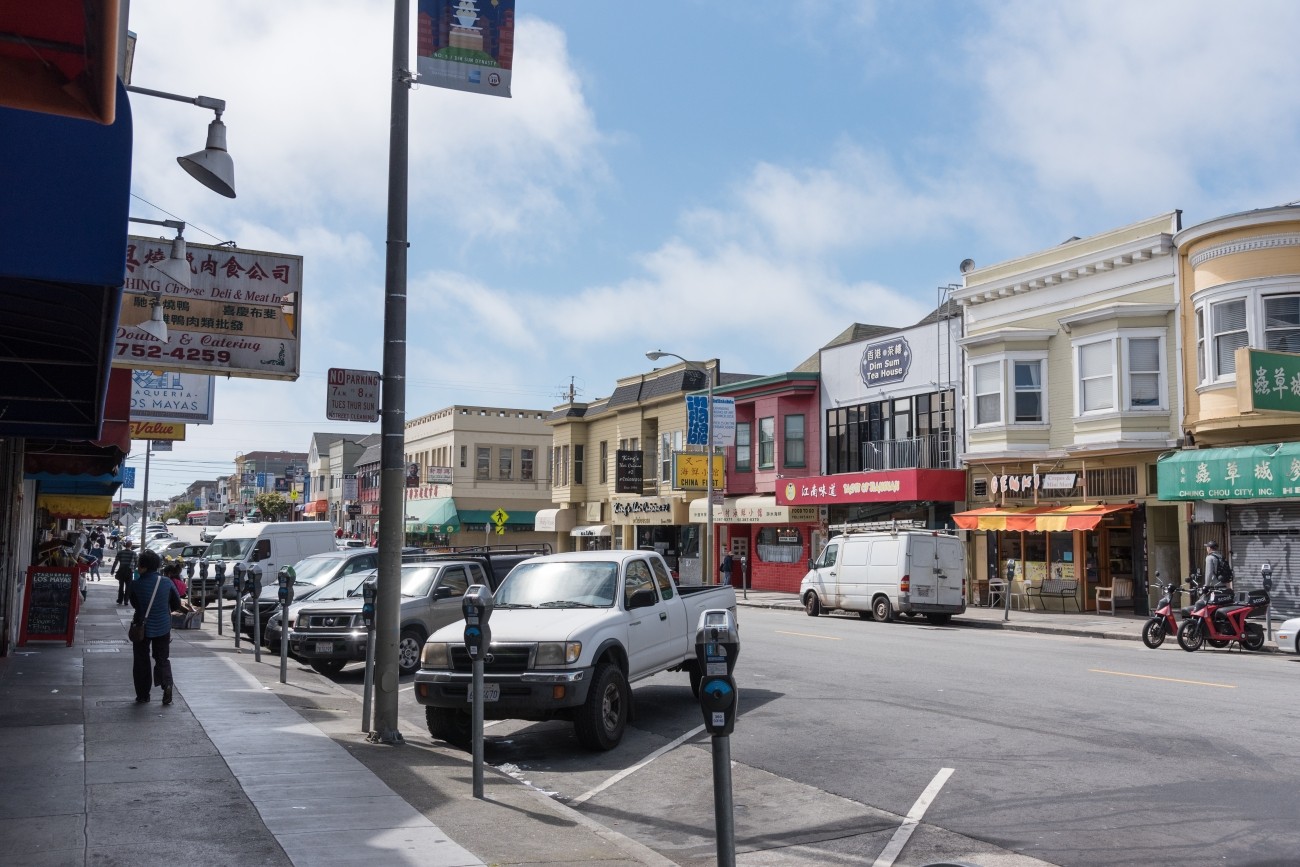
San Francisco Public Works is set to improve safety, walkability, and accessibility at the intersection of Clement Street and 6th Avenue in the heart of the Inner Richmond. This high-traffic location connects the community to local businesses, cafes, shops, schools, and community spaces like the Richmond Branch Library, George Peabody Elementary, and Roosevelt Middle School.
Image
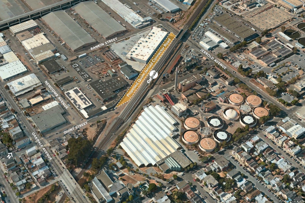
The proposed Quint-Jerrold Connector Road will reestablish a connection between Oakdale Avenue and Jerrold Avenue via a new road along the west side of the Caltrain tracks.
Image
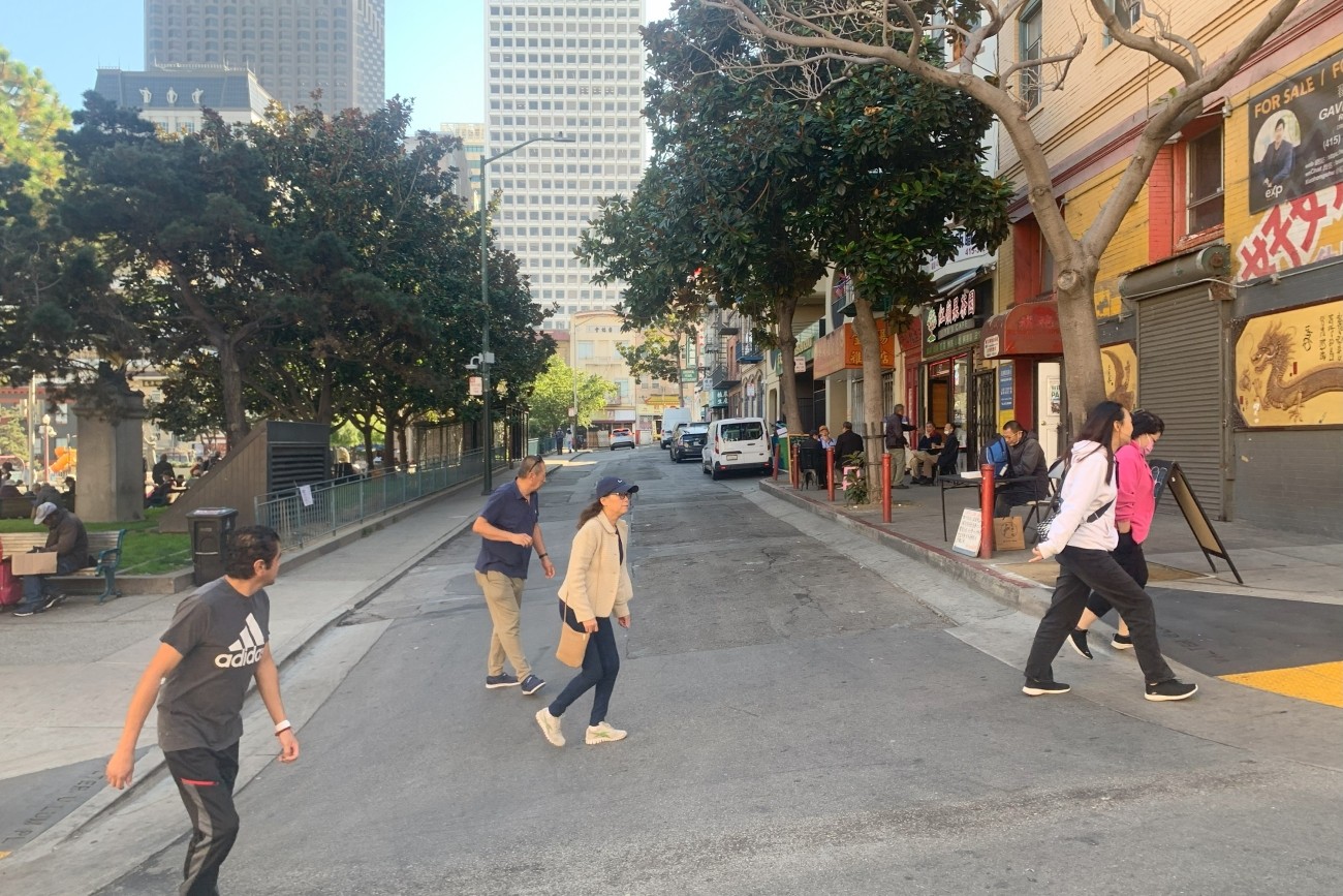
This study will examine various scenarios for a people-first Walter U Lum Place in District 3.
Image
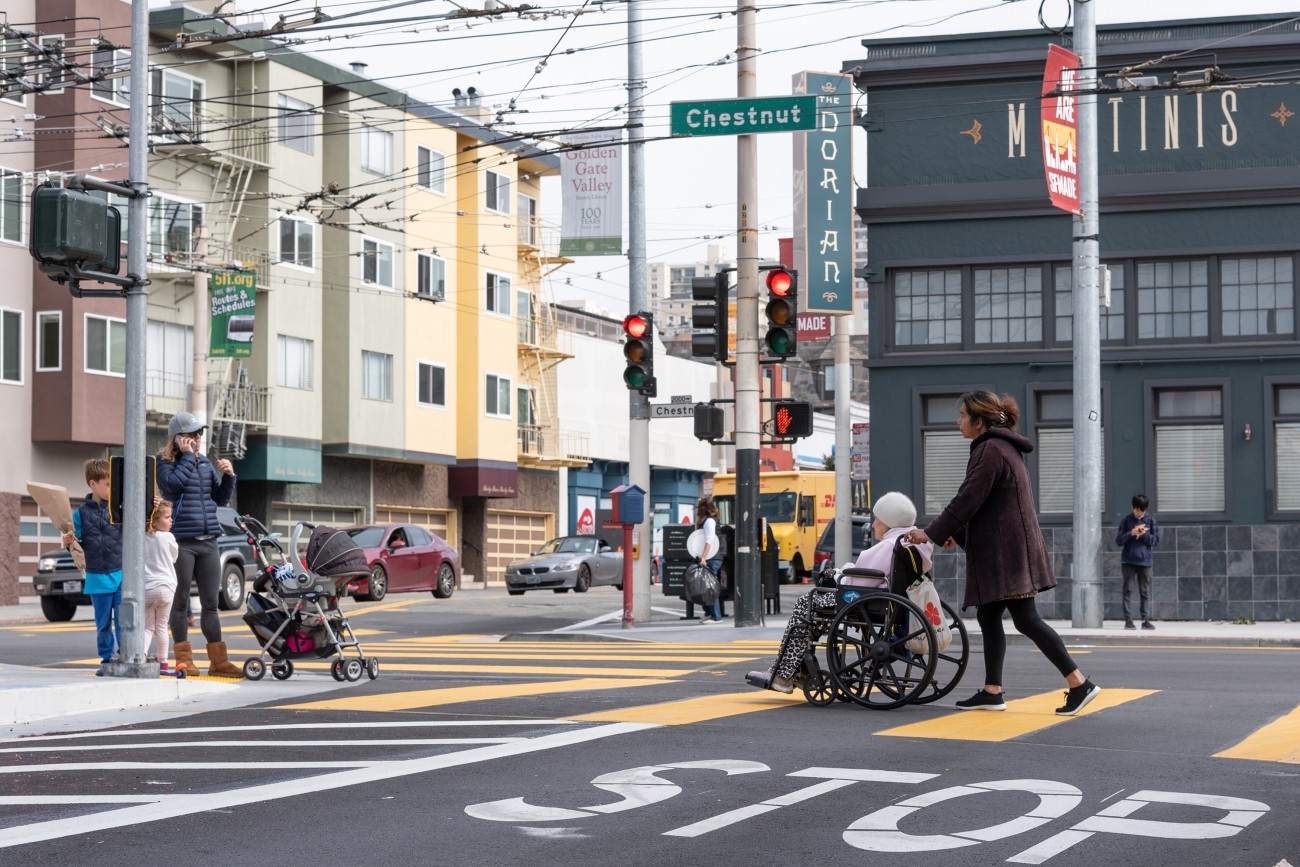
The District 2 Safety Study will address safety challenges and barriers to access on routes to land uses that attract children, seniors, and other vulnerable road users including parks, schools, hospitals, and recreational areas. The study will create a toolkit of safety improvements and guidance for implementation. The funding for this study includes implementation of study recommendations as a combination of quick-build or permanent construction.