Image
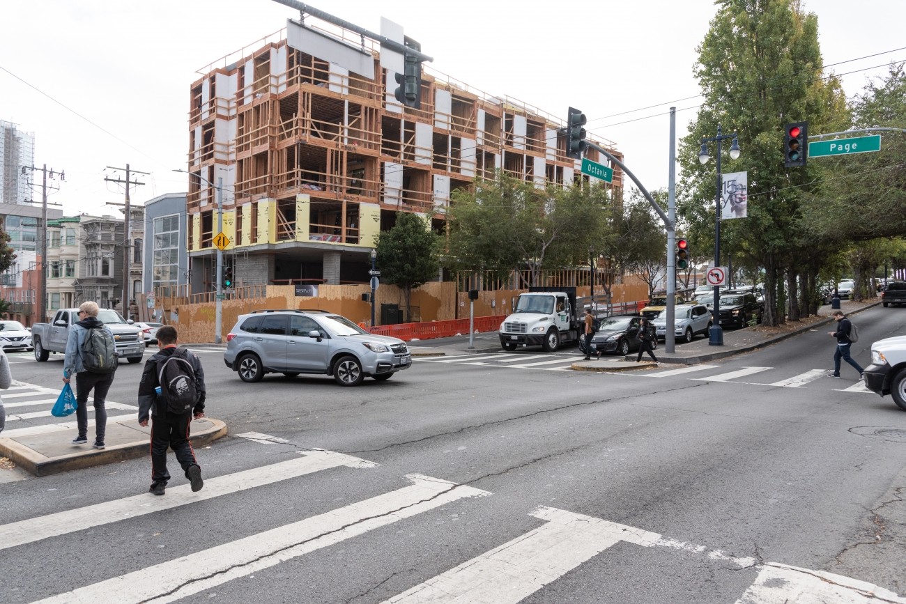
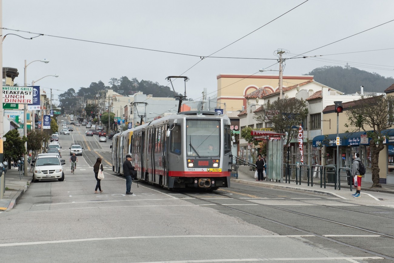
The Transportation Authority conducted the Octavia Improvements Study in close partnership with SFMTA to identify ways to improve safety and make it easier to travel on Octavia Boulevard leading to the Central Freeway.
Image
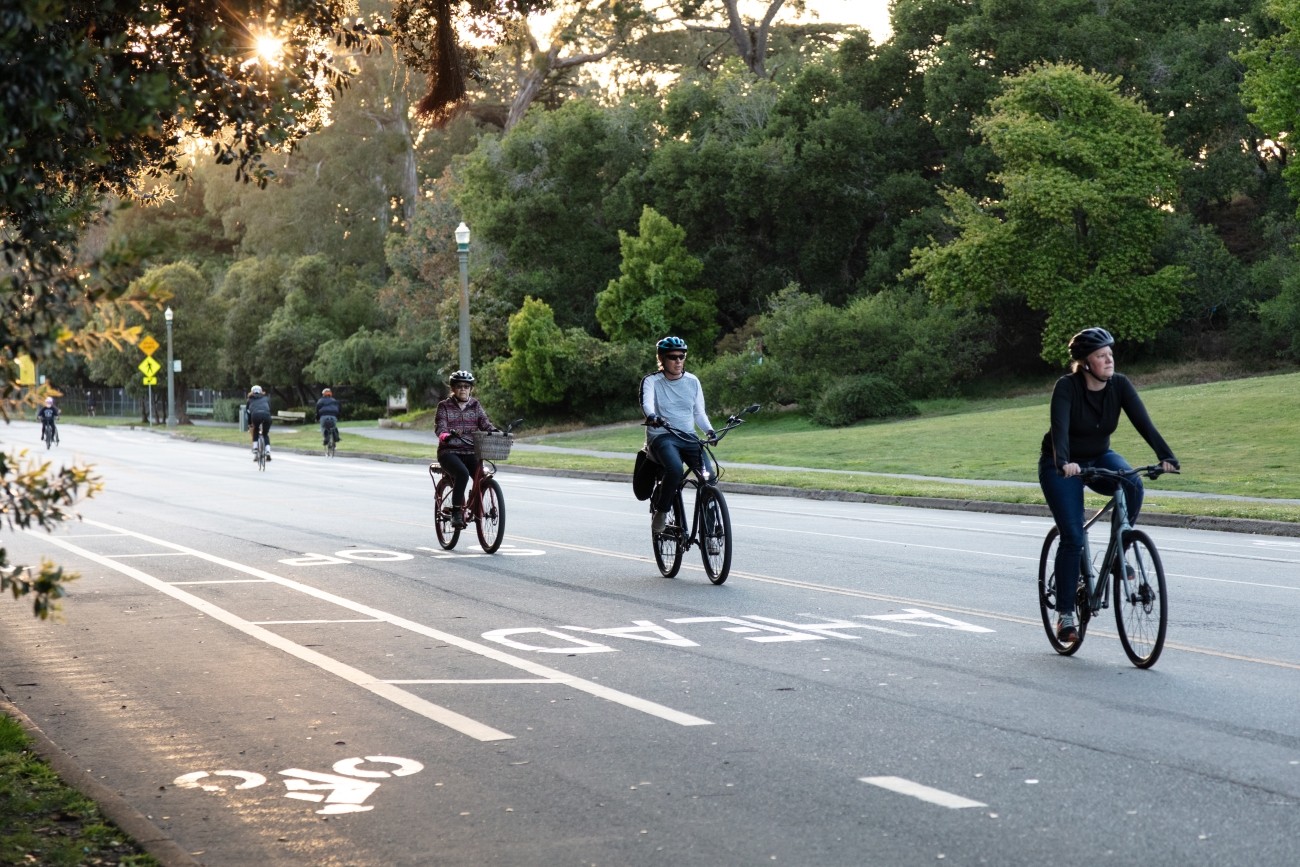
This study analyzes how people travel to the eastern portion of Golden Gate Park and what barriers exist to getting there, particularly for people living in Equity Priority Communities furthest from the park.
Image
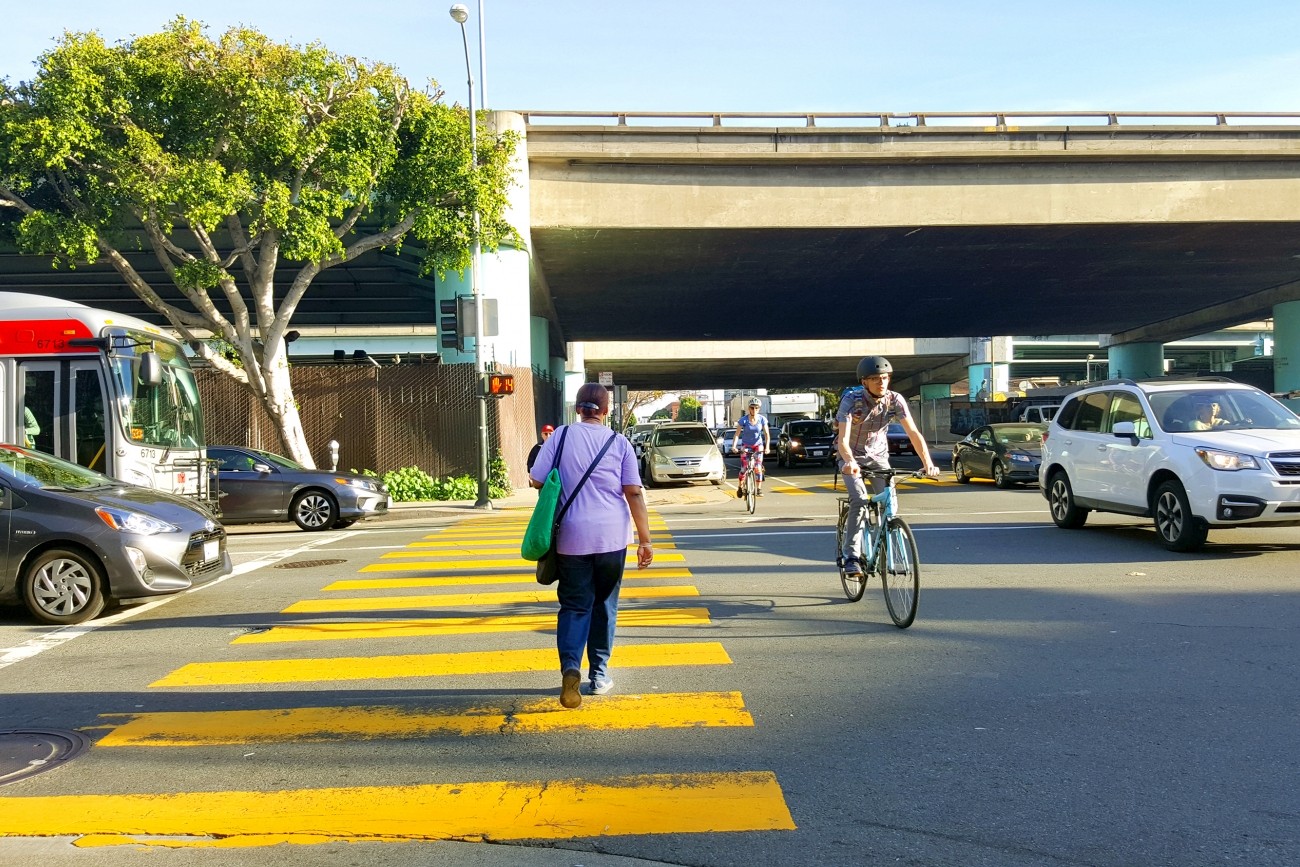
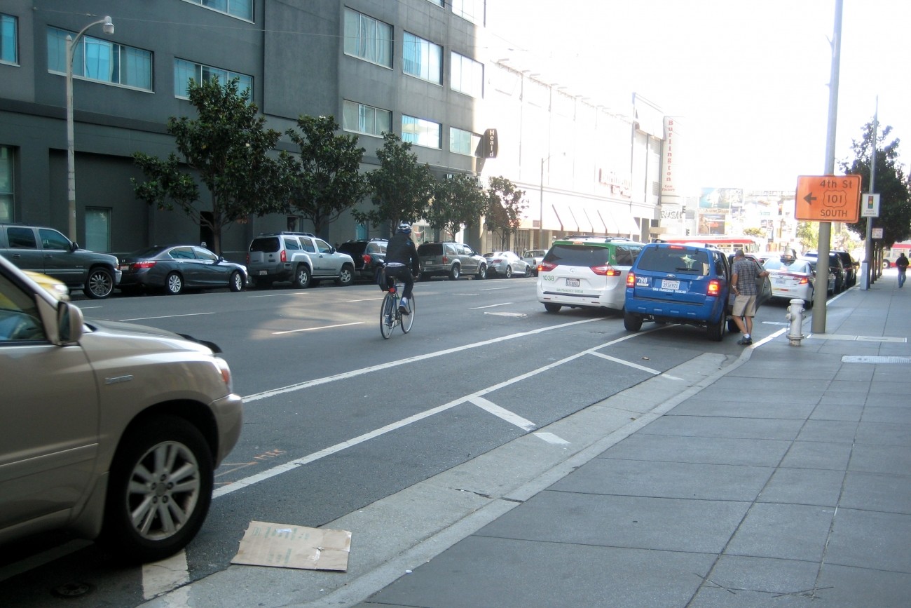
The Transportation Authority has been studying how to improve safety at 15 SoMa intersections where freeway on- and off-ramps meet city streets.
Image
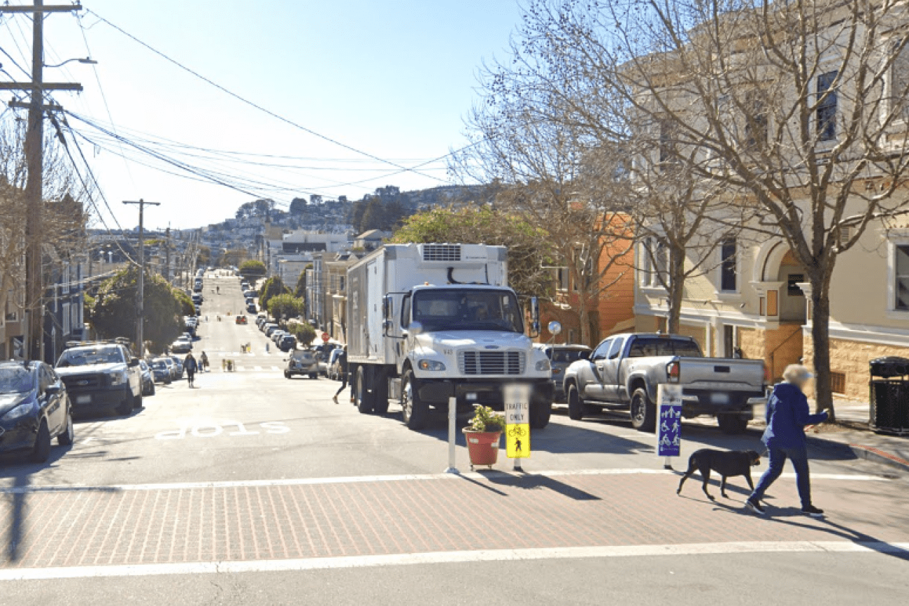
Sanchez Street is one of the city's most beloved Slow Streets, and was one of the first Slow Streets corridors to be converted to a post-pandemic Slow Street in 2021. A full citywide Slow Streets program was approved by the San Francisco Municipal Transportation Agency Board in December 2022. This project is an opportunity for Sanchez Street to pilot innovative new treatments and to test out 'next generation' improvements on a Slow Street, including concrete traffic calming islands and permanent metal wayfinding signs. The project will design and install ‘next generation’ Slow Street improvements along Sanchez Street from 23rd Street to 30th Street.
Image
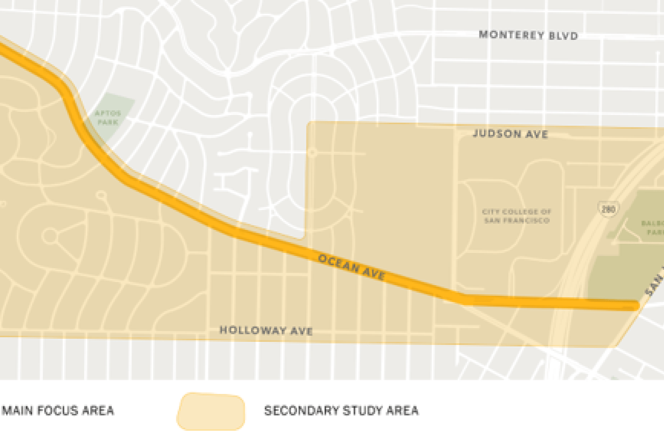
The Ocean Ave Safety & Bike Access project will implement near- and mid-term pedestrian safety, bicycle access, and other upgrades along and adjacent to the Ocean Avenue business district, which were identified in the Ocean Ave Mobility Action Plan.
Image
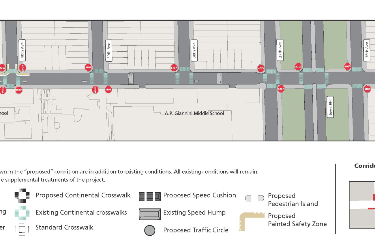
The Ortega Street Improvements project will design and implement traffic calming measures on Ortega Street between 19th Avenue and 47th Avenue to create a safer, more comfortable pedestrian and bicycle route. The traffic calming measures will improve traffic safety, improve comfort and calmness, and make the local street more inviting for neighborhood scale travel by walking and bicycling. San Francisco Municipal Transportation Agency staff will develop detailed designs by drawing on work, findings, and recommendations in the San Francisco Transportation Authority’s District 4 Mobility Study.
Image
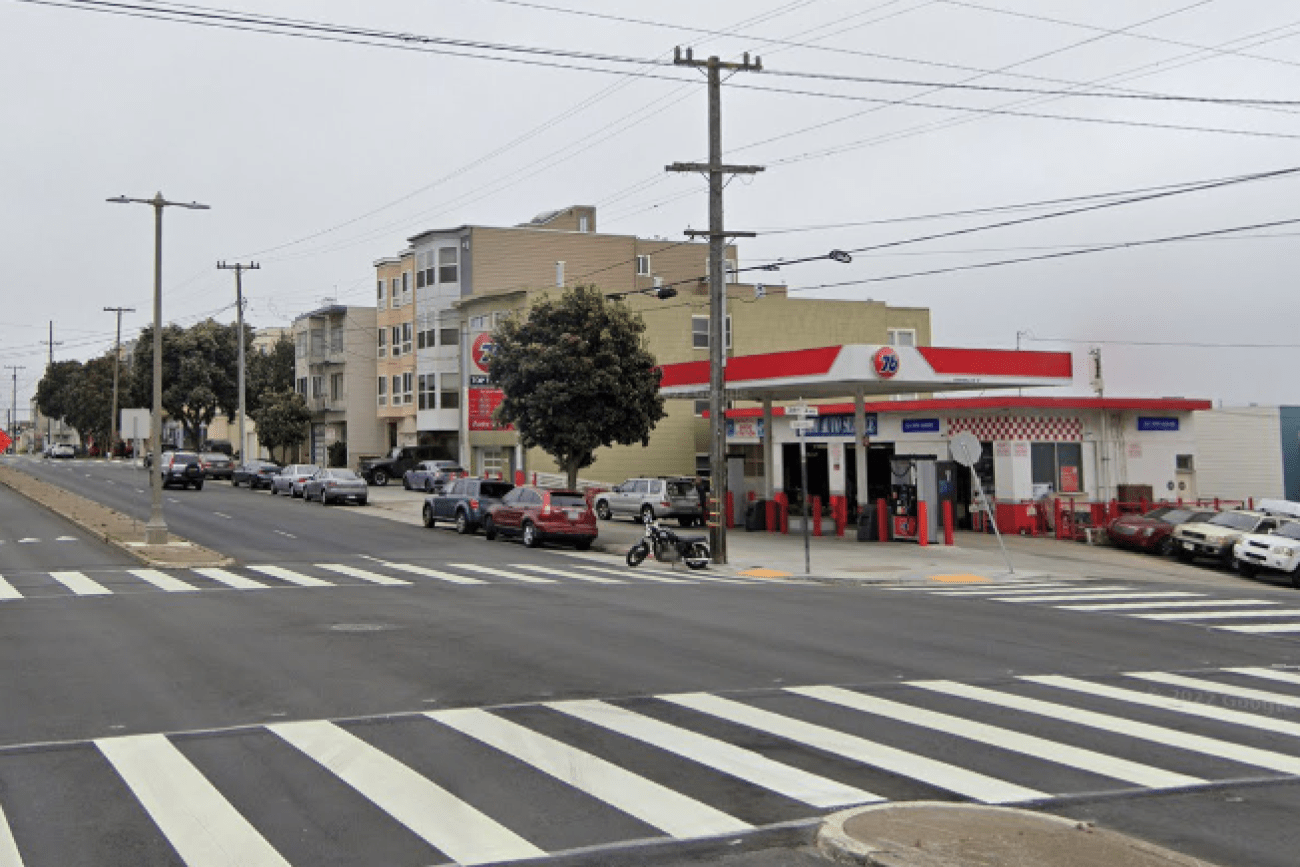
This project will design and install rectangular rapid flashing beacons, pedestrian push buttons, and improved signage to improve pedestrian safety at the intersection of 38th Avenue and Geary Boulevard.
Image
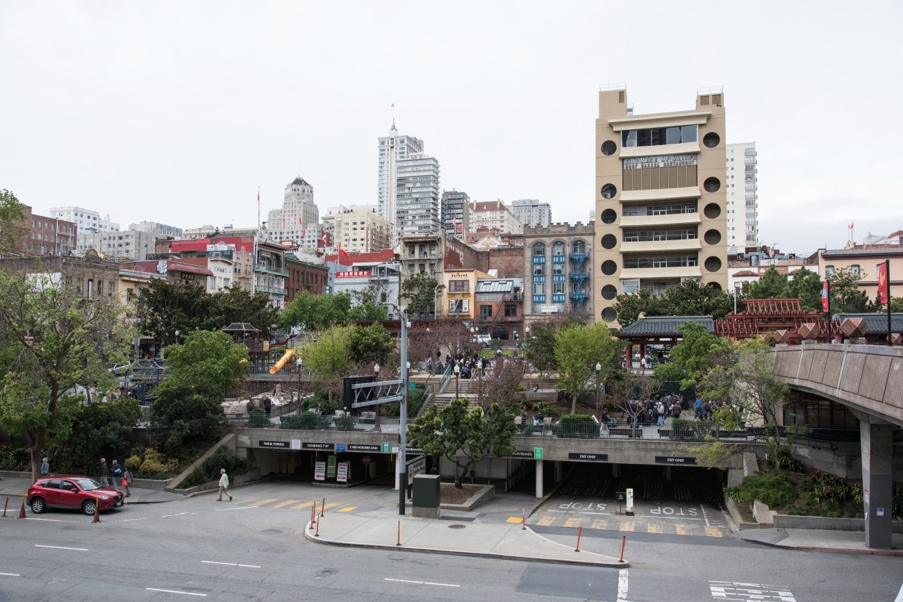
This Community Based Transportation Plan for Portsmouth square will analyze the new park design and explore existing transportation and circulation around the park.
Image
The District 4 Mobility Study will explore ways to increase the use of non-automobile modes in the Outer Sunset and Parkside neighborhoods.
Image
The SFMTA’s Folsom-Howard Streetscape Project will make it safer and more pleasant to walk, bike, shop and live along Folsom and Howard streets.
Image
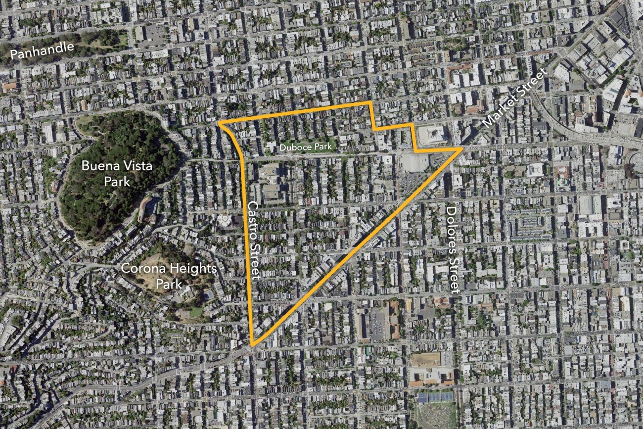
The Slow Duboce Triangle Study, also called Vision Slow Triangle or Duboce Triangle Vision 2030, was led by the Duboce Triangle Neighborhood Association and engaged the community in workshops to understand the visions for the future of the Duboce Triangle neighborhood.
Image
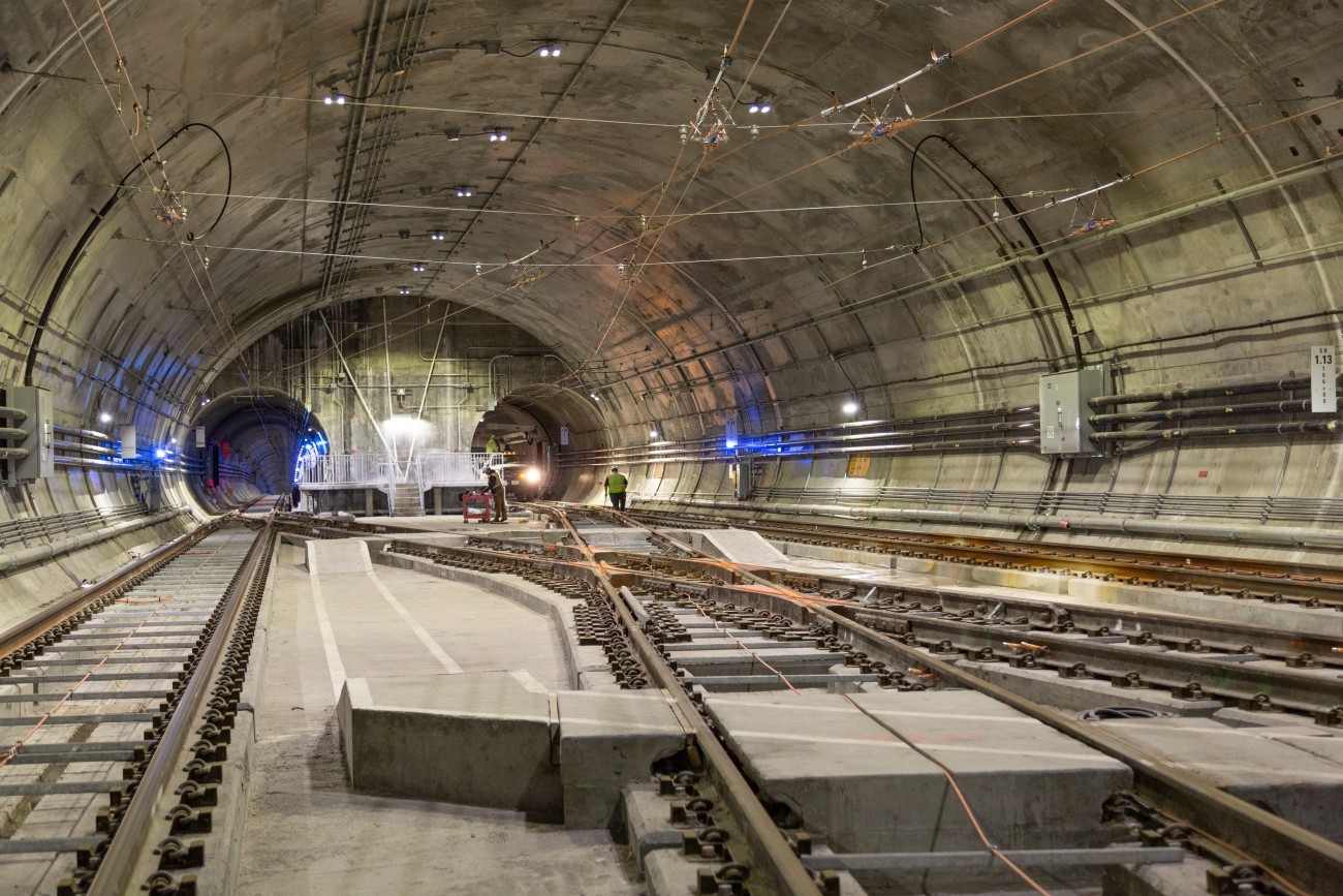
The Central Subway will extend the Muni T-Third line north from Fourth and King streets, traveling mostly underground to Chinatown.
Image
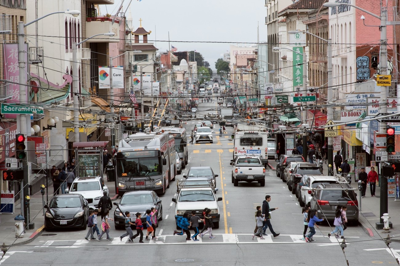
The SFMTA-led District 3 Pedestrian Safety Improvements project will focus on planning, design, and construction of pedestrian safety improvements on and near Kearny Street.
Image
Vision Zero Proactive Traffic Calming is a program of the San Francisco Municipal Transportation Agency to improve safety on streets where pedestrian injuries to seniors and people with disabilities are concentrated and priority areas where seniors and people with disabilities live and travel.
Image
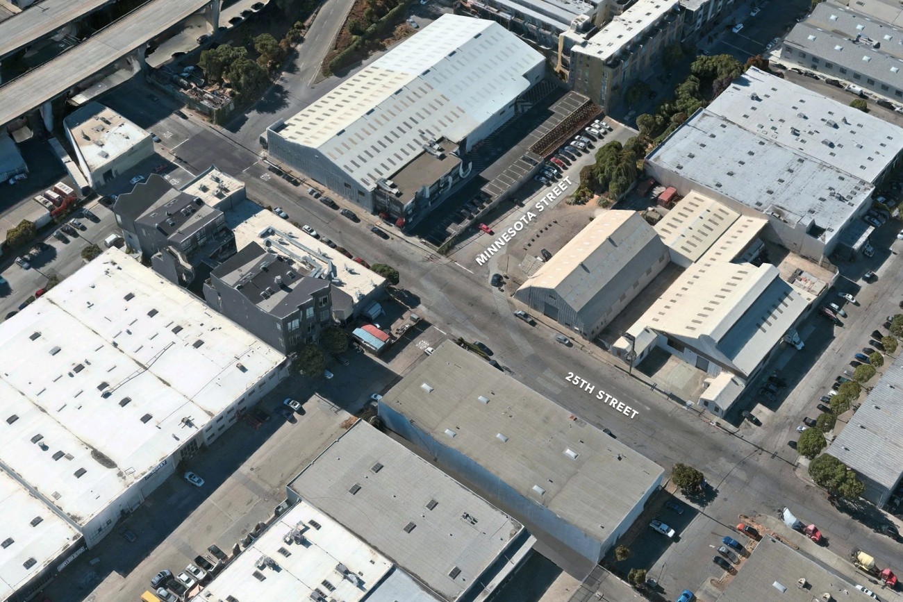
The main goal of the project is to provide a safer space for people to walk and cross the Minnesota and 25th St Intersection