Image
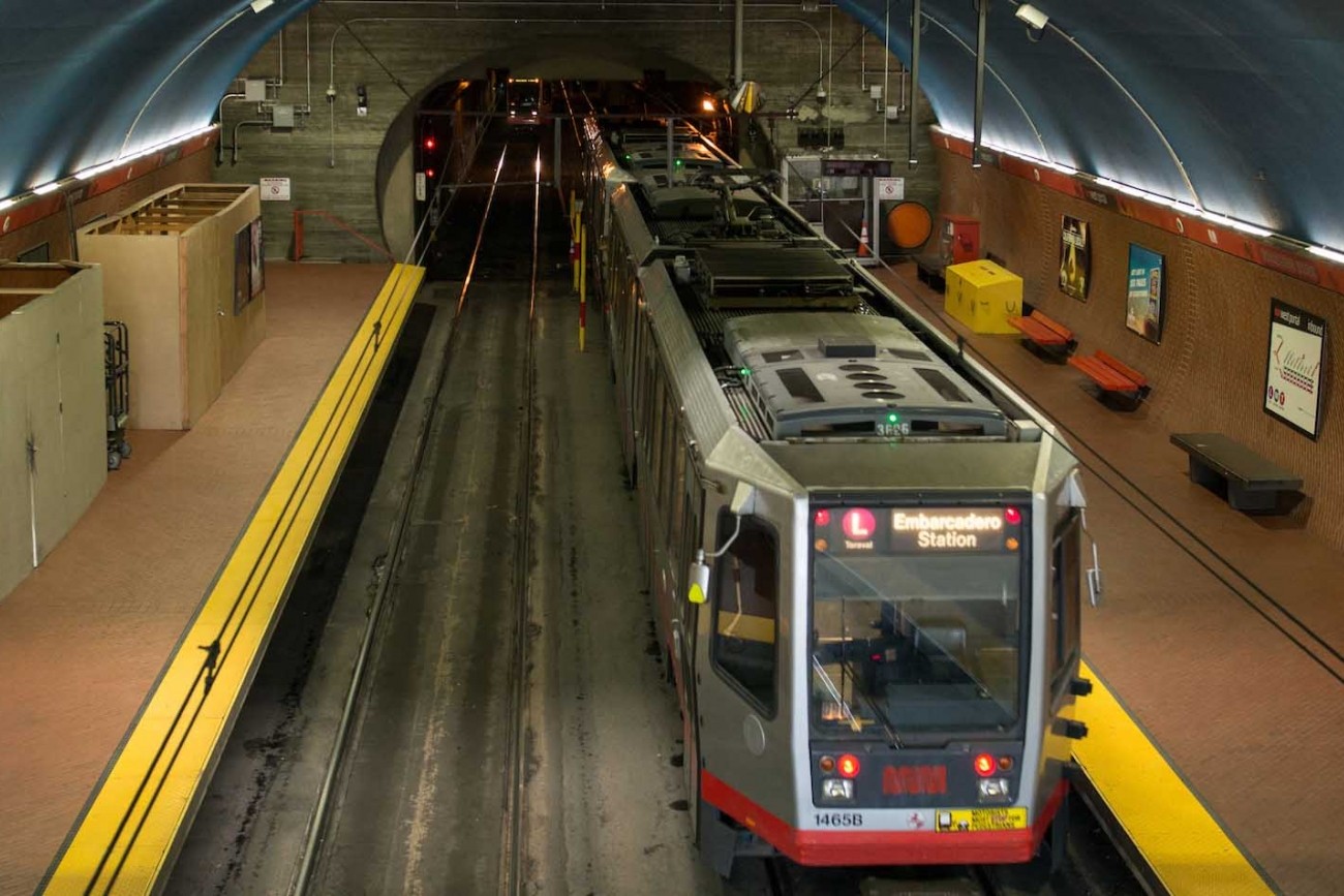
Updated every four years, the San Francisco Transportation Plan is the blueprint for the city's transportation system development and investment over the next 30 years.
Image
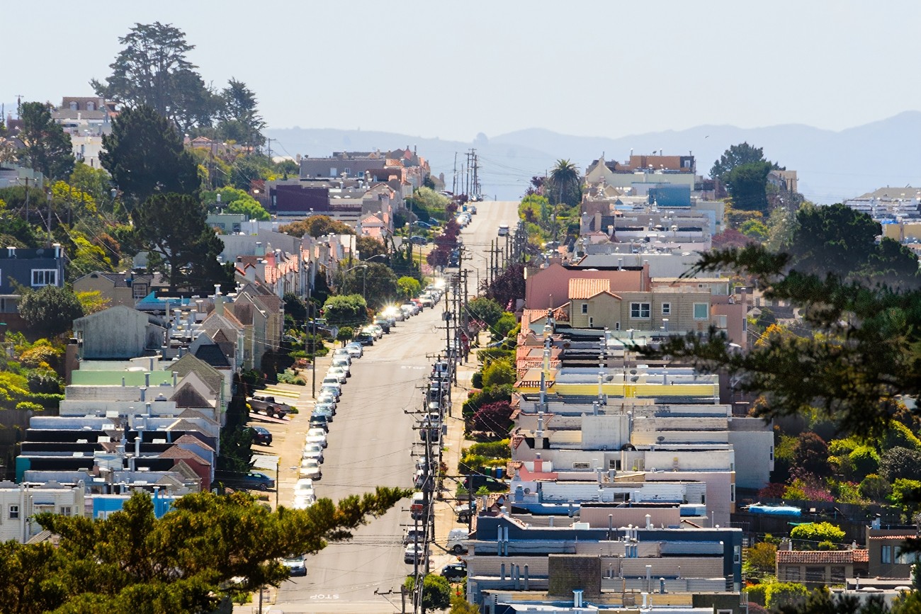
The Westside Network Study will analyze the multimodal westside transportation network and offer recommendations to ensure the network is meeting local needs now and into the future.
Image
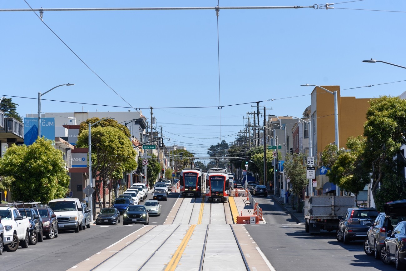
The project will develop transportation and land use concept designs that rethink the urban renewal-era Geary Expressway and advance a high-quality multimodal, mixed-use transit-oriented area to connect the Japantown and Fillmore/Western Addition neighborhoods and promote community livability.
Image
The study will focus on the first phase of planning and development.
Image
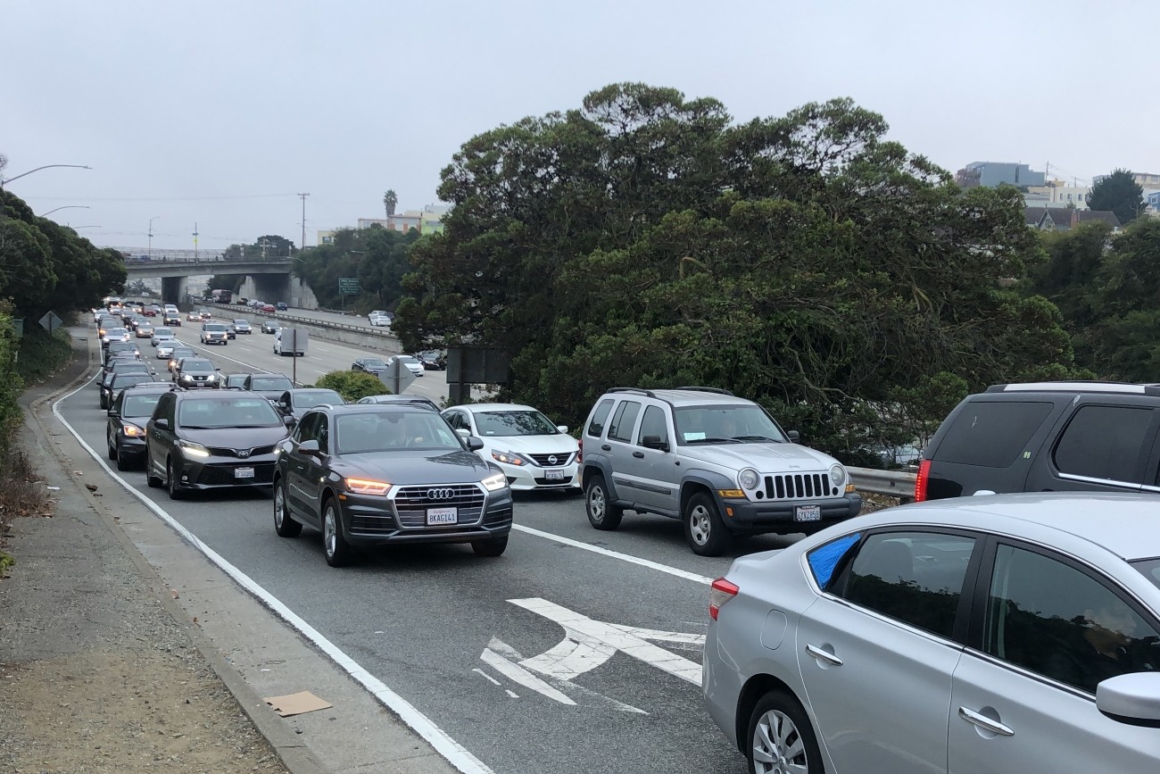
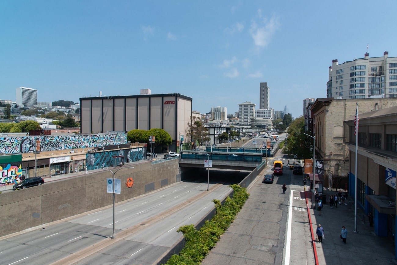
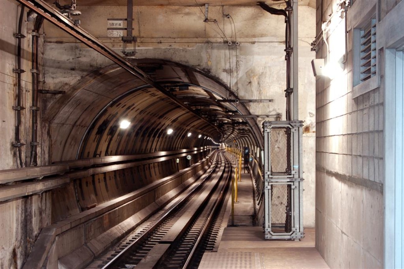
The primary objective of this study was to address safety issues at the I-280 northbound Geneva off-ramp including vehicle queues extending to the freeway mainline and related collisions. The study also explored ways to improve multimodal safety while maintaining essential transit and pedestrian movements in the area.
Image
Plan Bay Area is a 25-year plan that establishes the nine-county Bay Area region’s vision for land use and transportation.
Image
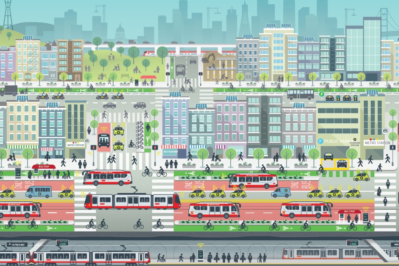
ConnectSF is a multi-agency collaborative process to build an effective, equitable, and sustainable transportation system for San Francisco’s future.
Image