Image
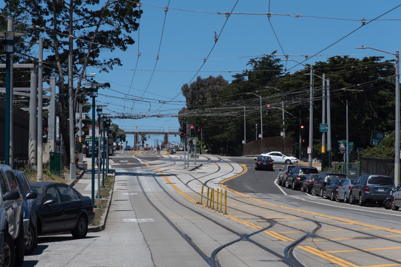
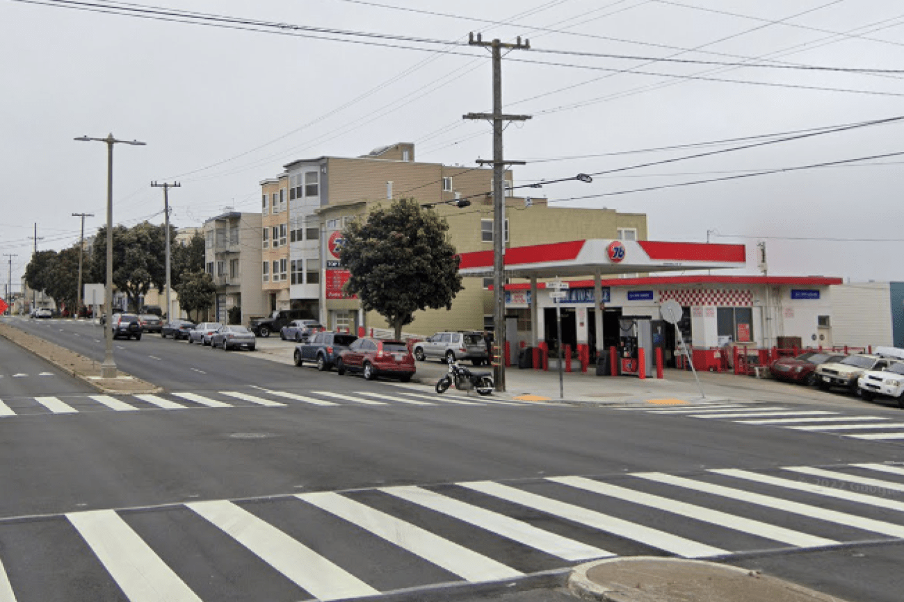
The Transportation Authority developed the Ocean Avenue Mobility Action Plan to prioritize and identify funding for transportation improvements for the Ocean Avenue corridor.
Image
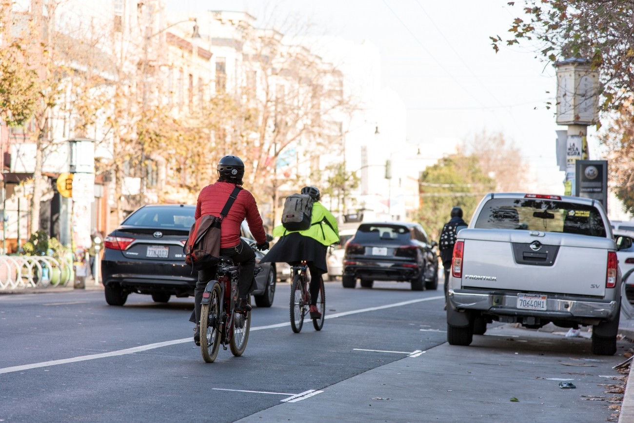
The SFMTA is working with the community to assess and recommend safety improvements for Valencia Street between Market and Mission streets.
Image
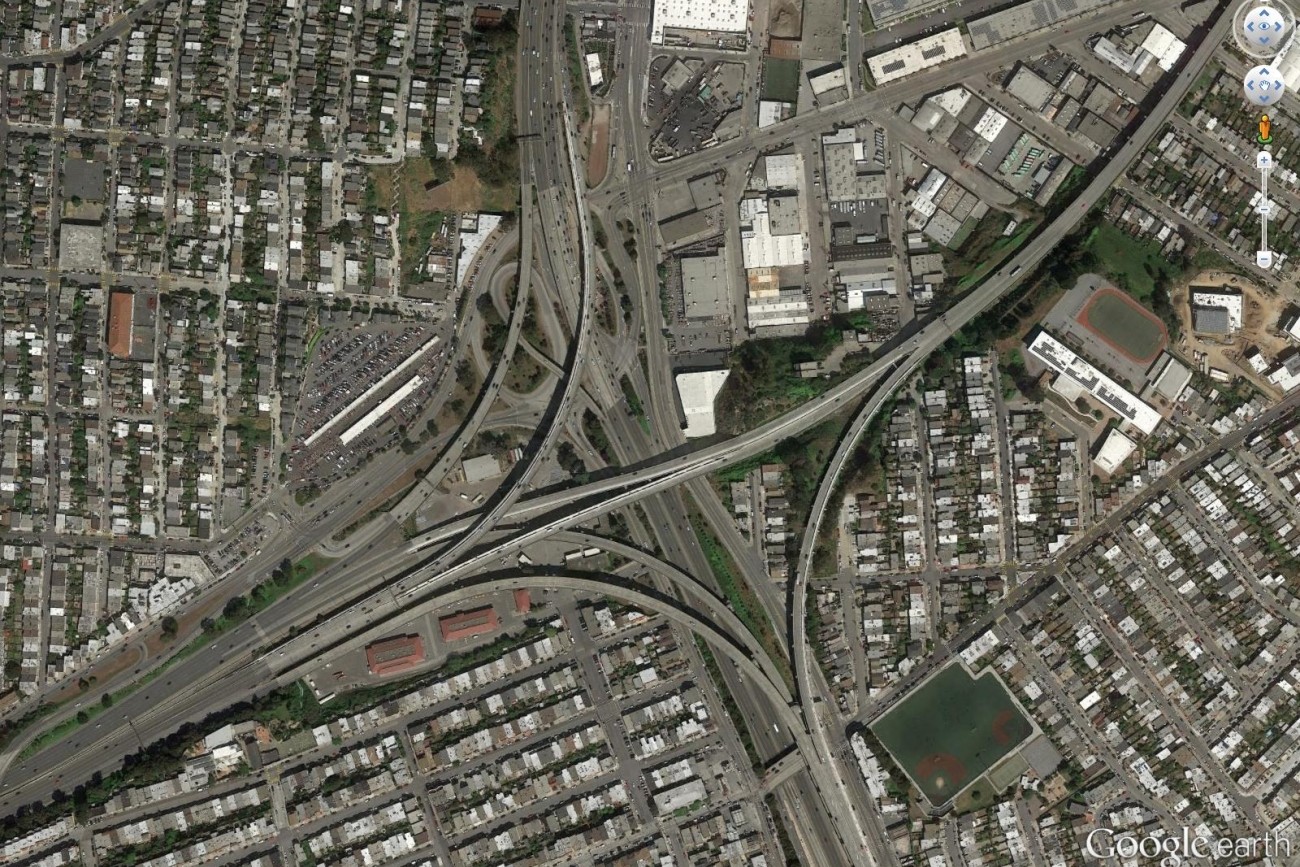
Finalized in April 2017, the Alemany Interchange Improvement Study outlined a list of safety and accessibility recommendations for the Alemany interchange.
Image
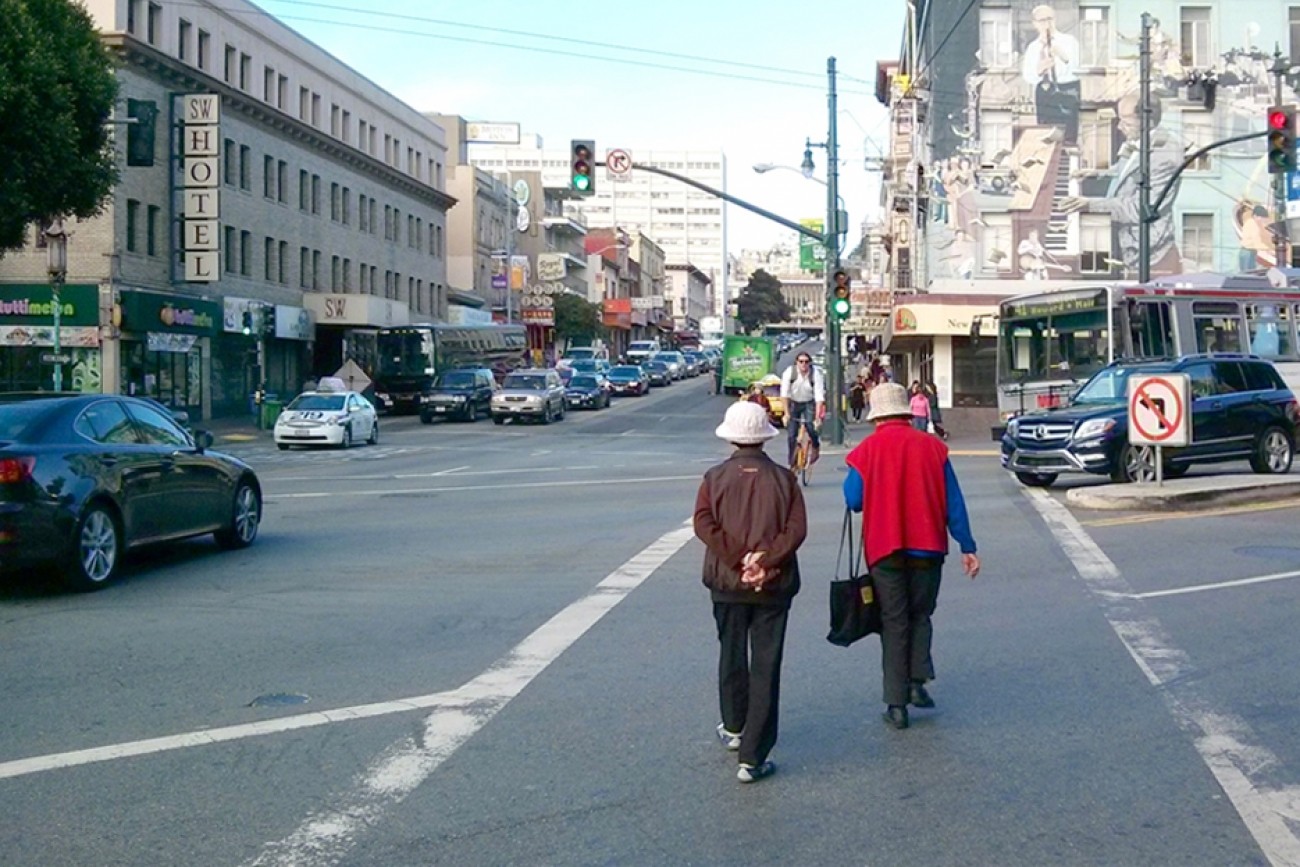
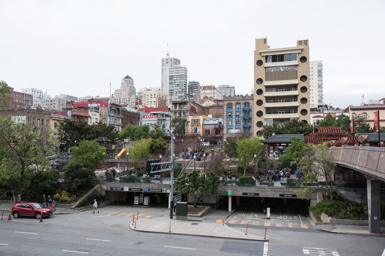
This plan focused on strategies to improve pedestrian safety on two high pedestrian-injury corridors in Chinatown: Broadway Street between Van Ness and Columbus Avenues, and Kearny Street between Bush and Jackson Streets.
Image
This study focused on improving residents’ access to groceries, health appointments, after-school programs, and other important services.
Image
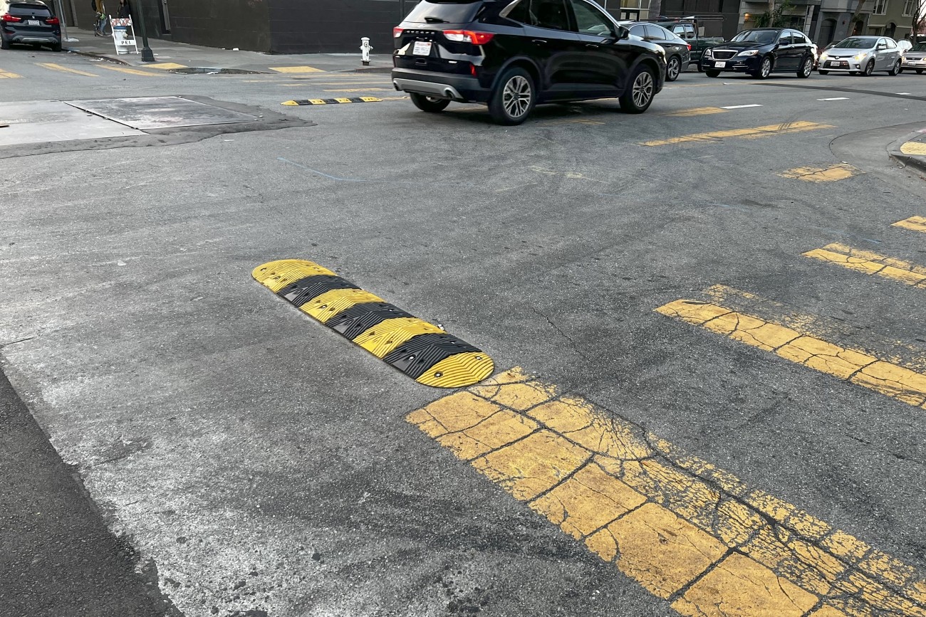
The goal of the Frederick and Clayton Traffic Calming Project is to increase visibility of pedestrians and improve pedestrian safety on Frederick and Clayton streets.
Image
This project will implement recommendations from the Visitacion Valley and Portola Community Based Transportation Plan. Specific improvements may include speed humps/cushions, lighting, crosswalk flashing beacons, new and/or raised crosswalks, pedestrian bulbouts, new bikeways, and Muni stop improvements. This project will focus specifically on improvements in Visitacion Valley.
Image
The Valencia Long-Term Bikeway Study will identify long-term concepts for safety and streetscape improvements on the Valencia Street corridor between Market Street and Cesar Chavez. The project will combine technical analysis, stakeholder input, and concept design for pilot block tests to study several community-generated concepts, including a curbside two-way protected bikeway, a pedestrianized Valencia Street, or that may result in converting the corridor to a one-way street or restricting through-traffic on the corridor.
Image
The District 6 Traffic Calming and Sideshow Deterrence project will design and install traffic calming devices and sideshow deterrence measures to improve safety at eleven locations in District 6 identified by the Commissioner's office and its constituents.
Image
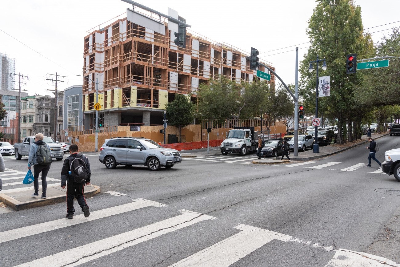
The Transportation Authority conducted the Octavia Improvements Study in close partnership with SFMTA to identify ways to improve safety and make it easier to travel on Octavia Boulevard leading to the Central Freeway.
Image
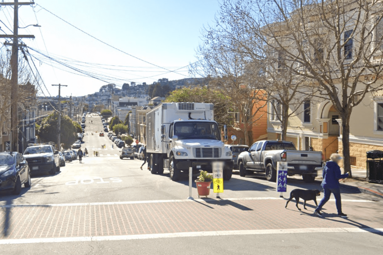
Sanchez Street is one of the city's most beloved Slow Streets, and was one of the first Slow Streets corridors to be converted to a post-pandemic Slow Street in 2021. A full citywide Slow Streets program was approved by the San Francisco Municipal Transportation Agency Board in December 2022. This project is an opportunity for Sanchez Street to pilot innovative new treatments and to test out 'next generation' improvements on a Slow Street, including concrete traffic calming islands and permanent metal wayfinding signs. The project will design and install ‘next generation’ Slow Street improvements along Sanchez Street from 23rd Street to 30th Street.
Image
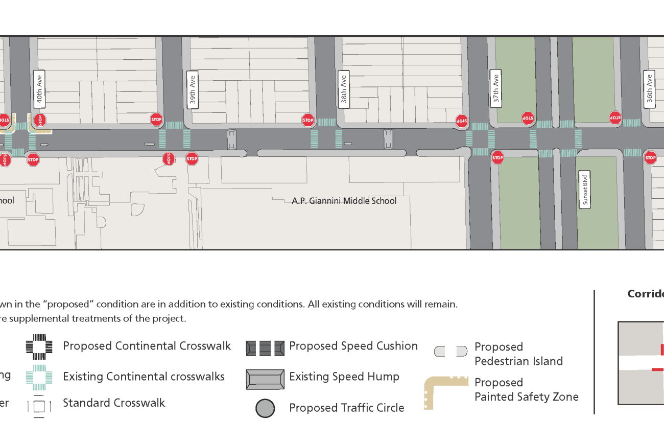
The Ortega Street Improvements project will design and implement traffic calming measures on Ortega Street between 19th Avenue and 47th Avenue to create a safer, more comfortable pedestrian and bicycle route. The traffic calming measures will improve traffic safety, improve comfort and calmness, and make the local street more inviting for neighborhood scale travel by walking and bicycling. San Francisco Municipal Transportation Agency staff will develop detailed designs by drawing on work, findings, and recommendations in the San Francisco Transportation Authority’s District 4 Mobility Study.
Image
This project will design and install rectangular rapid flashing beacons, pedestrian push buttons, and improved signage to improve pedestrian safety at the intersection of 38th Avenue and Geary Boulevard.
Image
This Community Based Transportation Plan for Portsmouth square will analyze the new park design and explore existing transportation and circulation around the park.
Image
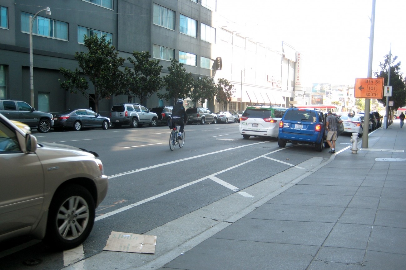
The SFMTA’s Folsom-Howard Streetscape Project will make it safer and more pleasant to walk, bike, shop and live along Folsom and Howard streets.