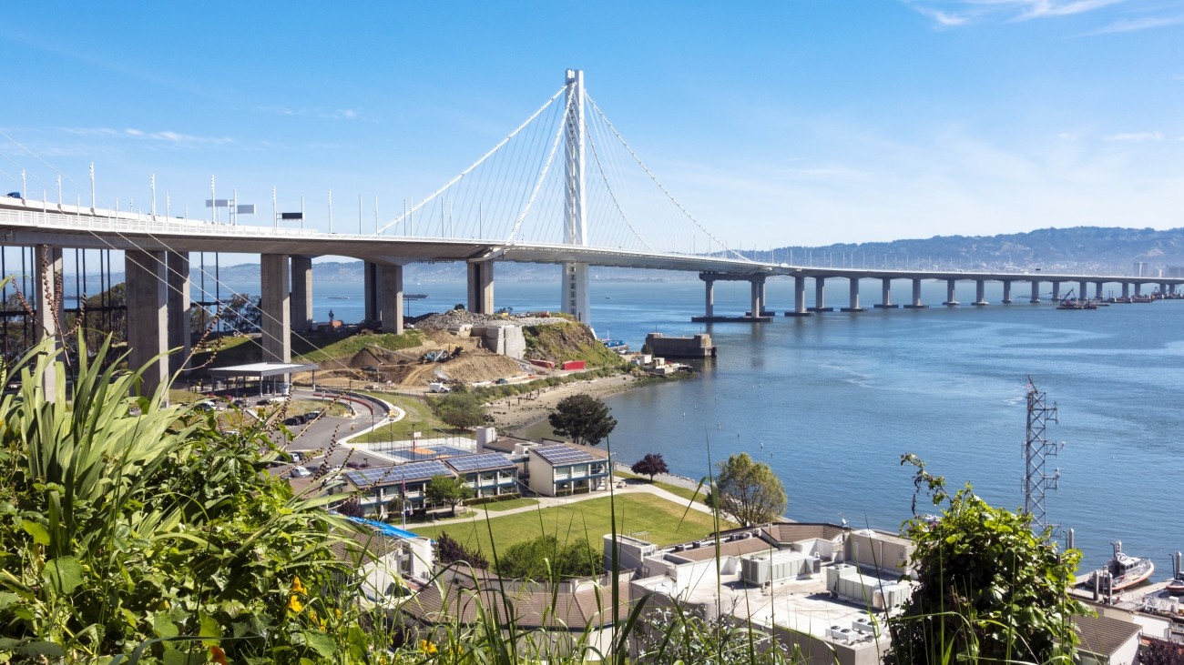
View to the east from Vista Point. Photo: Sergio Ruiz, flickr
Introduction
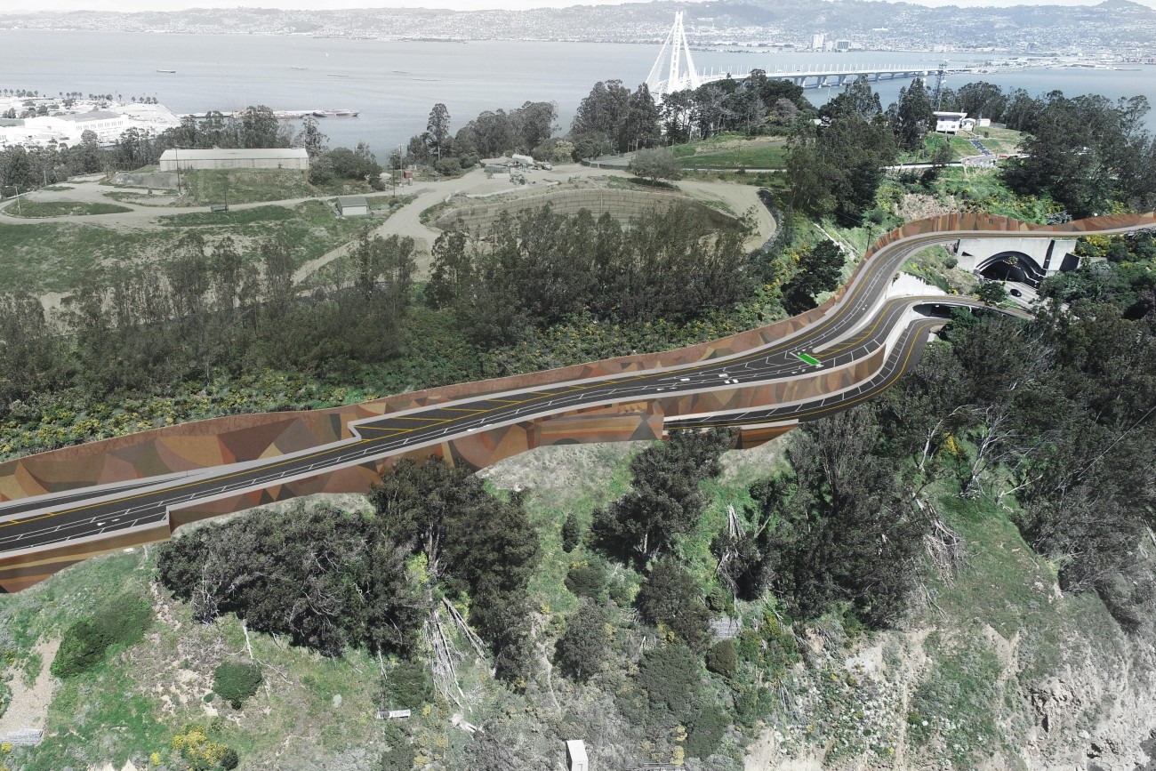
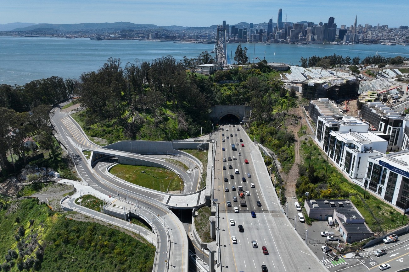
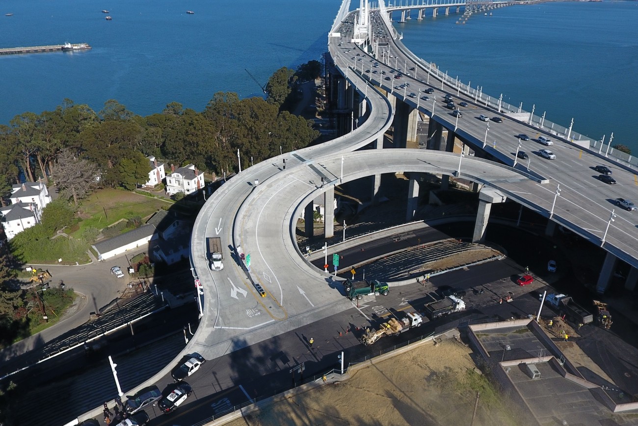
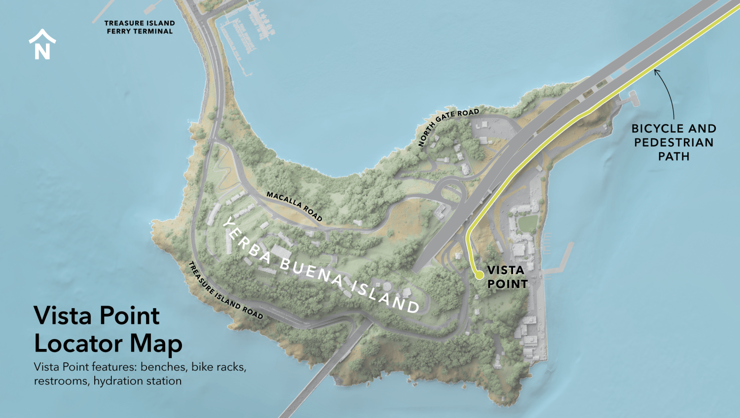
Vista Point on Yerba Buena Island is a scenic rest stop on Yerba Buena Island at the end of the Bay Bridge East Span Path. Featuring restrooms, benches, a hydration station, and bike racks, Vista Point offers sweeping views of the East Span of the Bay Bridge, San Francisco Bay, and Oakland.
Yerba Buena Island's Vista Point is open to cyclists and pedestrians weekdays and weekends on the same schedule as the Bay Bridge East Span path.
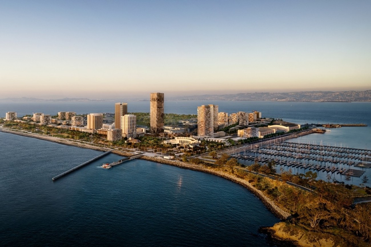
Notice about Bike/Pedestrian Access to Treasure Island
See details about Treasure Island access.
Shuttle to Treasure Island
The shuttle was discontinued due to COVID-19 restrictions. It is unknown at this time if the shuttle service will resume.
Cost & Funding
The Transportation Authority and Bay Area Toll Authority each contributed $1 million to design, build, and maintain Vista Point on Yerba Buena Island.
Project Partners
The Transportation Authority led the Yerba Buena Island Vista Point project in cooperation with the Metropolitan Transportation Commission’s Bay Area Toll Authority, Caltrans, and the Treasure Island Development Authority. Construction was carried out under a license agreement with the U.S. Coast Guard, which owns the site.
Future Bay Bridge West Span Bike Path
Local agencies are studying whether we can eventually extend the Bay Bridge Bicycle and Pedestrian Path Span path around Yerba Buena Island and across the West Span of the bridge into downtown San Francisco. The biggest challenge remains financial—estimated costs for a project of this type run into the hundreds of millions of dollars. Regional Measure 3 funds could be used to support the path, but stakeholders have not yet identified the significant amount of funding needed for the project.
Resources
Treasure Island Development Authority website
Metropolitan Transportation Commission: Bay Bridge East Span Path
Contact
info@sfcta.org
Related programs