Photo by SFMTA Photography Department
The Transportation Authority Board approved the District 2 Safety Study Final Report at the March 10 meeting. The board gave final approval at the March 24 meeting.
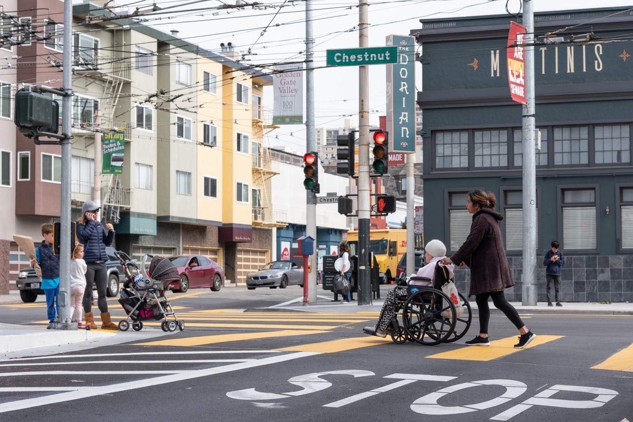
The District 2 Safety Study was requested by former District 2 Transportation Authority Board member Catherine Stefani to address traffic safety challenges and barriers to access near places that serve and attract vulnerable road users, such as hospitals, schools, and parks. The Transportation Authority led the study in collaboration with the SFMTA.
The study responds to community concerns about speeding, distracted driving, and pedestrian safety in five District 2 neighborhoods: the Marina, Pacific Heights, Anza Vista, Presidio Heights, and Cathedral Hill. The final report recommends near-term, quick-build improvements and mid- to longer-term strategies to improve safety for pedestrians, cyclists, and other vulnerable road users.
Recommendations were developed with feedback from two rounds of community outreach, including online surveys, in-person pop-up events, and presentations at community meetings.
Near-term recommendations include:
- Pedestrian visibility improvements and an activated blank-out “No Right Turn” sign at Bay Street and Laguna Street in the Marina
- Traffic calming near Lafayette Park and color curb changes at Clay Street and Webster Street in Pacific Heights
- Speed humps or cushions on six residential streets in the Anza Vista neighborhood
- Improved bike wayfinding, pavement markings, Lead Pedestrian Intervals, and “No Turn on Red” signage at Masonic Avenue and Geary Boulevard
- Secure bike parking locations near major attractors in Presidio Heights
- Painted safety zones at up to five intersections in Cathedral Hill to increase pedestrian visibility
The study also recommends a longer-term study and redesign of the Bay Street and Laguna Street intersection, including improved bike lane connections to Fort Mason Park.
The planning-level cost estimate for near-term quick-build recommendations is $430,000, to be funded with Neighborhood Program sales tax funds held in reserve for this purpose. Detailed design is expected to begin in late 2026, with construction in 2027. The longer-term intersection redesign is estimated at $200,000 to $250,000. The Transportation Authority will collaborate with Board Member Sherrill’s office, SFMTA, and other City agencies to identify funding for the longer-term recommendations.
Related Content