Photo by Sergio Ruiz
This month the Transportation Authority Board voted to approve the Great Highway Concepts Evaluation Final Report. The board will vote to make a final approval at the July 13 Transportation Authority Board meeting.
The Great Highway Concepts Evaluation began as part of the District 4 Mobility Study, which was requested by Board Member Gordon Mar (District 4). In coordination with Board Member Mar’s office, we prioritized and separated the Great Highway Concepts Evaluation from the District 4 Mobility Study, which will be presented to the board in late July.
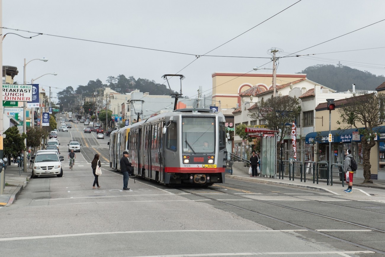
The District 4 Mobility Study explored opportunities to increase walking, biking, and transit options in the Outer Sunset and Parkside neighborhoods, with solutions including neighborways, improved access to commercial corridors, local and regional transit connections, and safety improvements for Lincoln Way.
Background
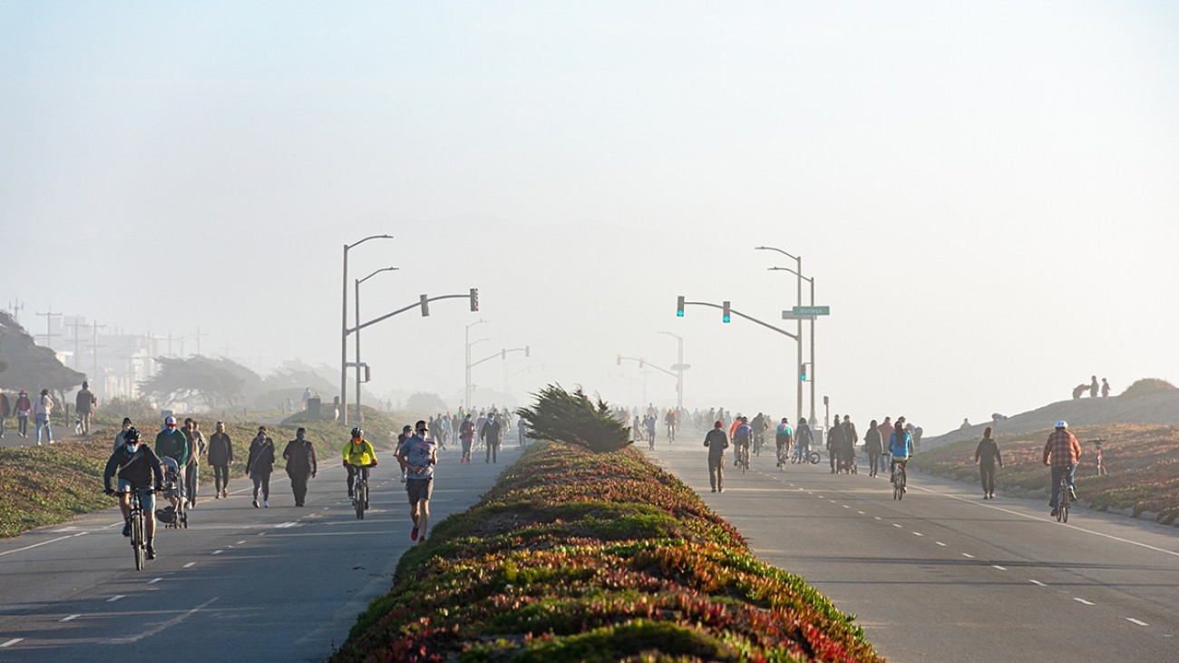
The Upper Great Highway is a four-lane roadway and coastal trail under the jurisdiction of the San Francisco Recreation and Park Department and maintained by SF Public Works. Traffic on the Upper Great Highway and the surrounding street network and multimodal transportation system is managed by SFMTA. As part of the city’s response to the COVID pandemic, the Recreation and Park Department temporarily repurposed the Great Highway to be a promenade for recreational use in early 2020.
Evaluation
The study team explored five concepts for the long-term future of the Great Highway, based on an evaluation of “normal” travel patterns experienced before the pandemic.
- Concept 1: Four-lane Roadway
- Concept 2: Promenade/Two-way Roadway
- Concept 3: Full Promenade/Complete Vehicle Closure
- Concept 4: Timed Promenade (Weekends)
- Concept 5: Promenade/One-way Roadway
Evaluation factors reflected several City policies and goals including:
- Climate change/Resiliency
- Recreation, well-being, and health
- Transit first/Sustainable mode choices
- Vision Zero/Safety
- Economic Vitality/Mobility
- Costs (capital and operating)
The alternative concepts each have different strengths and weaknesses. For example:
- The two-way roadway on one side of the existing roadway (Concept 2) would have some of the benefits of a full vehicle closure, but would have much higher costs (at least $10-15 million higher) due to the need to reconstruct the roadway, including removing the existing median between the two directions.
- Complete vehicle closure (Concept 3) would provide recreation, wellness, and bicycle/pedestrian benefits but requires significant improvements to address traffic and transit impacts from diversions. There is also greater schedule and delivery risk associated with the unknown site conditions and higher cost of this option.
- The Timed Promenade (Concept 4) is expected to provide some of the benefits of a full promenade, but would likely require all of the cost of the full promenade.
- The Promenade/One-way Roadway (Concept 5) also has some of the benefits of the full promenade and somewhat reduced costs and risks for delivering transportation improvements due to fewer traffic and transit impacts at Lake Merced Boulevard and Skyline Boulevard.
- For any closure concept, there may be additional traffic calming needed on Outer Sunset streets, depending on results of the traffic calming conducted to date as well as design efforts to ensure 28 and 29 Muni line operations are not adversely affected at traffic hotspots.
The additional network improvements needed to minimize the impacts of traffic diversions and other potential safety and transit impacts include:
- Chain of Lakes. Both our analysis and community observations indicated significant traffic volumes and delays on Chain of Lakes through Golden Gate Park. Improvements are needed at Chain of Lakes for all concepts.
- Lake Merced Boulevard. For vehicles diverted to Sunset southbound, Lake Merced Boulevard to Skyline Boulevard is the most direct connection to replace the Upper Great Highway to Sloat to Skyline movement that is anticipated with a closure. Improvements are needed at Lake Merced Boulevard and Skyline Boulevard for the full closure and weekend closure (Concepts 3 and 4).
- Sunset/Sloat Intersection. While this presents the most direct path of travel to Skyline Boulevard, improvements may be needed to help facilitate and encourage safe travel between Sunset and Sloat southbound. Improvements may be needed here for Concepts 3 and 4 to balance southbound traffic between Lake Merced Boulevard and Sloat Boulevard.
During the meeting, some board members expressed support for the Promenade/Two-way Roadway (Concept 2). This concept has the highest cost but enables shared use of the roadway with reduced traffic impacts. The board ultimately adopted the study while amending the approval resolution to clarify that all alternatives are feasible and urging several follow-on actions to be considered by city agencies, including monitoring use of the facility by individuals’ race and income, prioritizing solutions for southern zone intersections along Sloat Boulevard that will be impacted by the planned closure of the Great Highway Extension, development of north-south local and regional public transit services, and greater attention to maintenance of public restrooms.
What’s Next
The SFMTA and Recreation and Park Department are exploring near-term options for the Great Highway and will be considering the concepts and findings in our evaluation of long-term options, conducting further analysis, and collecting additional community feedback to inform their recommendation.
Ultimate approval of any near-term changes and the long-term configuration of the Great Highway rests with the San Francisco Board of Supervisors.
Learn more about the Great Highway at the Recreation and Park Department website.
Resources
June 22 Transportation Authority Board Great Highway Concepts Evaluation Memo (PDF)
Great Highway Concepts Evaluation Final Report (PDF)
Great Highway Concepts Evaluation Final Report Appendices (PDF)
Related Content