Introduction
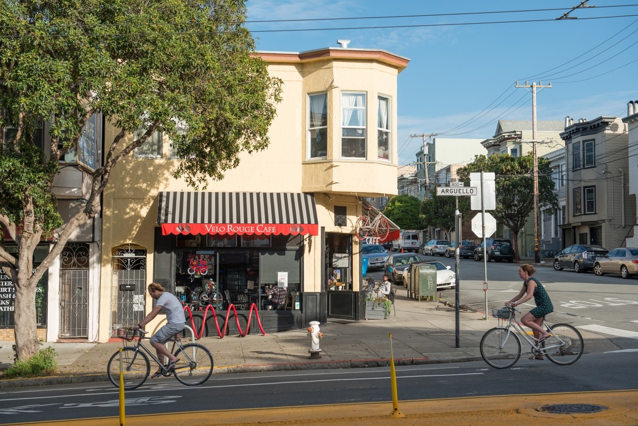
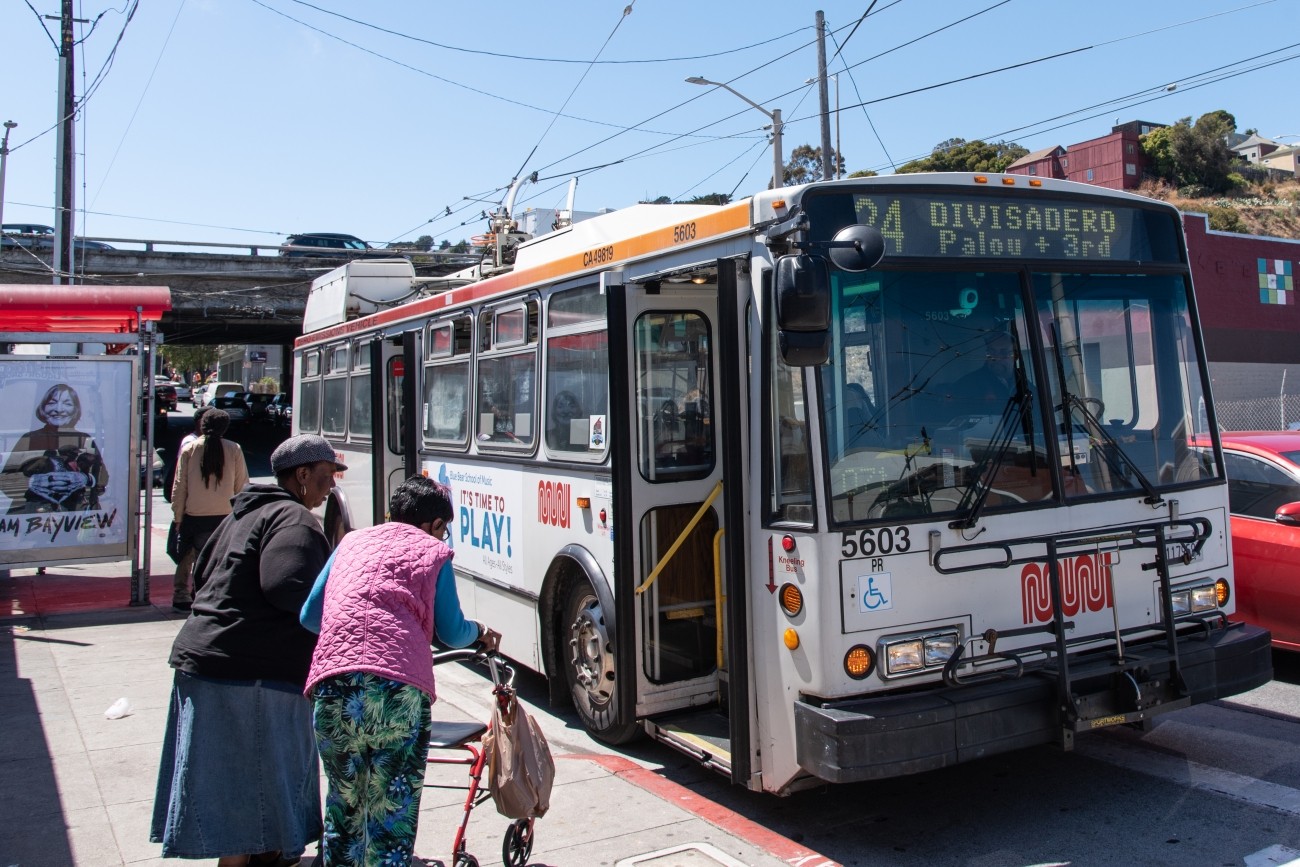
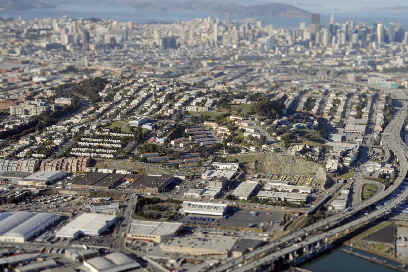
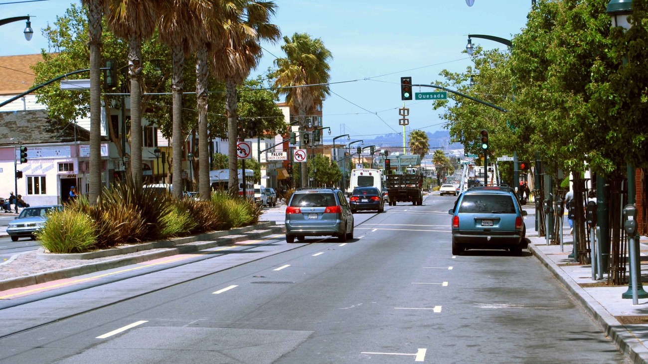
Many District 10 residents have few reliable and efficient transportation options. Neighborhoods such as the Bayview, Dogpatch, Potrero Hill, and Visitacion Valley can be challenging to navigate due to congestion, crowded buses, and transportation barriers like freeways. As a result, many residents drive to make everyday trips.
The Transportation Authority led the 2018 District 10 Mobility Management Study to identify a set of non-infrastructure strategies to reduce vehicle miles of travel in the district through partnerships between community organizations, developers, and emerging mobility service providers. The study focused on near-term, lower-cost, non-infrastructure concepts that address travel demand to, from, and within District 10.
This project was done in coordination with other efforts in the area, including the SFMTA's Bayview Community-Based Transportation Plan which focuses more on transportation infrastructure improvements.
Project/Study Partners
The Transportation Authority conducted this study in partnership with the SFMTA.
Cost and Funding
The Transportation Authority thanks former District 10 Supervisor and Transportation Authority Board Member Malia Cohen for recommending the District 10 Mobility Management Study for Neighborhood Program funding. Additional funding for this report was provided by a grant from the Toyota Mobility Foundation, by federal Surface Transportation Program funds provided by the Metropolitan Transportation Commission through its Community-Based Transportation Planning Program, and by Proposition K local transportation sales tax funds.
Resources
Final Report: District 10 Mobility Study, 2018 (PDF)
Presentation: Transportation Authority Board, December 4, 2018 (PDF)
Other Transportation Efforts Happening in District 10
Bayview Community Based Transportation Plan
Dogpatch Parking Management project
Candlestick Point/Hunters Point Shipyard
Contact
2018 District 10 Mobility Study Recommendations
The District 10 Mobility Study identified 10 recommendations that fit in four non-infrastructure categories. Download the full report (PDF).
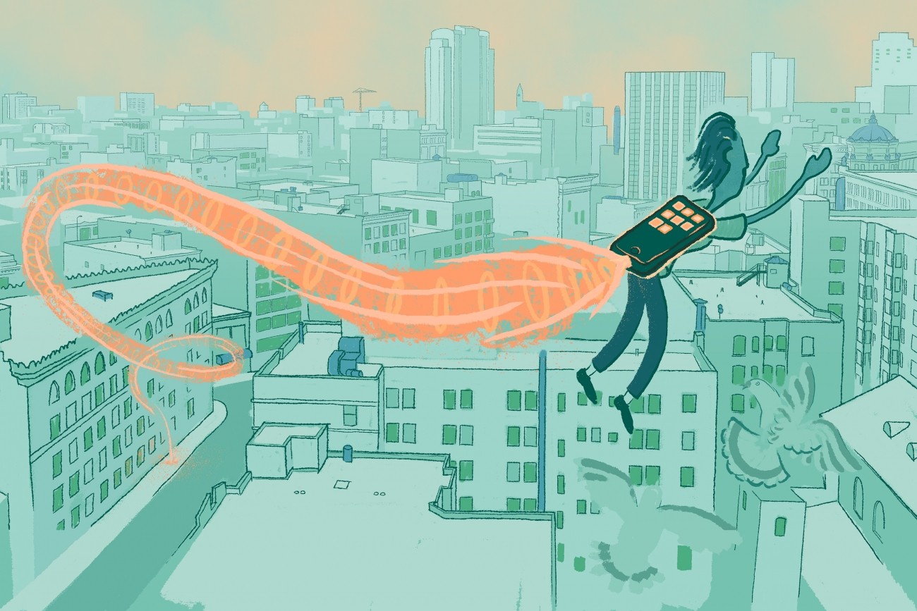
New Mobility Services and Technologies
Many “new mobility services and technologies” use technology to automate transportation routing, support ride matching/sharing, and assist with locking/unlocking vehicles, among other features. Many offer as-needed, on-demand transportation.
Recommendations
- Expand bike, scooter, and moped sharing in District 10
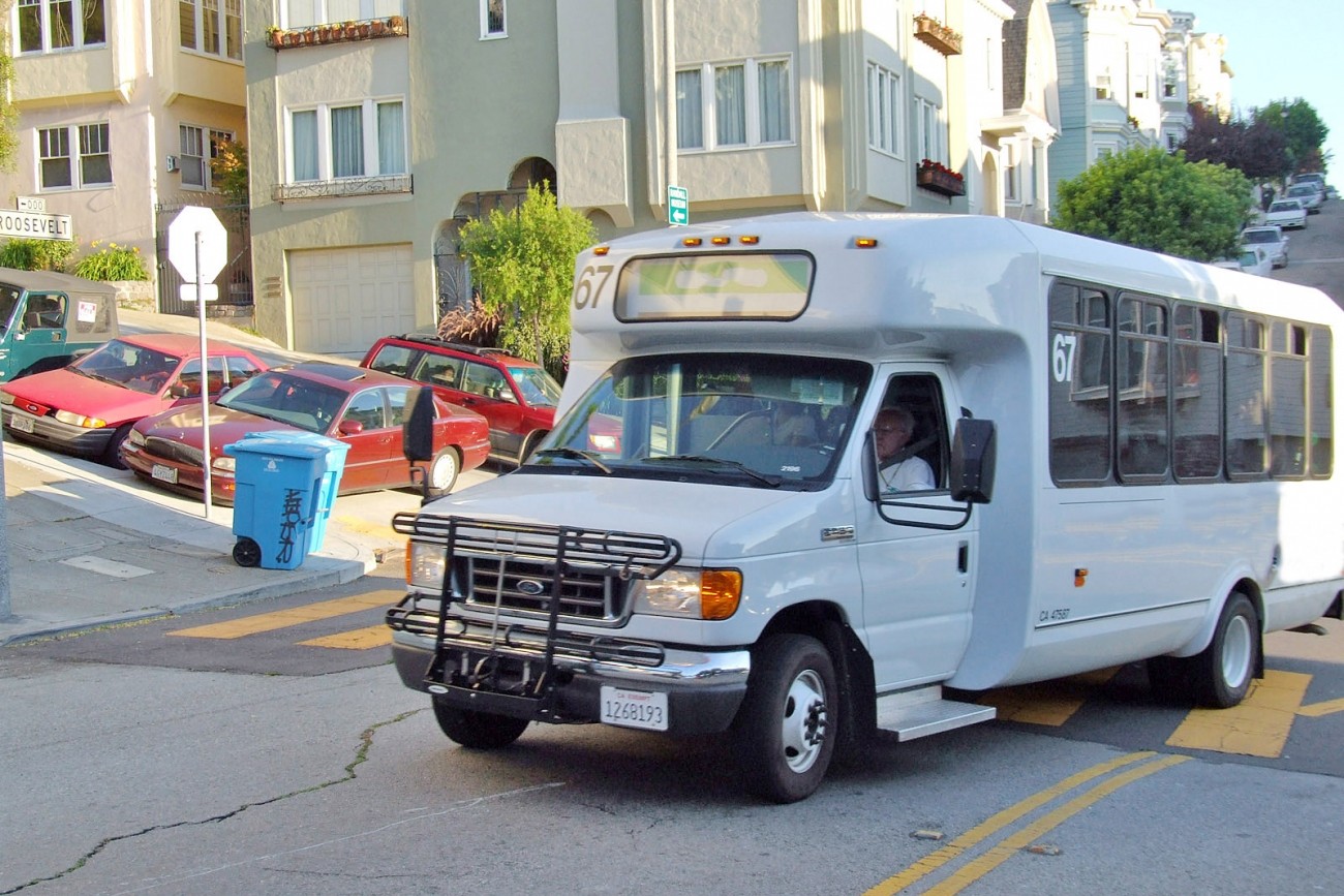
- Pilot and coordinate microtransit shuttles to local transit hubs
- Publicize and expand microtransit shuttles for shopping trips
- Expand car share in District 10
Mobility as a Service
Mobility as a Service describes the use of technology to substitute car ownership for a range of mobility services, often accessible on-demand, through a unified user interface that integrates trip planning, hailing, navigation, and payment.
Recommendations
- Pilot mobility kiosks in key destinations to provide navigation and trip-planning resources
- Pilot a school carpool program
Incentives and Rewards
Incentives and rewards aim to reduce driving or congestion by creating financial disincentives for vehicle trips (including during times of day or in particular areas) and to provide funding for alternatives to driving.
Recommendations
- Pilot mobile/web-based rewards tracker to encourage non-driving trips
- Implement managed lanes (eg. bus-only, carpool, or express lanes)
Partnership Tools
Partnership tools and coordination strategies can reduce seams across information, processes, and services for the traveler, and pool resources at a larger scale to improve the reach and efficiency of programs.
Recommendations
- Establish programs to provide residents and workers of new developments with transportation and trip planning resources
- Consider a pilot to dedicate any increases in parking funds to reduce drive-alone trips and improve transportation access, affordability, and equity in District 10
District 10 Transportation Design Labs
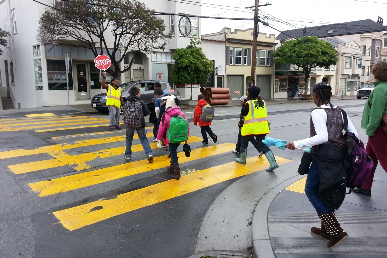
In summer and fall 2018, the Transportation Authority hosted hands-on, collaborative workshops with the District 10 community to brainstorm and refine ideas about how we can improve transportation options in areas like the Bayview, Dogpatch, Potrero Hill, and Visitacion Valley.
At the workshops, participants discussed the possibility of a shared community van, neighborhood carpool system, or other community programs that could help people get around. These ideas would enhance the Muni improvements that are already coming to District 10.
At our final workshop, we worked with the community to develop pilot concepts. We compiled these concepts into a final report and presented them to the Transportation Authority board for adoption in December 2018.
The District 10 Transportation Design Labs were hosted by the Transportation Authority in partnership with Reflex Design Collective. We thank the SFMTA for joining us at these workshops to answer questions and provide information about their planning efforts in the area.
Get email updates on this project
Related programs