Features
Image
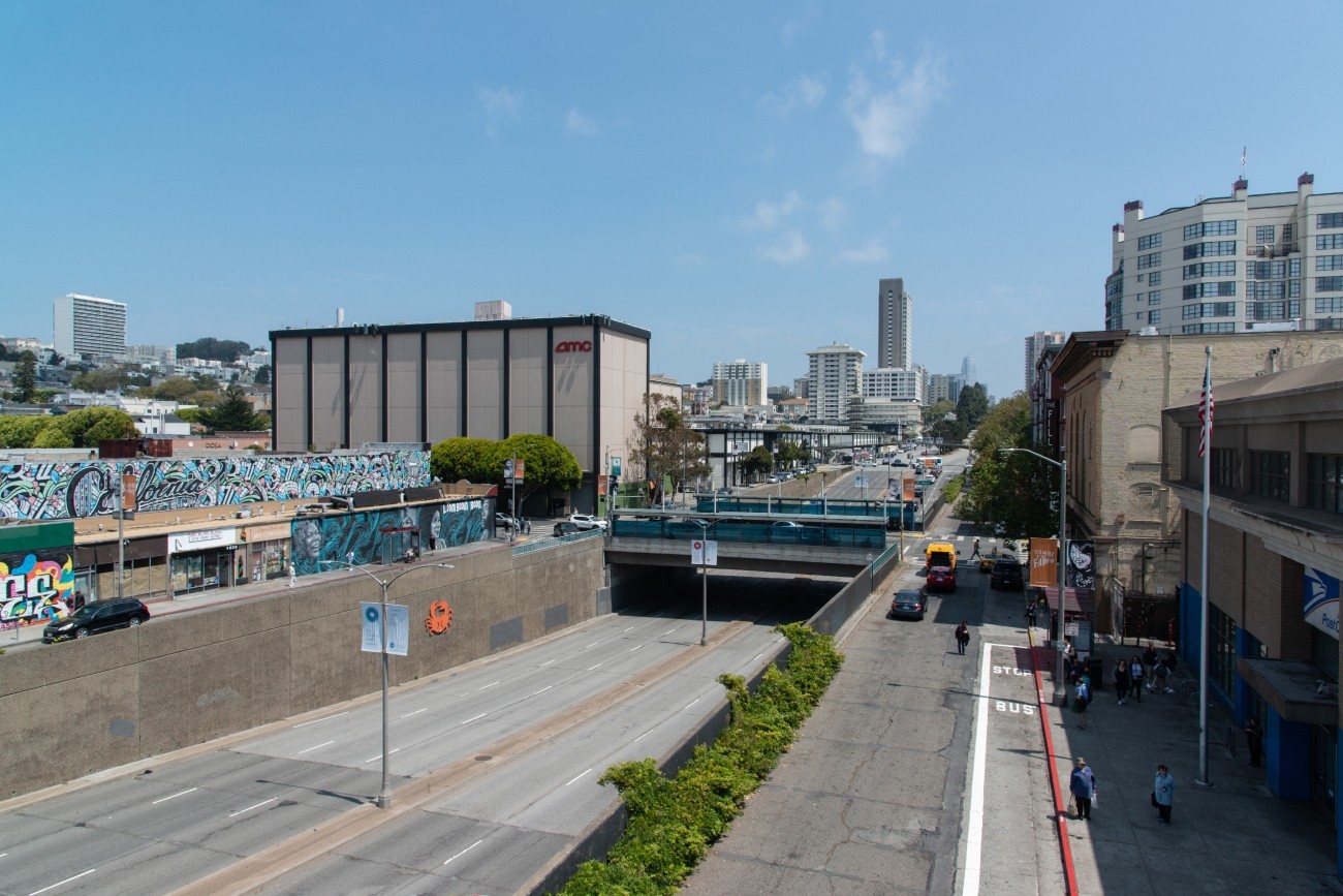
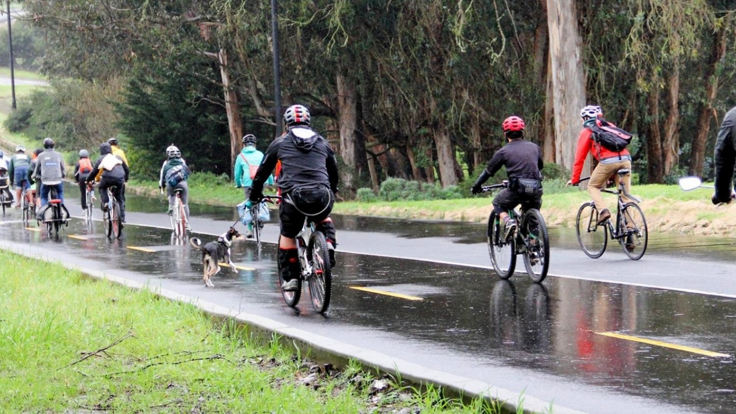
The project will develop transportation and land use concept designs that rethink the urban renewal-era Geary Expressway and advance a high-quality multimodal, mixed-use transit-oriented area to connect the Japantown and Fillmore/Western Addition neighborhoods and promote community livability.
Image
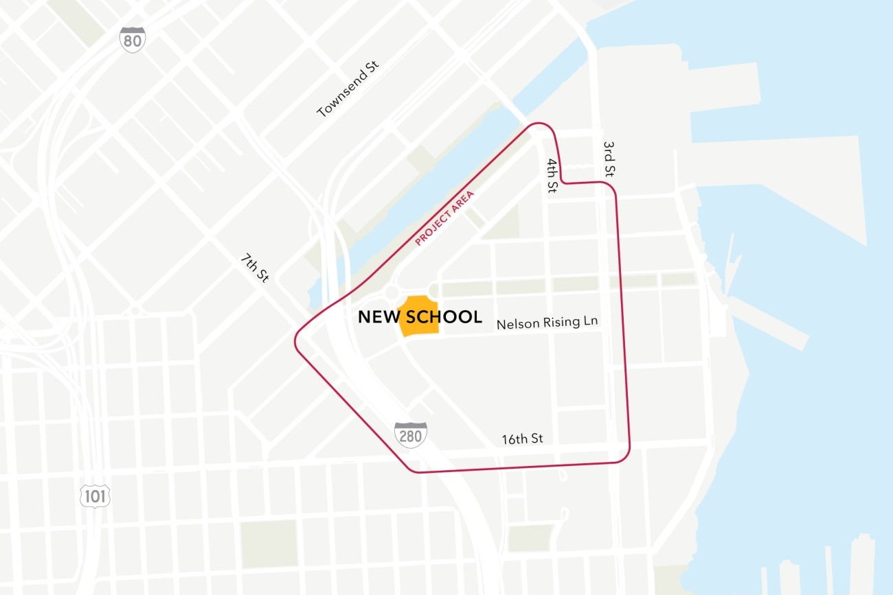
This project will analyze connectivity between a new public school site in the Mission Bay neighborhood, the existing low-stress active transportation network, and existing and planned transit. The project will then design infrastructure improvements to mitigate key barriers to active transportation. The project will also coordinate expected transportation programs and improvements from projects in the area to ensure school access is supported.
Image
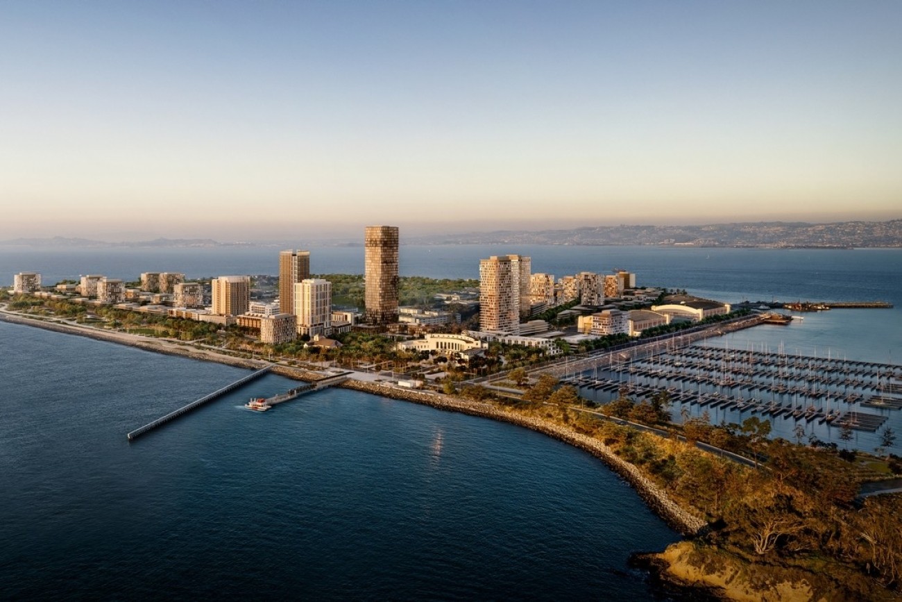
The Treasure Island Transportation Program will address the island's growing transportation needs with a goal to have at least 50 percent of trips made by transit instead of private vehicles.