This website uses cookies and similar technologies. By using our website, closing this banner or clicking "I agree", you consent to our use of cookies. For additional details, please read our privacy policy.

I AGREE

Click to sign up for our monthly email newsletter or project updates.

SFCTA

Main navigation

  • Projects & Studies
    • Featured
    • Active
    • Capital Projects
    • Neighborhood Transportation Planning
    • Long-Range Planning
    • Congestion Management
    • All
  • Funding
    • Half-cent Sales Tax for Transportation
    • Prop AA Vehicle Registration Fee
    • TNC Tax
    • Transportation Fund for Clean Air
    • One Bay Area Grant Program
    • State Transit Assistance County Block Grant
    • Funding Opportunities
  • Policies & Initiatives
    • Autonomous Vehicle (AV) Technology
    • Climate Action
    • Closing the Funding Gap
    • Complete Streets
    • Emerging Mobility
    • Equity Priority Communities
    • Neighborhood Program
    • Pricing & Incentives
    • Transit-First Policy
    • Transportation Demand Management
    • Vision Zero
  • Tools & Data
    • Maps & Data
    • Transportation Analysis Tools
  • What's Happening
    • Meetings, Agendas & Events
    • Blog
    • Press Releases
    • Stay Connected
  • About Us
    • Who We Are
    • Work with Us
    • Annual Reports
    • Governing Policies
    • Contact Us

One Bay Area Grant Cycle 4 Call for Projects: Applications due by July 7, 2026

San Francisco transportation agencies are invited to apply for funding for Cycle 4 of the One Bay Area Grant.

Learn more

Features

Image
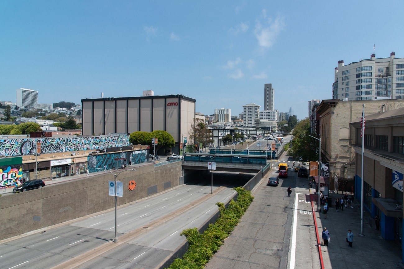
The Geary Boulevard underpass at Fillmore Street, seen looking east toward Downtown San Francisco.

Western Addition - Geary Boulevard Community Study

The project will develop transportation and land use concept designs that rethink the urban renewal-era Geary Expressway and advance a high-quality multimodal, mixed-use transit-oriented area to connect the Japantown and Fillmore/Western Addition neighborhoods and promote community livability.
Image
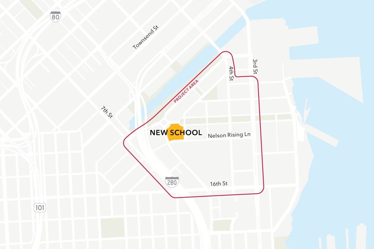
Map of the project study area, bounded by 7th St, 16th St, 3rd St, and Channel St

Mission Bay School Access Plan

This project will analyze connectivity between a new public school site in the Mission Bay neighborhood, the existing low-stress active transportation network, and existing and planned transit. The project will then design infrastructure improvements to mitigate key barriers to active transportation. The project will also coordinate expected transportation programs and improvements from projects in the area to ensure school access is supported.
Image
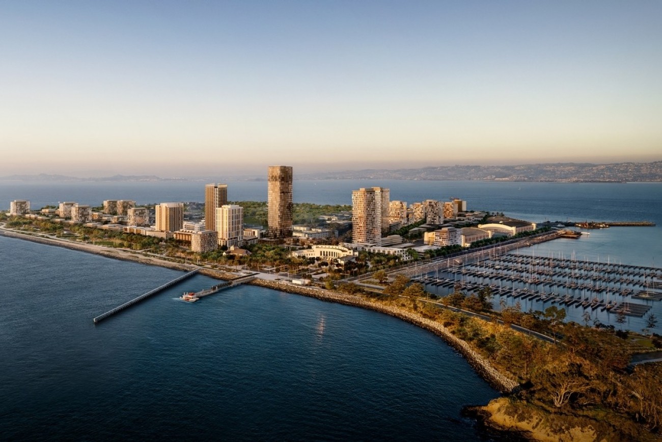
Rendered image of an island with buildings and a port in the nearby lagoon. There is a ferry pulling up to a dock in the foreground.

Treasure Island Transportation Program

The Treasure Island Transportation Program will address the island's growing transportation needs with a goal to have at least 50 percent of trips made by transit instead of private vehicles.
[site.name]

Social media links

  • Follow us on Facebook Follow us on Facebook
  • Follow us on Instagram Follow us on Instagram
  • Follow us on LinkedIn Follow us on LinkedIn
  • Follow us on X Follow us on X
  • Follow us on YouTube Follow us on YouTube

Stay Connected

Sign up for our monthly email newsletter The Messenger, and get project-specific updates.

Sign Up

Contact

info@sfcta.org
415-522-4800

1455 Market Street, 22nd Floor
San Francisco, CA 94103
United States

View our privacy policy, sweepstakes rules, and terms and conditions.

carrot-left carrot-down arrow-right close menu download carrot-right search logo facebook twitter X linkedin youtube instagram carrot-left pdf video zip