This website uses cookies and similar technologies. By using our website, closing this banner or clicking "I agree", you consent to our use of cookies. For additional details, please read our privacy policy.

I AGREE

SFCTA

Main navigation

  • Projects & Studies
    • Featured
    • Active
    • Capital Projects
    • Neighborhood Transportation Planning
    • Long-Range Planning
    • Congestion Management
    • All
  • Funding
    • Half-cent Sales Tax for Transportation
    • Prop AA Vehicle Registration Fee
    • TNC Tax
    • Transportation Fund for Clean Air
    • One Bay Area Grant Program
    • State Transit Assistance County Block Grant
    • Funding Opportunities
  • Policies & Initiatives
    • Autonomous Vehicle (AV) Technology
    • Climate Action
    • Closing the Funding Gap
    • Complete Streets
    • Emerging Mobility
    • Equity Priority Communities
    • Neighborhood Program
    • Pricing & Incentives
    • Transit-First Policy
    • Transportation Demand Management
    • Vision Zero
  • Tools & Data
    • Maps & Data
    • Transportation Analysis Tools
  • What's Happening
    • Meetings, Agendas & Events
    • Blog
    • Press Releases
    • Stay Connected
  • About Us
    • Who We Are
    • Work with Us
    • Annual Reports
    • Governing Policies
    • Contact Us

Projects & Studies

We plan, fund, and deliver projects large and small across the city.

Select category

Grid List
Image
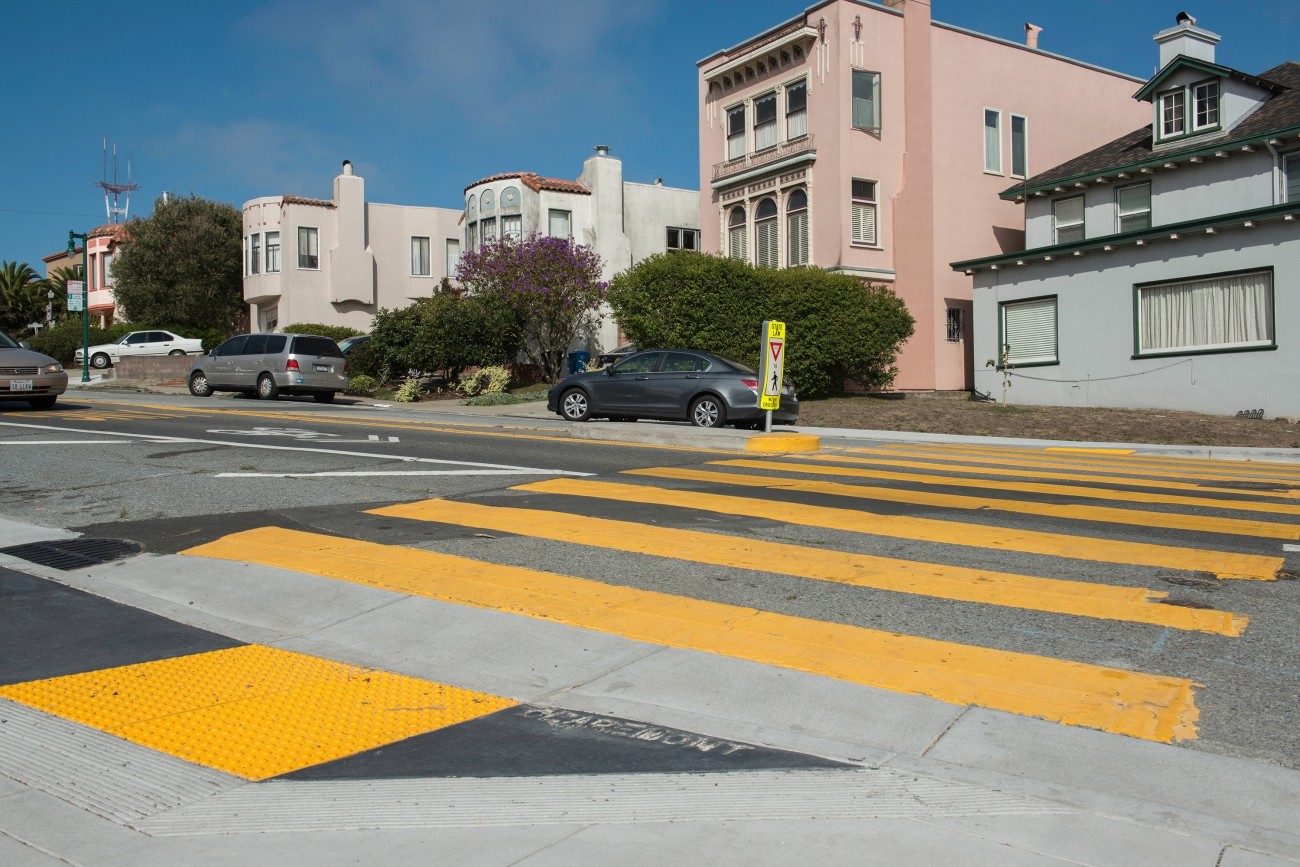
Crosswalk in School Zone on Claremont Boulevard (Photo: SFMTA Photo Department)

Participatory Budgeting Traffic Safety Priorities for District 7

Transportation Authority Board Member Norman Yee (D7) engaged District 7 residents in an inclusive participatory budgeting process to identify projects that will improve the safety and quality of its neighborhoods. Through this process, the residents and stakeholders requested traffic calming and pedestrian safety measures at specific locations.
Image
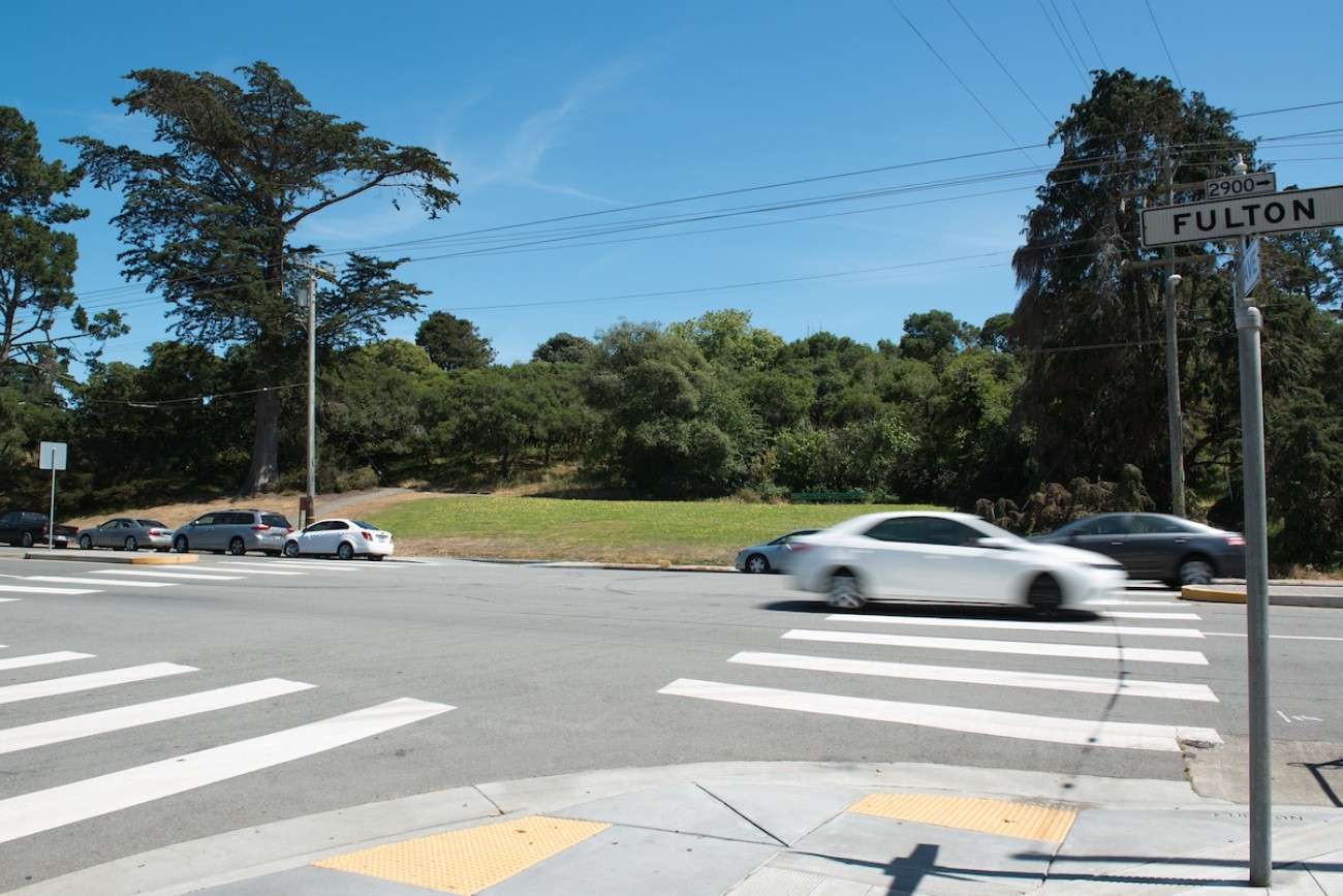
Uncontrolled Pedestrian Crossing on Fulton Street

Fulton Street Safety Project

The SFMTA will develop recommendations and conceptual designs for safety and accessibility improvements for up to 1.5 miles of Fulton Street between Stanyan and LaPlaya.
Image
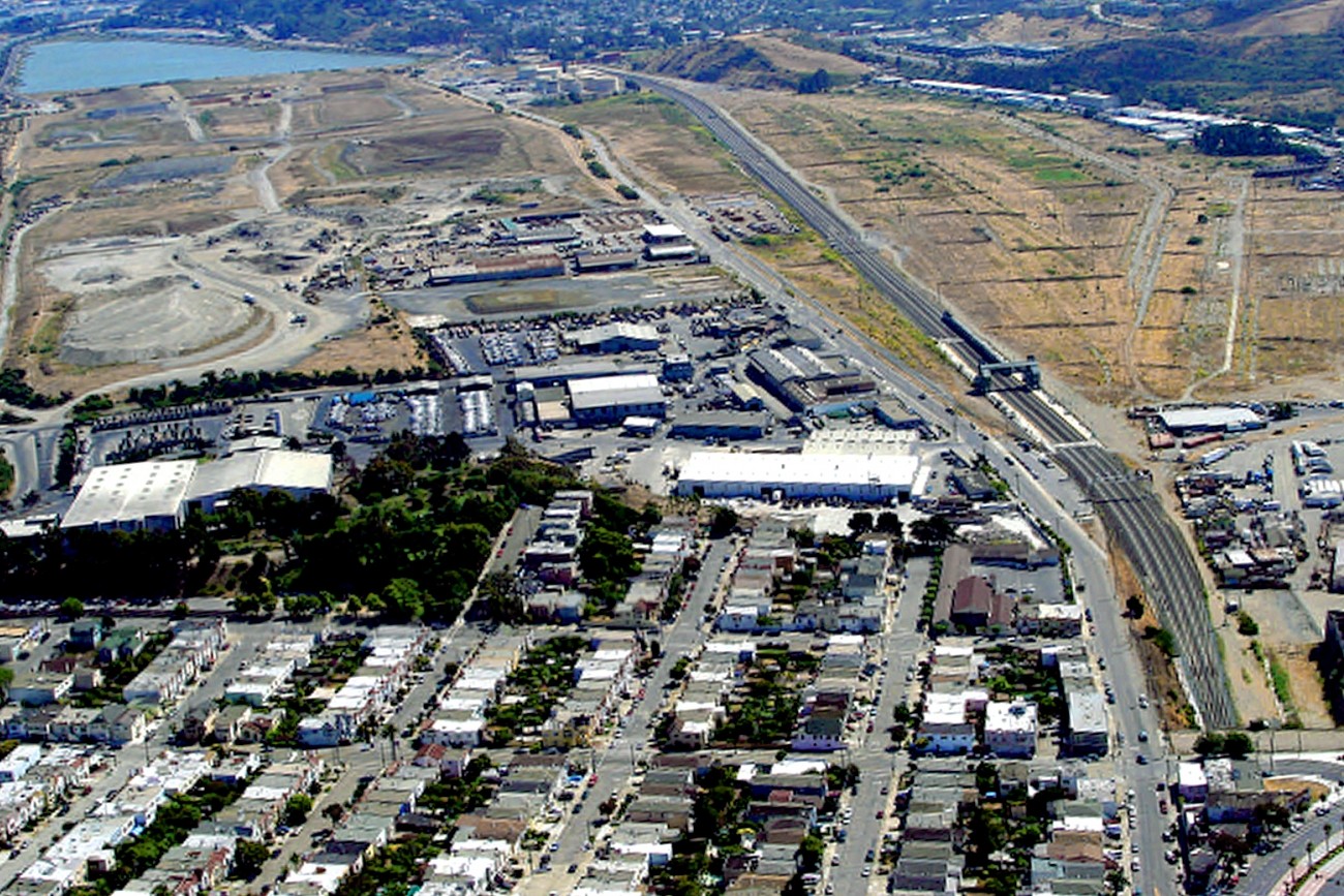
An aerial image of the study area

Bi-County Transportation Study

The Bi-County Transportation Study evaluated potential transportation improvements needed to address significant current and anticipated land use growth on both sides of the San Francisco/San Mateo county line.
Image
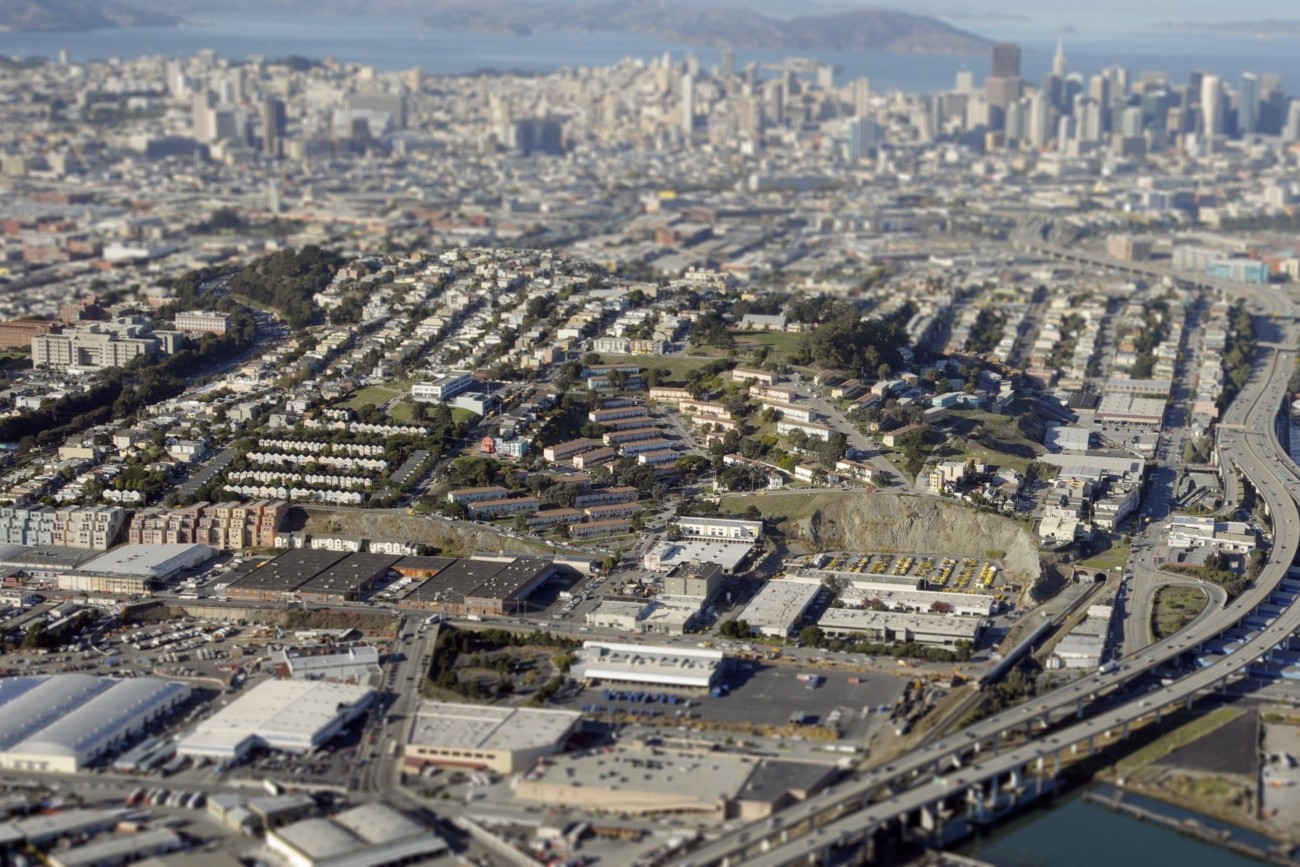
An aerial view of the Potrero Hill neighborhood

Potrero Hill Neighborhood Transportation Plan

This community-based transportation plan for the southern Potrero Hill neighborhood of San Francisco identified transportation priorities at the neighborhood scale.
Image
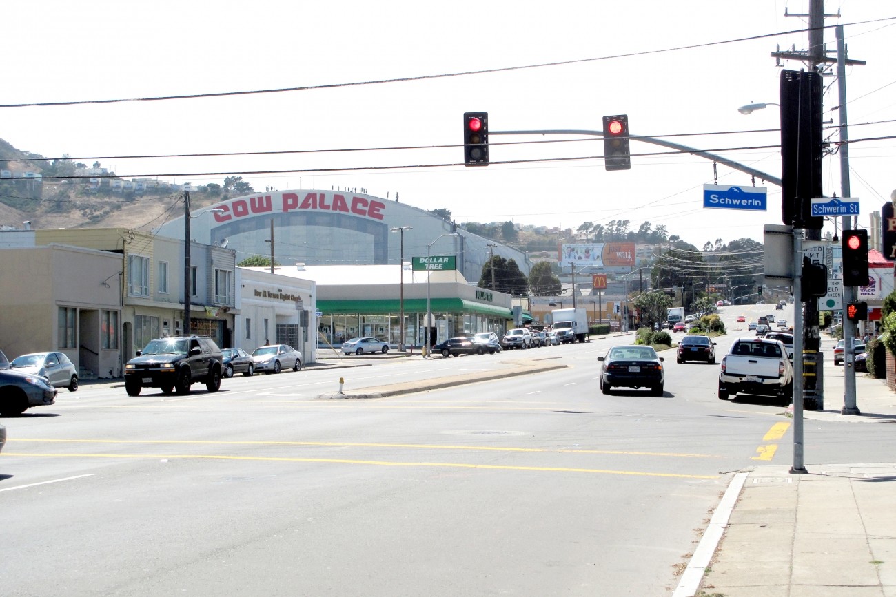
A view of Cow Palace from the Geneva Ave/Schwerin intersection

Geneva-Harney Bus Rapid Transit Feasibility Study

The Geneva-Harney Bus Rapid Transit line is a proposed rapid transit service that will provide existing and future neighborhoods along the San Mateo-San Francisco County border with a rapid bus connection to regional transit service.
Image
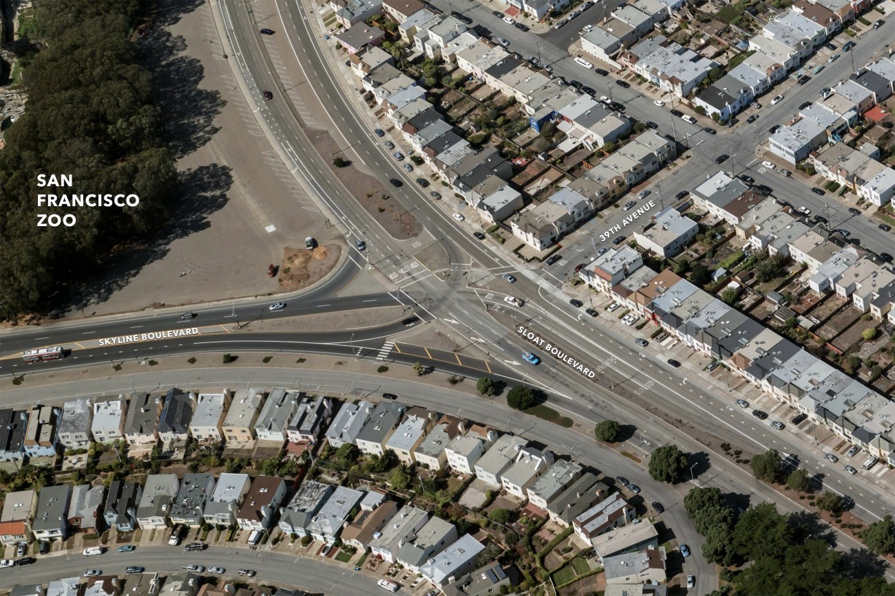
An aerial image of the intersection

Sloat/Skyline Intersection Alternatives

The SFMTA’s Sloat Skyline Intersection Alternatives Analysis looks to improve overall safety where Sloat Boulevard/HWY 35 intersects with Skyline Boulevard & 39th Avenue
Image
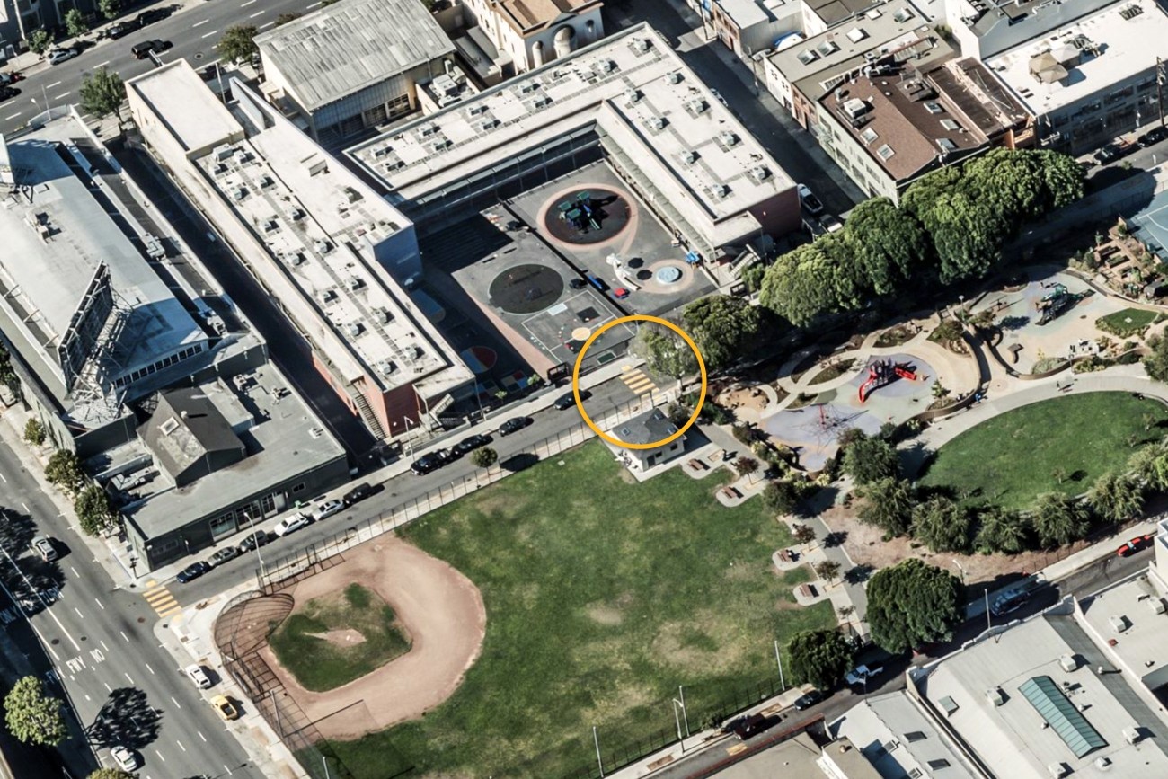
An aerial view of the crosswalk

Bessie Carmichael Crosswalk Project

The Bessie Carmichael Crosswalk project supported the City’s Vision Zero goal by making it safer for students to walk and bike to school. 

Image
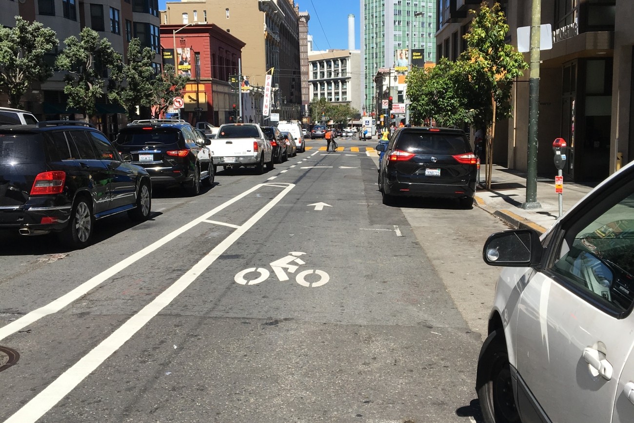
An image of the buffered bike lane

Golden Gate Avenue Buffered Bike Lane

As part of the SFMTA’s Golden Gate Avenue Safety Project, the agency reduced the number of traffic lanes and constructed an eastbound buffered bike lane on Golden Gate Avenue between Polk Street and Market Street.
Image
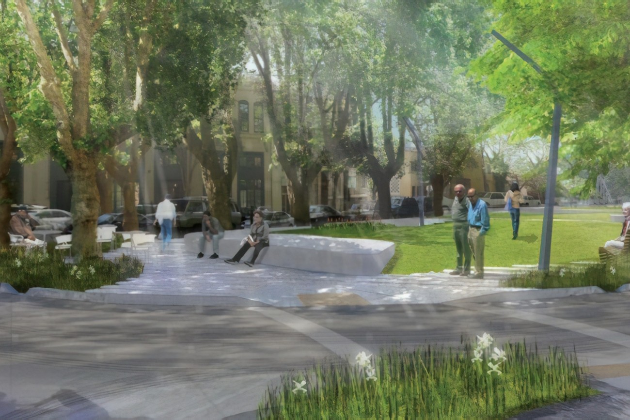
A rendering of the South Park Improvement Project

South Park Improvement Project

Park improvements include upgrades to the park’s infrastructure, new accessible paths, irrigation, drainage, site lighting, site furnishings, trees and landscaping, new children’s play area, large open meadow, several plazas, and traffic calming measures.
Image
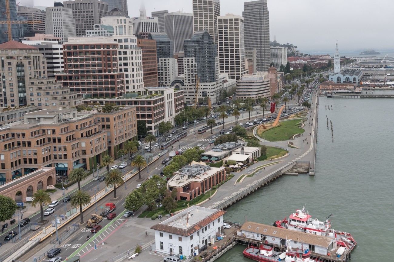
An aerial view of the SF waterfront including the Ferry building

Waterfront Transportation Assessment

Released in 2015, the SFMTA-led Waterfront Transportation Assessment analyzed transportation investments needed order to meet the needs of our growing city.

Pagination

  • Previous page Previous Page
  • Page 1
  • Page 2
  • Page 3
  • Page 4
  • Page 5
  • Page 6
  • Page 7
  • Page 8
  • Current page 9
[site.name]

Social media links

  • Follow us on Facebook Follow us on Facebook
  • Follow us on Instagram Follow us on Instagram
  • Follow us on LinkedIn Follow us on LinkedIn
  • Follow us on X Follow us on X
  • Follow us on YouTube Follow us on YouTube

Stay Connected

Sign up for our monthly email newsletter The Messenger, and get project-specific updates.

Sign Up

Contact

info@sfcta.org
415-522-4800

1455 Market Street, 22nd Floor
San Francisco, CA 94103
United States

View our privacy policy, sweepstakes rules, and terms and conditions.

carrot-left carrot-down arrow-right close menu download carrot-right search logo facebook twitter X linkedin youtube instagram carrot-left pdf video zip