Image
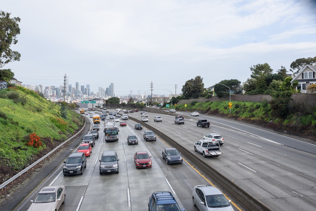
The Vision Zero Freeway Ramps Study will identify improvements for 11 freeway ramps across District 7, District 9, District 10, and District 11 to improve safety and connectivity.
Image
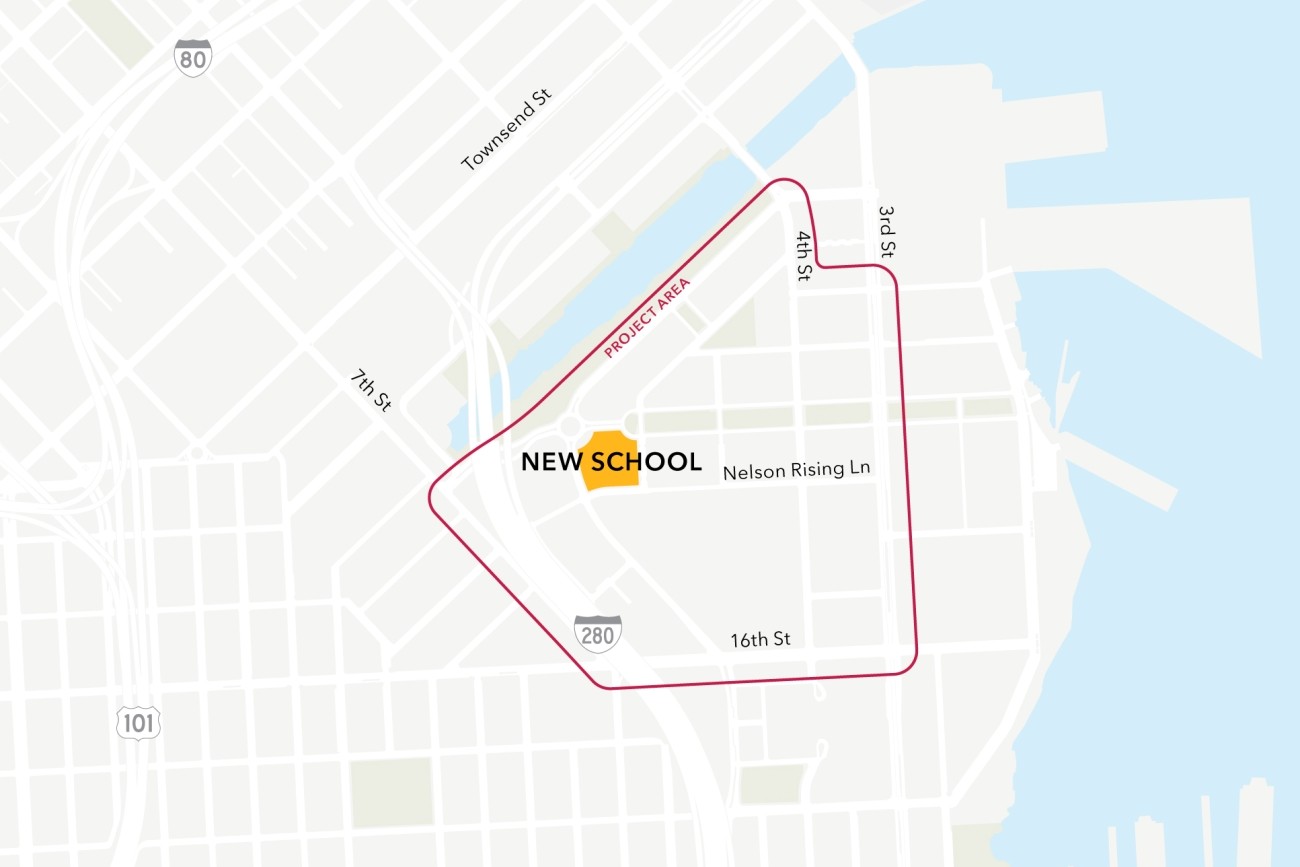
This project will analyze connectivity between a new public school site in the Mission Bay neighborhood, the existing low-stress active transportation network, and existing and planned transit. The project will then design infrastructure improvements to mitigate key barriers to active transportation. The project will also coordinate expected transportation programs and improvements from projects in the area to ensure school access is supported.
Image
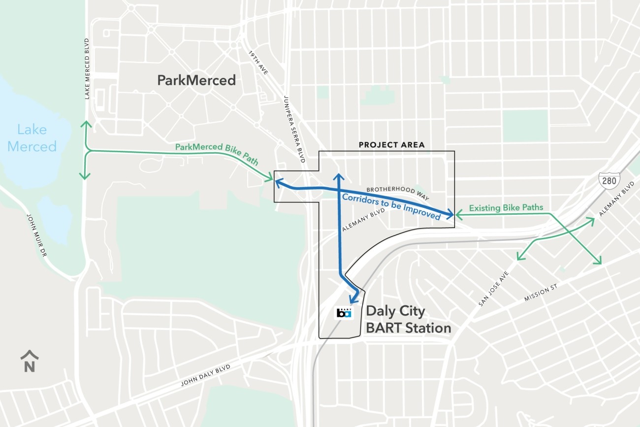
The Brotherhood Way Safety and Circulation Plan will develop near- and long-term concepts to improve safety, circulation, and connectivity through the Brotherhood Way and Alemany Boulevard corridors and on surrounding streets.
Image
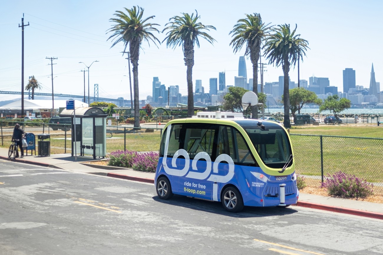
The Treasure Island Loop autonomous shuttle pilot operated from August to December 2023 and has concluded. Passenger service was discontinued in December 2023.
Image
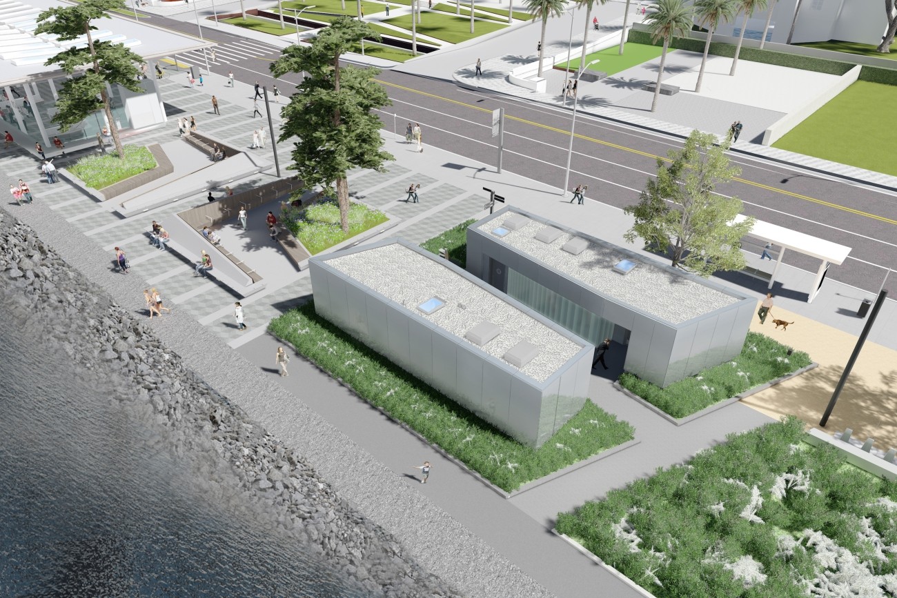
The Treasure Island Ferry Terminal Enhancements Project will construct new transit shelters and public restrooms.
Image
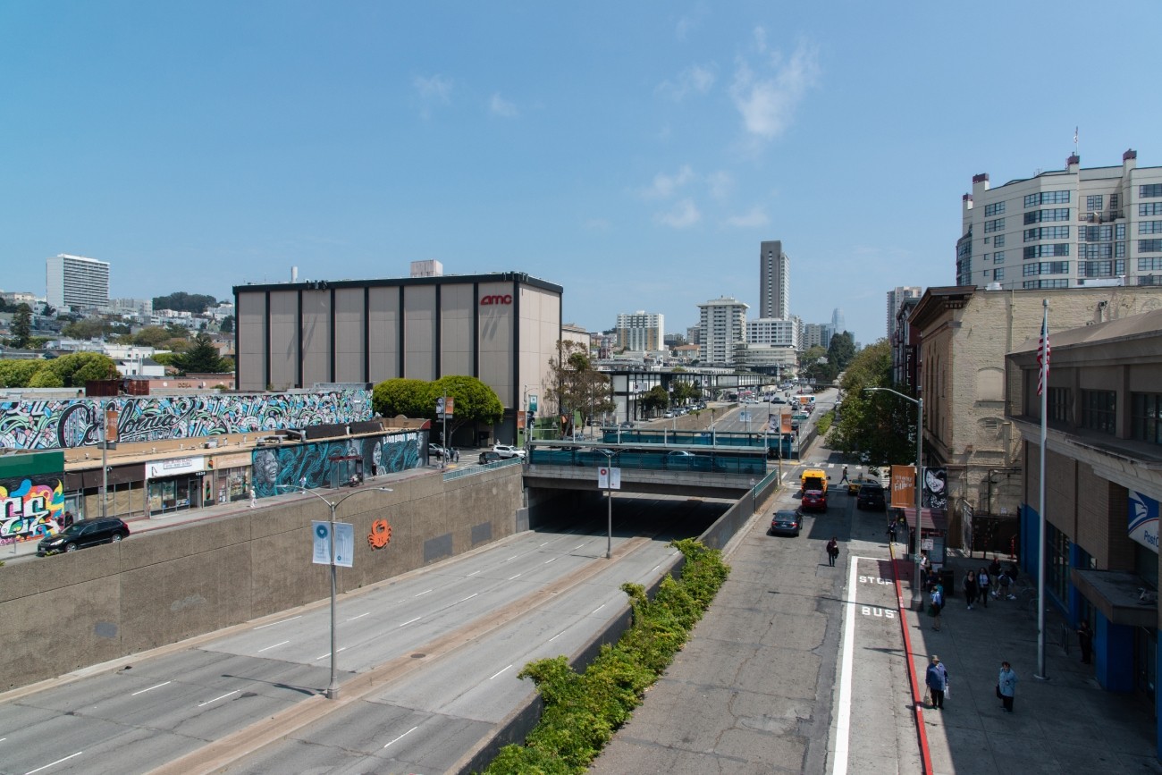
The project will develop transportation and land use concept designs that rethink the urban renewal-era Geary Expressway and advance a high-quality multimodal, mixed-use transit-oriented area to connect the Japantown and Fillmore/Western Addition neighborhoods and promote community livability.
Image

The study will develop a more complete understanding of how freight activity impacts the neighborhood and identify strategies to reduce conflicts between large trucks and other road users.
Image
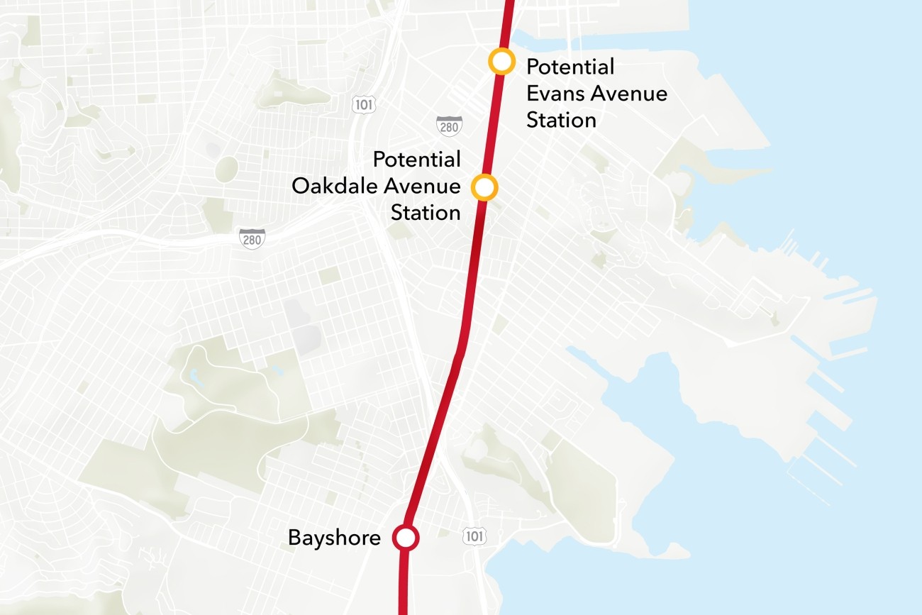
The Bayview Caltrain Station Location Study will recommend the selection of a single new Caltrain station location in the Bayview, prepare the station for environmental approval, and would restore access to Caltrain and the regional transit network to the Bayview community.
Image
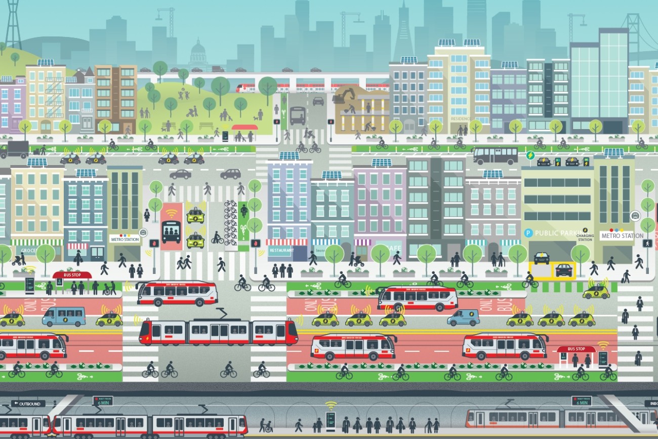
ConnectSF is a multi-agency collaborative process to build an effective, equitable, and sustainable transportation system for San Francisco’s future.
Image
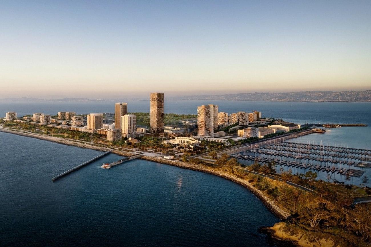
The Treasure Island Transportation Program will address the island's growing transportation needs with a goal to have at least 50 percent of trips made by transit instead of private vehicles.
Image
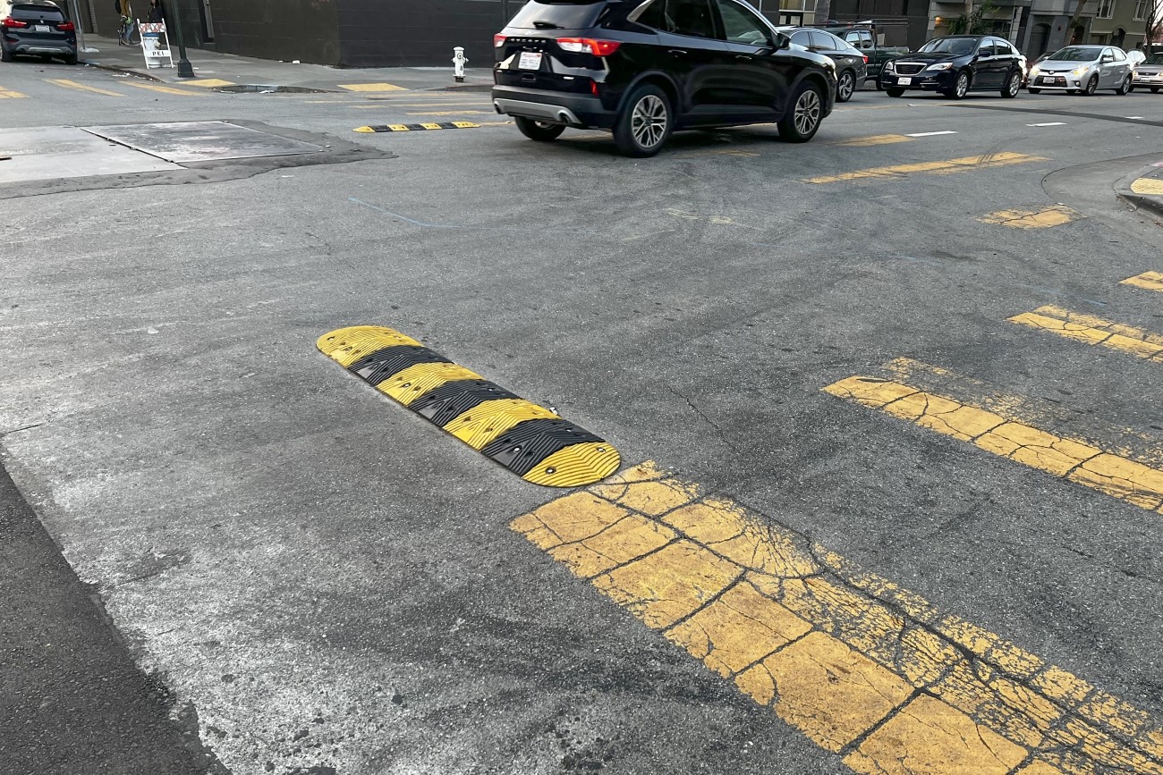
The District 6 Traffic Calming and Sideshow Deterrence project will design and install traffic calming devices and sideshow deterrence measures to improve safety at eleven locations in District 6 identified by the Commissioner's office and its constituents.
Image
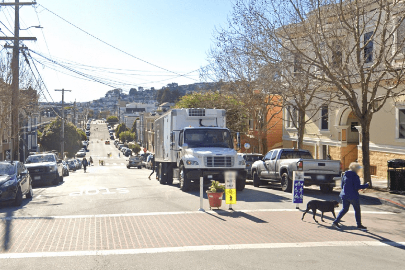
Sanchez Street is one of the city's most beloved Slow Streets, and was one of the first Slow Streets corridors to be converted to a post-pandemic Slow Street in 2021. This project was an opportunity for Sanchez Street to pilot innovative new treatments and to test out 'next generation' improvements on a Slow Street, including concrete traffic calming islands and permanent metal wayfinding signs.
Image
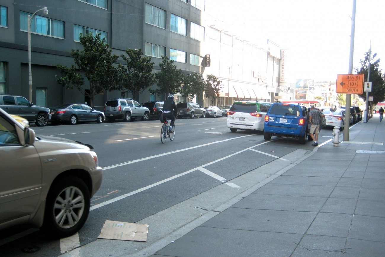
The SFMTA’s Folsom-Howard Streetscape Project is intended to make it safer and more pleasant to walk, bike, shop and live along Folsom and Howard streets.
Image
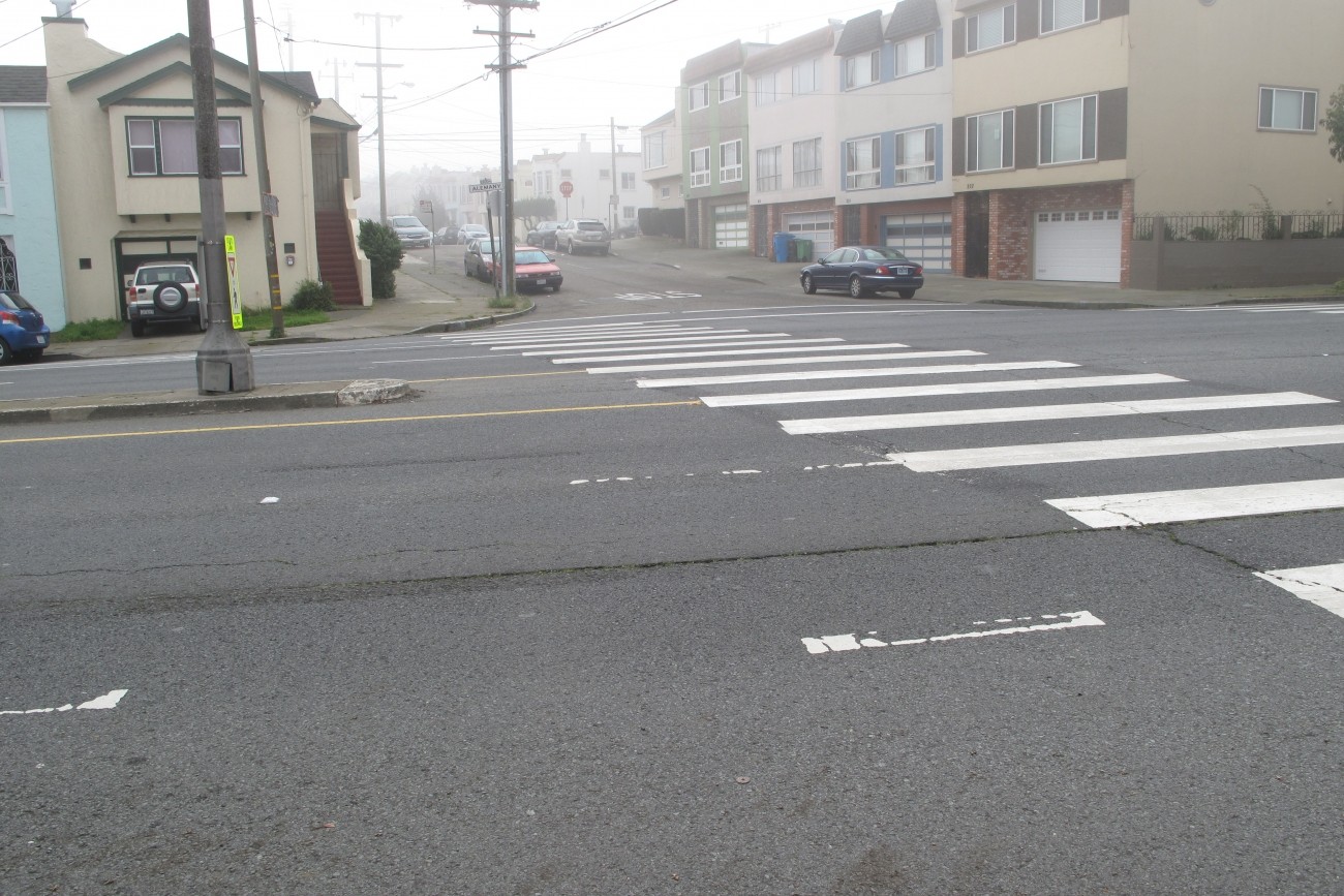
Segments of Alemany Boulevard between Sickles Avenue and Mission Street are part of the city’s High-Injury Network. The SFMTA explored ways to make Alemany Boulevard safer for all road users. This study built on prior work by the SFMTA and San Francisco Planning Department.
Image
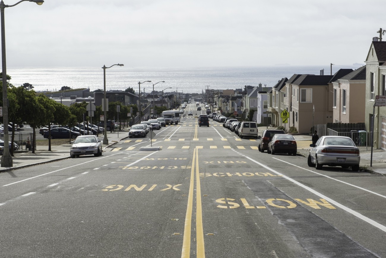
The District 4 Mobility Study, which the Transportation Authority completed in 2021, identified a community shuttle as a priority. The study found that there are about 17,000 drive-alone trips within the district on an average weekday. The study also found just 4% of trips within the district use transit.