This website uses cookies and similar technologies. By using our website, closing this banner or clicking "I agree", you consent to our use of cookies. For additional details, please read our privacy policy.

I AGREE

SFCTA

Main navigation

  • Projects & Studies
    • Featured
    • Active
    • Capital Projects
    • Neighborhood Transportation Planning
    • Long-Range Planning
    • Congestion Management
    • All
  • Funding
    • Half-cent Sales Tax for Transportation
    • Prop AA Vehicle Registration Fee
    • TNC Tax
    • Transportation Fund for Clean Air
    • One Bay Area Grant Program
    • State Transit Assistance County Block Grant
    • Funding Opportunities
  • Policies & Initiatives
    • Autonomous Vehicle (AV) Technology
    • Climate Action
    • Closing the Funding Gap
    • Complete Streets
    • Emerging Mobility
    • Equity Priority Communities
    • Neighborhood Program
    • Pricing & Incentives
    • Transit-First Policy
    • Transportation Demand Management
    • Vision Zero
  • Tools & Data
    • Maps & Data
    • Transportation Analysis Tools
  • What's Happening
    • Meetings, Agendas & Events
    • Blog
    • Press Releases
    • Stay Connected
  • About Us
    • Who We Are
    • Work with Us
    • Annual Reports
    • Governing Policies
    • Contact Us

Projects & Studies

We plan, fund, and deliver projects large and small across the city.

Select category

Active projects

Grid List
Image
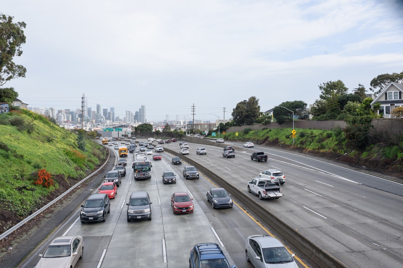
Vehicles on a freeway

Vision Zero Freeway Ramps Study

The Vision Zero Freeway Ramps Study will identify improvements for 11 freeway ramps across District 7, District 9, District 10, and District 11 to improve safety and connectivity.
Image
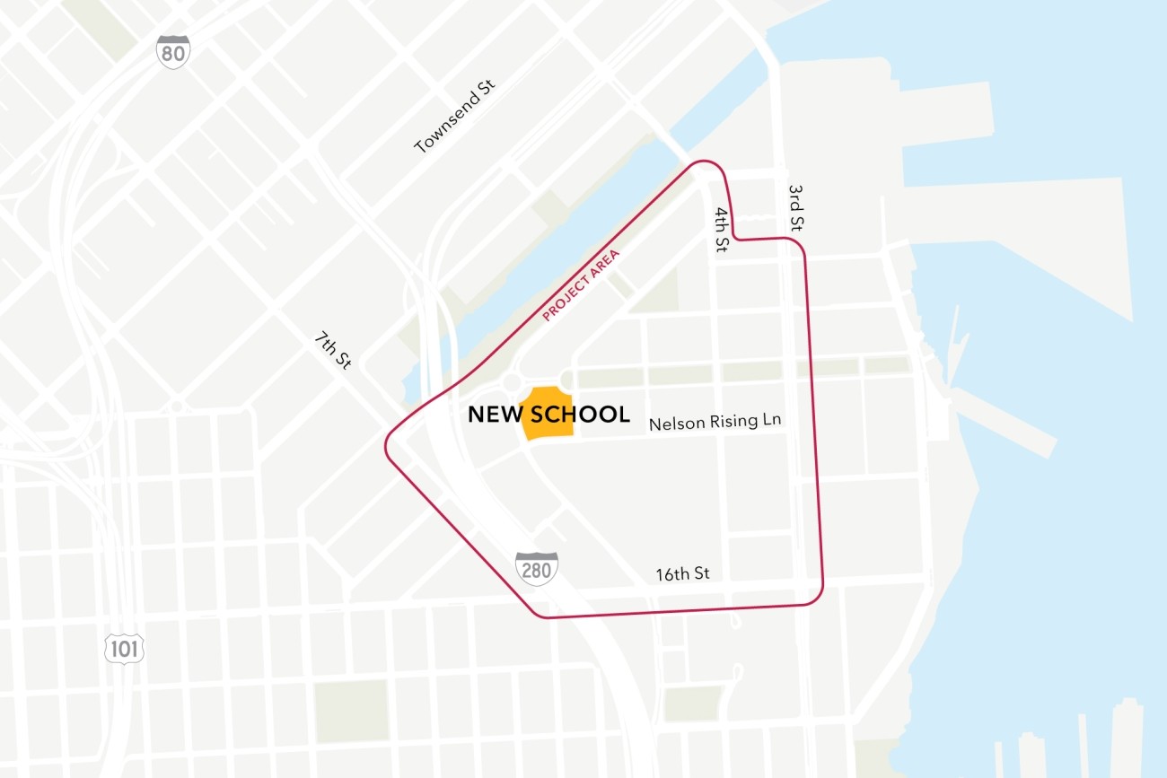
Map of the project study area, bounded by 7th St, 16th St, 3rd St, and Channel St

Mission Bay School Access Plan

This project will analyze connectivity between a new public school site in the Mission Bay neighborhood, the existing low-stress active transportation network, and existing and planned transit. The project will then design infrastructure improvements to mitigate key barriers to active transportation. The project will also coordinate expected transportation programs and improvements from projects in the area to ensure school access is supported.
Image
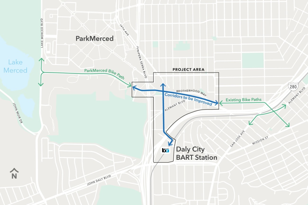
A map of the Project Area and its surroundings. To the west of the Project Area is a green line, running along brotherhood way from Lake Merced Boulevard to just east of Junipero Serra Boulevard, labeled "ParkMerced Bike Path." To the east of the Project Area are green lines labeled "Existing Bike Paths." Within the Project area are two blue lines, one connecting the green lines on either side, the other running from St. Charles Avenue to Daly City BART.

Brotherhood Way Safety and Circulation Plan

The Brotherhood Way Safety and Circulation Plan will develop near- and long-term concepts to improve safety, circulation, and connectivity through the Brotherhood Way and Alemany Boulevard corridors and on surrounding streets.
Image
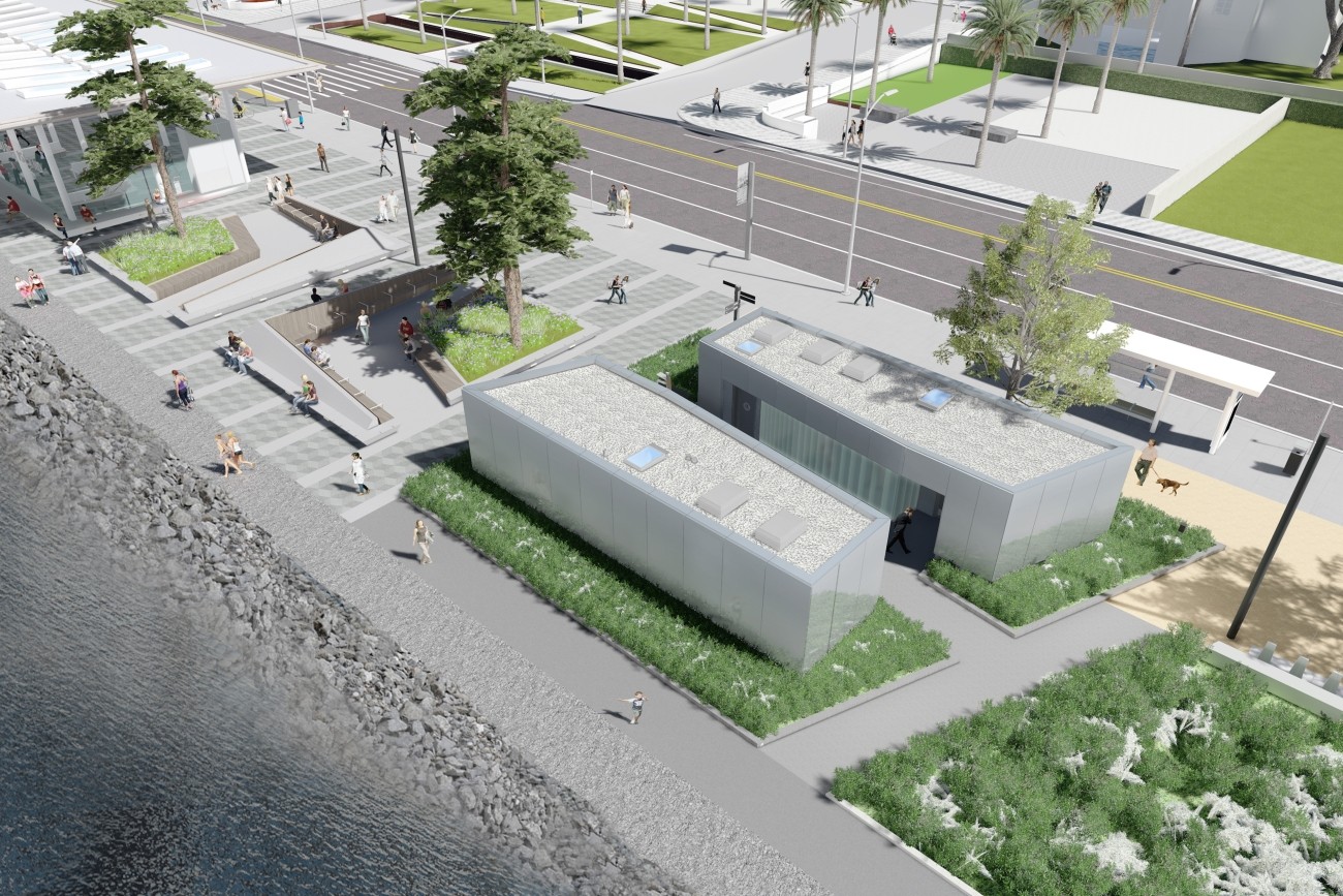
A rendering of the new restrooms to be built near the Treasure Island Ferry Terminal.

Treasure Island Ferry Terminal Enhancements Project

The Treasure Island Ferry Terminal Enhancements Project will construct new transit shelters and public restrooms.
Image
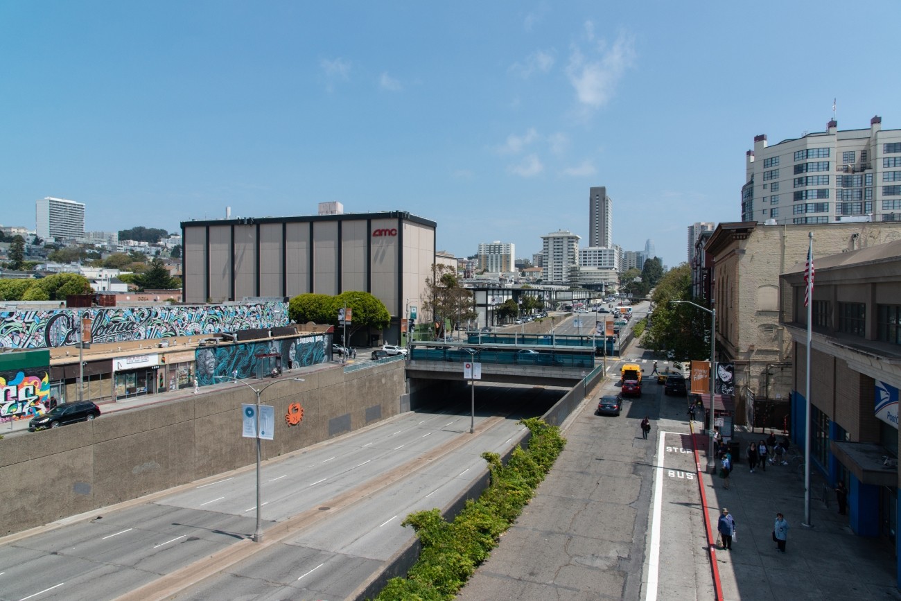
The Geary Boulevard underpass at Fillmore Street, seen looking east toward Downtown San Francisco.

Western Addition - Geary Boulevard Community Study

The project will develop transportation and land use concept designs that rethink the urban renewal-era Geary Expressway and advance a high-quality multimodal, mixed-use transit-oriented area to connect the Japantown and Fillmore/Western Addition neighborhoods and promote community livability.
Image
Two large trucks pass each other on Evans Avenue and Cesar Chavez St. A green-painted bike lane is in the foreground.

Bayview Street Safety and Truck Relief Study

The study will develop a more complete understanding of how freight activity impacts the neighborhood and identify strategies to reduce conflicts between large trucks and other road users.
Image
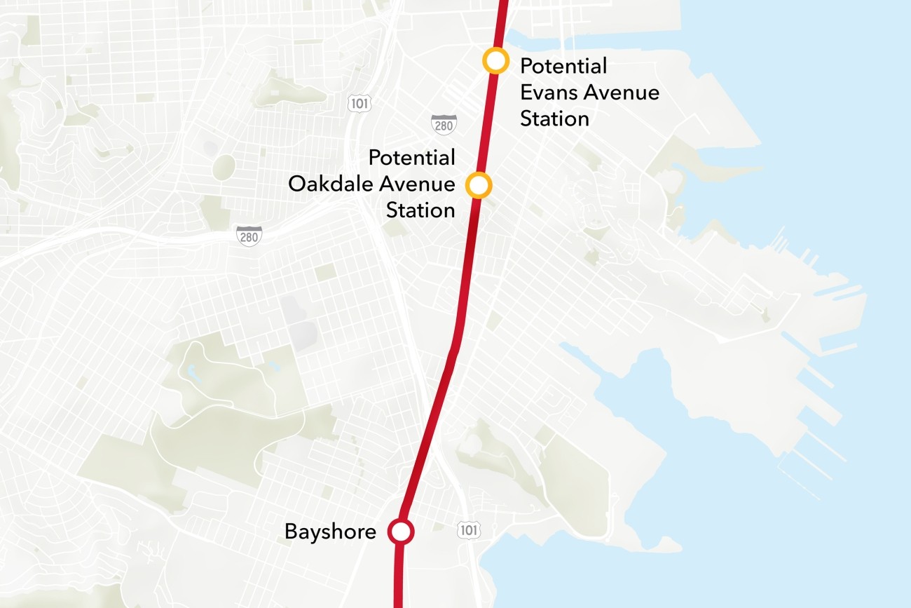
Map of Caltrain stations in the Bayview, showing the existing Bayshore station, as well as new potential stations at Evans Avenue and Oakdale Avenue.

Bayview Caltrain Station Location Study

The Bayview Caltrain Station Location Study will recommend the selection of a single new Caltrain station location in the Bayview, prepare the station for environmental approval, and would restore access to Caltrain and the regional transit network to the Bayview community.
Image
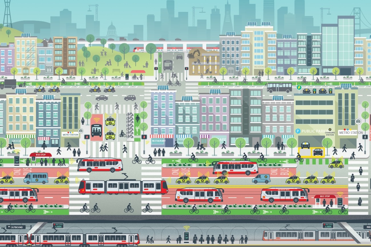
drawing of sf transportation future

ConnectSF

ConnectSF is a multi-agency collaborative process to build an effective, equitable, and sustainable transportation system for San Francisco’s future.
Image
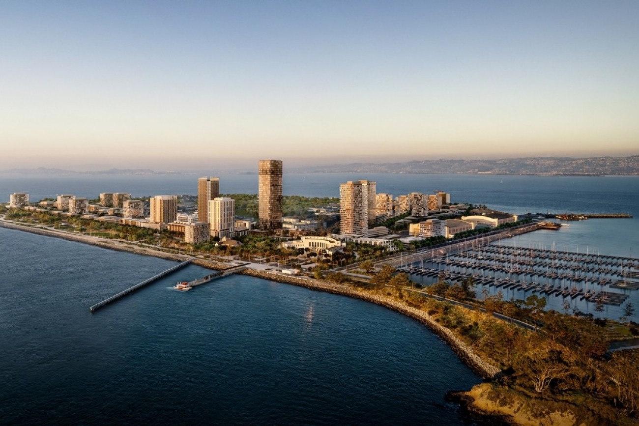
Rendered image of an island with buildings and a port in the nearby lagoon. There is a ferry pulling up to a dock in the foreground.

Treasure Island Transportation Program

The Treasure Island Transportation Program will address the island's growing transportation needs with a goal to have at least 50 percent of trips made by transit instead of private vehicles.
Image
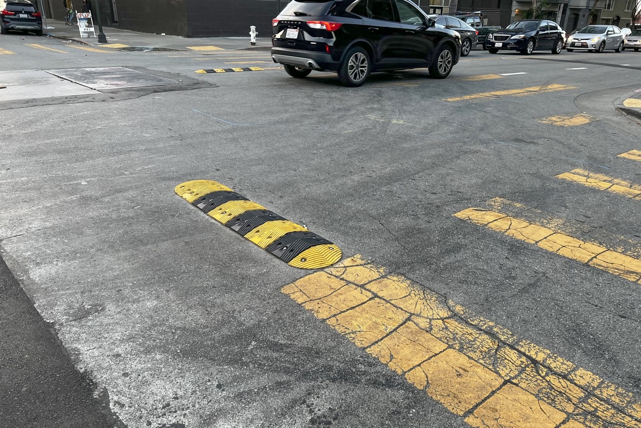
Eye-level view of an intersection, the pavement streaked with sideshow tire markings. Black and yellow striped sideshow deterrence humps, about 4 feet long, 1 foot wide, and a few inches high, protrude into the intersection from the corners and between the two lanes of each street.

District 6 Traffic Calming and Sideshow Deterrence

The District 6 Traffic Calming and Sideshow Deterrence project will design and install traffic calming devices and sideshow deterrence measures to improve safety at eleven locations in District 6 identified by the Commissioner's office and its constituents.
Image
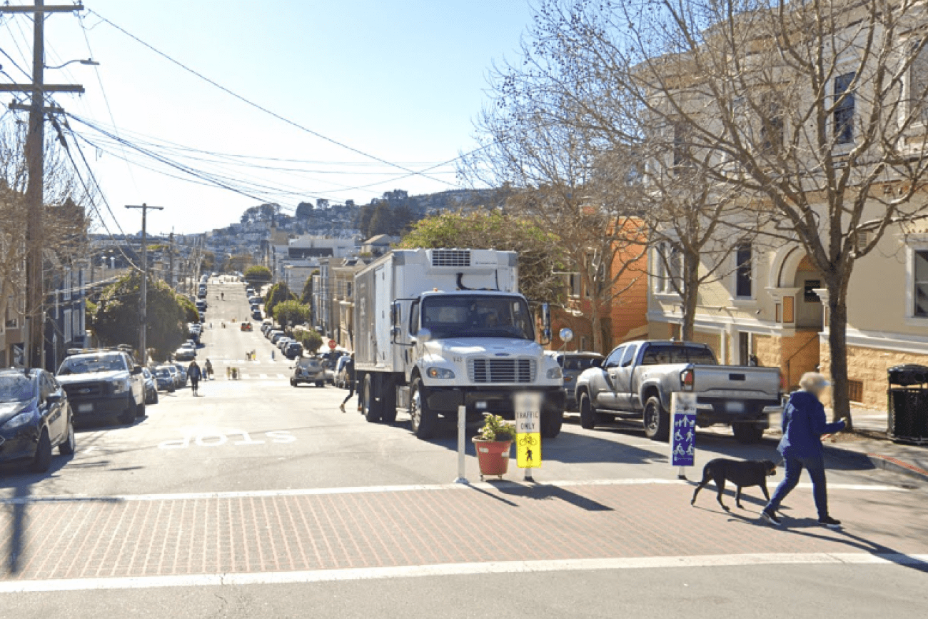
Street-level view of Sanchez Slow Street on a sunny day. A person walks a dog across the intersection.

Next Generation Sanchez Slow Street

Sanchez Street is one of the city's most beloved Slow Streets, and was one of the first Slow Streets corridors to be converted to a post-pandemic Slow Street in 2021. This project was an opportunity for Sanchez Street to pilot innovative new treatments and to test out 'next generation' improvements on a Slow Street, including concrete traffic calming islands and permanent metal wayfinding signs.
Image
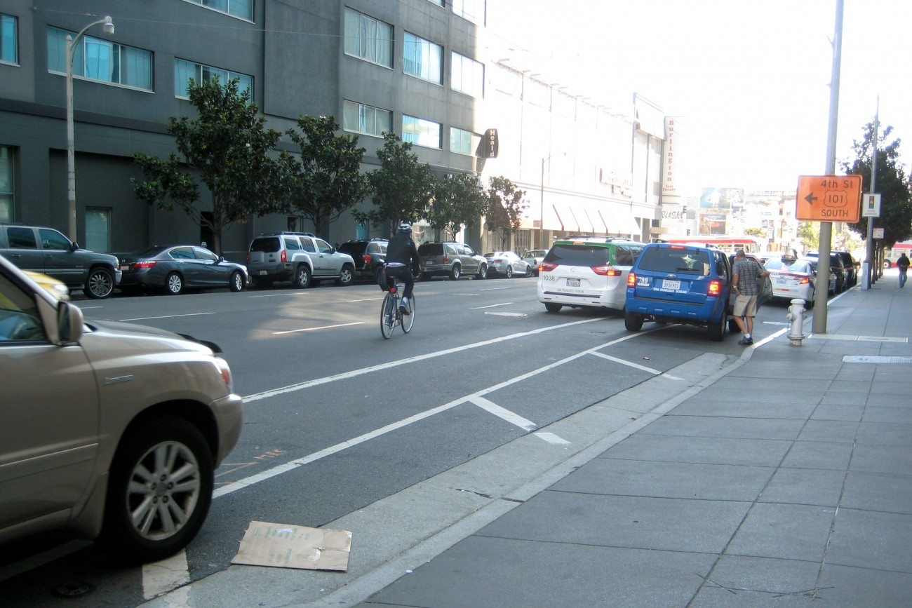
Howard Street between 5th and 6th streets

Folsom-Howard Streetscape Project

The SFMTA’s Folsom-Howard Streetscape Project is intended to make it safer and more pleasant to walk, bike, shop and live along Folsom and Howard streets.
Image
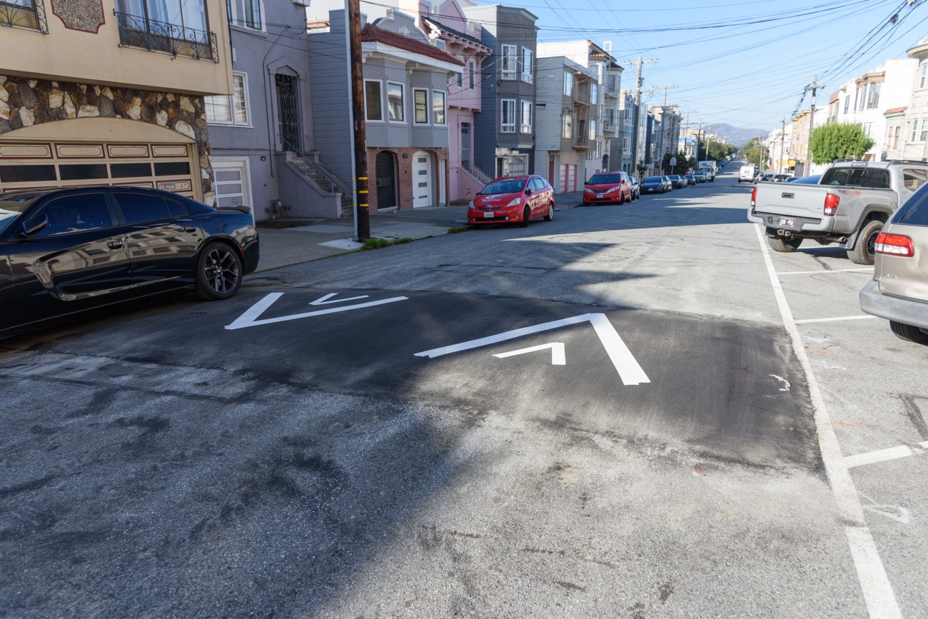
Speed hump with arrows and cars parked against the curb.

District 5 Traffic Calming And Pedestrian Improvements

This project is implementing traffic calming and pedestrian safety treatments throughout District 5.
Image
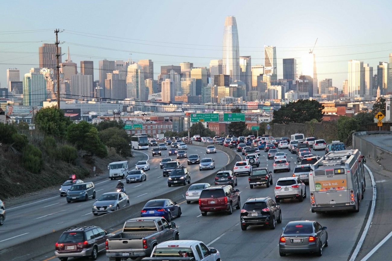
Cars headed toward San Francisco on the freeway

San Francisco Freeway Network Management Study

The study will consider managed lane alternatives, including priced lane and priced facility options, for freeways within San Francisco (Central Freeway, I-80, U.S. 101, I-280) with the goals of reducing vehicle miles traveled, increasing person throughput, and improving transit reliability.
Image
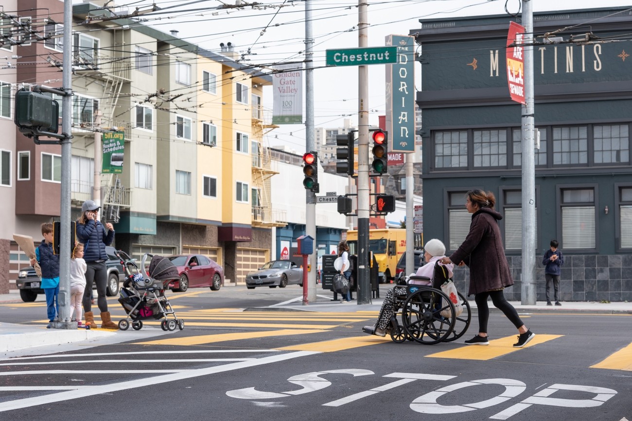
A parent with two kids and a stroller wait at the corner of Chestnut and Fillmore, while a young woman pushes an elderly woman in a wheelchair in the crosswalk.

District 2 Safety Study

The District 2 Safety Study will address safety challenges and barriers to access on routes to land uses that attract children, seniors, and other vulnerable road users including parks, schools, hospitals, and recreational areas.

Pagination

  • Current page 1
  • Page 2
  • Page 3
  • Page 4
  • Next page Next page
[site.name]

Social media links

  • Follow us on Facebook Follow us on Facebook
  • Follow us on Instagram Follow us on Instagram
  • Follow us on LinkedIn Follow us on LinkedIn
  • Follow us on X Follow us on X
  • Follow us on YouTube Follow us on YouTube

Stay Connected

Sign up for our monthly email newsletter The Messenger, and get project-specific updates.

Sign Up

Contact

info@sfcta.org
415-522-4800

1455 Market Street, 22nd Floor
San Francisco, CA 94103
United States

View our privacy policy, sweepstakes rules, and terms and conditions.

carrot-left carrot-down arrow-right close menu download carrot-right search logo facebook twitter X linkedin youtube instagram carrot-left pdf video zip