Image
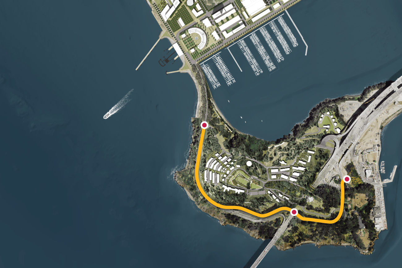
This project will provide protected bicycle and pedestrian pathways that run along Hillcrest Road and Treasure Island Road.
Image
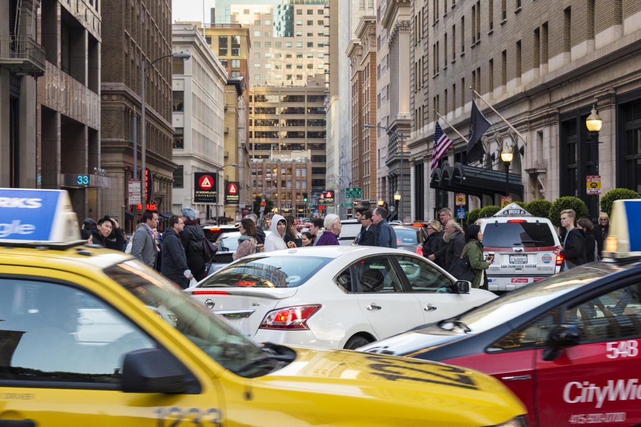
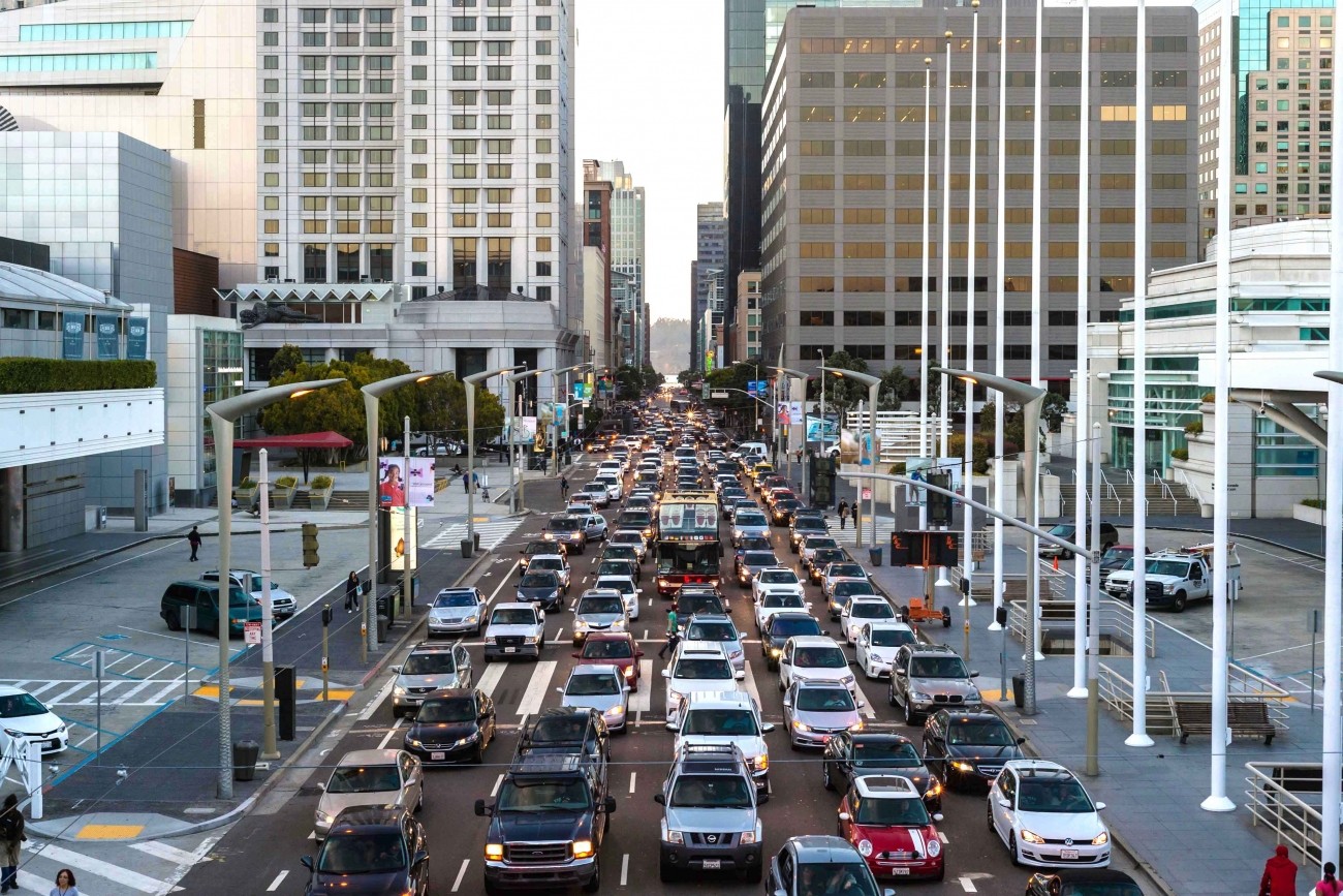
Congestion pricing would involve charging drivers a fee to drive in specific congested areas of downtown to keep traffic and transit moving.
Image
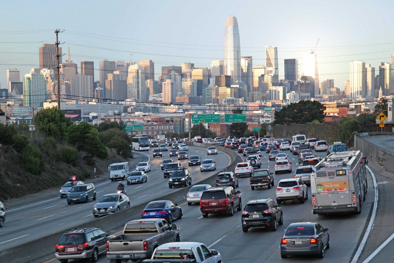
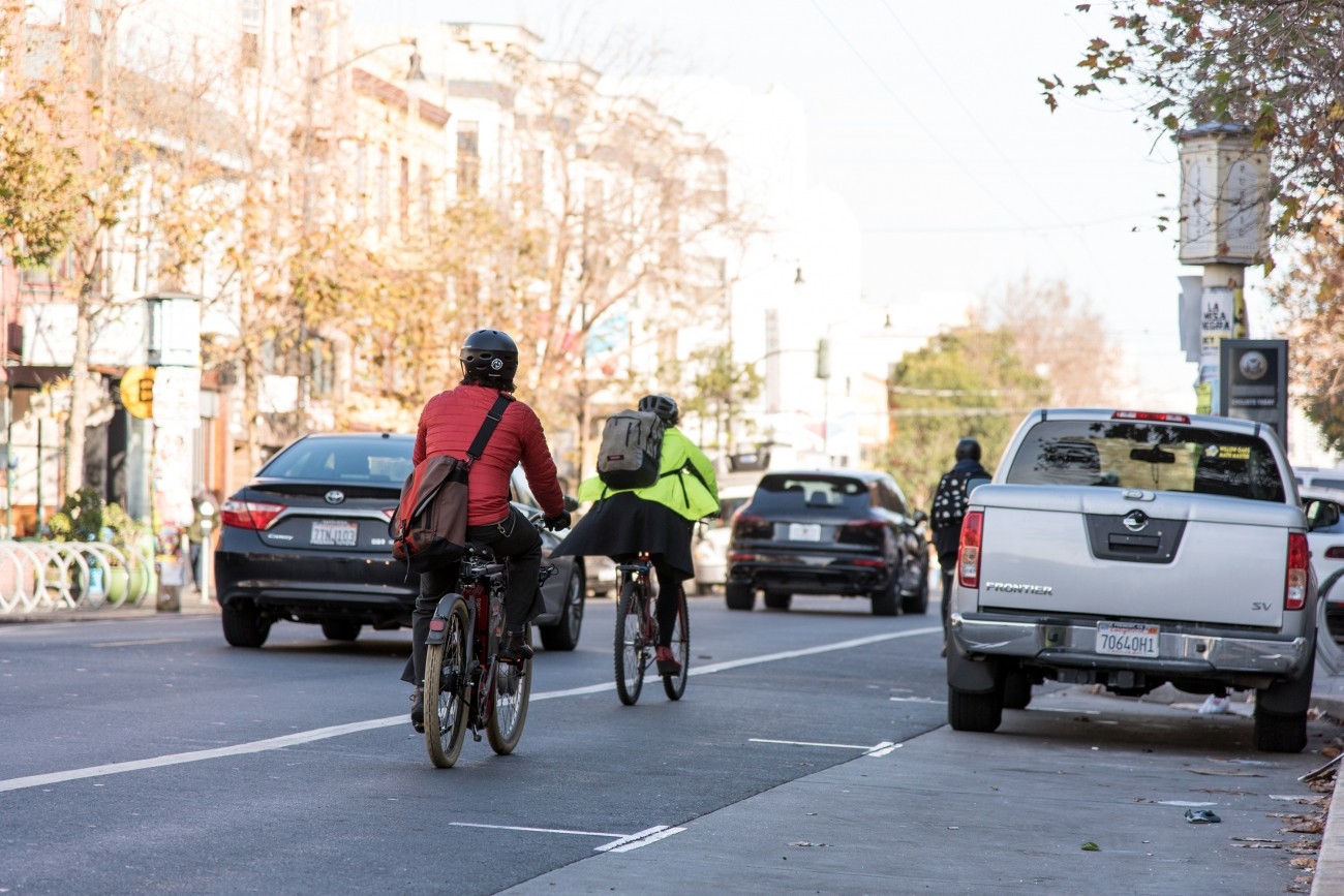
Express and carpool lanes on the 101 and I-280 freeways could help move more people in fewer vehicles.
Image
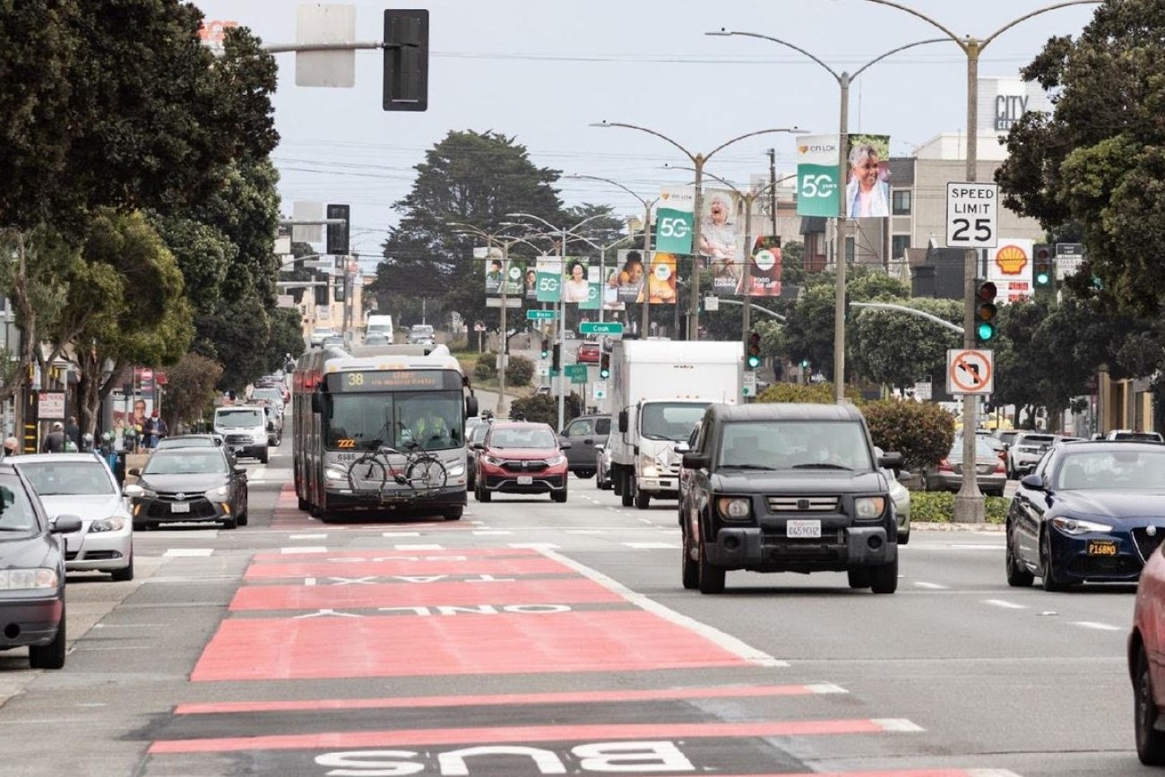
Geary Bus Rapid Transit will improve Geary Boulevard with much-needed safety improvements and faster, more reliable bus service for the tens of thousands of people who use the 38 Geary and 38R Geary Rapid bus routes every day. Project improvements include red bus-only lanes, signal priority for buses, and safety improvements such as sidewalk extensions and accessible curb ramps.
Image
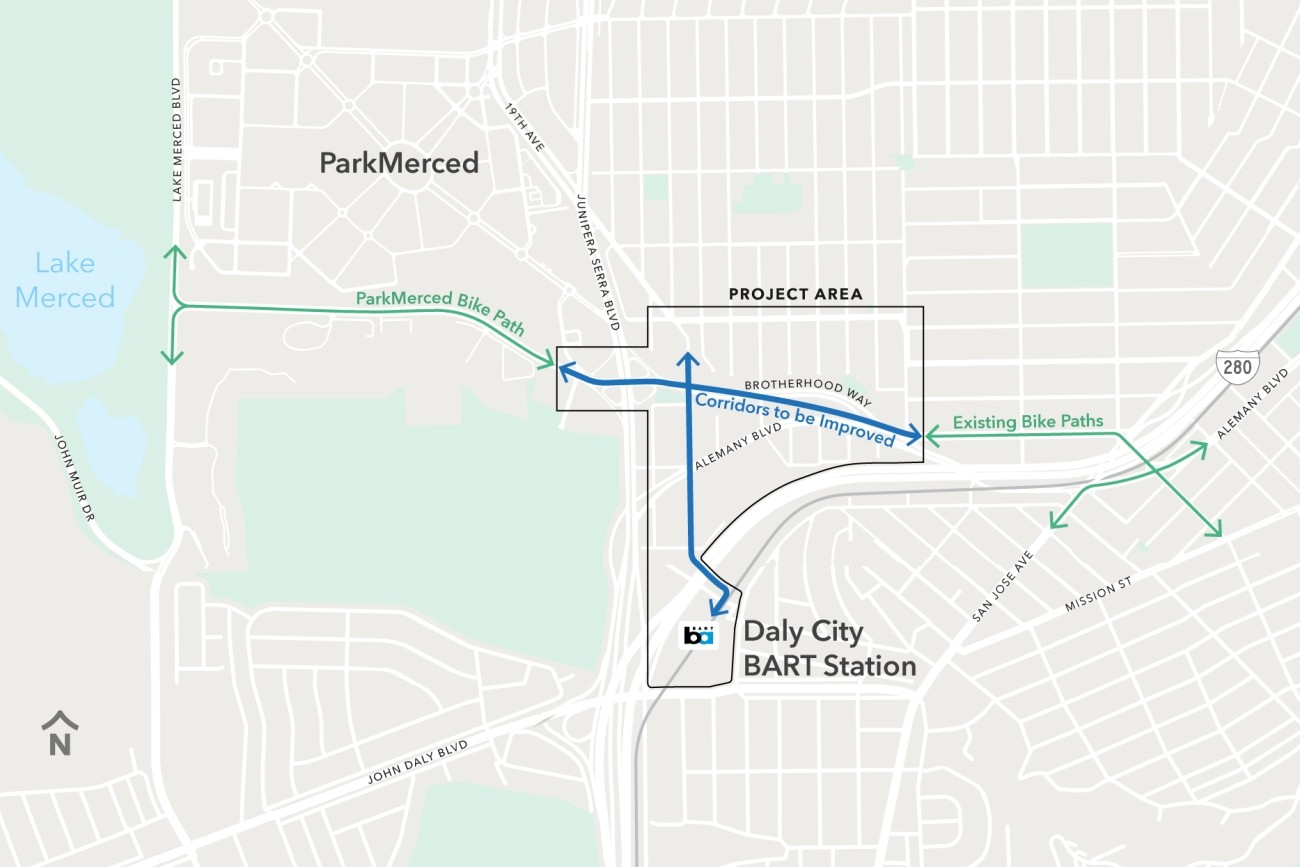
The Brotherhood Way Safety and Circulation Plan will develop near- and long-term concepts to improve safety, circulation, and connectivity through the Brotherhood Way and Alemany Boulevard corridors and on surrounding streets.
Image
As San Francisco's Congestion Management Agency, we monitor activity on our city's transportation network and adopt plans for mitigating traffic congestion.
Image
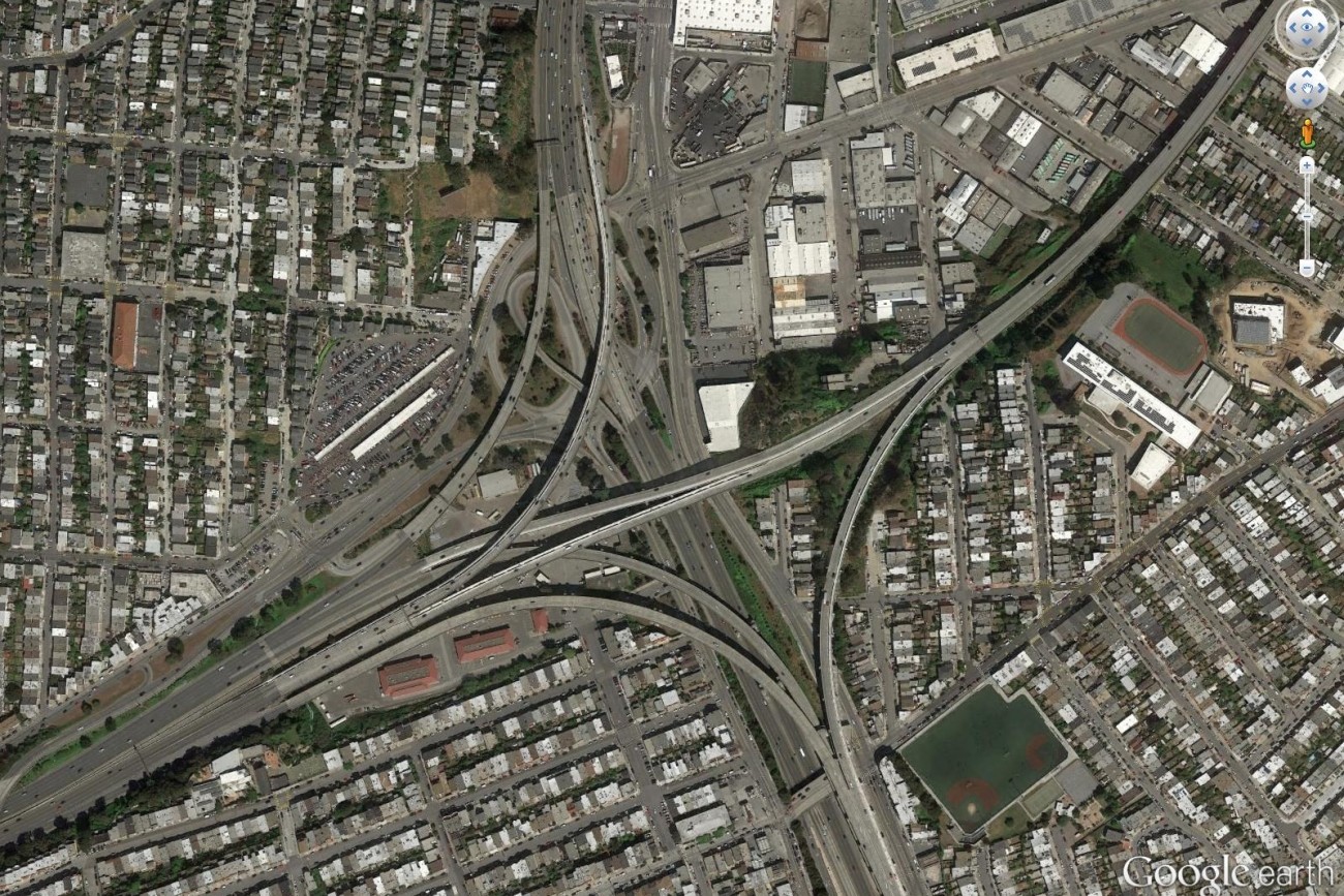
Finalized in April 2017, the Alemany Interchange Improvement Study outlined a list of safety and accessibility recommendations for the Alemany interchange.
Image
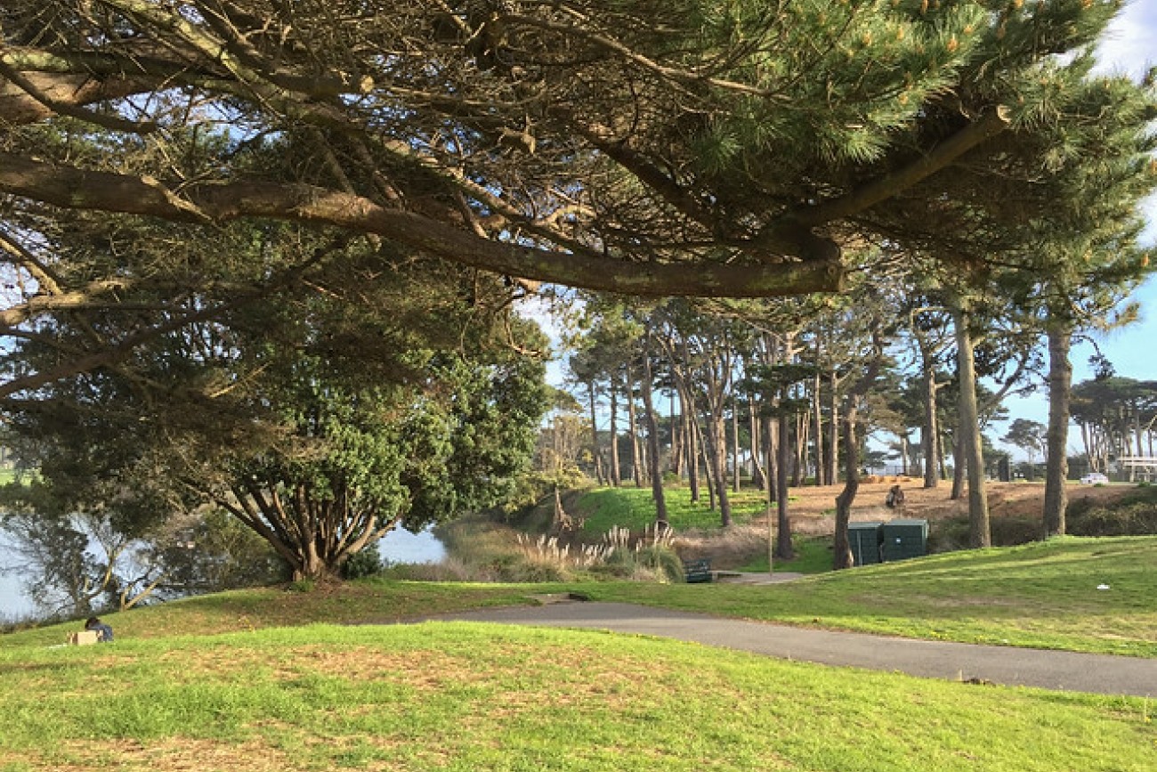
The SFMTA will study how to improve bike safety and access to and within Lake Merced Park.
Image
Plan Bay Area is a 25-year plan that establishes the nine-county Bay Area region’s vision for land use and transportation.
Image
This plan focused on strategies to improve pedestrian safety on two high pedestrian-injury corridors in Chinatown: Broadway Street between Van Ness and Columbus Avenues, and Kearny Street between Bush and Jackson Streets.
Image
This study focused on improving residents’ access to groceries, health appointments, after-school programs, and other important services.
Image
The SFMTA is working with the community to assess and recommend safety improvements for Valencia Street between Market and Mission streets.
Image
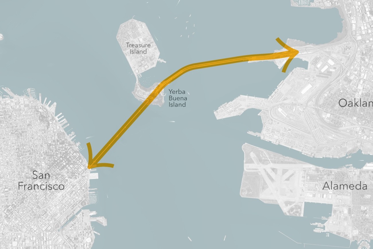
The Transbay Comprehensive Multimodal Corridor Plan Supplement presents a holistic approach for managing congestion, improving safety, and maximizing traffoc flow for all travel modes and incorporates measures to reduce air pollution and greenhouse gases.
Image
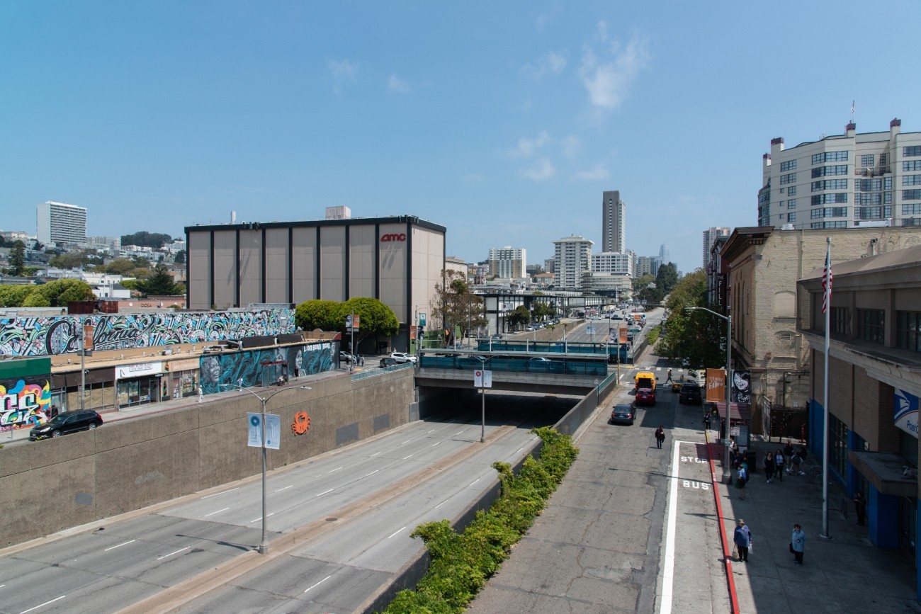
The project will develop transportation and land use concept designs that rethink the urban renewal-era Geary Expressway and advance a high-quality multimodal, mixed-use transit-oriented area to connect the Japantown and Fillmore/Western Addition neighborhoods and promote community livability.
Image
The District 2 Safety Study will address safety challenges and barriers to access on routes to land uses that attract children, seniors, and other vulnerable road users including parks, schools, hospitals, and recreational areas. The study will create a toolkit of safety improvements and guidance for implementation. The funding for this study includes implementation of study recommendations as a combination of quick-build or permanent construction.