Image
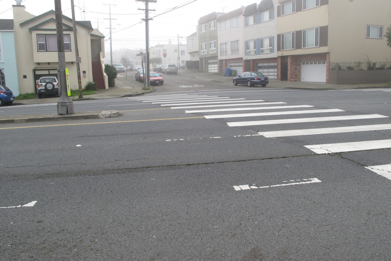
Segments of Alemany Boulevard between Sickles Avenue and Mission Street are part of the city’s High-Injury Network. The SFMTA is exploring ways to make Alemany Boulevard safer for all road users. This study builds on prior work by the SFMTA and San Francisco Planning Department.
Image
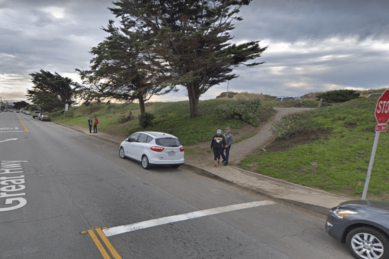
This project aims to increase pedestrian safety and comfort along Lower Great Highway by implementing pedestrian improvements and traffic calming measures.
Image
This study identifies a set of non-infrastructure strategies to reduce vehicle miles of travel in the district through partnerships between community organizations, developers, and emerging mobility service providers.
Image
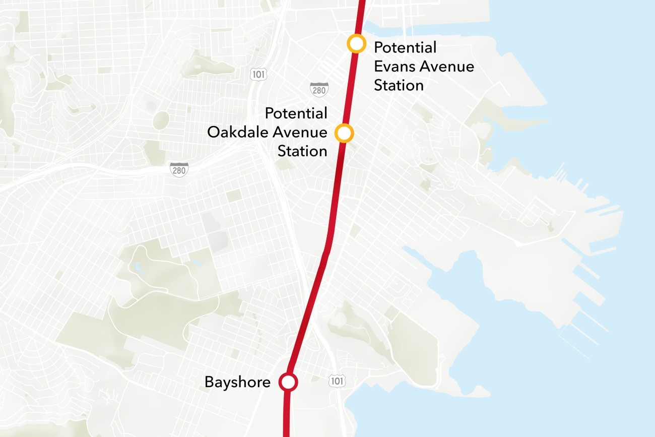
The Bayview Caltrain Station Location Study will recommend the selection of a single new Caltrain station location in the Bayview, prepare the station for environmental approval, and would restore access to Caltrain and the regional transit network to the Bayview community.
Image
The Transportation Authority is developing a business plan that will define an on-demand community shuttle service within District 4.
Image
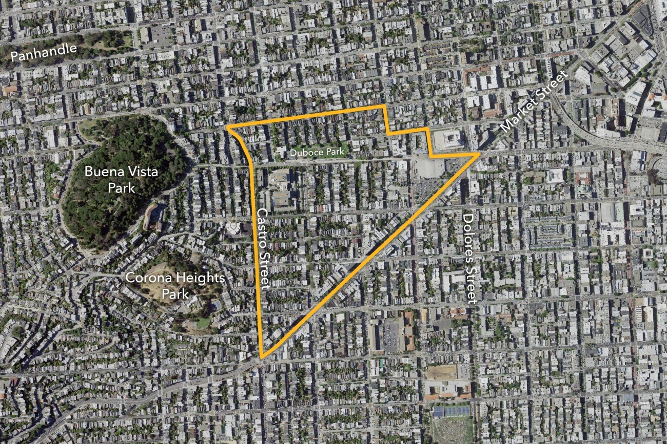
The Slow Duboce Triangle Study, also called Vision Slow Triangle or Duboce Triangle Vision 2030, was led by the Duboce Triangle Neighborhood Association and engaged the community in workshops to understand the visions for the future of the Duboce Triangle neighborhood.
Image
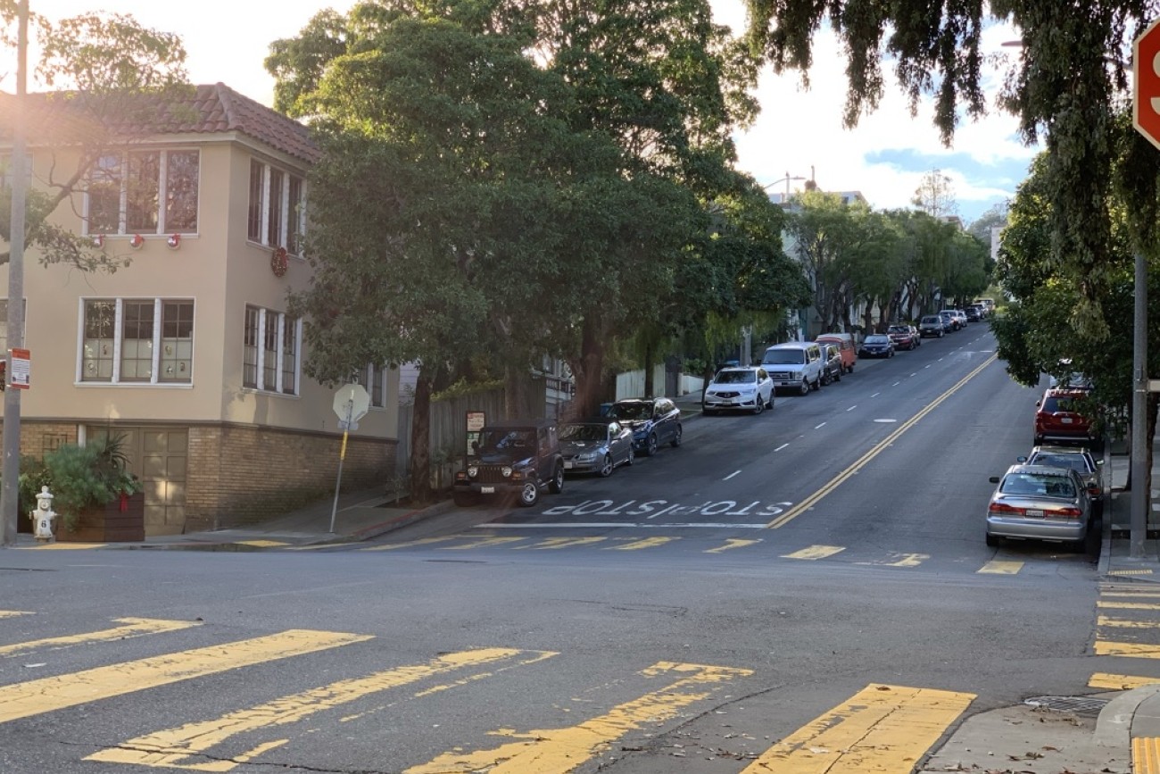
This project will design and construct traffic calming measures along the Folsom Street and Crescent Avenue corridors in District 9.
Image
This project will implement a "road diet" on 14th Street between Castro Street and Sanchez Street to improve pedestrian safety and visibility.
Image
The study goal is to understand resident and worker transportation needs, outline recommended short-term public transit improvements, and plan for supplemental transportation options.
Image
This study analyzes how people travel to the eastern portion of Golden Gate Park and what barriers exist to getting there, particularly for people living in Equity Priority Communities furthest from the park.
Image
Vision Zero Proactive Traffic Calming is a program of the San Francisco Municipal Transportation Agency to improve safety on streets where pedestrian injuries to seniors and people with disabilities are concentrated and priority areas where seniors and people with disabilities live and travel.
Image
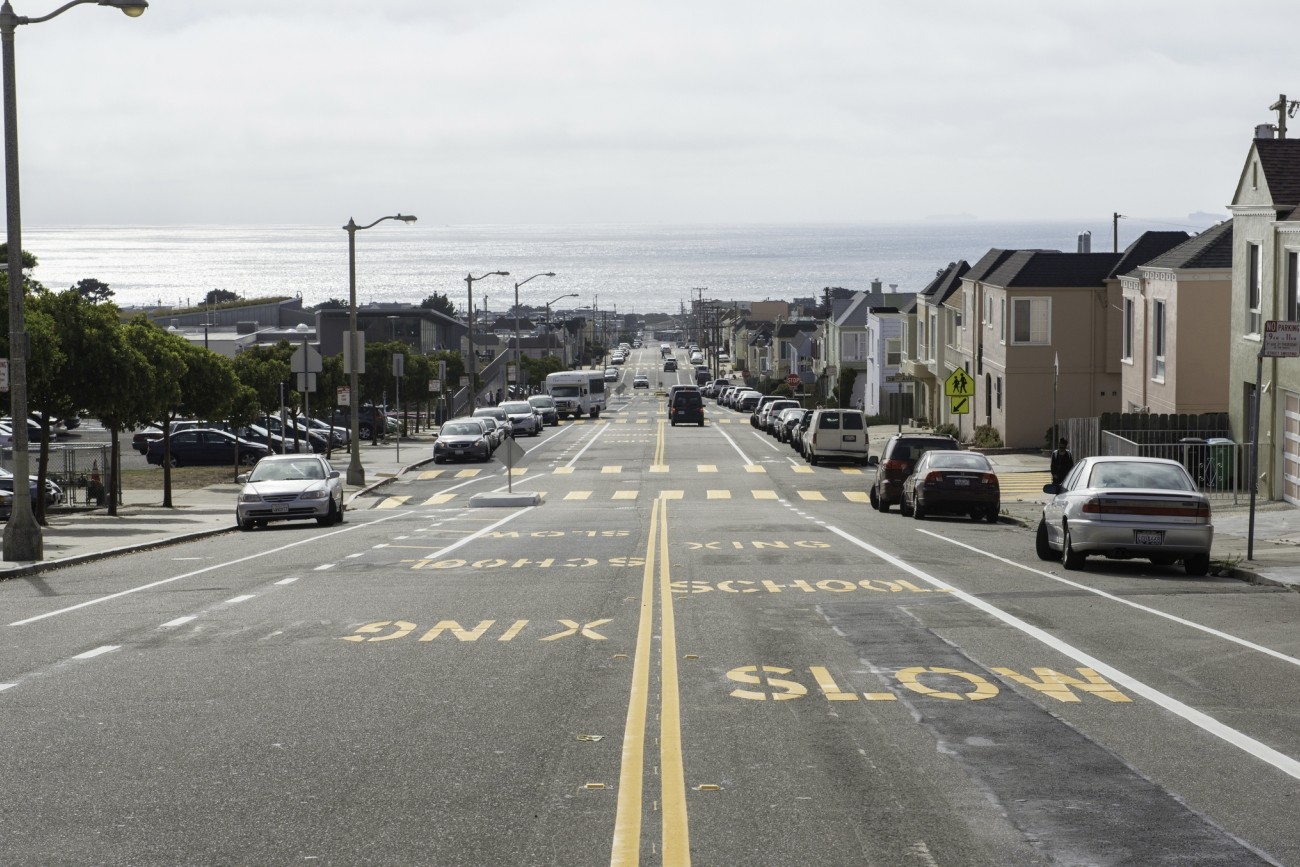
This project will design and install rectangular rapid flashing beacons, pedestrian push buttons, and improved signage to improve pedestrian safety at the intersection of 38th Avenue and Geary Boulevard.
Image
The Ortega Street Improvements project will design and implement traffic calming measures on Ortega Street between 19th Avenue and 47th Avenue to create a safer, more comfortable pedestrian and bicycle route. The traffic calming measures will improve traffic safety, improve comfort and calmness, and make the local street more inviting for neighborhood scale travel by walking and bicycling. San Francisco Municipal Transportation Agency staff will develop detailed designs by drawing on work, findings, and recommendations in the San Francisco Transportation Authority’s District 4 Mobility Study.
Image
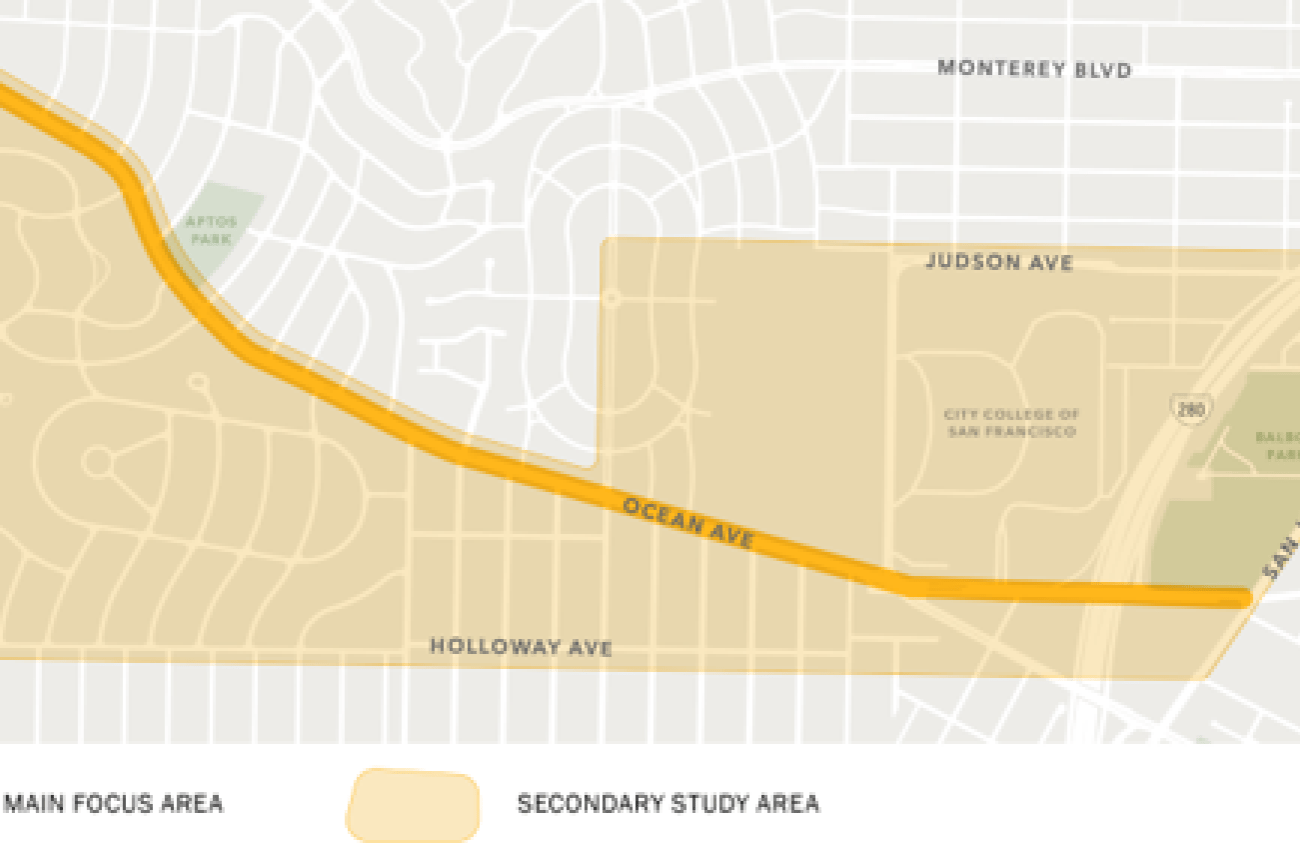
The Ocean Ave Safety & Bike Access project will implement near- and mid-term pedestrian safety, bicycle access, and other upgrades along and adjacent to the Ocean Avenue business district, which were identified in the Ocean Ave Mobility Action Plan.
Image
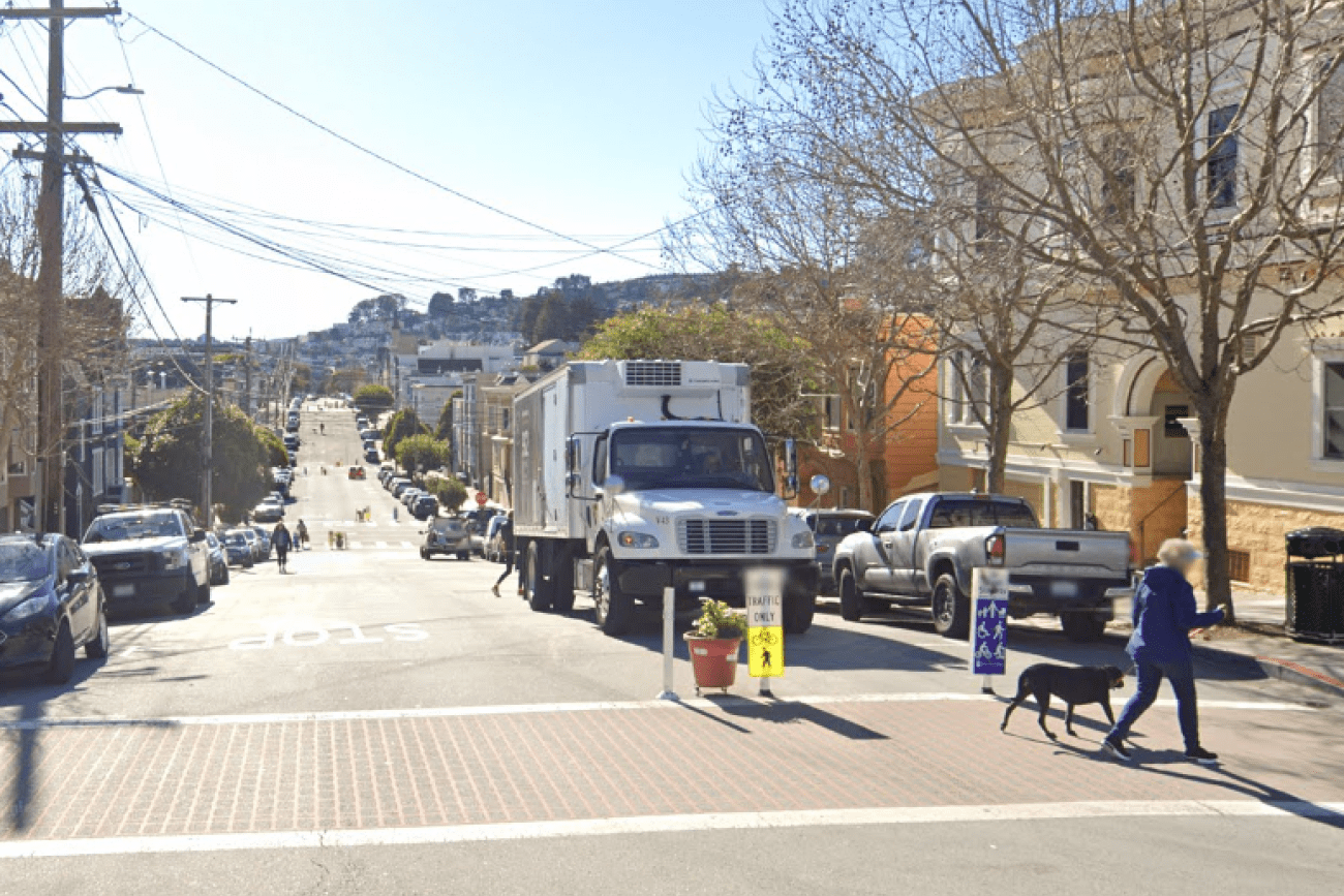
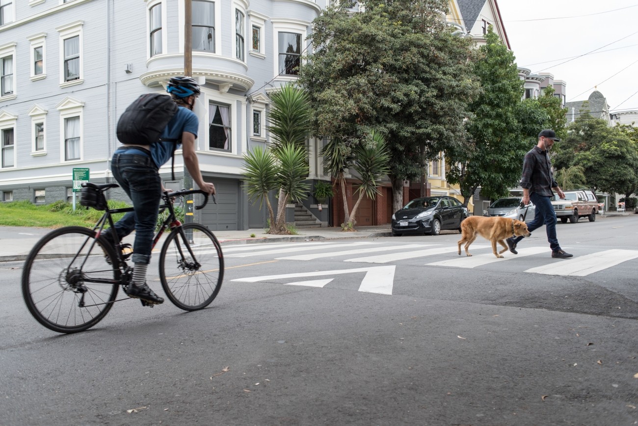
Sanchez Street is one of the city's most beloved Slow Streets, and was one of the first Slow Streets corridors to be converted to a post-pandemic Slow Street in 2021. A full citywide Slow Streets program was approved by the San Francisco Municipal Transportation Agency Board in December 2022. This project is an opportunity for Sanchez Street to pilot innovative new treatments and to test out 'next generation' improvements on a Slow Street, including concrete traffic calming islands and permanent metal wayfinding signs. The project will design and install ‘next generation’ Slow Street improvements along Sanchez Street from 23rd Street to 30th Street.