Image
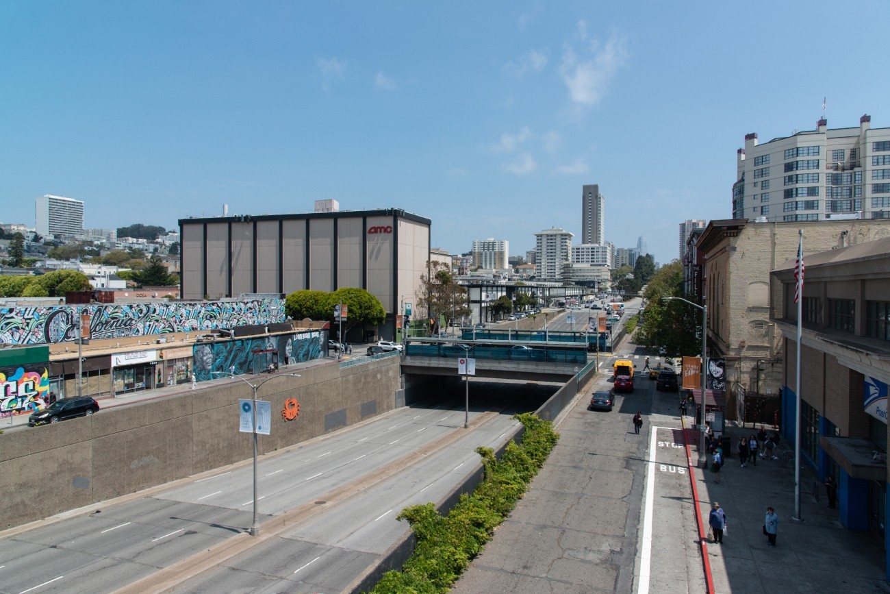
The project will develop transportation and land use concept designs that rethink the urban renewal-era Geary Expressway and advance a high-quality multimodal, mixed-use transit-oriented area to connect the Japantown and Fillmore/Western Addition neighborhoods and promote community livability.
Image
The study will focus on the first phase of planning and development.
Image
Updated every four years, the San Francisco Transportation Plan is the blueprint for the city's transportation system development and investment over the next 30 years.
Image
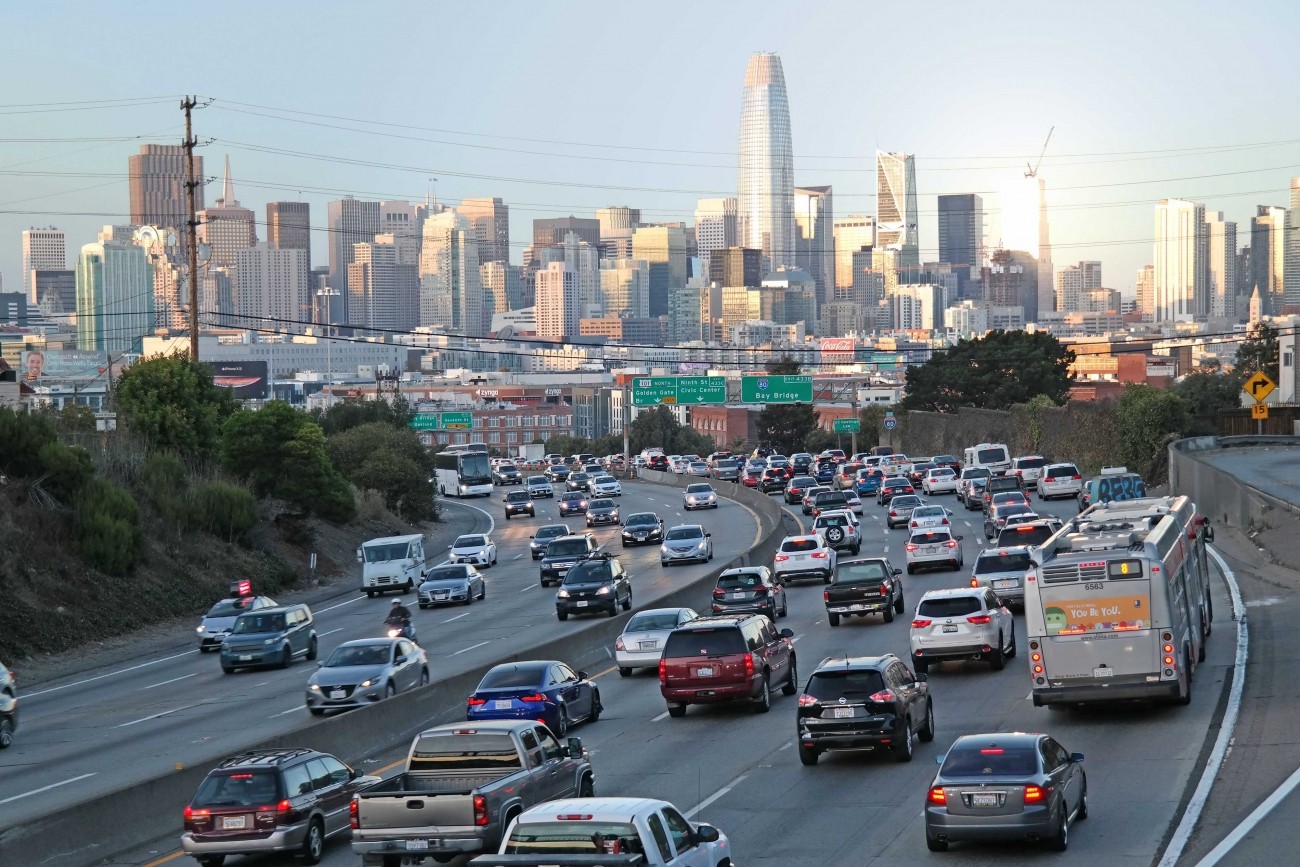
The study will consider managed lane alternatives, including priced lane and priced facility options, for freeways within San Francisco (Central Freeway, I-80, U.S. 101, I-280) with the goals of reducing vehicle miles traveled, increasing person throughput, and improving transit reliability.
Image
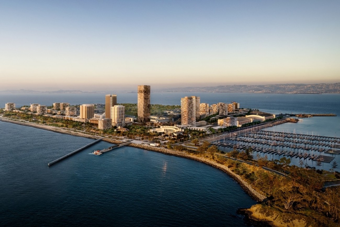
The Treasure Island Transportation Program will address the island's growing transportation needs with a goal to have at least 50 percent of trips made by transit instead of private vehicles.
Image
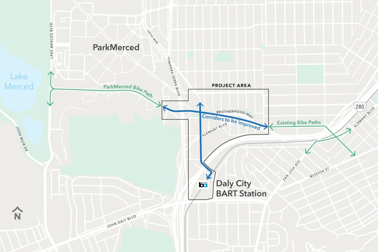
The Brotherhood Way Safety and Circulation Plan will develop near- and long-term concepts to improve safety, circulation, and connectivity through the Brotherhood Way and Alemany Boulevard corridors and on surrounding streets.
Image
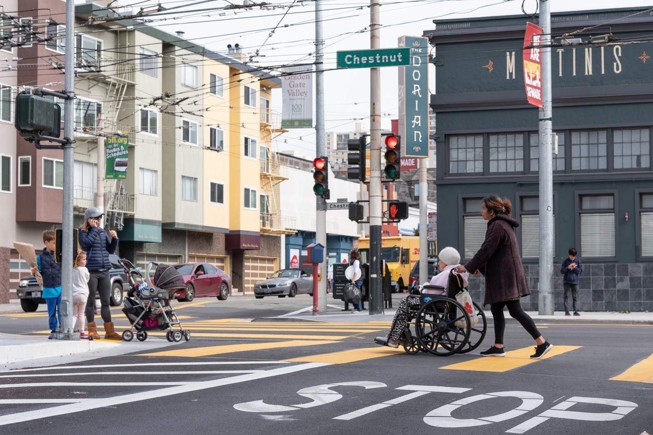
The District 2 Safety Study will address safety challenges and barriers to access on routes to land uses that attract children, seniors, and other vulnerable road users including parks, schools, hospitals, and recreational areas.
Image
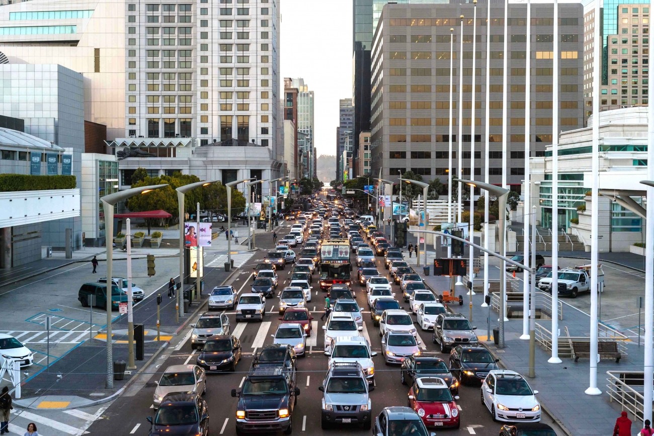
As San Francisco's Congestion Management Agency, we monitor activity on our city's transportation network and adopt plans for mitigating traffic congestion.
Image
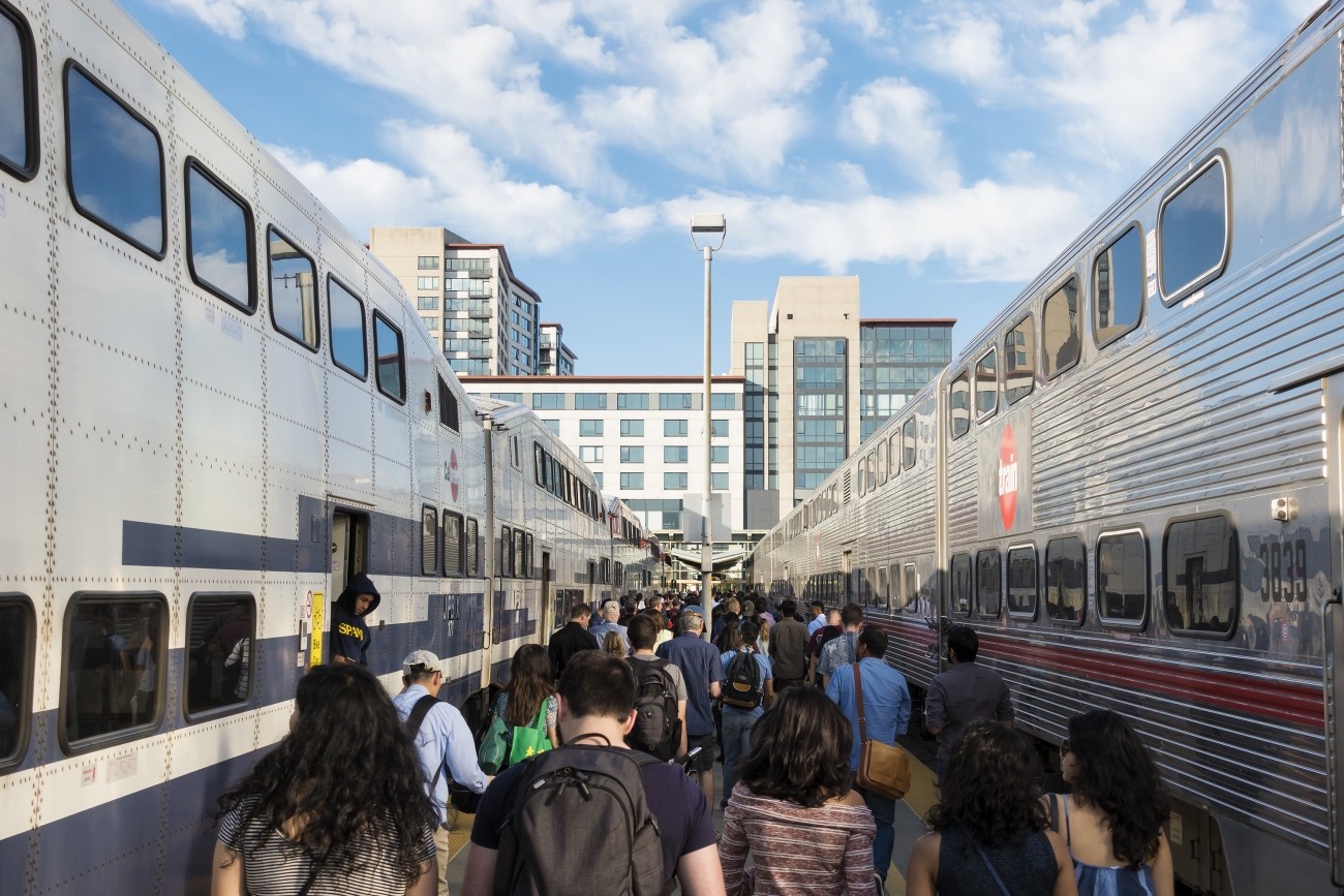
The Downtown Extension is a plan to extend Caltrain and future California High-Speed Rail service from 4th and King rail yard to the newly-constructed Salesforce Transit Center.
Image
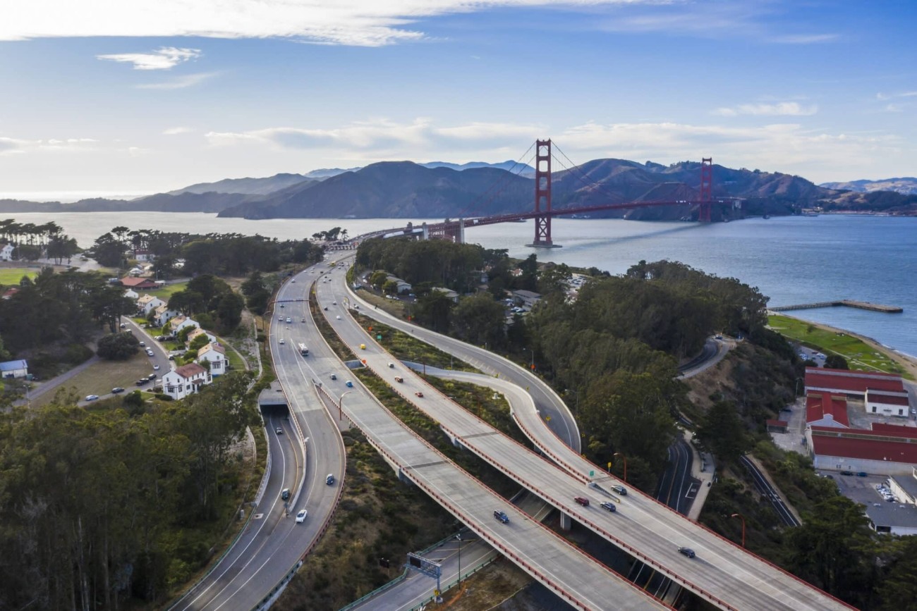
The Presidio Parkway serves as a regional gateway between the Golden Gate Bridge and the city of San Francisco.
Image
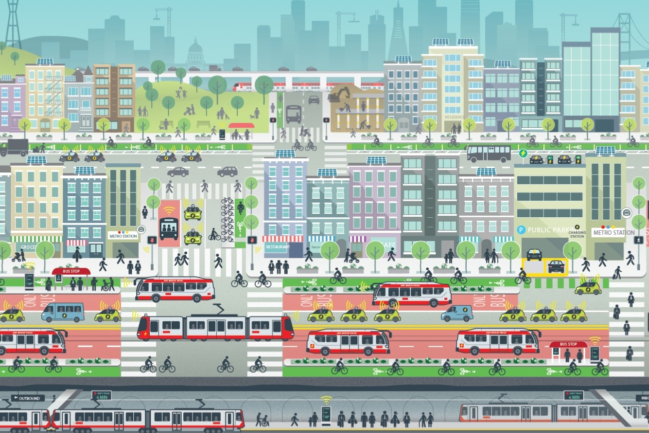
ConnectSF is a multi-agency collaborative process to build an effective, equitable, and sustainable transportation system for San Francisco’s future.