Overview
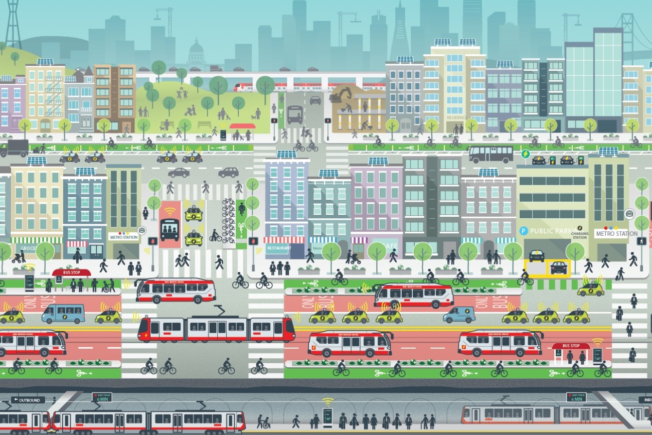
The Transbay Comprehensive Multimodal Corridor Plan Supplement presents a comprehensive approach for managing congestion, improving safety, and maximizing flow for all modes and incorporates measures to reduce air pollution and greenhouse gasses.
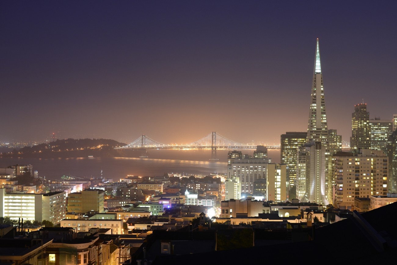
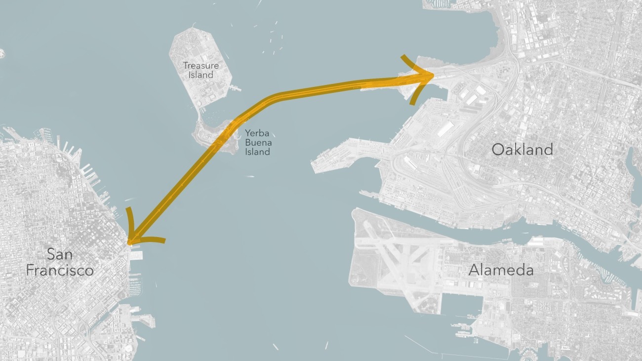
The Transbay Corridor encompasses all modes of travel between the East Bay and San Francisco and the Peninsula and is defined as the area between West Oakland and the Peninsula, with important focus on Treasure Island and downtown San Francisco. The Transbay Corridor serves local, regional, and interregional traffic of people and goods between the East Bay and San Francisco and beyond. The corridor is used by a variety of modes, including personal vehicles, trucks, and public transit, including AC Transit buses on the San Francisco-Oakland Bay Bridge, BART trains in the Transbay Tube, WETA’s San Francisco Bay Ferry terminals and routes, and other bus operators.
The corridor is vital to interregional and regional commuting, freight movement and recreational travel.
The Transbay CMCP was developed pursuant to the statutory mandate for Caltrans to conduct long-range corridor planning, as well as in response to the Road and Repair Accountability Act of 2017, also known as Senate Bill 1, that was passed in April 2017. In 2020, BART published a Transbay Corridor Hybrid Summary which updated the CMCP. The Transportation Authority developed a Supplement to the Transbay CMCP to consider new modes of transportation - walking, bicycling, micromobility and ferry - that were not included in the previous CMCP documents.
Related programs